Photo: MatthewGhera · CC BY 3.0

Very easy to reach
The route
- Length
- 25.4 km
- Highest point
- 1,900 m
- Lowest point
- 1,162 m
The track is derived from OpenStreetMap (© OpenStreetMap contributors, ODbL licence) and is indicative: ascents and altitudes are estimates. Before setting out always check the route, difficulty, conditions and any seasonal or temporary closures.
A long loop of about 27 kilometres above Aprica, among woods and pastures, with the Padrio section designed precisely for mountain biking: demanding climbs and technical descents.
Aprica's long loop
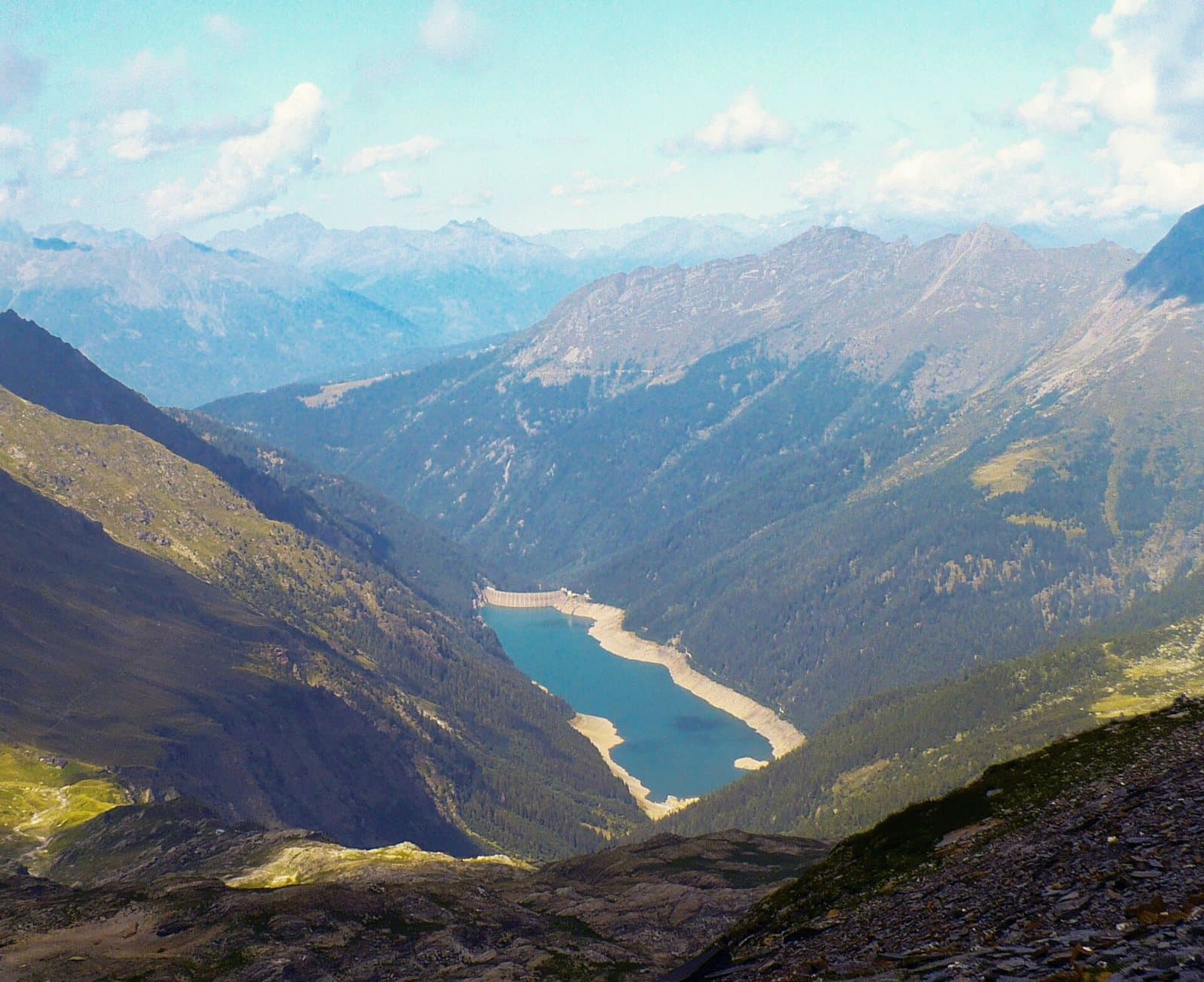
The Aprica-Padrio-Piscè is a marked route above the village of Aprica, among conifer woods and high meadows: about 27 kilometres according to map data. It is not a stroll: the Padrio section, bikers say on Komoot, is designed for mountain biking, with demanding gradients and technical descents. Those who tackle it find a landscape that keeps changing, from woods to clearings, and views over the Valtellina and the mountains of the Val Camonica.
A ride for those with legs and technique
It is a ride for those who already have some fitness and love descents where you have to steer. It can be shortened at various points, and goes well with a day in Aprica, where among the Magnolta trails there are also shorter tracks. The recommended bike is a mountain bike with good suspension; an e-bike helps on the long climbs.
From Tirano: distance, driving time and day trip
Aprica – Padrio – Piscè from Tirano: about 30 minutes by car (14 km) to the starting point (Aprica); then you continue by bike along the route. To these times add the ride described on this page: plan your day accordingly. From Tirano, the Alpine Hub of the Valtellina, you can easily organise day trips: in the evening you return to restaurants, shops and a good dinner.
How to get there
The recommended starting point is Aprica, reachable by car from Tirano (times above); those travelling without a car can consider the train to the nearest town and then the bike. Download the GPX track from this page and save the maps offline before setting out: the mobile network may be missing.
How to ride it
Plan the day with the GPX track and carry water, food and a repair kit. Snow can linger at altitude late in the season: find out about the state of the route.
Before you go
Check the weather, the route conditions and any seasonal or temporary closures of roads and paths. Carry a helmet, water, food, a repair kit and a charged phone: the single emergency number is 112. Respect walkers, animals and protected areas, and always give way to those on foot.
Gallery
Photo: Gianluca Cogoli · CC BY 3.0