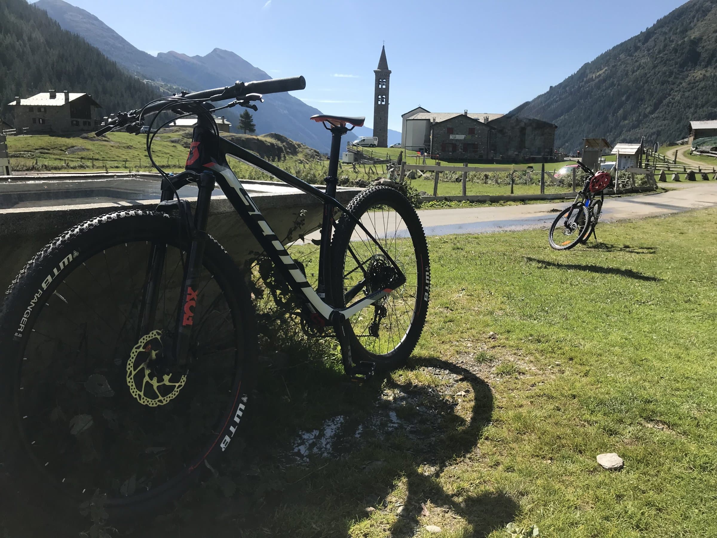
Valtellina and Upper Valtellina
Mountain biking
Gravel roads among the vineyards, cycle paths along the Adda, high-mountain trails and bike parks: the Valtellina is a playground for anyone who loves to ride, and Tirano is the right place to start from.
Why here
The Valtellina, the ideal place for mountain biking
There are valleys you cross and valleys you live in the saddle. The Valtellina belongs to the second kind: a long, luminous furrow running east to west, with the sunny Rhaetian side covered in terraced vineyards and the shadier Orobie side, cool in summer, rich in woods and high pastures. On both sides the farm and forest roads, the ones that lead to pastures and woodland, the mule tracks and the military paths of the Great War climb at steady gradients, with views opening at every hairpin. It is generous terrain, good for those riding for the first time and for those who want technical descents and serious climbing.
Here the bike is not a fashion: it is an old way of moving between the hamlets, the mid-mountain meadows and the huts. The valley floor is crossed by the Sentiero Valtellina, a cycle route that links Bormio to Colico, on Lake Como, over about 114 kilometres, mostly flat and paved, with a few unpaved stretches. From that backbone branch off the routes that climb to the Cancano lakes, the side valleys and the border passes. In the Upper Valtellina the hydroelectric plants and their canals gave rise to the Ciclovia dell'Energia, three themed routes; at Livigno and Aprica there are bike parks, with marked trails for downhill, enduro and flow.
Tirano has an almost perfect position, and you see it on the map: it sits at the eastern end of the valley, on the Sentiero Valtellina, a few kilometres from the Swiss border and the Valposchiavo. From here you reach the Mortirolo Pass, a legend of cycling, in little over half an hour by car; Aprica, with its resort area, is about twenty-five minutes away; Bormio and Livigno, with their bike parks, are an hour or a little more. And if you want a change of scenery, the Bernina Red Train leaves from Tirano station and takes you in a few minutes to the Switzerland of lakes and passes: playgrounds that appeal to people who come from far away.
Then there is comfort, which on holiday counts as much as the climbing. Tirano is a town built to the scale of the visitor: hotels and B&Bs near the station, restaurants with traditional dishes, shops, a railway station from which most of the valley can be reached without a car. For a cyclist it means being able to plan a holiday where every morning you ride in a different area and every evening you return to the same bed, after a dinner of pizzoccheri or bresaola. An Alpine base, comfortable and easy to reach, from which to move at your own pace: for those staying three days, for those with a week, and even for those arriving for a long weekend who want to make the most of it.
- 114 km
- of Sentiero Valtellina, from Bormio to Colico
- 3
- routes of the Ciclovia dell'Energia
- 2
- bike parks: Livigno and Aprica
- 25 min
- from Tirano to Aprica, by car
Where to ride
An overview of the places, and how easy they are to reach
From the valley-floor cycle path to the bike parks, here are the main areas where you can ride. Car times are calculated from Tirano to the nearest point reachable by road: always check the route, distances and closures before setting out.
Tirano and the Media Valtellina
It is the most convenient starting point: the Sentiero Valtellina passes through the town, and from here you cross the valley floor among orchards and vineyards as far as Sondrio. Those looking for more demanding rides find the roads that climb to the mid-mountain meadows above the town, such as Roncaiola and Baruffini, and the climbs towards Teglio and the Val Belviso, with views over the valley floor and the vineyards. The Mortirolo is reached in about 35 minutes by car from Tirano. You can set off by bike from the station, and it is the best choice for those travelling without a car.
Aprica and the Val Belviso
Aprica is about 25 minutes by car from Tirano and has marked routes: the Magnolta Trail, the Gembro, the Valentina and the Alpini Trail, up to the long Aprica-Padrio-Piscè loop of about 27 kilometres. You can choose between fun descents and climbs among larches and meadows, and the area is also good for those travelling with the family. Not far away, the Val Belviso opens high-mountain routes on the Orobie side, among beech woods, lakes and alpine huts.
Bormio and the Upper Valtellina
About 37 minutes from Tirano begins the paradise of those who love long gravel rides. The Ciclovia dell'Energia links the A2A hydroelectric plants with three routes: the Green, of about 40 kilometres, between Grosotto and the Torri di Fraele; the Red, of about 65 kilometres, from Calcarola to Cancano; the Orange, more demanding. Above Cancano, the Decauville is a 10-kilometre ribbon among the lakes, and the Pedemontana della Reit runs above Bormio. At Bormio there is also a bike park with a rental shop at the bottom station.
Livigno
A little more than an hour and a quarter from Tirano, over the Forcola or via Bormio, Livigno is one of the great poles of Alpine mountain biking: the Mottolino Bike Park offers lines of different levels, from H-Dream and Blueberry Line to the more technical trails, with the lifts that, in season, carry bikes up. All around, trails for enduro and quieter ones among the huts and side valleys. It is worth a full day, or better a weekend.
Valmalenco and the Orobie
From Tirano, about an hour and a half away, the Valmalenco offers high-altitude climbs and gravel tracks under the Bernina glaciers. Beware of closures: the road to Campo Moro, for example, is closed because of a landslide, so always check the state of the roads before choosing a route. On the Orobie side, the valleys of Piateda and Albosaggia climb towards huts and lakes with long routes, for those with legs and a desire for effort.
Switzerland, a stone's throw away
From Tirano, through the Valposchiavo, the border is a few minutes away. The loop of Lake Poschiavo with the climb to the church of San Romerio, of about 47 kilometres, is among the most followed routes on Komoot in the Tirano area, and a classic for those who want a really hard day. With your passport or ID card in your pocket and an eye on the time of your return, it is an outing that offers landscapes very different from those of the valley.
When to go? The valley floor and the vineyards can be ridden from spring to late autumn, with the best days in May, June and September. At altitude the roads and trails clear of snow late in the season, generally from June-July to September, and the bike parks open in summer: for example, the rental shop of the Bormio bike parks gave the season as 16 May to 11 October 2026. Dates change from year to year, and snow can linger: always find out about the state of the routes.
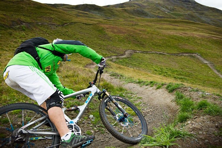
The routes
The famous routes to download
Each page has the track marked on the map, the essential information and the button to download the GPX file. To see the photos and comments of those who have already ridden it, you also find the link to Komoot.
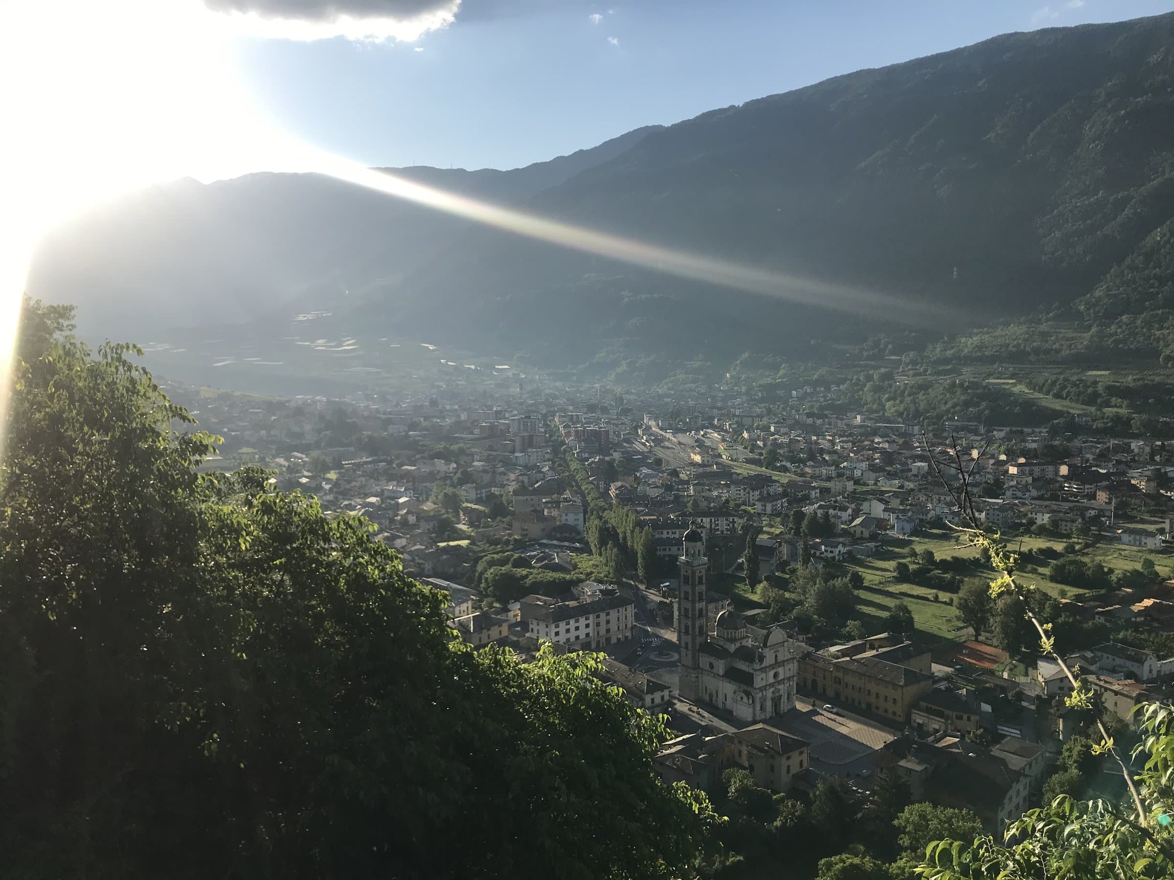
Sentiero Valtellina
114.7 kmEasy
The silver thread of the valley floor: a cycle route of about 114 kilometres from Bormio to Colico, almost all flat, with Tirano along the way. Ideal for a first day in the saddle, or for any family.
From Tirano: 2 km · 5 min by car
Discover the route →
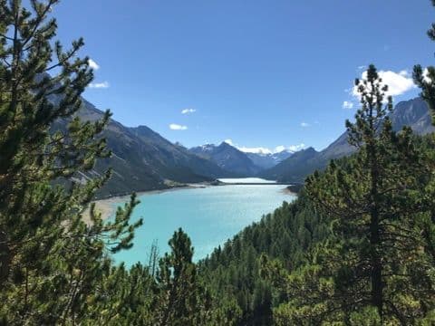
Ciclovia dell'Energia (Energy Cycleway)
Three routes among the power stations, canals and dams of the Upper Valtellina: the Green from Grosotto to the Torri di Fraele, the Red to Cancano, the Orange for the fittest. Riding where water becomes light.
From Tirano: 13 km · 10 min by car
Discover the route →
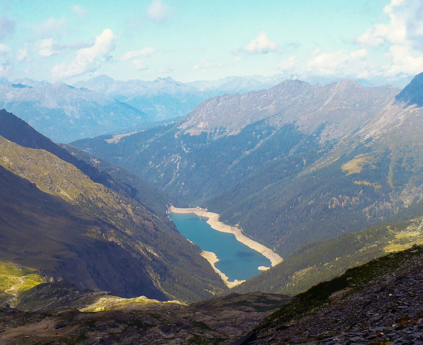
Aprica – Padrio – Piscè
25.4 km
A long loop of about 27 kilometres above Aprica, among woods and pastures, with the Padrio section designed precisely for mountain biking: demanding climbs and technical descents.
From Tirano: 14 km · 30 min by car
Discover the route →
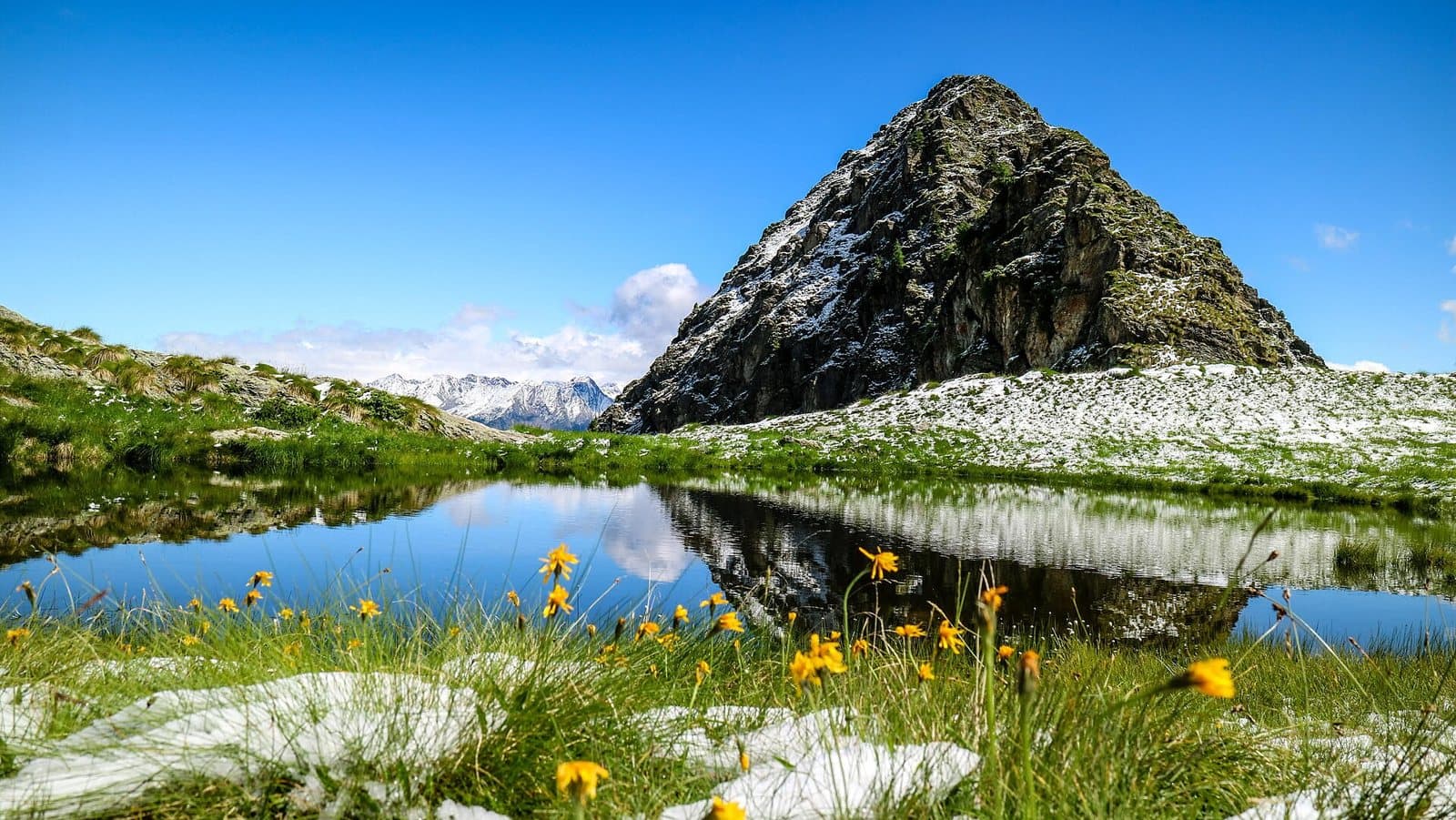
The Aprica trails: Magnolta, Gembro, Valentina, Alpini
A web of marked trails around Magnolta, Palabione and the Val Sorda: the Magnolta Trail, the Gembro, the Valentina and the Alpini Trail, a few kilometres each, to choose the ride that fits.
From Tirano: 23 km · 35 min by car
Discover the route →
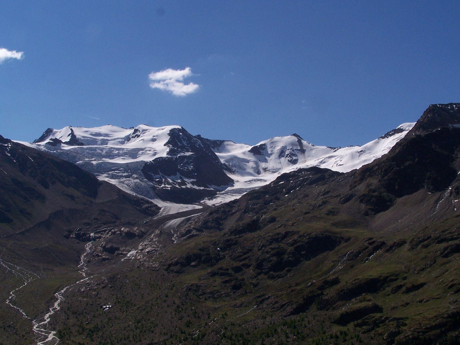
Pedemontana della Reit
14.1 kmModerate
A balcony of larches and meadows above Bormio, in the Stelvio National Park: a varied loop for mountain bikes and e-bikes, with views over the valley and the peaks that close it.
From Tirano: 41 km · 40 min by car
Discover the route →
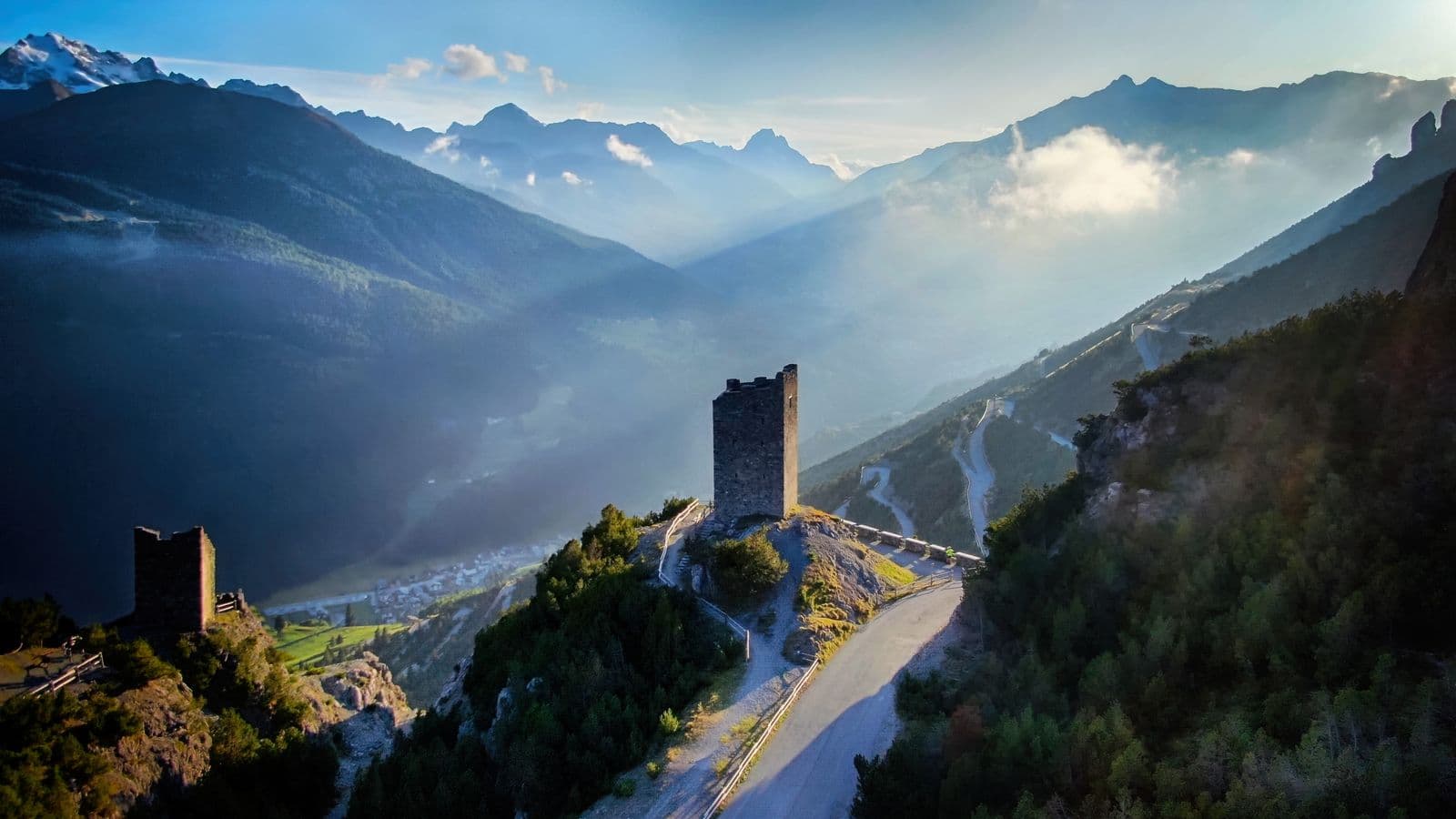
La Decauville
↗ 144 mEasy
A flat, panoramic path on the track of a mountain railway: twelve kilometres between Arnoga and Cancano, above Valdidentro, on foot or by bike.
From Tirano: 52 km · 1 h by car
Discover the route →
Mottolino Bike Park and the Livigno flow trails
Livigno's great mountain-bike park: flow trails such as Coast to Coast and H-Dream, Blueberry Line and more technical tracks, with the lifts that carry bikes up. Fun at altitude.
From Tirano: 78 km · 1 h 15 min by car
Discover the route →
Rental and repairs
Renting a bike in the Valtellina is easy
There is no need to bring your bike from home: in the Valtellina rental is an organised service, with points in the main towns and, for those travelling by train, the chance to collect the bike in one place and return it in another. In Tirano the Valtellina Rent a Bike rental point is at the Tourist Office, in Piazza delle Stazioni, a step from the station: there are city bikes, mountain bikes and e-bikes, with accessories. The service is best used by reservation, at least 24 hours ahead, and lets you return the bike along the Tirano-Sondrio-Morbegno-Colico line.
Also in Tirano, in the old town, there is Cicliama, in via Trivigno: a shop with sales, rental and a workshop to repair your bike, useful if a gear breaks or you get a puncture far from home. In Sondrio there is the main Valtelbike point, which also organises guided tours and a shuttle service; at Bormio and Livigno the bike parks have their own rental shops, with downhill and enduro equipment and e-bikes, full-face helmets and protection.
A few practical tips, so as not to end up with the wrong bike on the wrong day. Book ahead in high season, especially on summer weekends and in August; choose the bike according to the route (an e-bike with good range for long climbs, a hardtail for the cycle paths, a full-suspension for technical descents); check tyres, brakes and suspension before setting out, and always ask for a repair kit. Prices and seasons change from year to year: check the shops' websites.
Where to rent and repair
A list of places, from Tirano towards the upper valley. Services, hours and seasons must be confirmed with the operators.
Tirano and surroundings
Cicliama ↗
Tirano · Via Trivigno 2
- Rental
- Repairs
- Sales
A shop in the old town: sales, rental and a workshop for repairs; the range includes mountain bikes, road bikes, gravel and e-bikes. The website does not list the rental models: ask for what you need.
Valtellina Rent a Bike – Tirano ↗
Tirano · Piazza delle Stazioni 18 (Ufficio Turistico)
- Rental
- E-bikes
- Guided tours
Rental point at the Tourist Office, a step from the station: city bikes, mountain bikes and e-bikes with accessories. According to public information it is best to book at least 24 hours ahead, and you can return the bike at another point along the Tirano-Sondrio-Morbegno-Colico line.
Sondrio and the Media Valtellina
Valtelbike – Sondrio ↗
Sondrio · Istituto De Simoni, Via Tirano
- Rental
- Guided tours
- Shuttle
Main point of the Valtellina Rent a Bike service: rental, information, guided tours, shuttle and bike recovery. Hours given: April to October, 7.30 to 19.00; other periods on request.
Bormio
Bormio Rental – Rossignol Pro Shop ↗
Bormio · Stazione a valle della cabinovia (Via Battaglion Morbegno 25)
- Rental
- E-bikes
- Repairs
- Sales
The bike park shop: e-bikes, mountain and downhill bikes, road and gravel bikes, mechanical service and second-hand bikes. Season given as 16 May to 11 October 2026, every day from 8.30 to 18.30.
Mapo Bike ↗
Valdidentro · Via Nazionale 91
- Rental
- E-bikes
- Repairs
Rental of road bikes, mountain bikes and e-bikes, with a workshop for every kind of repair. Phone and email come from a single tourist listing: reconfirm them before setting out.
Livigno
Mottolino Rent & Bike Hub ↗
Livigno · Via Bondi 473/A
- Rental
- E-bikes
- Repairs
- Sales
Livigno's rental hub: downhill, enduro, gravel, road bikes, e-bikes, city bikes and kids' bikes, with a workshop for repairs. According to a specialist source it is also a Trek dealer. Contact details to be reconfirmed on the website.
Information gathered from public sources: hours, prices and seasons change. Before setting out contact the shop and book, especially in high season.
The rules
How to go mountain biking sensibly
The mountain belongs to everyone: to those who walk, to those who tend livestock, to those who ride. A few rules of common sense make the difference between a lovely day and a problem for someone.
- 1
Stay on the trail
Avoid shortcuts and cuts between the hairpins: the ground is damaged and, with rain, the ruts become streams. A marked trail is already a pact with those who look after it, and it was almost always laid out precisely to avoid the most fragile spots.
- 2
Pedestrians have priority
Whoever is walking always has priority. Slow down, warn with your voice or a bell, and say thank you when they let you pass. The same goes for horses and herds.
- 3
Control your speed
On descents, in bends and on narrow trails you must always be able to stop in the space you can see ahead. Behind a bend there may be a hiker, a dog, a cow.
- 4
Equip yourself well
A helmet always, gloves, glasses and, for technical descents, a full-face helmet and protection. Carry a spare inner tube, a pump, a multi-tool and a light jacket: at altitude the weather changes fast.
- 5
Plan the ride
Check the weather, the climb and the duration, and choose a route suited to your fitness. Tell someone where you are going. Carry water, food and a charged phone, and remember that in an emergency the single number is 112.
- 6
Respect the environment
Do not leave litter, do not disturb wildlife and do not leave the routes in protected areas such as the Stelvio National Park and the Orobie Valtellinesi Park, where bans and limits may apply.
- 7
Alpine pastures and livestock
Close gates you find closed, pass slowly near animals and keep away from the shepherds' guard dogs: if they approach, get off the bike and walk.
- 8
Avoid wet trails
After heavy rain the surface is fragile. If the trail is soft, choose a gravel road or postpone: you avoid damaging it and slipping.
- 9
Check closures and orders
Some roads and trails close for snow, landslides, works or events, and certain routes are closed to bikes. Always check up-to-date information before setting out.
- 10
On the road, follow the Highway Code
On paved stretches the rules for everyone apply: keep right, use lights in tunnels and at dusk, and watch the hairpins, where cars appear suddenly.
- 11
E-bike: it is not a motorbike
Pedal assist takes you higher and further, but it does not cancel the limit of the batteries or that of your legs. Work out the range, keep a reserve and remember that an e-bike is heavy to push.
These are common-sense indications and do not replace the rules in force or the instructions of the managers of parks and trails.
The apps
Free apps for maps, GPX and navigation
With a smartphone, or a bike computer, you follow the GPX track downloaded from the site and stay on the route even without signal. Here are some apps that can be downloaded for free, at least in the basic version: the advanced functions are, in some cases, paid.
Komoot ↗
Planning, voice navigation and a community with photos and comments. You can import a GPX and save maps offline; the free version has limits on offline regions.
Outdooractive ↗
A large archive of routes, with offline maps and GPX files. The basic version is free, with some paid functions.
Trailforks ↗
Designed for mountain biking: it shows the difficulty of trails and bike parks, and lets you record your rides. The basic version is free.
Strava ↗
It records your rides and shares them with friends; the routes and heatmaps help you see where people ride. Some functions are paid.
OsmAnd ↗
Offline maps based on OpenStreetMap, with GPX tracks and navigation. The free version has a limit on the number of maps you can download.
Organic Maps ↗
Free offline maps, simple and ad-free, also with GPX tracks. Useful as a backup map.
Mapy.com ↗
Very detailed tourist maps with trails and cycle paths, free and downloadable offline.
Google Maps ↗
To get to the starting point: you can download the offline maps of an area and check journey times.
A tip that applies to all of them: download the maps and the track before setting out, while you still have a connection. In the valley phones do not always get a signal, and the network fades as you climb. If you ride with a bike computer (Garmin, Wahoo and similar), you can import the same GPX file.
See the routes on the map
The tracks are marked on the main map with the mountain-bike icon: turn on the filter and choose your ride.
Route conditions, closures and the seasons of services change. Always check the official websites and on the spot before setting out.