Photo: Marcobarci · CC BY-SA 3.0

Easy to reach from Tirano
The route
- Length
- 14.1 km
- Highest point
- 1,748 m
- Lowest point
- 1,350 m
- Difficulty
- Moderate
The track is derived from OpenStreetMap (© OpenStreetMap contributors, ODbL licence) and is indicative: ascents and altitudes are estimates. Before setting out always check the route, difficulty, conditions and any seasonal or temporary closures.
A balcony of larches and meadows above Bormio, in the Stelvio National Park: a varied loop for mountain bikes and e-bikes, with views over the valley and the peaks that close it.
A balcony above Bormio
The Pedemontana della Reit runs along the hillside above Bormio, among the larches and meadows of the Stelvio National Park. According to Komoot the classic loop is about 23 kilometres, with about 680 metres of climbing, and rated of medium difficulty; Bormio's tourist site proposes a mountain-bike version of about 15 kilometres. The larch wood is lovely in autumn, when the crowns turn golden, but in spring and summer too the route is a pleasure.
Views and calm
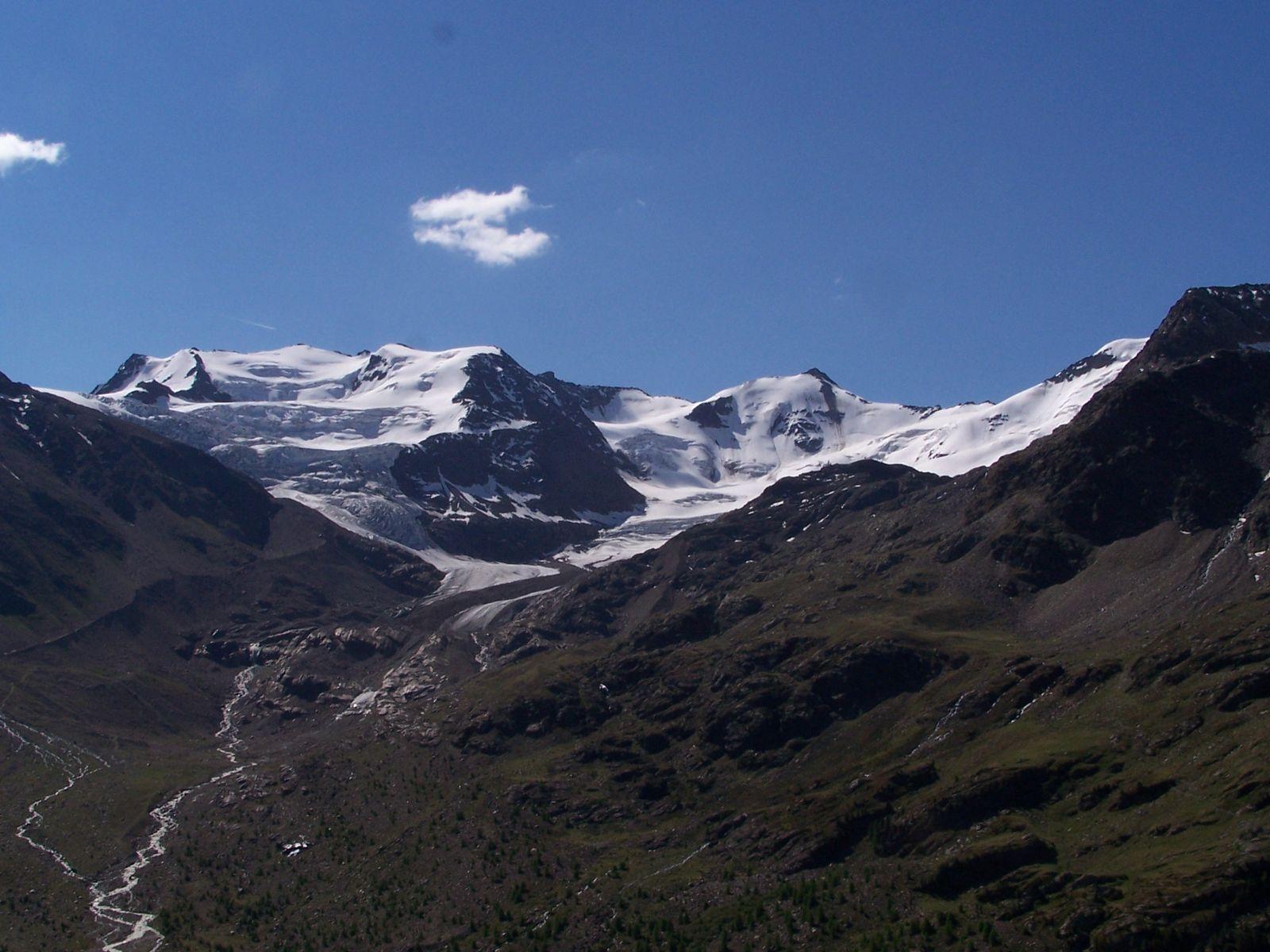
From the meadows the view opens over the Bormio valley and the peaks of the Ortles-Cevedale and the Stelvio. It is a quiet ride, suitable also for those using an e-bike, and combines well with a stop in Bormio, with its baths and old town. The route runs in a national park: respect the paths and the wildlife.
From Tirano: distance, driving time and day trip
Pedemontana della Reit from Tirano: about 40 minutes by car (40 km) to the starting point (Bormio); then you continue by bike along the route. To these times add the ride described on this page: plan your day accordingly. From Tirano, the Alpine Hub of the Valtellina, you can easily organise day trips: in the evening you return to restaurants, shops and a good dinner.
How to get there
The recommended starting point is Bormio, reachable by car from Tirano (times above); those travelling without a car can consider the train to the nearest town and then the bike. Download the GPX track from this page and save the maps offline before setting out: the mobile network may be missing.
How to ride it
Set off from Bormio with a mountain bike or an e-bike and follow the GPX track. Carry water, a windproof jacket and a spare inner tube. The route is in a national park: respect the paths and the wildlife.
Before you go
Check the weather, the route conditions and any seasonal or temporary closures of roads and paths. Carry a helmet, water, food, a repair kit and a charged phone: the single emergency number is 112. Respect walkers, animals and protected areas, and always give way to those on foot.
Gallery
Photo: Giorgio Galeotti · CC BY 4.0