Valtellina
Places of interest
Valleys, mountains, lakes and villages of the Valtellina, reachable from Tirano: every page shows distance and driving time
Food and Wine
Wines, cheeses, bresaola and traditional Valtellina cuisine.
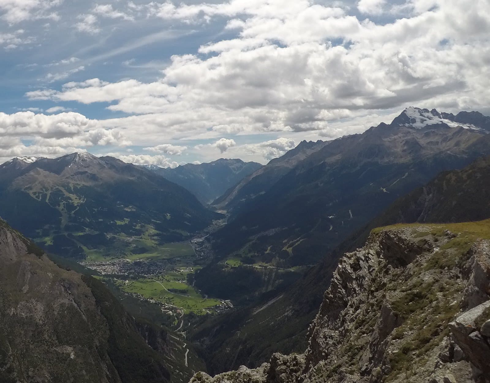
Distillery and amaro
Amaro Braulio · Casa Braulio
In Bormio, the cellars where the amaro of alpine herbs sleeps: a fifty-minute visit among oak barrels and a recipe born in the nineteenth century.
Brewery
Birra Stelvio · Reit
Bormio's beer: born from the family that gave the world Braulio, paused in 2017 and relaunched in 2019 by the De Monti brothers in a new brewery.
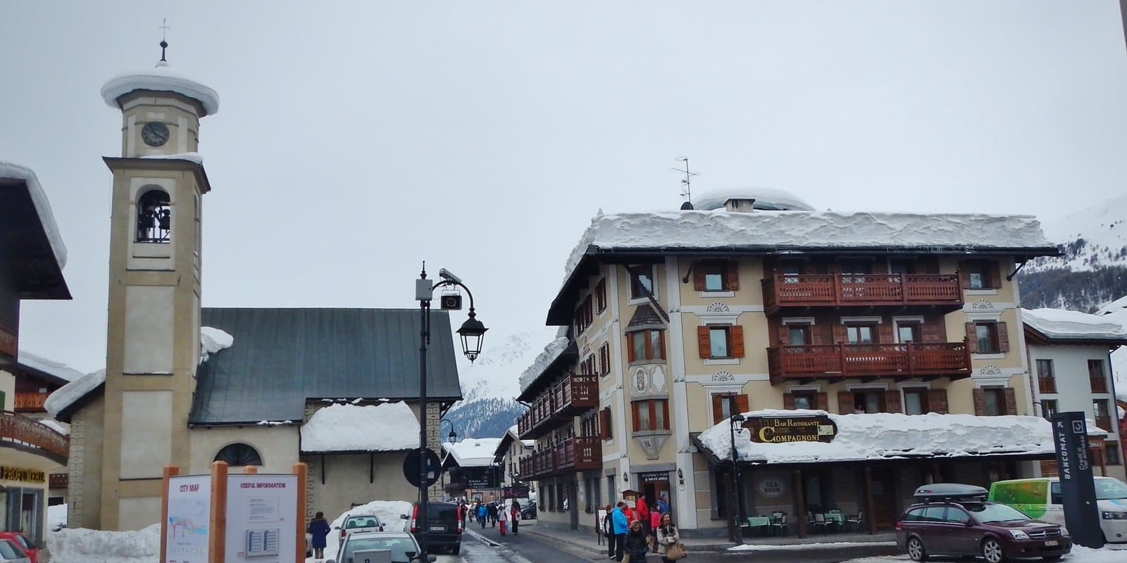
Brewery
Birrificio Livigno 1816
The highest brewpub in Europe, according to the house: craft beer at almost 1,800 metres, with tours and tastings, including with the beer sommelier.
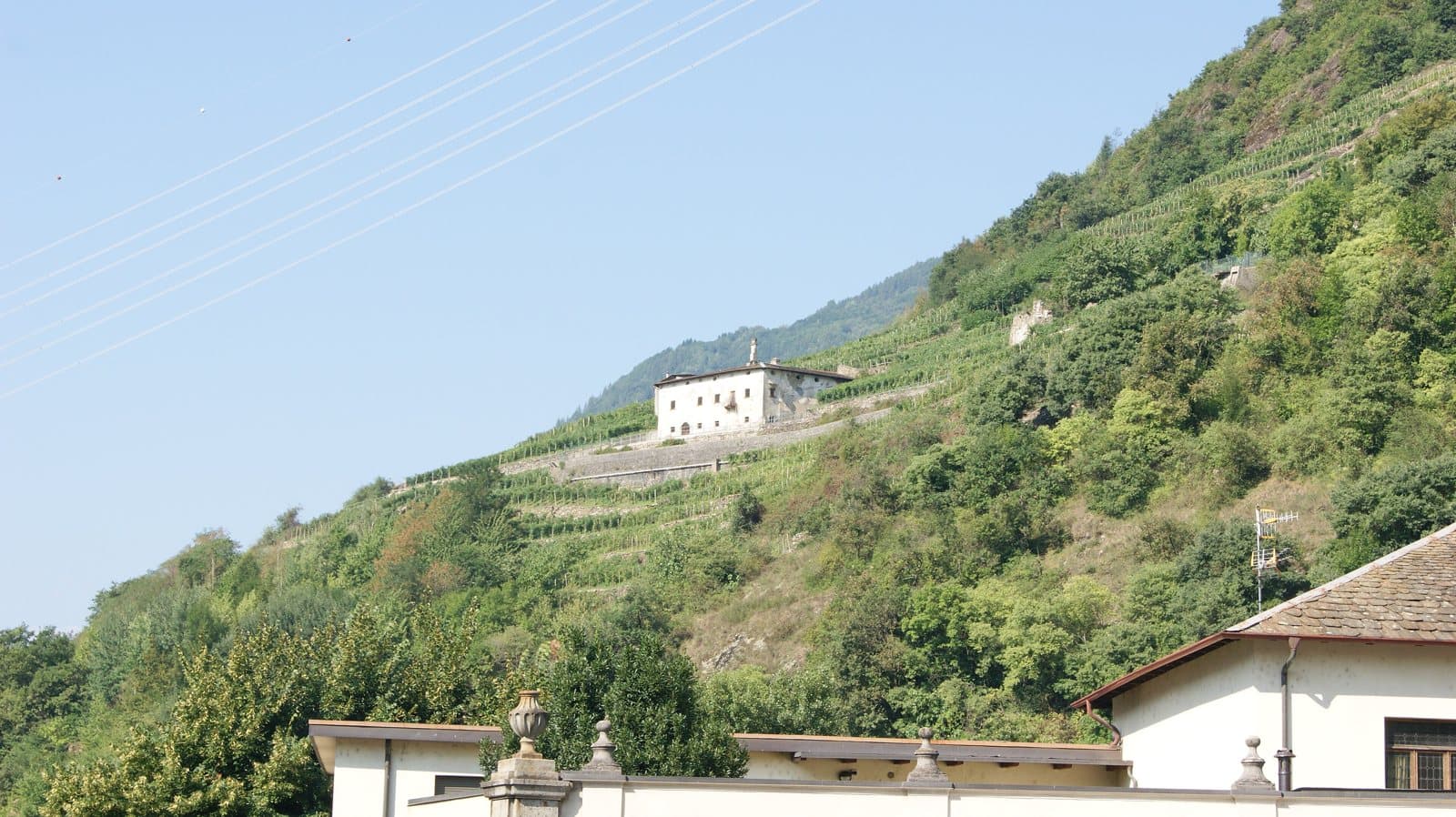
Distillery and amaro
Butéga Valtellina
The shop-and-tasting room of Tirano that gathers the valley's small producers: guided tastings, visits to vineyard and cellar and a genepì liqueur made with the plant picked by hand above 2,400 metres.
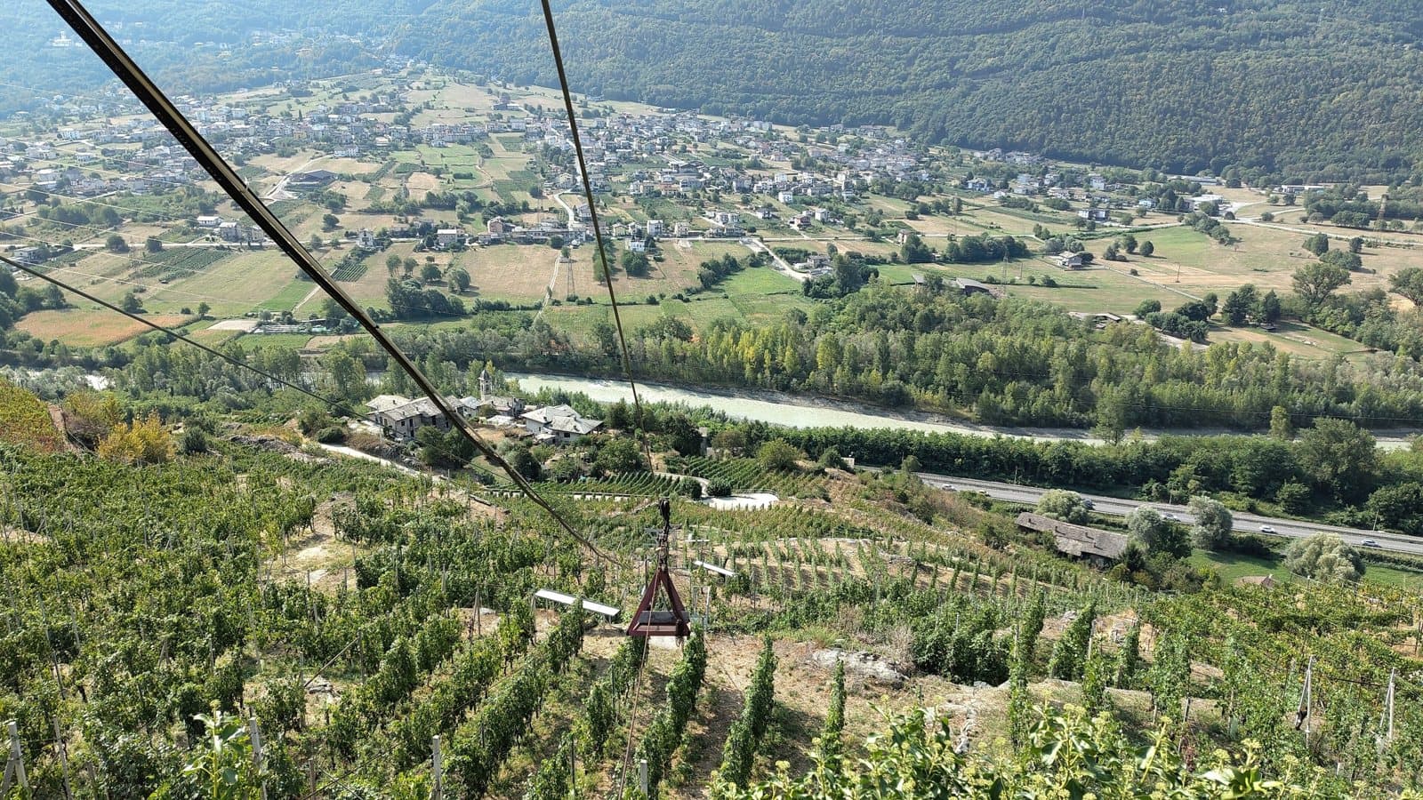
Winery
Ar.Pe.Pe.
Born in 1860, reborn in 1984: an underground cellar in Sondrio, the Nebbiolo of the Sassella and an idea of slow, almost monastic wine, signed by the Pelizzatti Perego family.
Winery
Assoviuno
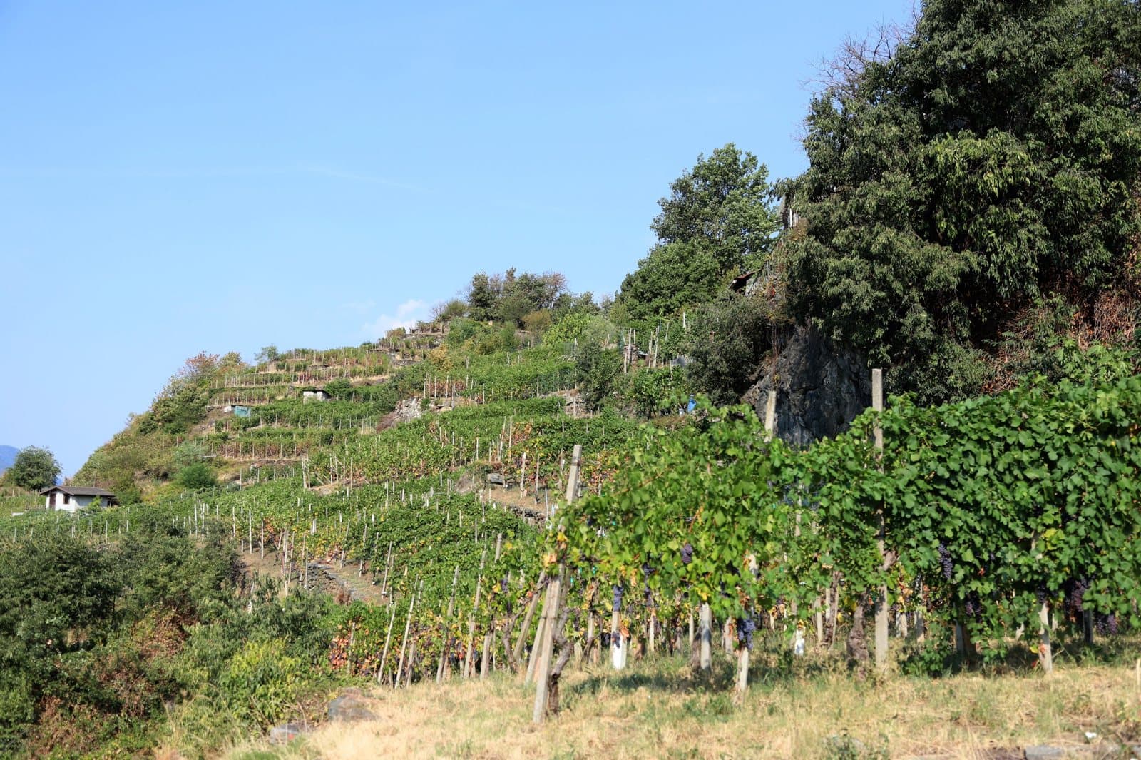
Eight hectares of terraces at Maroggia, born from a consortium in 1981 and relaunched by a young winegrower with his grandfather: a mountain Nebbiolo that carries the name of its own hamlet.
Winery
Balgera Vini
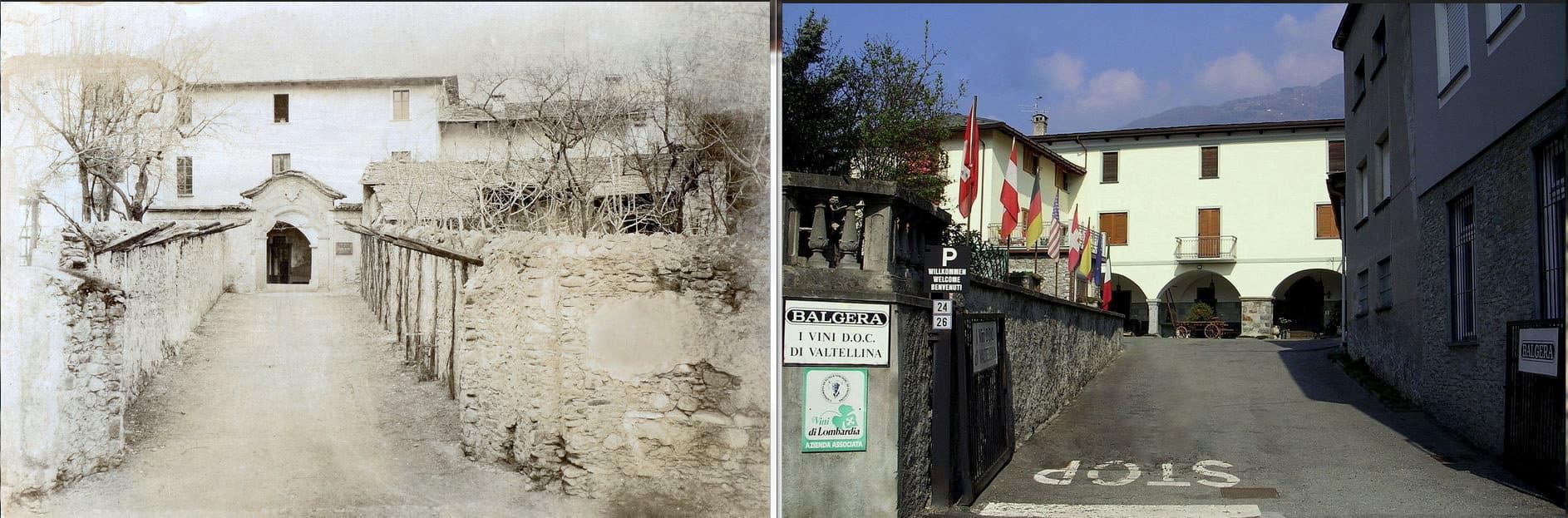
Since 1885 in the villa of Maurizio Quadrio, Mazzini's patriot: five generations of wine, stone vaults and a cellar in the heart of Chiuro.
Winery
Casa Vinicola F.lli Bettini
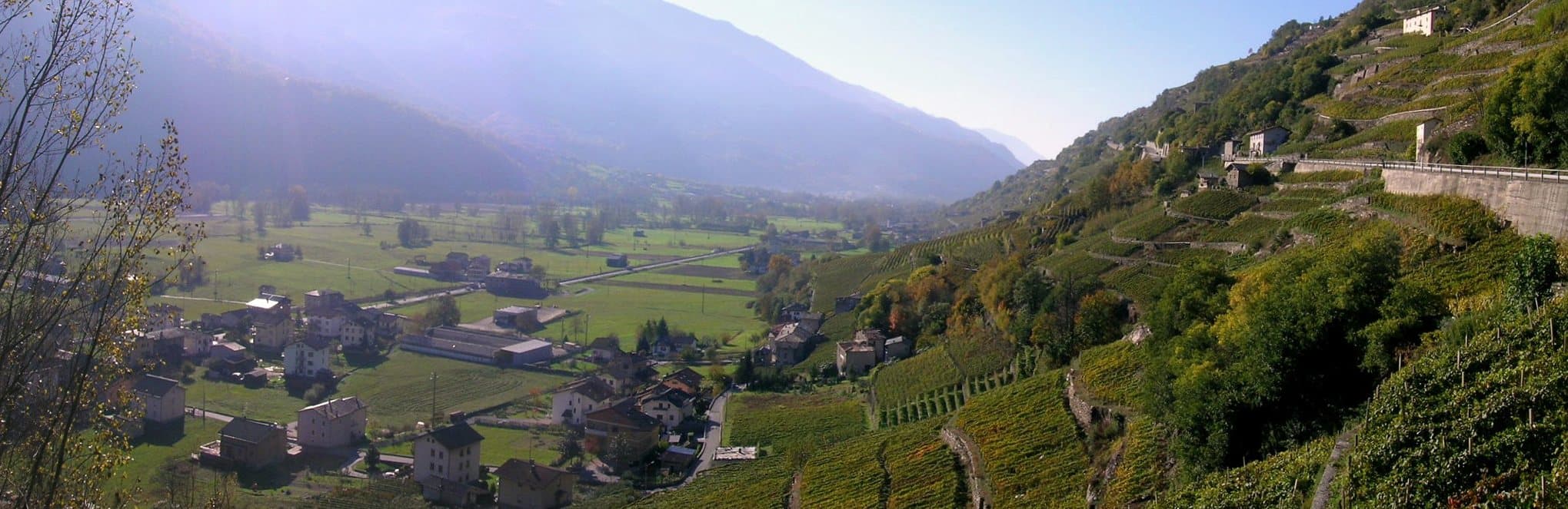
Since 1881 the same family, the same vineyard: the historic Spina in Valgella, cellars carved into the rock and a wine that in the twentieth century crossed the Alps to Davos and Klosters.
Winery
Cà Bianche
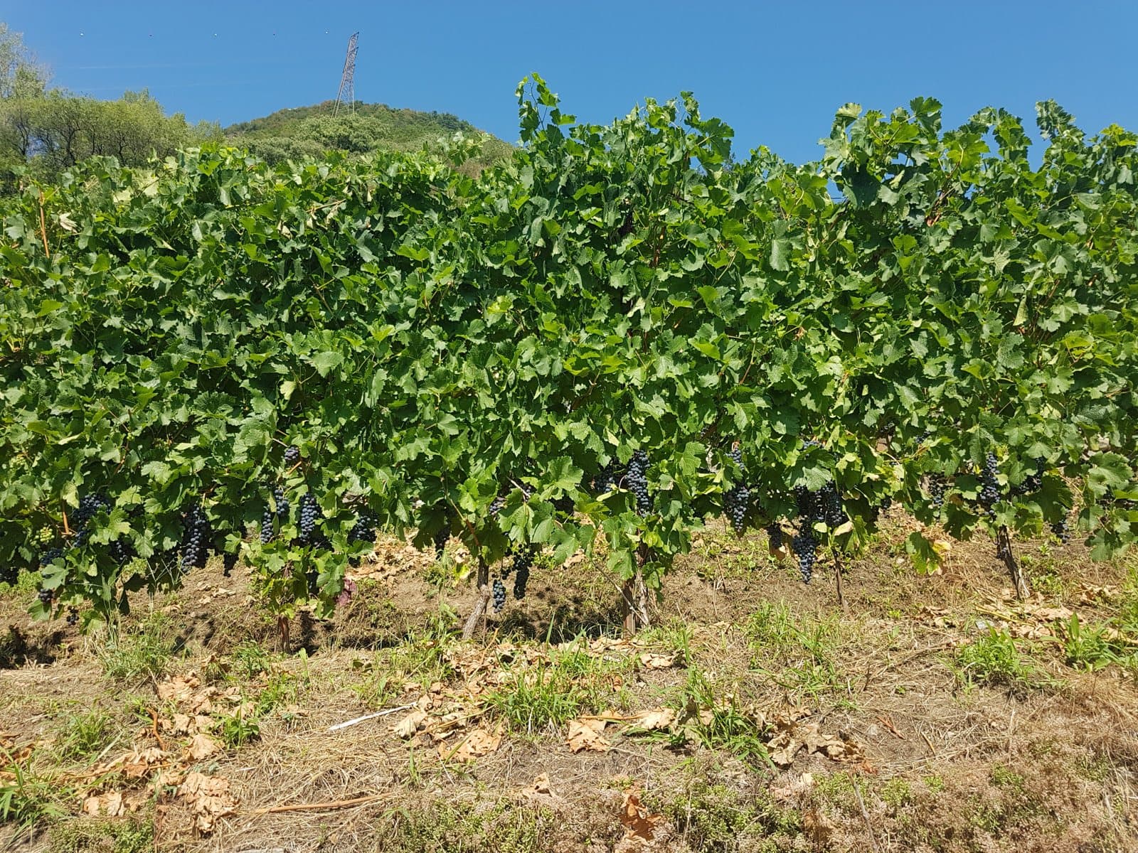
A small family estate in Tirano: three hectares worked by hand, five labels, a Rosso di Valtellina aged in amphora and the experiences in the vineyard with the people who really make the wine.
Winery
Caven Camuna
A name that joins the land of Teglio and the ancient Camunian engravings: since 1982 the «heroic viticulture» of the Nera brothers, on the terraces of Caven.
Winery
Contadi Gasparotti
A cellar and an agribar in the heart of Tirano: chestnut and oak casks, ultra-centenarian vines reachable only on foot and Valtellina boards from afternoon to midnight.
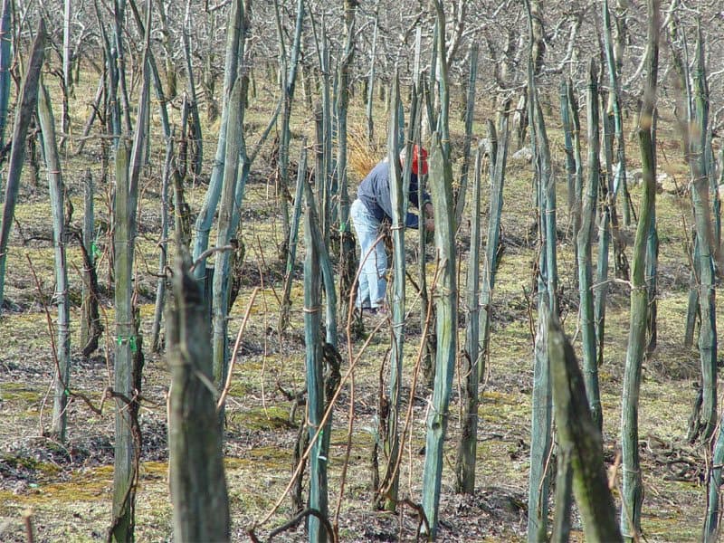
Winery
Dirupi
«Alps. Stone walls. Nebbiolo»: a small winery in Montagna in Valtellina, with vineyards in Grumello and Inferno and a wine called, with irony, «Sbagliato», «wrong».
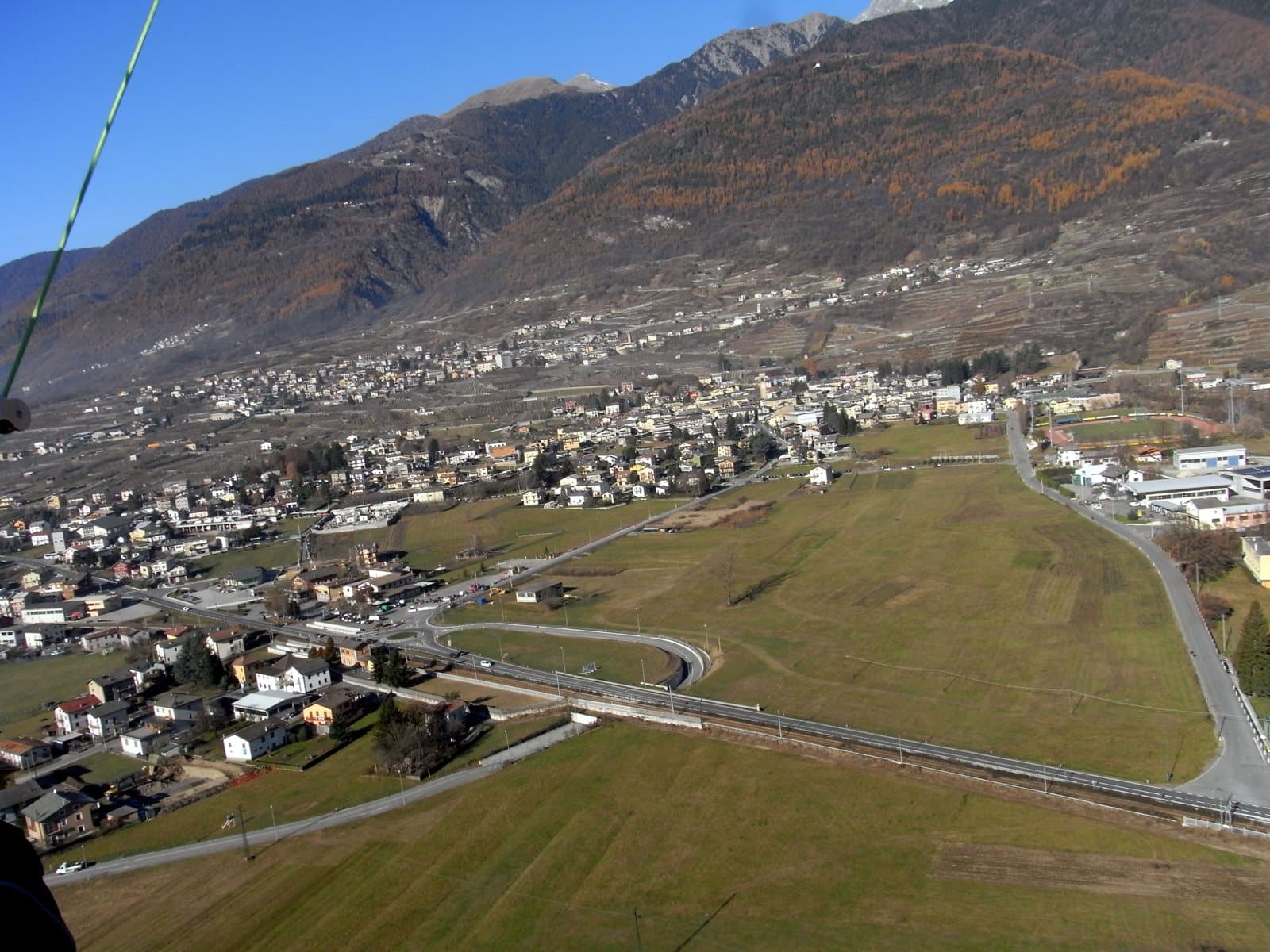
Winery
Folini
Nine hectares in thirty plots between Chiuro and Teglio, a barrel cellar in the medieval village, an agriturismo with Florinda's fresh pasta and the stories of Grandma Caterina, born in 1921.
Winery
La Perla di Marco Triacca
Three and a half hectares laid out along the contour in Valgella, Nebbiolo and Pignola Valtellinese, a vineyard planted by the father in the eighties and a name that is a mother's nickname.
Winery
La Spia
The name comes from a rocky ridge in the Sassella that under the Grisons rule served as a lookout: since 1962 the Rigamonti family has grown Chiavennasca here, among the rocks.
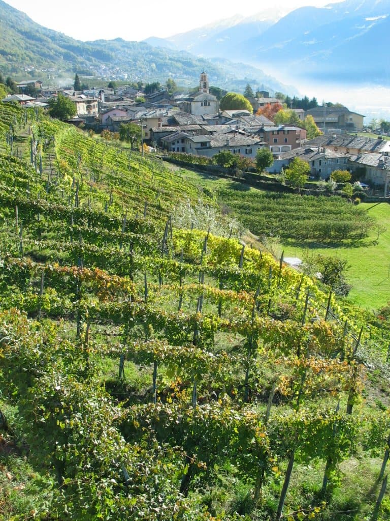
Winery
Le Strie
Two hectares of Nebbiolo and ten thousand bottles, two friends in the vineyard: free visits to cellar and vineyard, and then you buy the wine at cellar prices.
Winery
Luca Faccinelli
Eighty-year-old vines on slopes of 70%, between 400 and 650 metres: a fifteenth-century historic cellar in Chiuro with barrel vaults and an old wine press, and a new one at Tresivio among the terraces.
Winery
Marsetti
A vineyard in the city and a cellar in the medieval Scarpatetti quarter: four generations of wine in Sondrio, with a two-hour guided tour and seven tastings.
Winery
Menegola
Winegrowers since 1850, own wine since 2006: a saignée rosé, a «rupestre» Sassella and a B&B among the rows of Castione Andevenno.
Winery
Casa Vinicola Pietro Nera
A family of winegrowers since 1940: twenty-five hectares, the first girapoggio vineyards of the Valgella and two souls, Nera and Caven, between a sustainable cellar, wine bar and tastings.
Winery
Nino Negri
Since 1897 the most historic wine house of the valley: a fifteenth-century palace in Chiuro, cellars on four underground levels and two and a half thousand kilometres of dry-stone walls to tell about.
Winery
Plozza Vini
A hundred years of wine a step from the Red Train station: the house of Pietro Plozza, a former Rhaetian Railway employee, who in 1946 took the Sforzato off the tables of the wealthy.
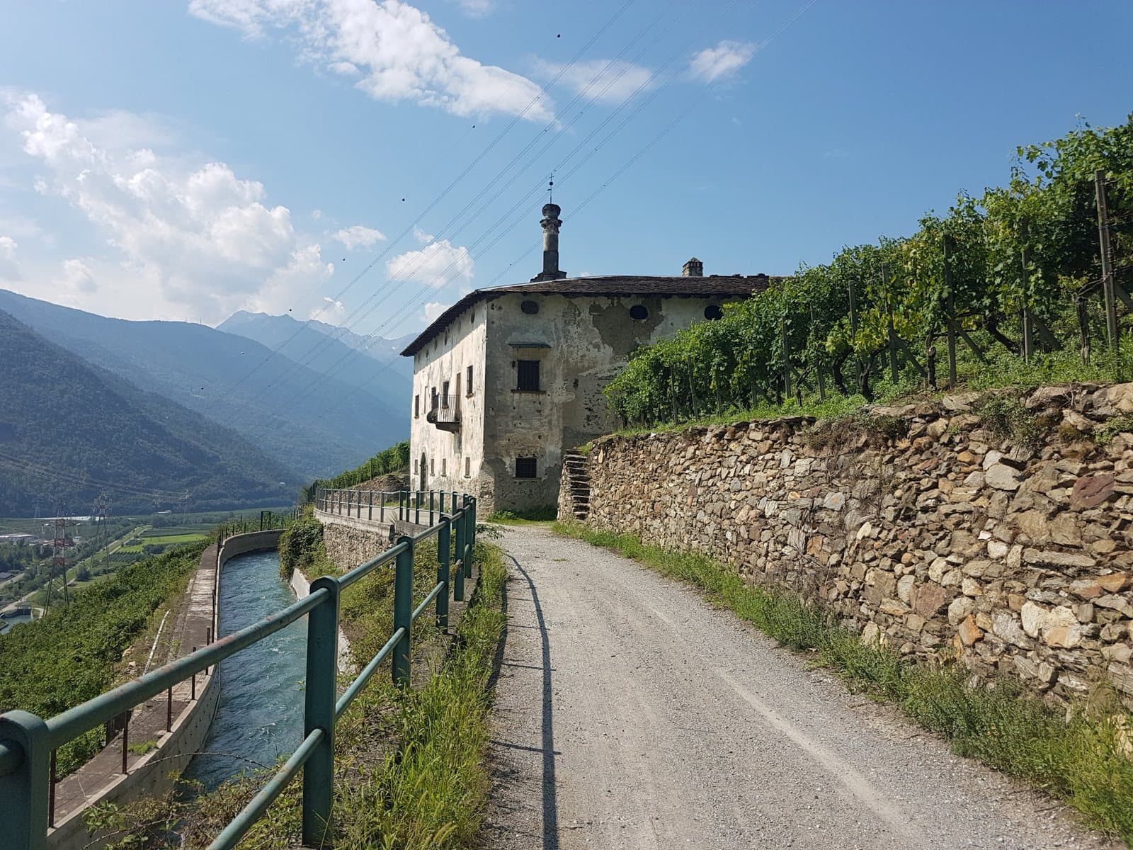
Winery
Radìs
Two friends and brothers-in-law who bring back to life the abandoned terraces of Baruffini, up to 700 metres above Tirano: steep vines, all work by hand and an ancient buckwheat, the Curunin.
Winery
Aldo Rainoldi
Since 1925 a family of winemakers in Chiuro: the Sfursat that matures in the Ca' Rizzieri fruttaio, the Sassella, Grumello and Inferno crus and a programme to adopt a vineyard.
Winery
Sandro Fay
Since 1973 the Valgella told vineyard by vineyard: fifteen hectares between 350 and 900 metres, soils of crumbled granite and eight wines that bear the names of their crus.
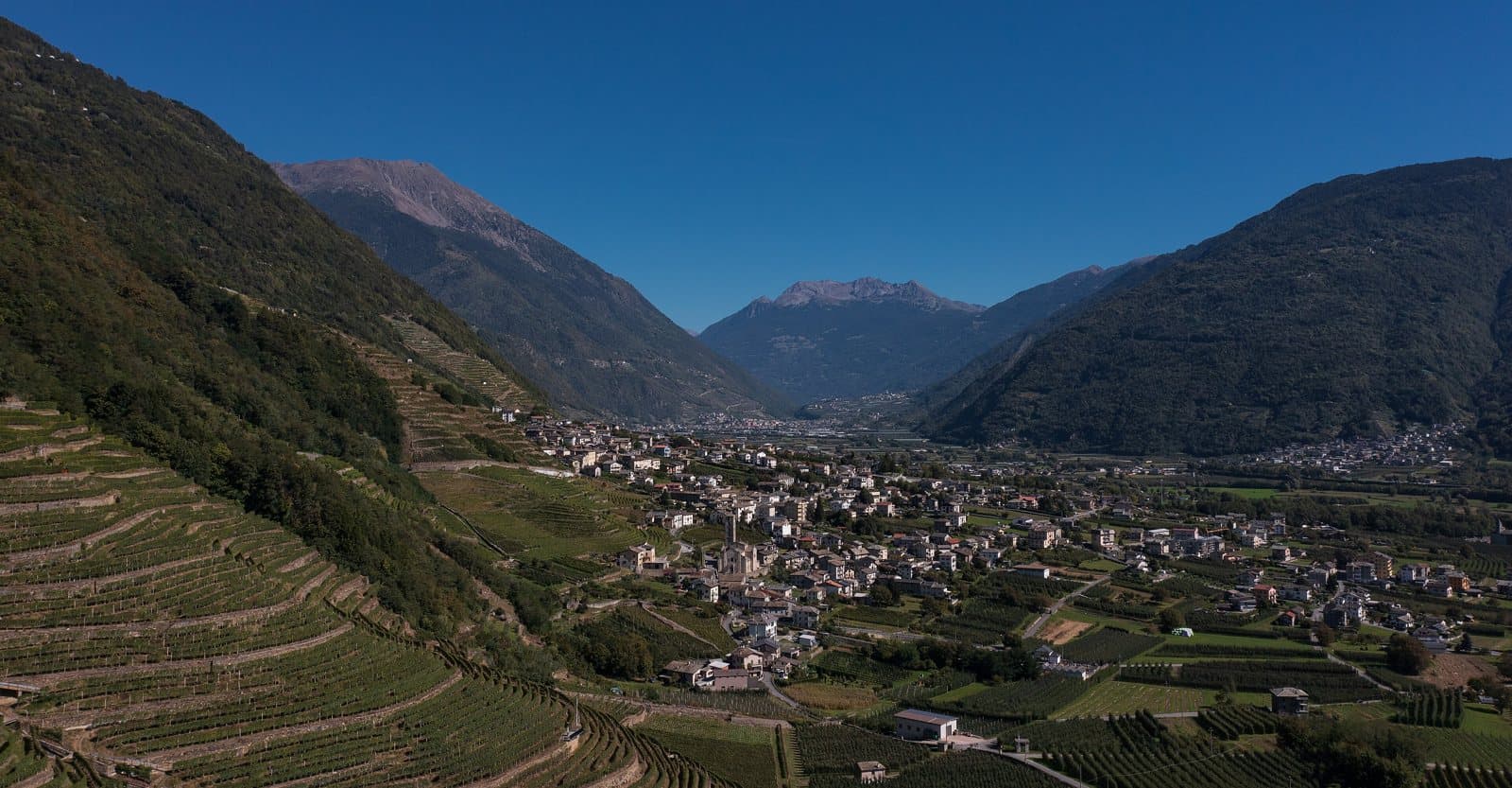
Winery
Triacca – Tenuta La Gatta
A sixteenth-century Dominican monastery among the vines of Bianzone: the Triacca estate, with guided visits, lunches among the rows and picnics in the vineyards.
Winery
Triasso e Sassella
A cooperative born in 2004 to bring abandoned vineyards back to life: pure Sassella Nebbiolo, to taste among the rows and from the barrels.
Distillery and amaro
Distilleria Invitti
Since 1948 in Sondrio, four generations of grappa from Nebbiolo pomace, a gin called «Myterroir» and mountain liqueurs.
Family
Activities and trails suitable for all ages.
Lake
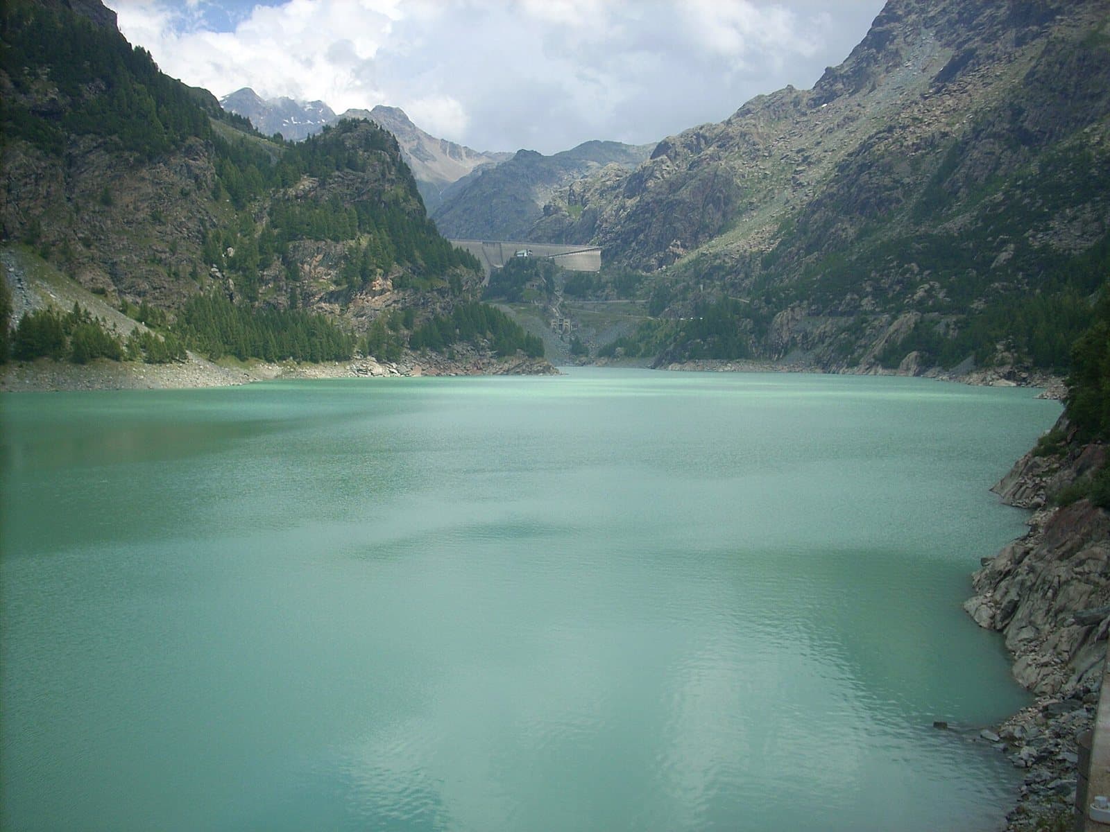
Campo Moro Reservoir
A green-turquoise reservoir at more than 1,900 metres, between two dams and the Bernina peaks, with the Zoia and Poschiavino huts a few steps away.
Lake
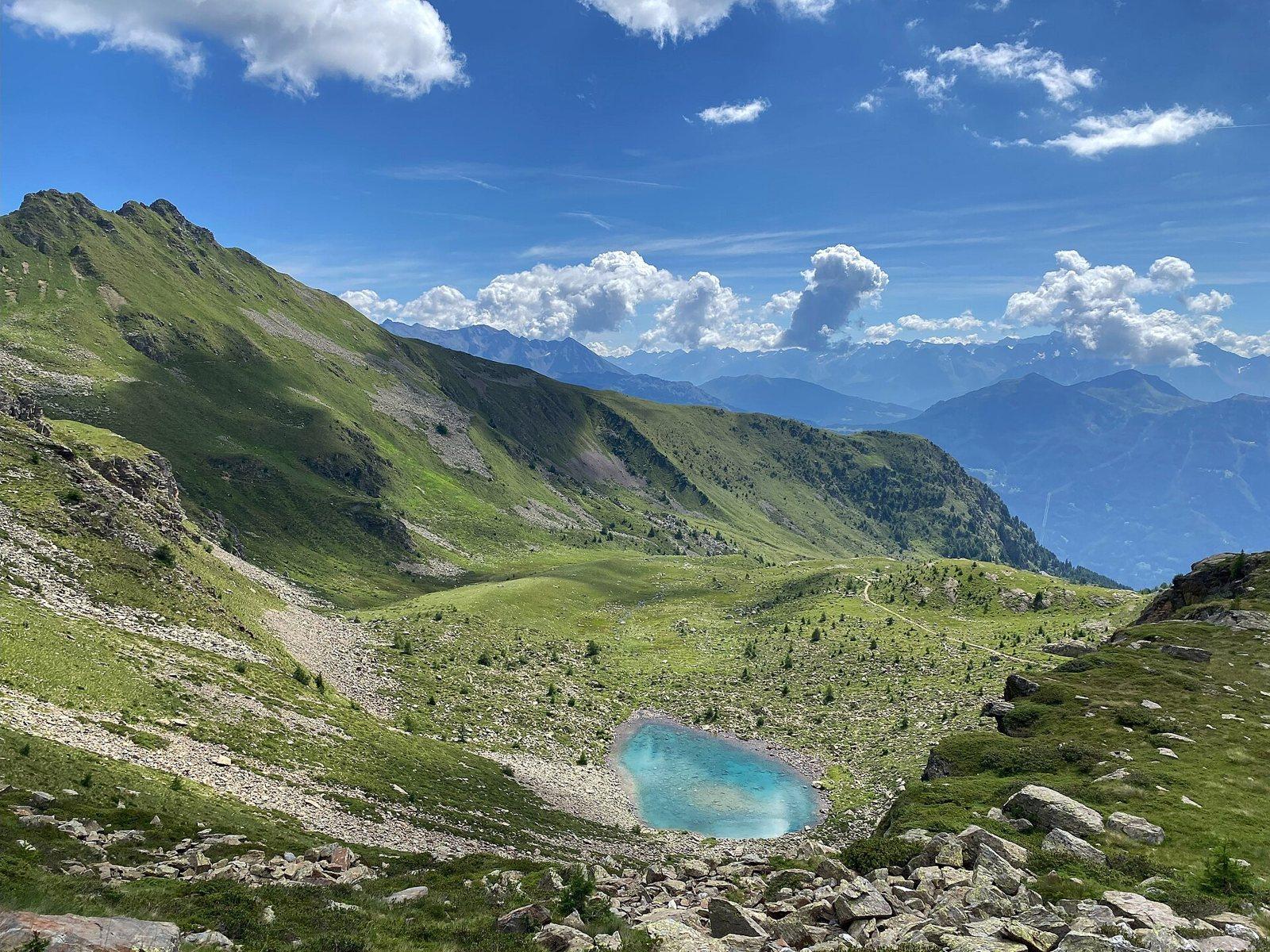
Pian Fusino Pond
A small turquoise mirror at about 2,260 metres, along the military mule track past the Schiazzera hut, in a green hollow with a view over the Valtellina.
Lake
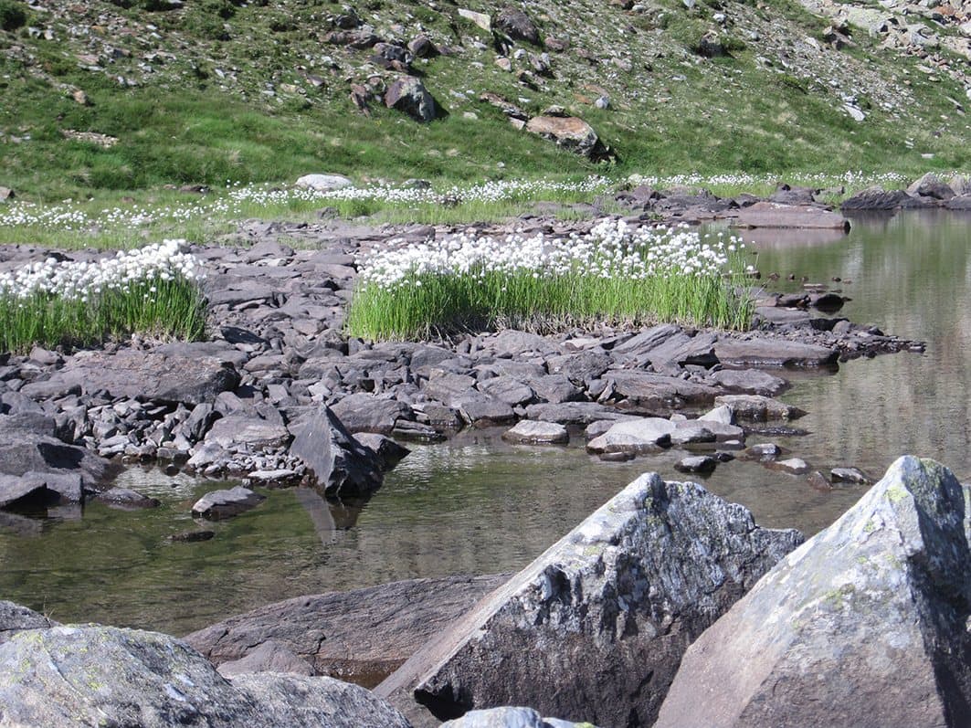
Schiazzera Lakes
Three alpine lakes at about 2,390 metres, in the upper Val Saiento, below Monte Masuccio, reached by an easy hike suitable for the whole family.
Lake
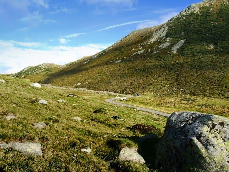
Seroti Lakes
A hollow of lakes, pastures and rocks in the Val Bighera, behind the Mortirolo Pass, with an easy loop on the plateau.
Lake
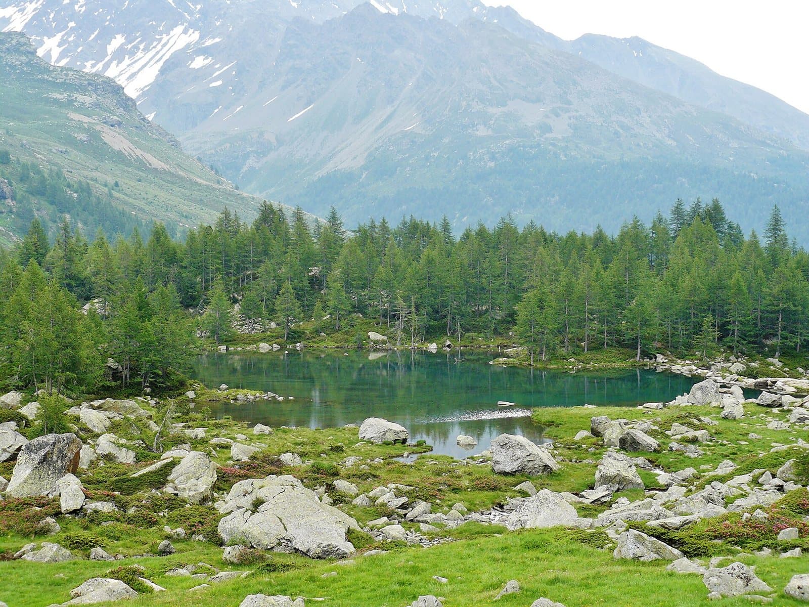
Lake Acque Sparse
A small emerald mirror in a spruce wood of the Val Verva, an hour from Eita, reflecting the peaks of the Sasso Maurigno and Sasso Calosso.
Lake
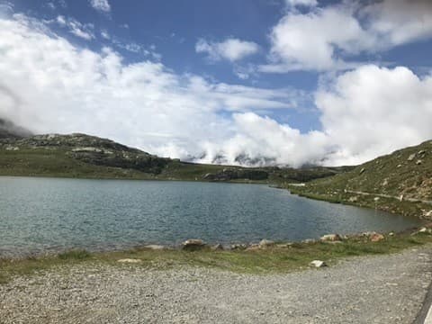
Lake Bianco (Passo Gavia)
The pearl on the roof of the Gavia: a natural lake above 2,600 metres, between turquoise and blue, at the foot of the Corno dei Tre Signori, in the heart of the Stelvio National Park.
Lake
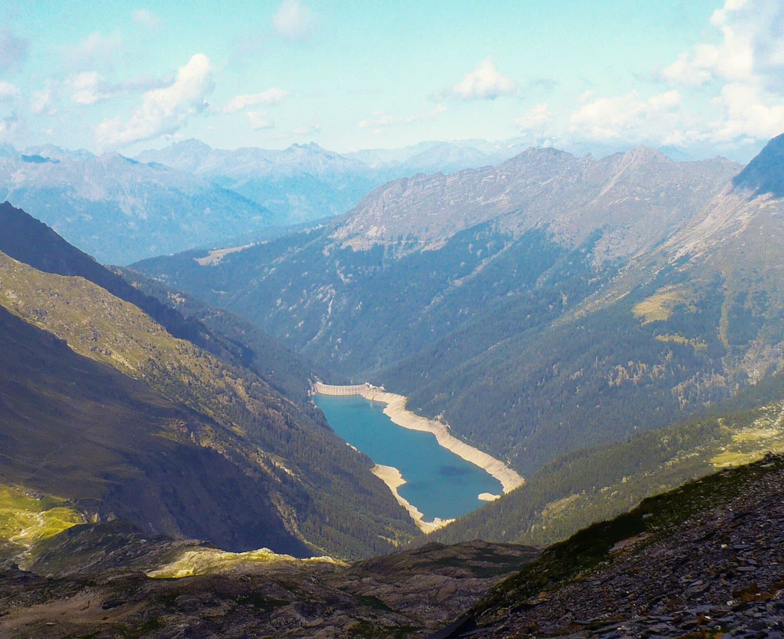
Lake Belviso
The largest lake in the Orobic Alps: a six-kilometre turquoise ribbon in the heart of the Val Belviso, with an easy walk for everyone along the gnomes' path.
Lake
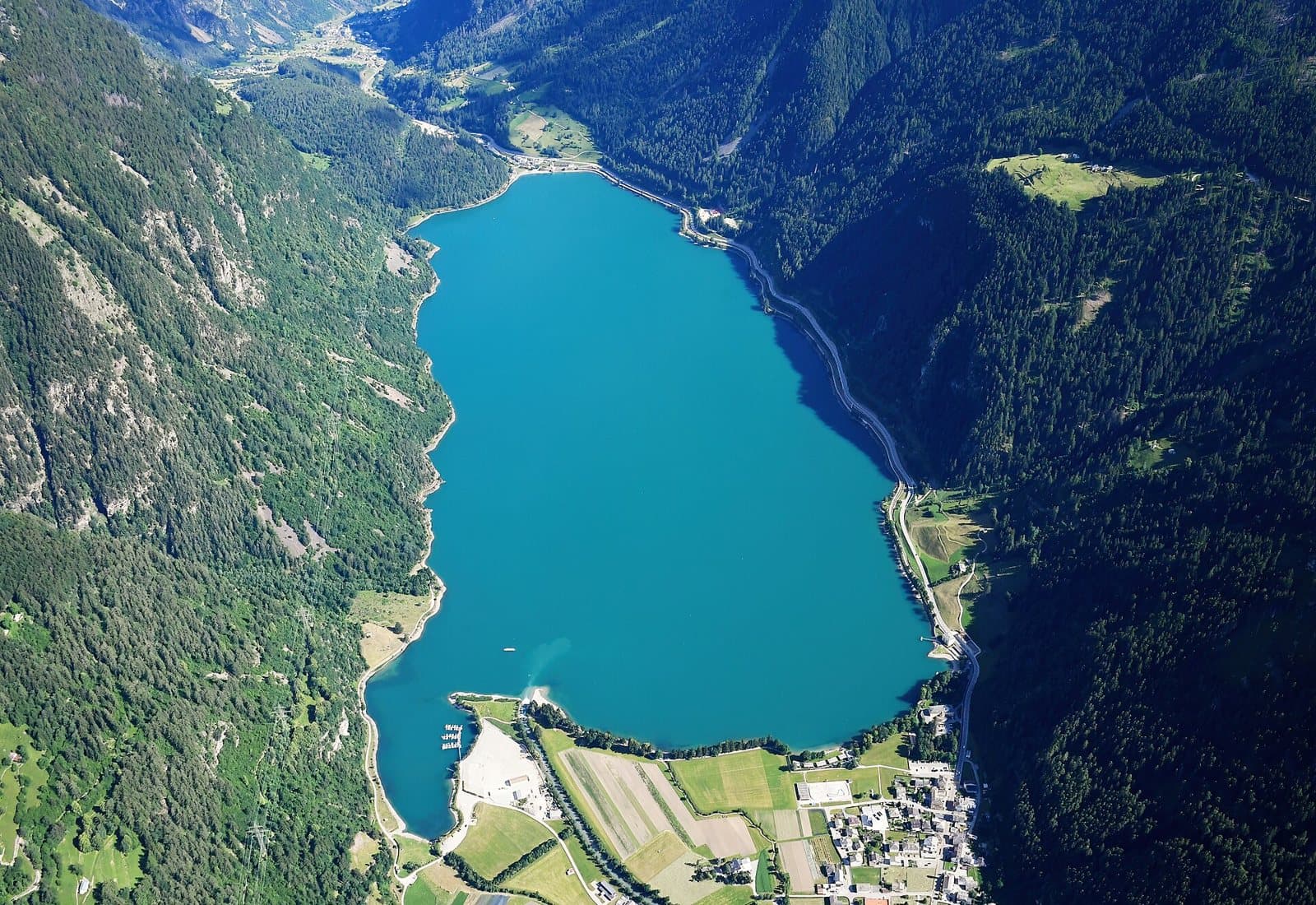
Lake Poschiavo
A few minutes from the border, a great mirror of turquoise water at 962 metres among larches and the peaks of the Bernina, with an easy, scenic walk for the whole family.
Lake
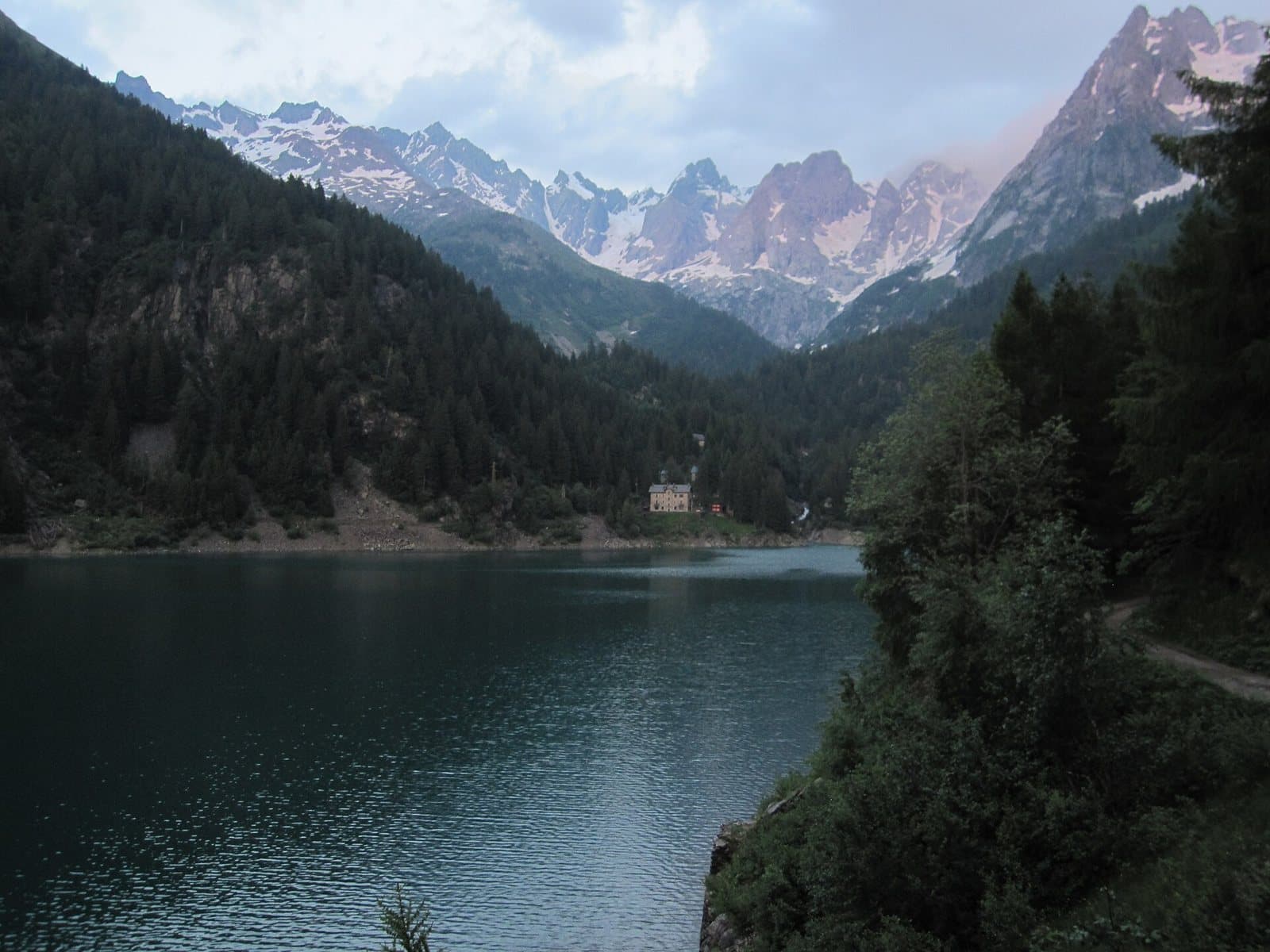
Lake Scais
A turquoise reservoir at 1,494 metres, enclosed by woods and rock walls in the Val Caronno, with an easy loop around the lake and the gateway to the Mambretti hut.
Lake Lagazzuolo
The "pearl" of the Valmalenco: a natural lake of intense turquoise at about 2,000 metres, among conifers and high peaks, reached from San Giuseppe in an hour and a half.
Lake
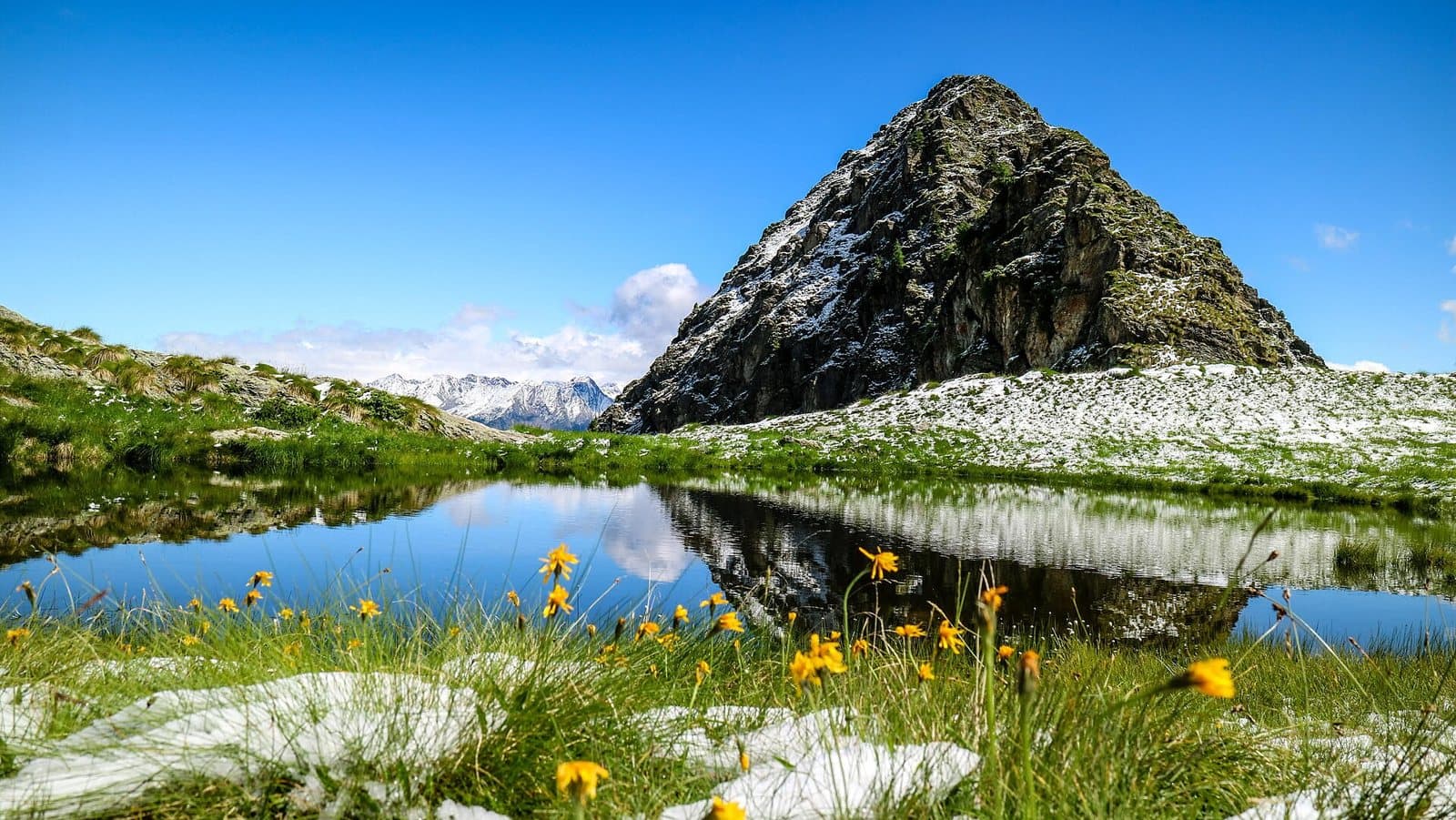
Lake Palabione
Two small lakes at about 2,100 metres above Aprica, with the cross of Monte Filone and a 360-degree view of the Orobie, the Rhaetian Alps and the Adamello.
Lake
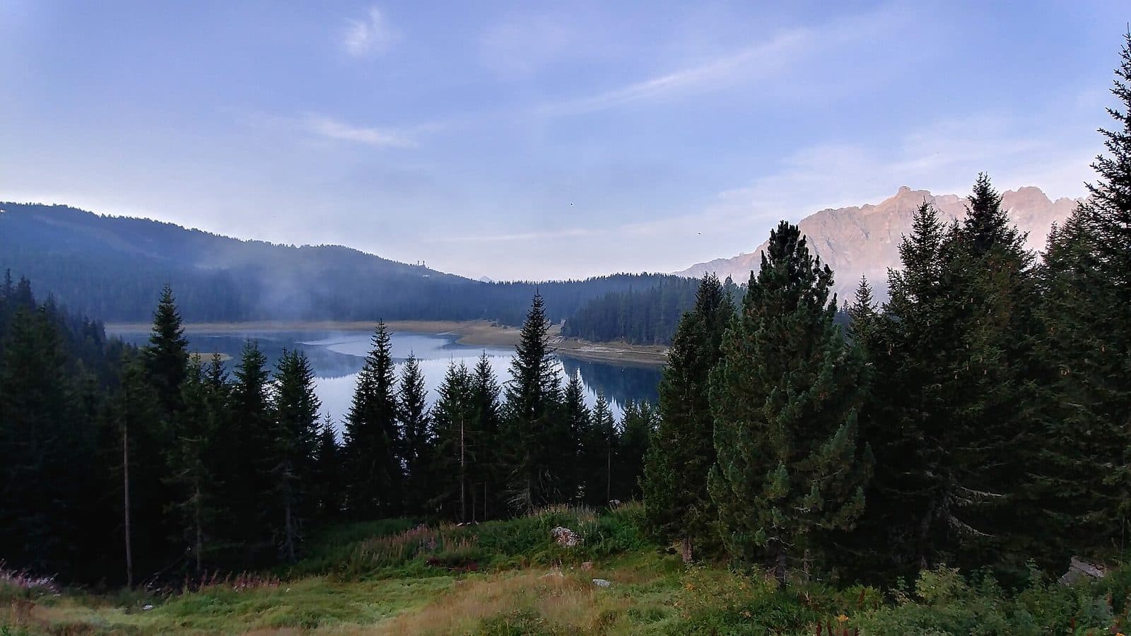
Lake Palù
A lake at 1,925 metres on a plateau of pine woods above Chiesa in Valmalenco, among the largest in the valley, reached by a half-hour walk even in winter.
Lake
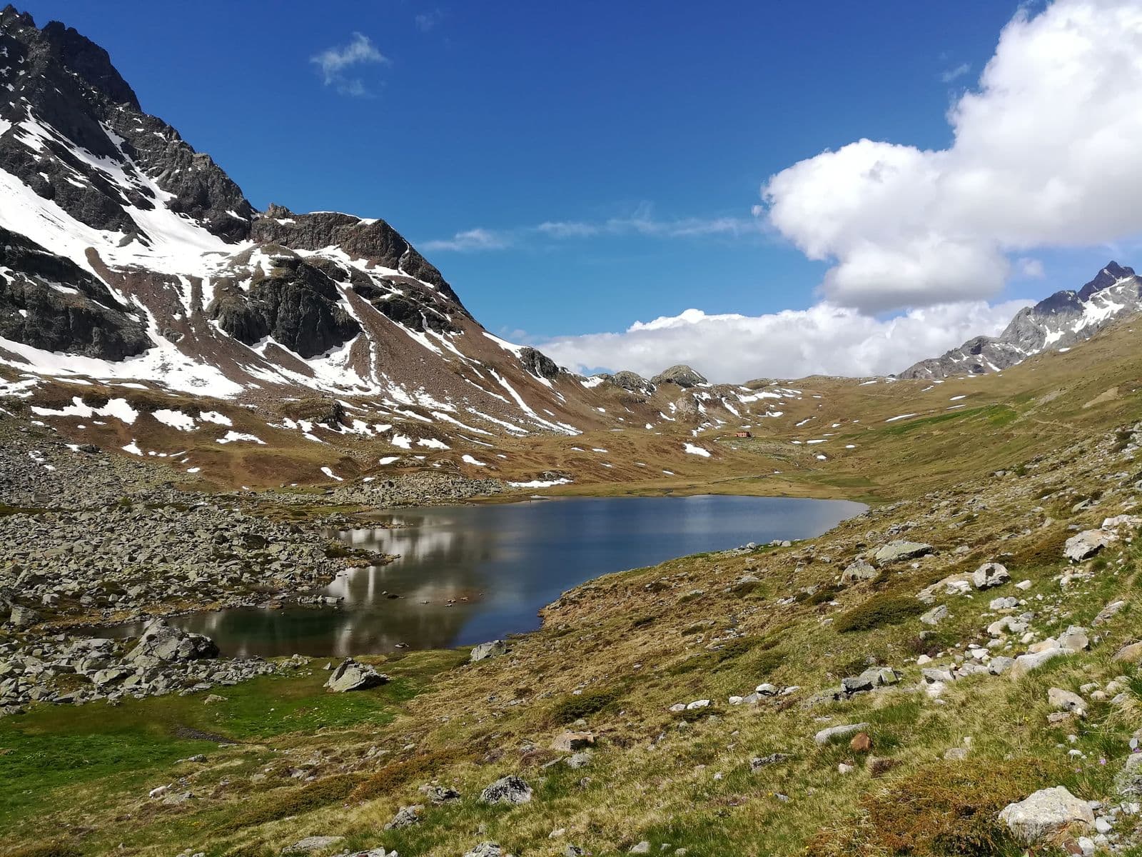
Lake Viola (Lago di Val Viola)
A glacial lake at about 2,300 metres, dammed by a moraine, at the foot of the Val Viola Pass: an almost flat walk from Altumeira, with the Piazzi glaciers in front.
Nature and Landscape
Valleys, mountains, lakes and nature reserves of Valtellina.
Trekking route
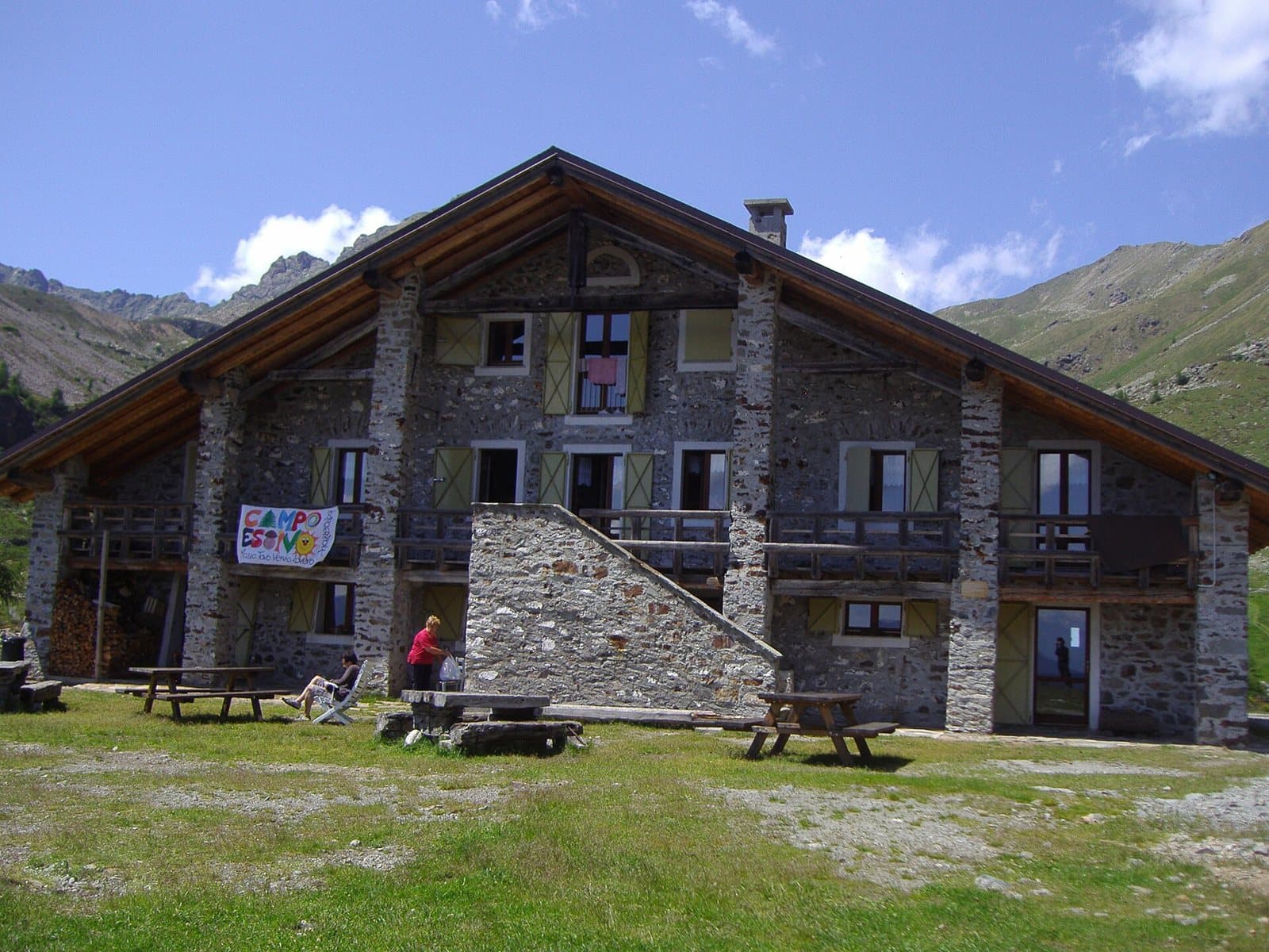
Baruffini-Rifugio Schiazzera loop
A technical, panoramic route for those with good athletic preparation: from Baruffini to the Rifugio Schiazzera on Monte Masuccio, as a day trip or with an overnight stay at the hut.
Road route
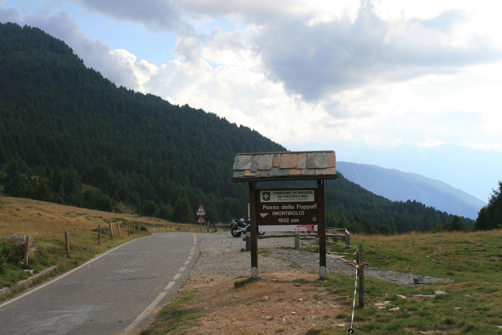
Tirano-Aprica-Mortirolo loop
A 66-kilometre loop from Tirano, through Aprica, the Trivigno Pass and the Mortirolo: about 1,870 metres of ascent, for the fit.
Trekking route
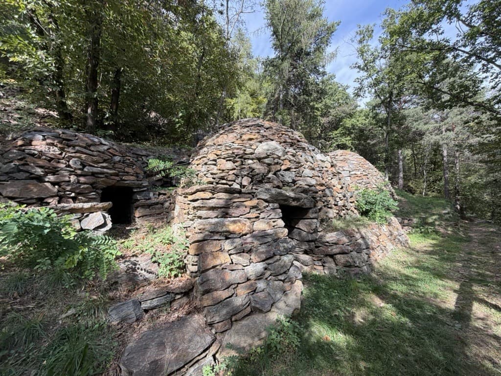
Tirano-Roncaiola-Baruffini-Baitelli loop
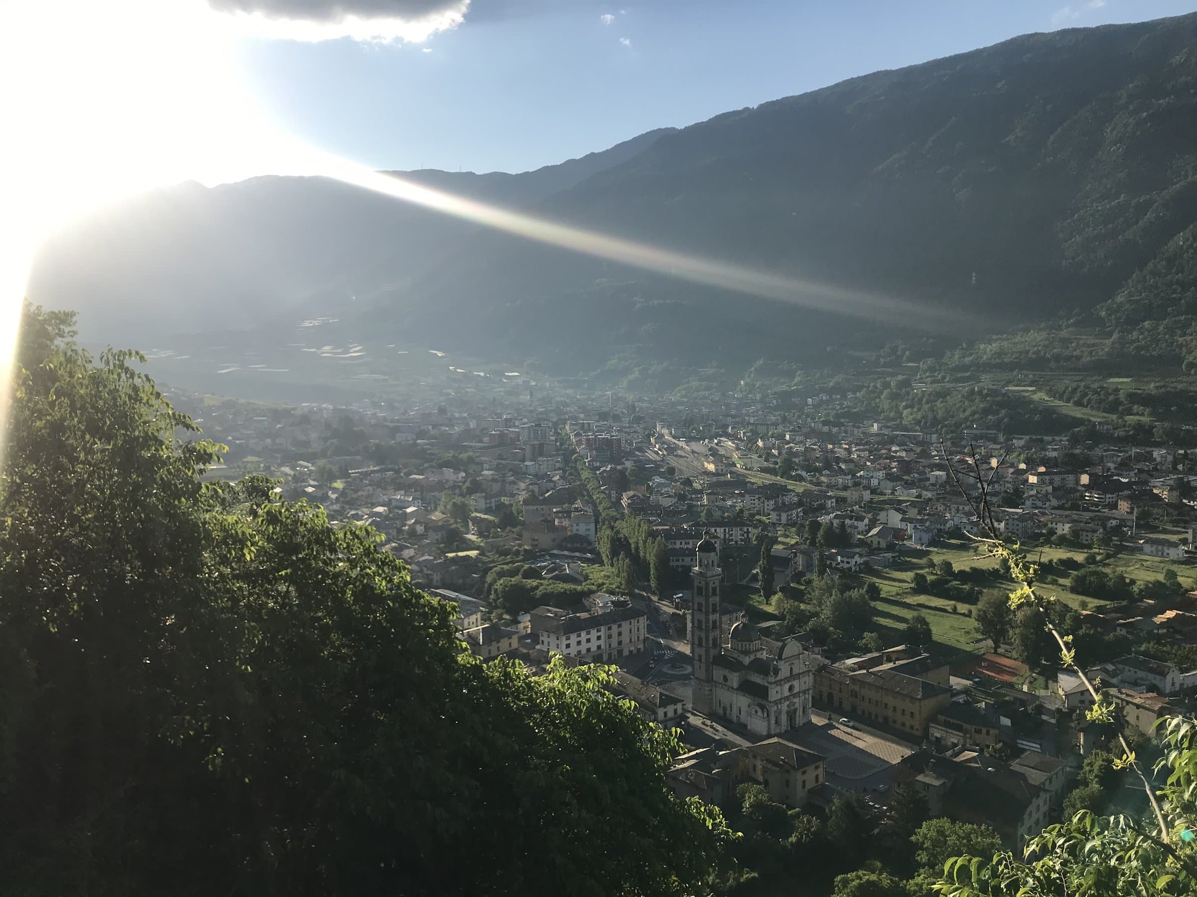
An 11-kilometre loop for fit hikers: the historic mule track among the terraces, the Bread Path from Roncaiola to Baruffini, the Valtellina baitelli and a return along the hillside.
Road route
Tirano-Grosio loop
A 34-kilometre loop from Tirano to Grosio, along the Sentiero Valtellina and through the historic villages of the valley: perfect also as a workout.
Road route
Tirano-Grosio-Bormio loop
An 83-kilometre loop from Tirano, through Grosio and Bormio: about 980 metres of ascent, almost all on asphalt and mostly on a cycle path.
Trekking route
Tirano-Lake of Lovero loop
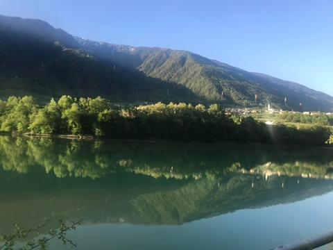
A flat route suitable for families: 10 kilometres from Tirano to the Lake of Lovero along the Sentiero Valtellina, returning also on the dirt path on the other side of the Adda.
Trekking route
Tirano-Lughina-Wine Path loop
A technical route from Tirano to Lughina via Switzerland, returning via Novaglia and the Wine Path: the Val Poschiavo on one side, the Valtellina on the other.
Trekking route
Tirano-Novaglia-Lughina loop
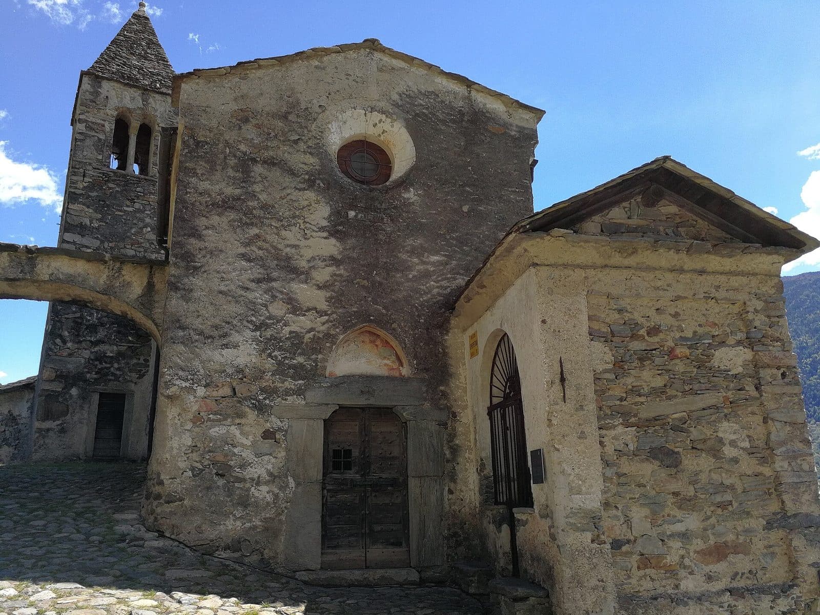
From Tirano to Lughina, on the border between Italy and Switzerland, via Santa Perpetua and Novaglia: woodland paths, mountain roads and the old border fortifications.
Trekking route
Tirano-Roncaiola-Baruffini loop
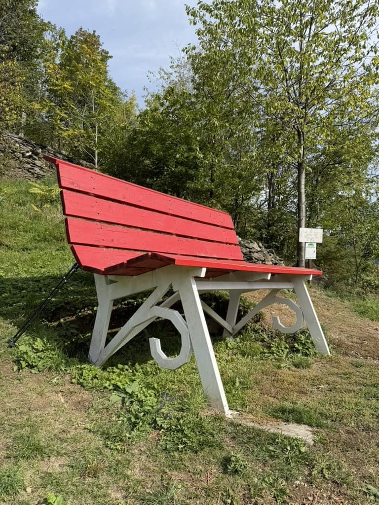
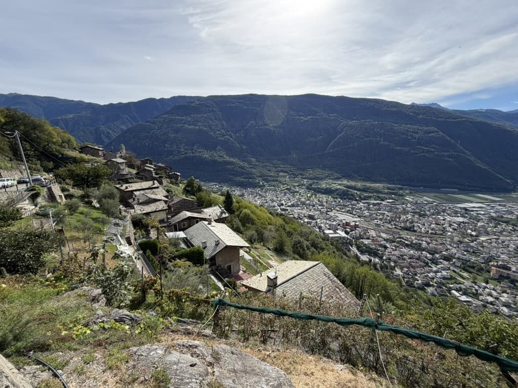
A soft 12-kilometre loop on the historic paths above Tirano, through the villages of Roncaiola and Baruffini and the giant bench: suitable for families, with a pinch of fitness.
Trekking route
Tirano-Roncaiola-Nasen loop
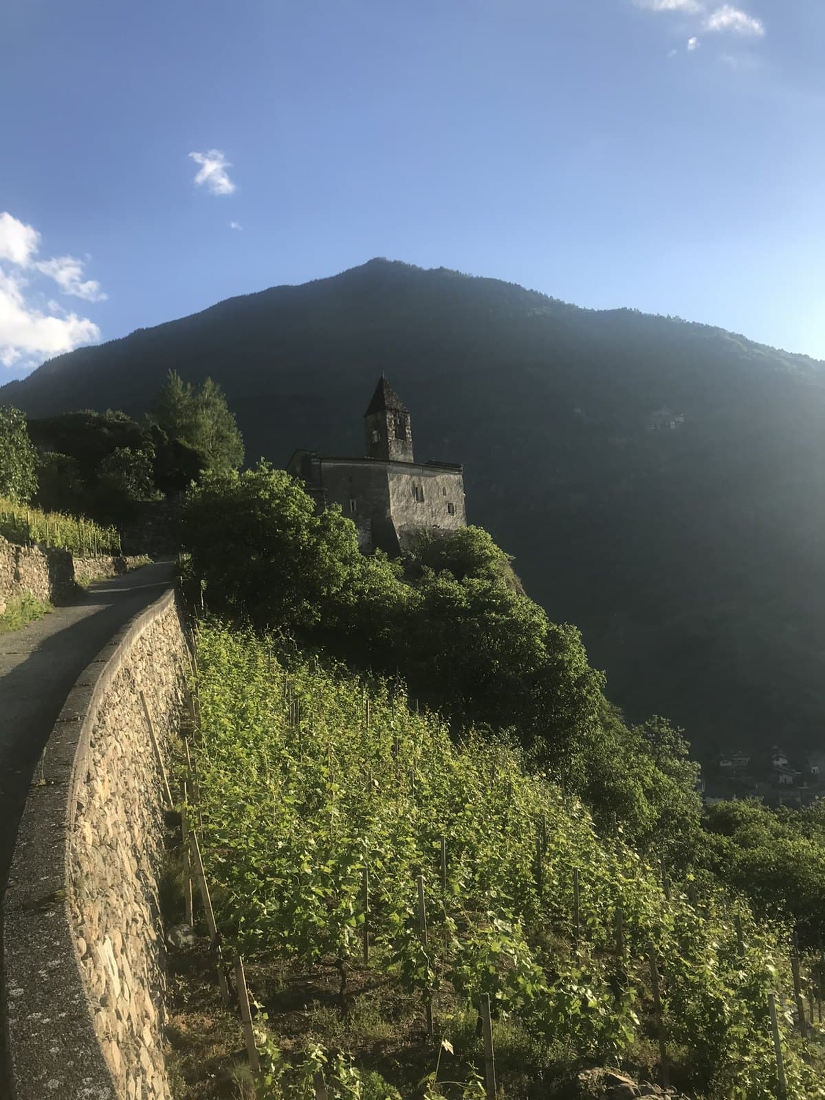
A medium-difficulty 8-kilometre path: the climb to the terraces north-east of Tirano, an old mule track to Roncaiola and the return via Nasen and the road to Ciocca.
Trekking route
Tirano-Santa Perpetua-Novaglia loop
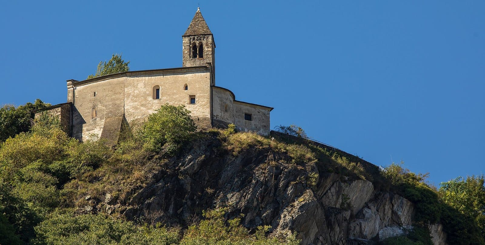
A 7-kilometre loop of medium difficulty, with good preparation needed for the first climb: from Santa Perpetua to Novaglia through the woods, returning via Villa di Tirano. Not suitable for families.
Trekking route
Tirano-Villa di Tirano loop: the wine path
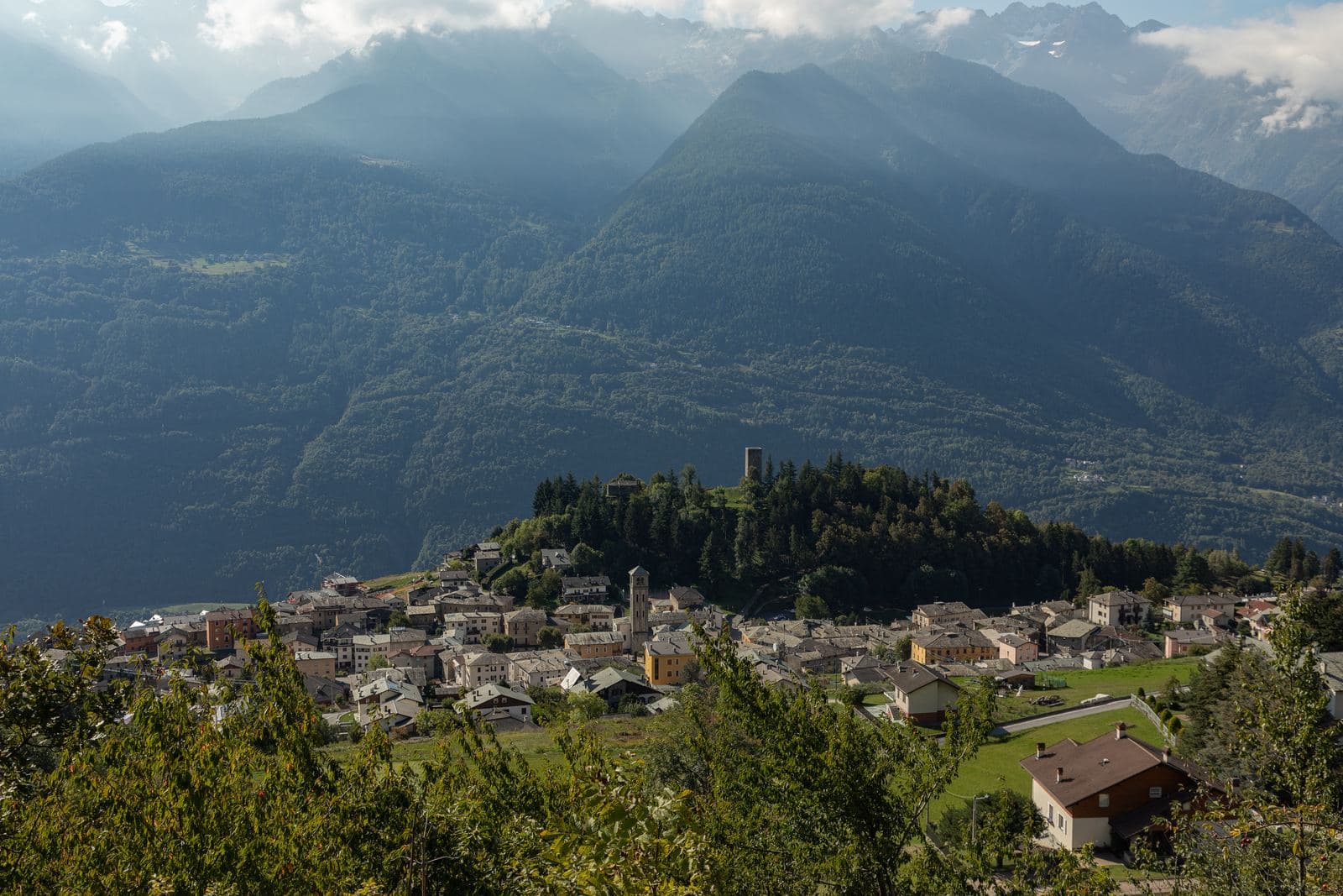
An easy path, suitable for families: 9 kilometres from Santa Perpetua along the wine path among the terraces, returning through the apple orchards of the Villa di Tirano plain.
Road route
Tirano-Teglio-Chiuro loop
A 54-kilometre loop from Tirano, through Teglio and Chiuro: about 920 metres of ascent, almost all on asphalt, with a stretch on a cycle path.
Trekking route
Tirano-Villa di Tirano loop
A flat route suitable for families: 10 kilometres from Tirano to Villa di Tirano along the Sentiero Valtellina and among the apple orchards.
MTB route
Aprica – Padrio – Piscè
A long loop of about 27 kilometres above Aprica, among woods and pastures, with the Padrio section designed precisely for mountain biking: demanding climbs and technical descents.
Lake
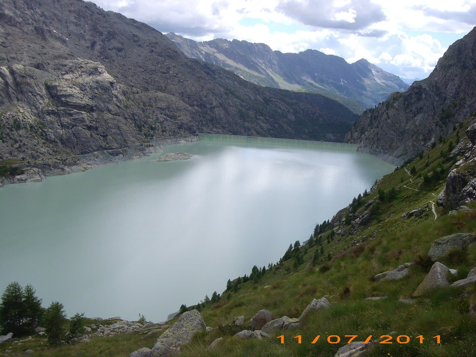
Alpe Gera Reservoir
One of the largest artificial lakes in Italy: a gigantic reservoir above 2,000 metres, below the Fellaria glacier and dominated by a dam 174 metres high.
Lake
Campo Moro Reservoir
A green-turquoise reservoir at more than 1,900 metres, between two dams and the Bernina peaks, with the Zoia and Poschiavino huts a few steps away.
Panoramic point
Balcony of Valtellina
A sunlit terrace above the valley, a medieval tower, a Renaissance palace and the dish that travelled the world: pizzoccheri, guarded by an Academy.
Bei Laghetti
The "Maldives of Bormio": small lakes of vivid colours below the Bocca di Profa, at about 2,700 metres, on the Val Sobretta side.
MTB route
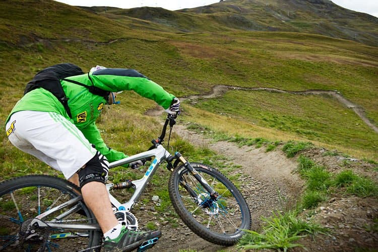
Mottolino Bike Park and the Livigno flow trails
Livigno's great mountain-bike park: flow trails such as Coast to Coast and H-Dream, Blueberry Line and more technical tracks, with the lifts that carry bikes up. Fun at altitude.
Mountain hut
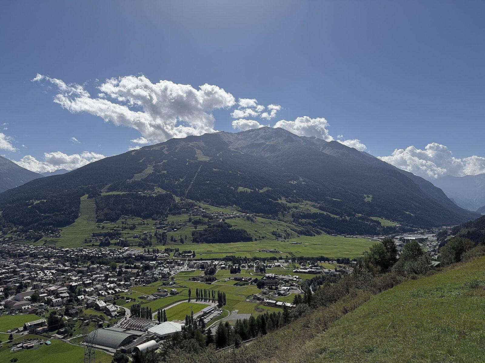
Chalet dei Rododendri Mountain Lodge
On Monte Vallecetta, at 2,160 metres, a natural terrace over the pistes of the Alta Valtellina and the peaks of Bormio.
MTB route
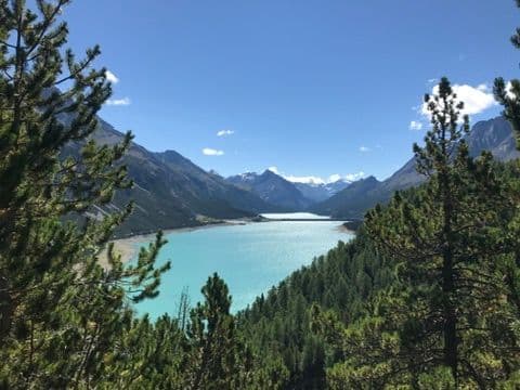
Ciclovia dell'Energia (Energy Cycleway)
Three routes among the power stations, canals and dams of the Upper Valtellina: the Green from Grosotto to the Torri di Fraele, the Red to Cancano, the Orange for the fittest. Riding where water becomes light.
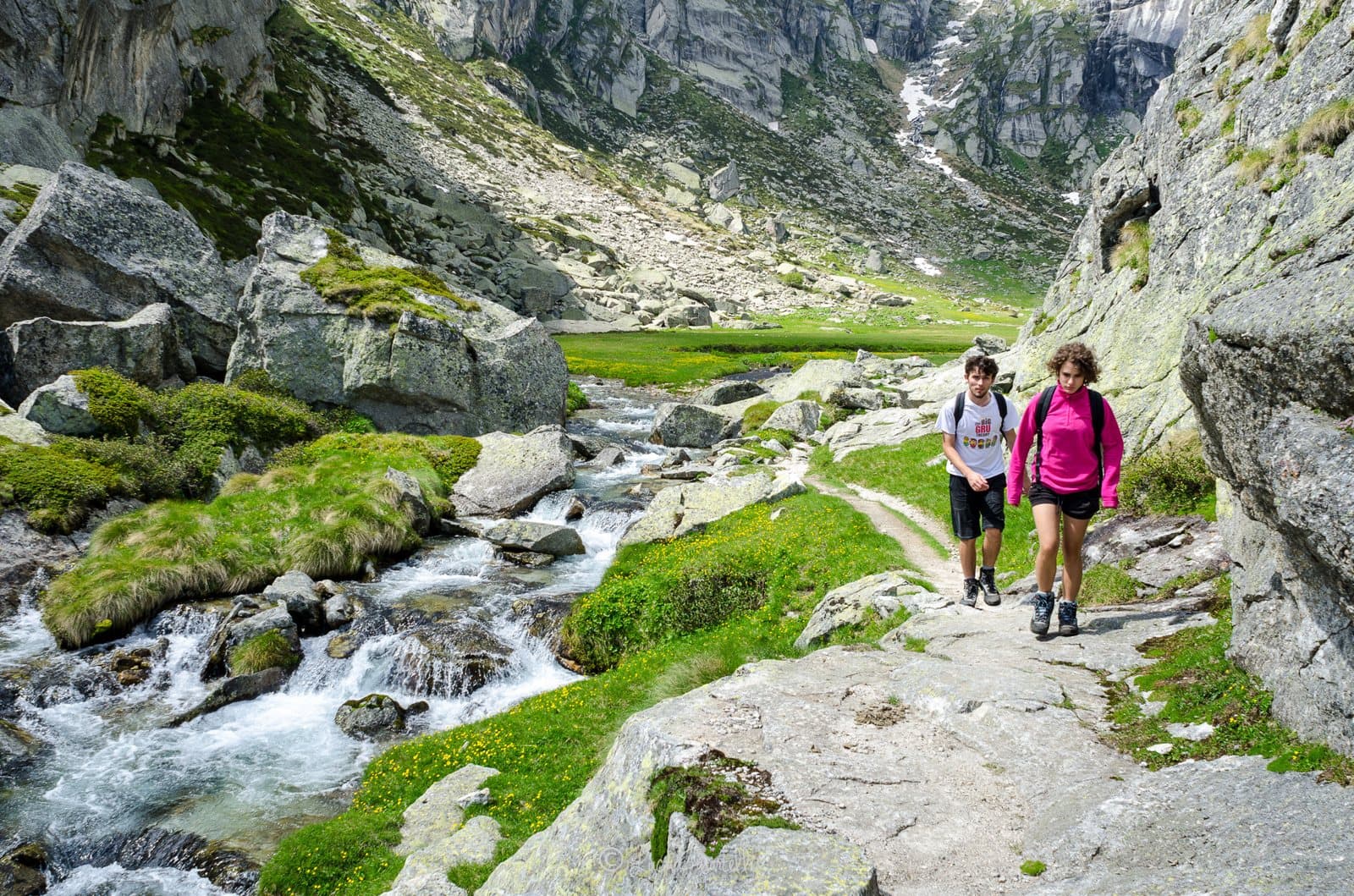
Mountain
Cima di Castello
The second summit of the Masino group after the Disgrazia: a great snowy dome of over 3,380 metres, less famous than the Badile but no less beautiful, at the head of the secluded Val di Zocca.
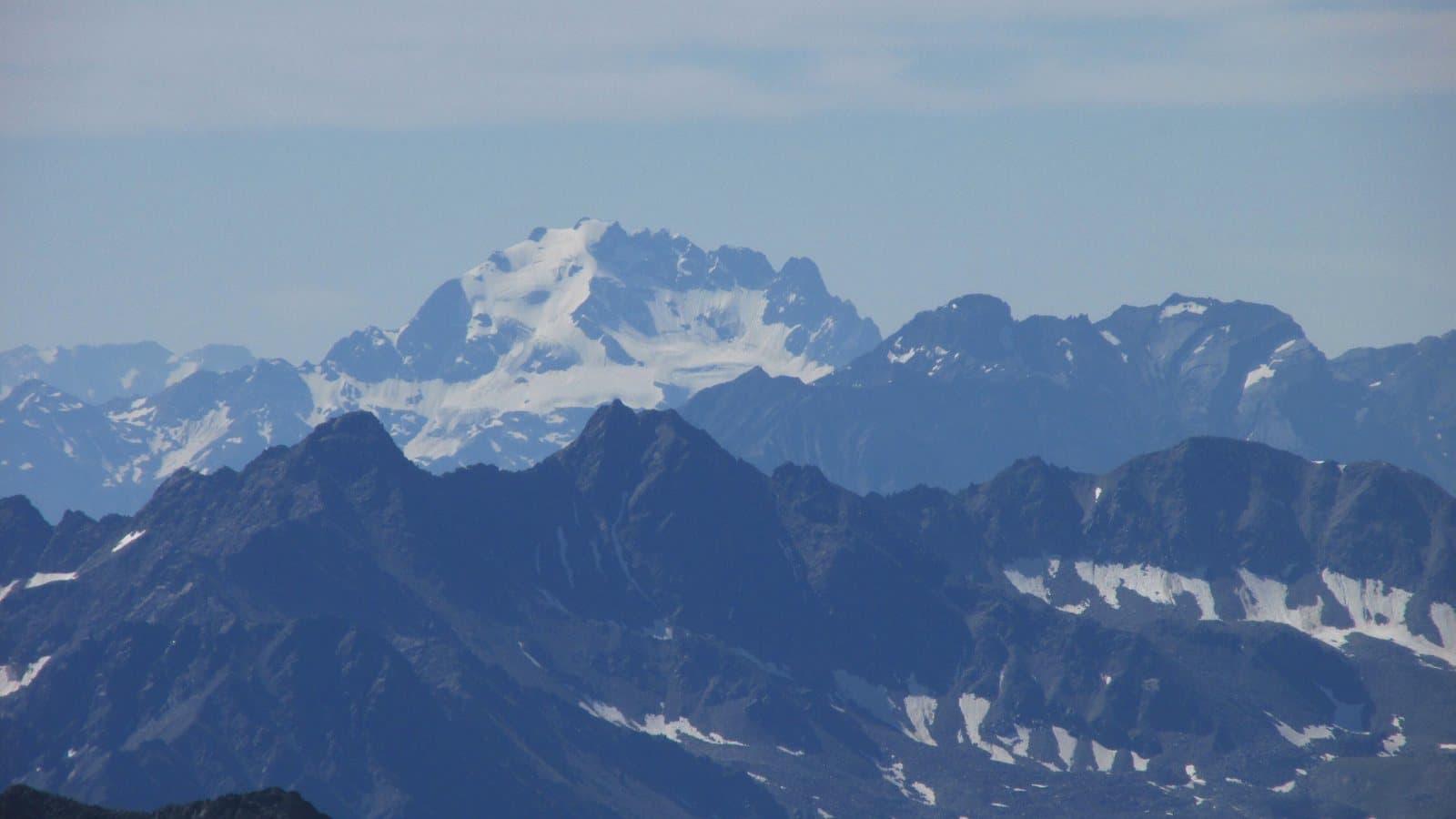
Mountain
Cima Piazzi
3,439 metres above Valdidentro: the highest summit of the Livigno Alps, with a name that carries a family of herdsmen, a bivouac dedicated to a friend and an ice wall that lights up at sunset.
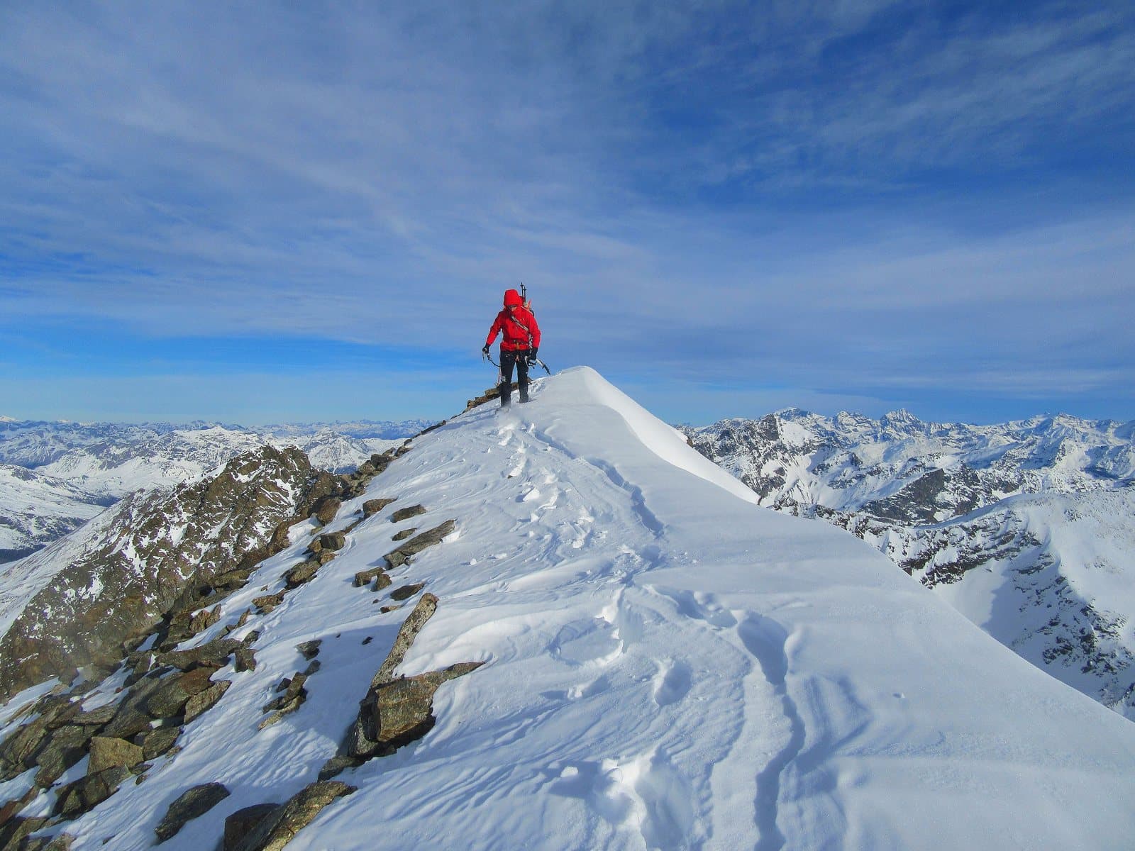
Mountain
Cima Viola
3,374 metres between the Val Grosina and the Val Viola: once the «Western Summit of Lago Spalmo», today one of the most beautiful summits above the Viola hut, among lakes, pastures and the silence of the high valley.
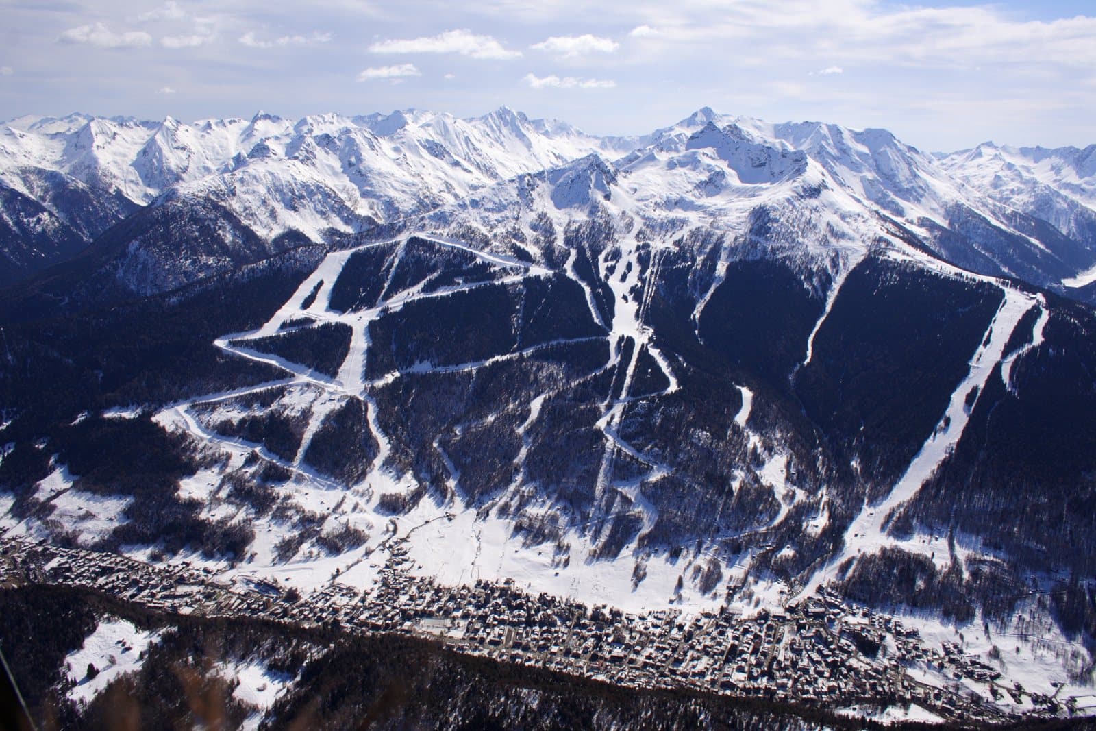
Ski area
Aprica
About 50 km of pistes in four sectors, with the floodlit Baradello Superpanoramica in the evening: the ski area closest to Milan.
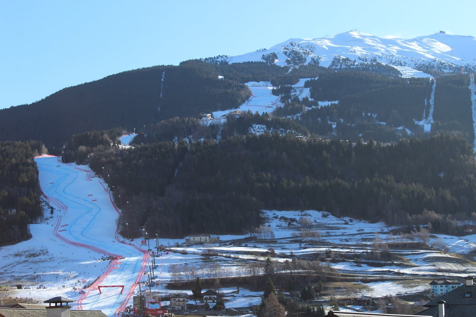
Ski area
Bormio
The Stelvio piste from 3,012 m, 15 lifts and a pass of about 110 km shared with Santa Caterina and Cima Piazzi.
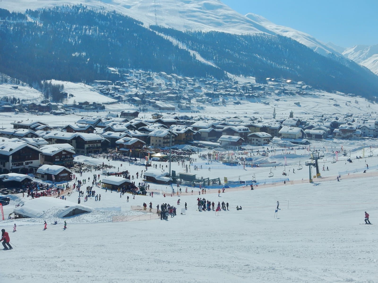
Ski area
Livigno
At 1,800 m, about 115 km of pistes between Carosello 3000 and Mottolino, with snow into spring and a long cross-country tradition.
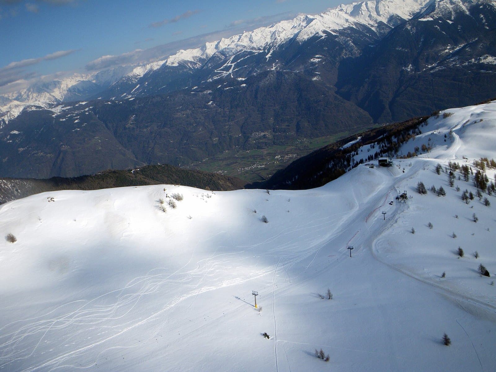
Ski area
Teglio – Prato Valentino
At 1,700 metres above Teglio, the snow of meadows and woods: snowshoeing, walks and an unhurried winter.
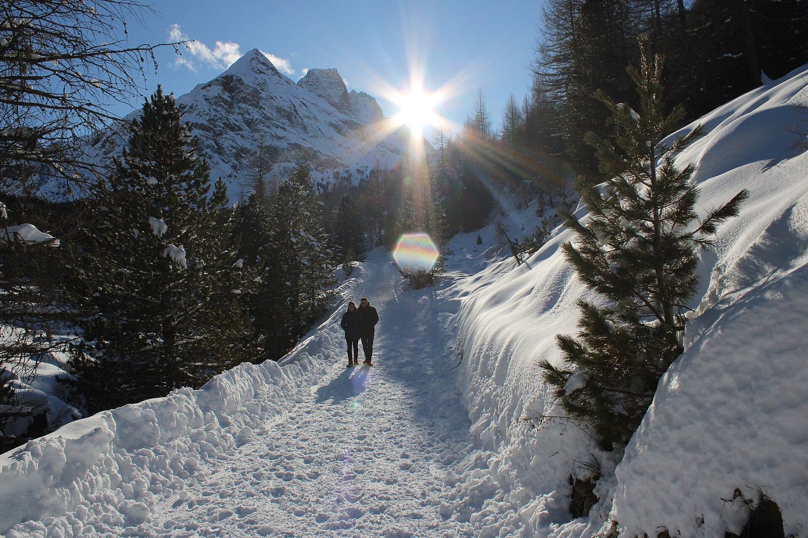
Ski area
Valdidentro – Cima Piazzi e San Colombano
From Isolaccia and Oga, quiet pistes between 1,345 and 2,550 m, the Pista Viola for cross-country and Val Viola for snowshoeing.
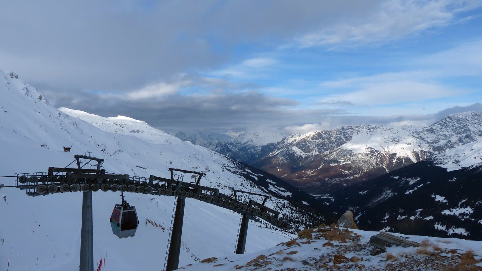
Ski area
Valfurva – Santa Caterina
About 35 km of pistes up to 2,700 m beneath the Ortles-Cevedale, with cross-country and ski touring in the Forni Valley.
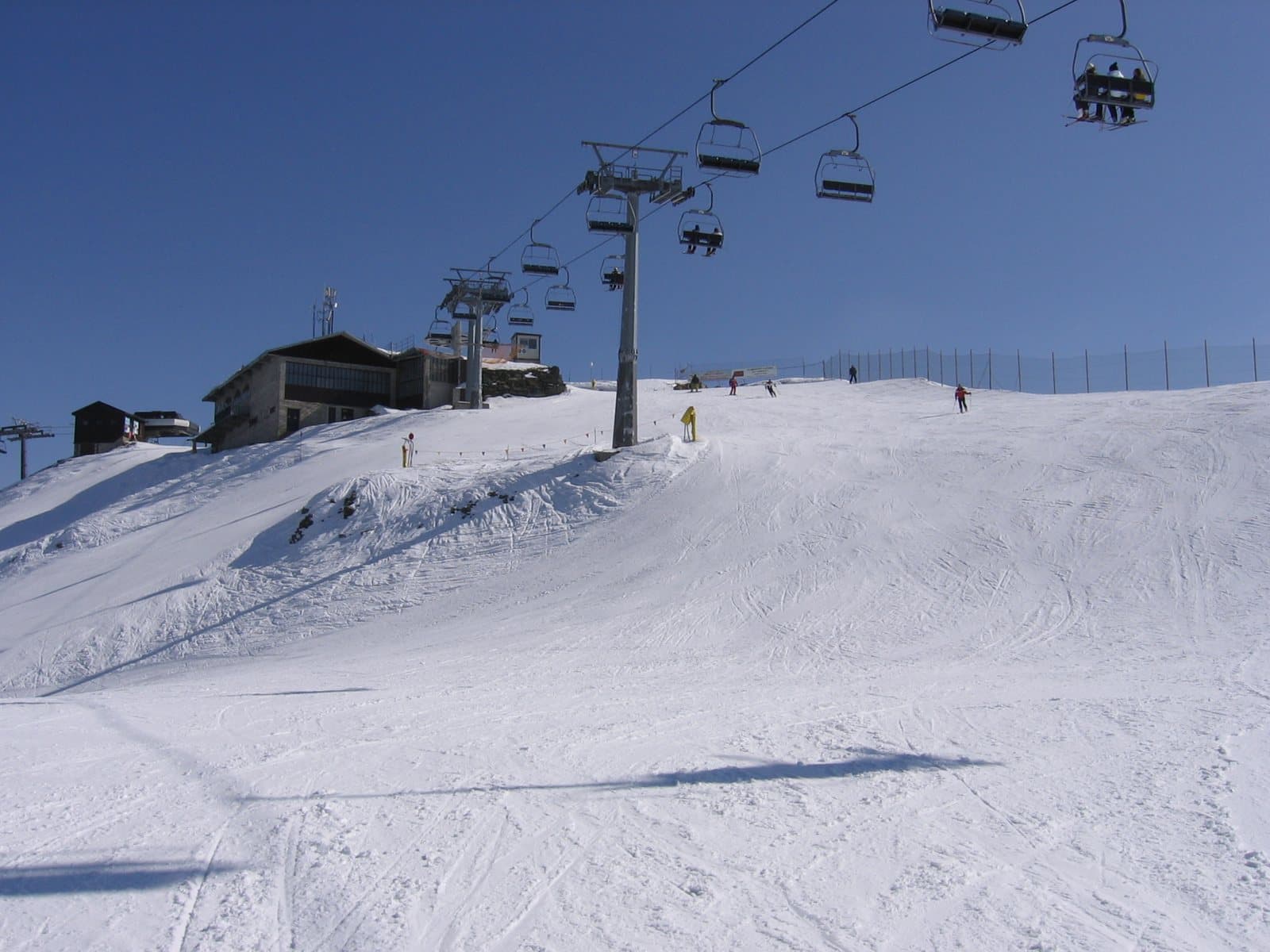
Ski area
Valmalenco – Alpe Palù
From the Snow Eagle gondola to Alpe Palù: over 50 km of pistes, a snowpark and the Bernina as a backdrop.
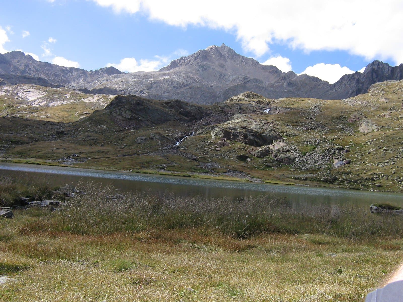
Mountain
Corno dei Tre Signori
Where three states met: Venice, Milan, Trent. 3,360 metres above the Gavia Pass, with the sources of the Oglio and the Noce and a view that in the Middle Ages was a border.
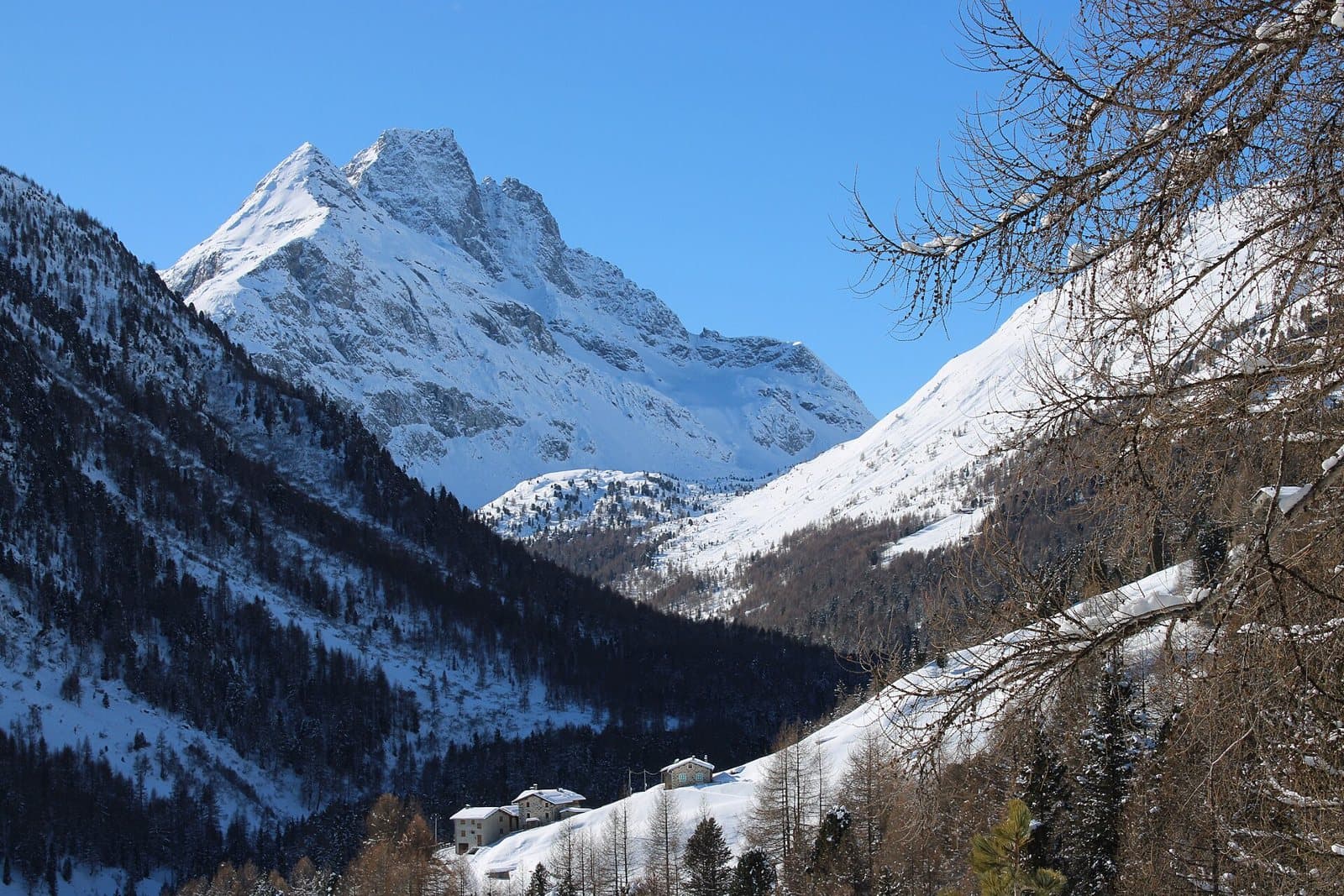
Mountain
Corno di Dosdè
The pyramid of the Val Viola: 3,232 metres of dark rock that dominates the lakes of the Viola hut and mirrors its point in the sunsets of Valdidentro, with a snowfield a step from the path.
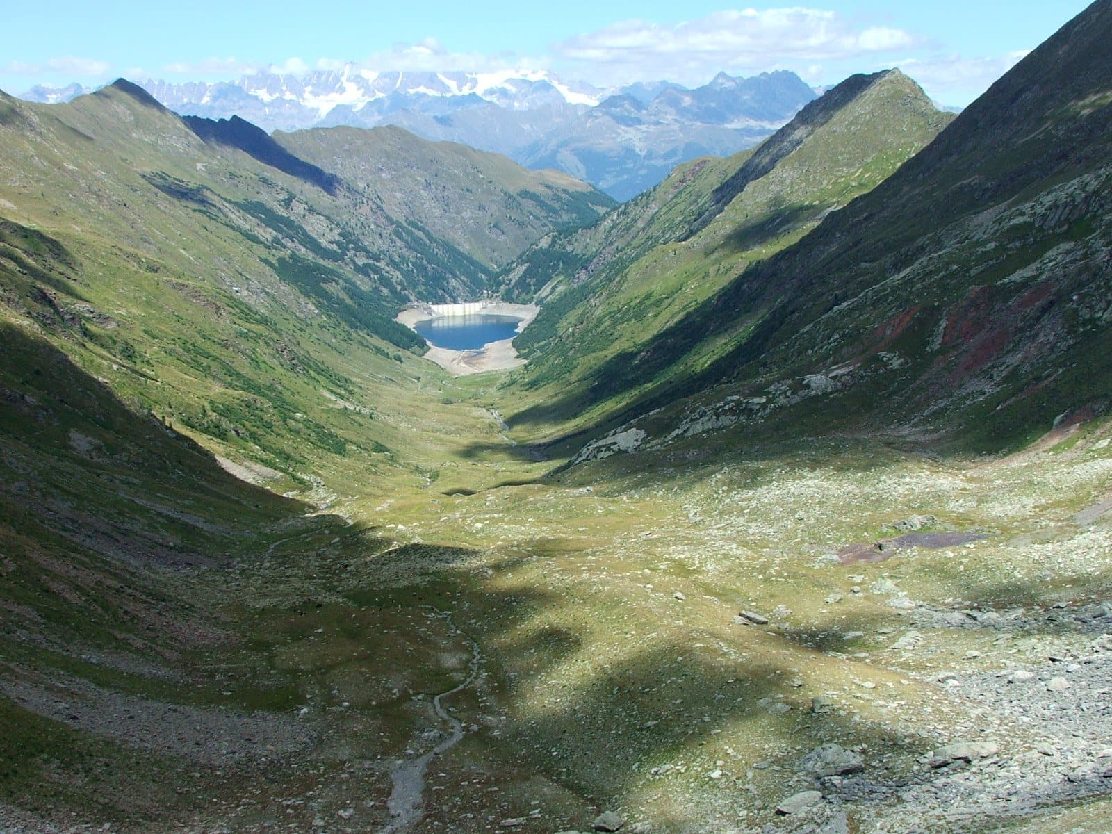
Lake
Lake and dam of Venina
A multiple-arch dam inaugurated in 1926, unique in the world for its time: eight concrete vaults resting on buttresses, in a basin where a glacial lake once lay.
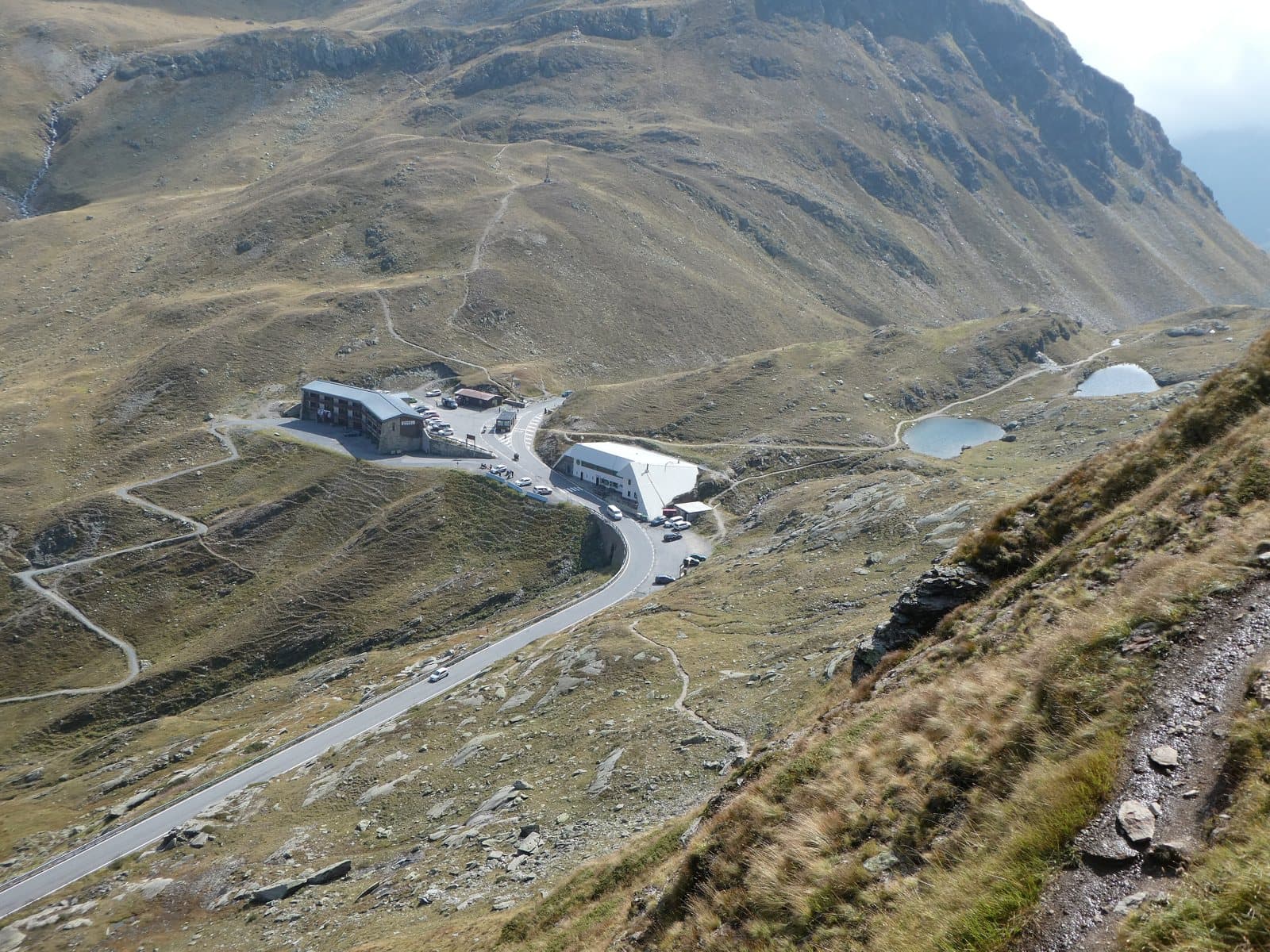
Mountain passes and springs
Forcola di Livigno Pass
2,315 metres, from Poschiavo to Livigno without a single hairpin: the border pass that joins a valley south of the Alps, but Swiss, with a valley north of the Alps, but Italian.
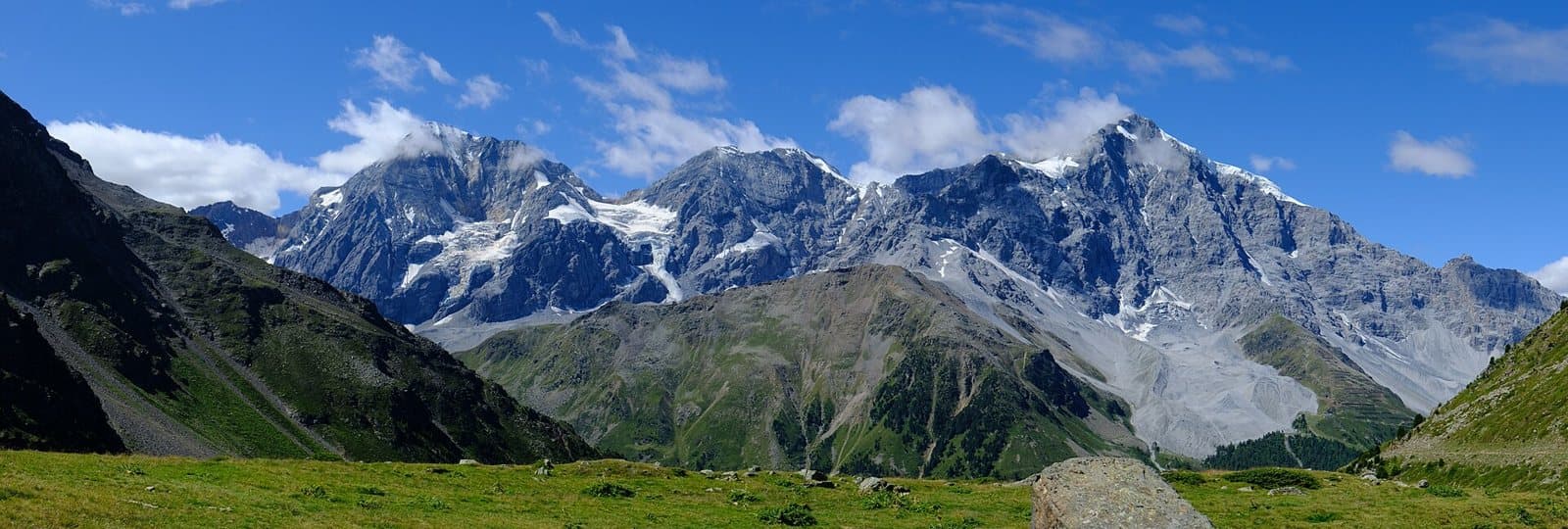
Mountain
Gran Zebrù (Königspitze)
A dolomite pyramid of 3,851 metres with two names and a legend: the hermit king Zebrusius, the «castle of spirits» and the Eagle's Nest of the Alpini. The highest summit in Lombardy of the Ortles-Cevedale group.
Lake
Pian Fusino Pond
A small turquoise mirror at about 2,260 metres, along the military mule track past the Schiazzera hut, in a green hollow with a view over the Valtellina.
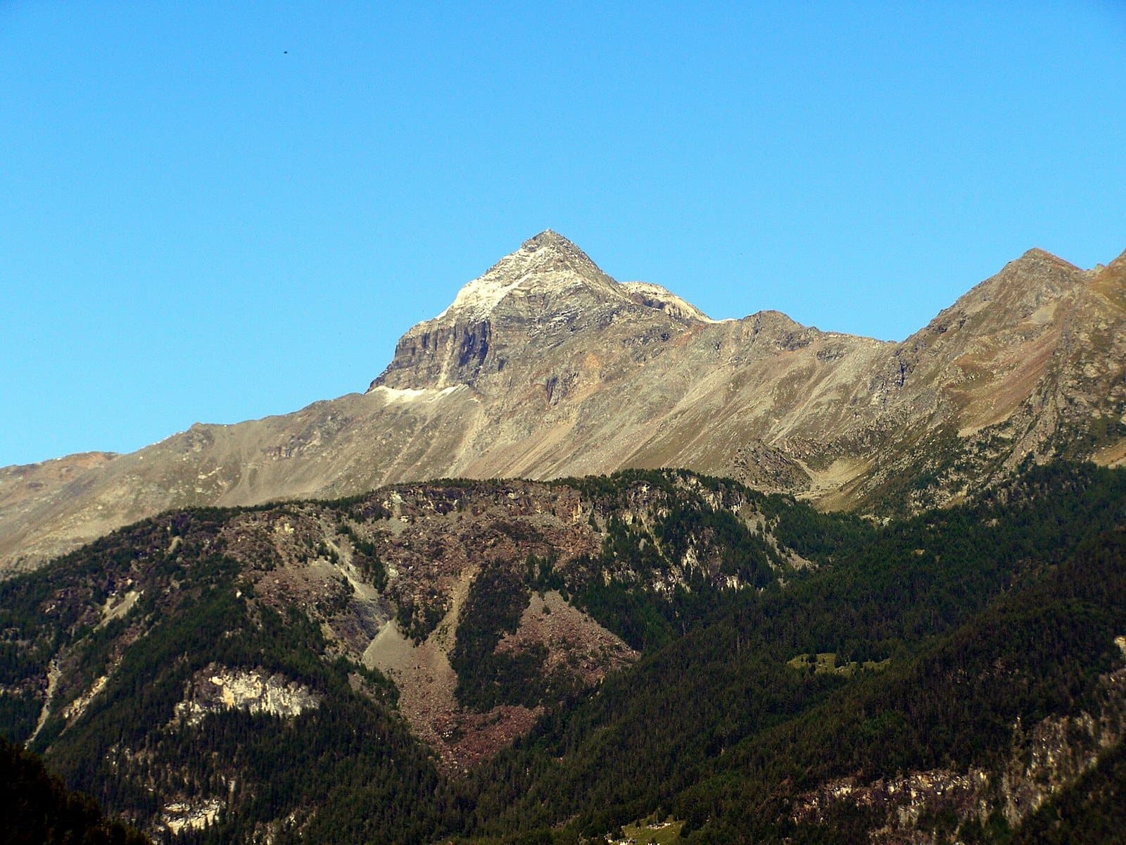
Lake
Campagneda Lakes
Small high-altitude lakes below the Pizzo Scalino, in the hollow of the Campagneda alpine pasture, at about 2,400 metres, on the way to the Passo di Campagneda.
Lake
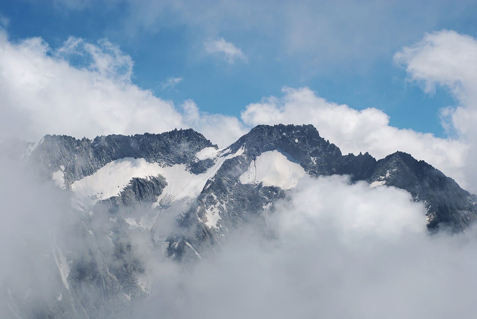
Cancano Lakes
A road of hairpins, two medieval towers and two emerald lakes born where a village once stood: the perfect day in the Upper Valtellina, and the gateway to the Adda springs and Livigno.
Lake
Grom Lakes
Two high-altitude lakes below Monte Seroti, at 2,340 and 2,415 metres, with an easy climb from Malga Salina and a view of the Adamello from the Passo di Valle Andrina.
Lake
Schiazzera Lakes
Three alpine lakes at about 2,390 metres, in the upper Val Saiento, below Monte Masuccio, reached by an easy hike suitable for the whole family.
Lake
Seroti Lakes
A hollow of lakes, pastures and rocks in the Val Bighera, behind the Mortirolo Pass, with an easy loop on the plateau.
Lake
Lake Acque Sparse
A small emerald mirror in a spruce wood of the Val Verva, an hour from Eita, reflecting the peaks of the Sasso Maurigno and Sasso Calosso.
Lake
Lake Bianco (Passo Gavia)
The pearl on the roof of the Gavia: a natural lake above 2,600 metres, between turquoise and blue, at the foot of the Corno dei Tre Signori, in the heart of the Stelvio National Park.
Lake Brodeg
The lowest of the three Profa lakes, round and hidden behind a bump, at about 2,550 metres: its dialect name means "dirty", but the water is green and perfectly clear.
Lake
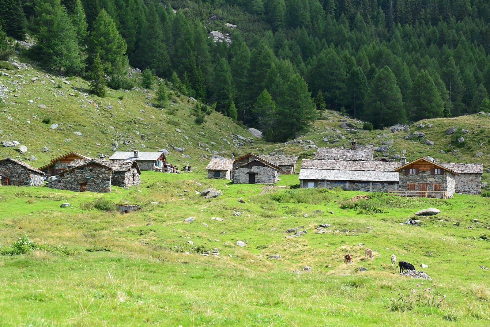
Lake Entova
A small marshy lake among the larches, below the Sassa d'Entova, near the Alpe Entova: a quiet walk from San Giuseppe, among mushrooms and silence.
Lake Tre Mote
The lake of the three islets, at about 2,570 metres below Monte Mala: dark from above, intensely green up close, the first of the Profa lakes.
Lake
Lake Belviso
The largest lake in the Orobic Alps: a six-kilometre turquoise ribbon in the heart of the Val Belviso, with an easy walk for everyone along the gnomes' path.
Lake Forbesana
A small isolated lake above the Val Viola, a goal for excursions off the beaten track and, in winter, a stage of ski mountaineering towards the Pizzo della Valle.
Lake
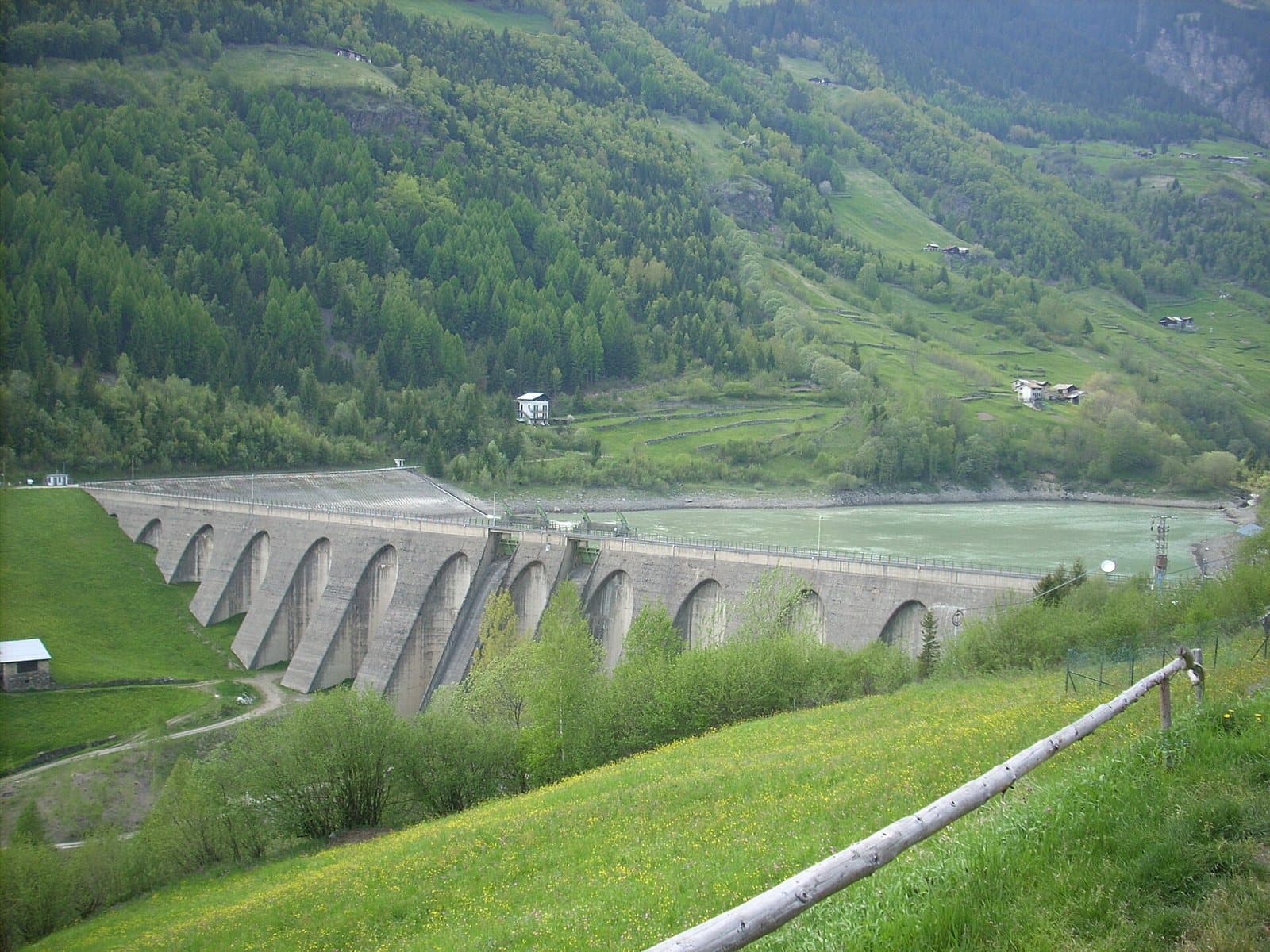
Lake Fusino (Val Grosina)
The small lake at the entrance of the Val Grosina, held back by the Fusino dam, where the road to Eita and the two valleys begins.
Lake
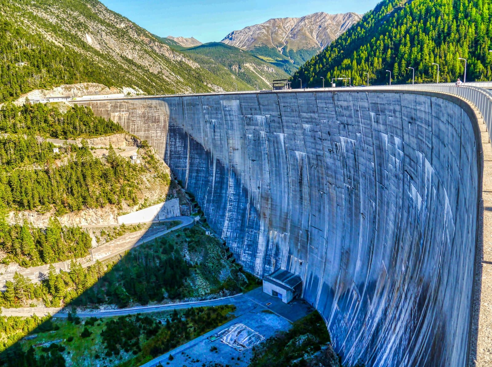
Lake Livigno and the Punt dal Gall dam
An arch dam 130 metres high, built by the Swiss astride the border, and an emerald lake of 164 million cubic metres that carries the name of «Little Tibet».
Lake
Lago di Lovero
A quiet lake little more than an hour's walk from Tirano along the Sentiero Valtellina: born with the dam of 1948, in a valley where in 1807 a landslide from Monte Masuccio had already created a natural one.
Lake
Lake Poschiavo
A few minutes from the border, a great mirror of turquoise water at 962 metres among larches and the peaks of the Bernina, with an easy, scenic walk for the whole family.
Lake
Lake Scais
A turquoise reservoir at 1,494 metres, enclosed by woods and rock walls in the Val Caronno, with an easy loop around the lake and the gateway to the Mambretti hut.
Lake Selva
A small alpine pond among pastures, woods and easy scree in the Val Viola, with splendid views over the valley and the surrounding peaks.
Lake Lagazzuolo
The "pearl" of the Valmalenco: a natural lake of intense turquoise at about 2,000 metres, among conifers and high peaks, reached from San Giuseppe in an hour and a half.
Lake
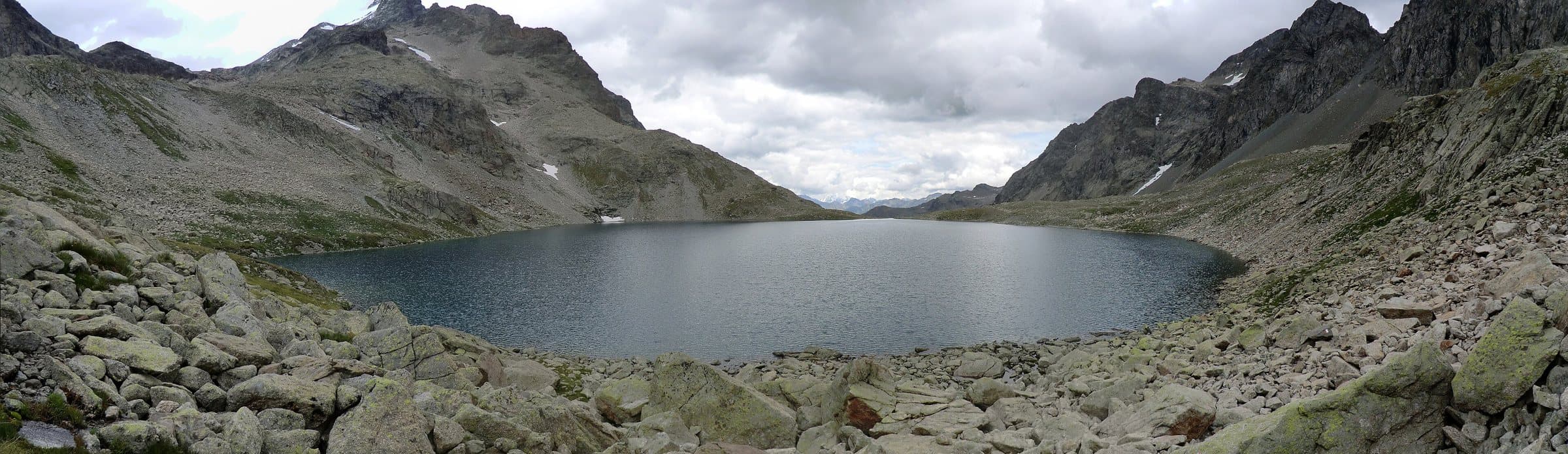
Lake Negro
At about 2,560 metres, in a moraine basin below the Passo Dosdè, between Cima Viola and Cima di Saoseo, a high-altitude lake in the silence of the eastern Val Grosina.
Lake
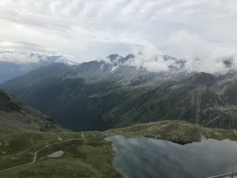
Lake Nero (Passo Gavia)
The deep blue below the pass: a small high-altitude lake at about 2,390 metres, on the Brescia side of the Gavia, among orange pastures and rocks.
Lake
Lake Palabione
Two small lakes at about 2,100 metres above Aprica, with the cross of Monte Filone and a 360-degree view of the Orobie, the Rhaetian Alps and the Adamello.
Lake
Lake Palù
A lake at 1,925 metres on a plateau of pine woods above Chiesa in Valmalenco, among the largest in the valley, reached by a half-hour walk even in winter.
Lake
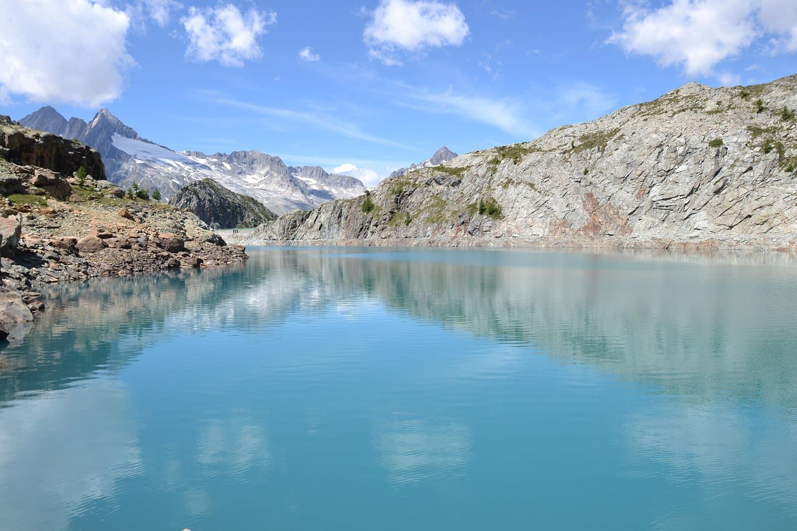
Lake Pirola
A lake of deep blue water at about 2,290 metres, above the Val Ventina, among red serpentine and larches, with a view of the Passo del Muretto.
Lake
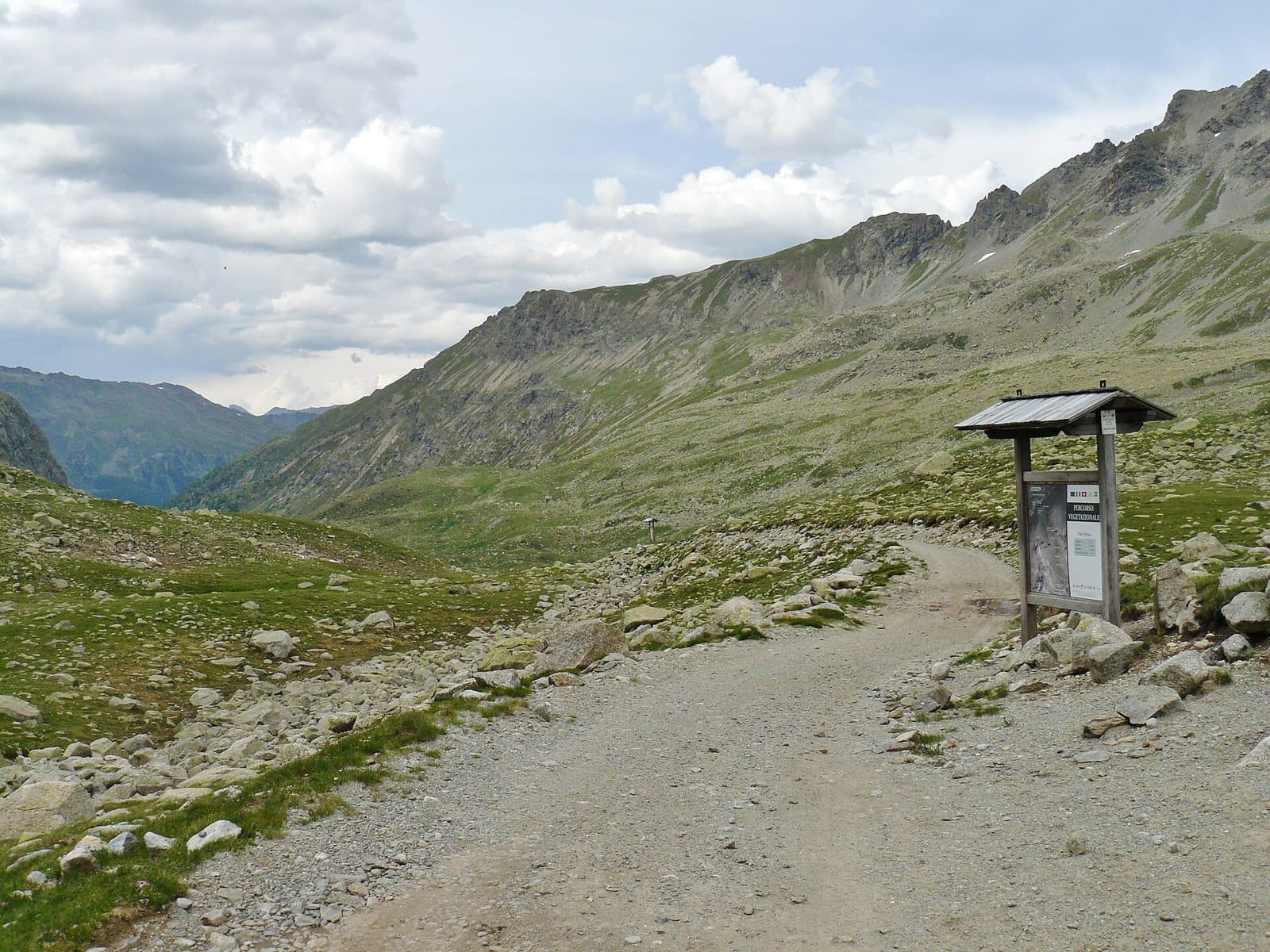
Lake Spalmo di Verva
Above 2,500 metres, in an amphitheatre of rock and ice below the Cima Orientale di Lago Spalmo, the milky glacial lake of the Val Verva.
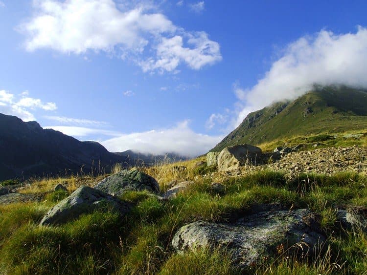
Lake Stelù
The "sterile" lake among the scree, at about 2,580 metres, the highest of the Profa lakes, in a glacial hollow with perfectly clear water.
Lake
Lake Storto
The highest and most panoramic lake of the Mortirolo plateau, at about 2,700 metres, with the Adamello before it, above the hollow of the Seroti Lakes.
Lake
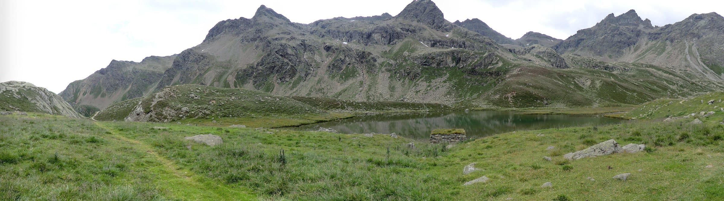
Lake Turchino (Lac Turchin)
At about 2,300 metres, at the foot of the Sasso Calosso, a lake of turquoise water that the people of the Val d'Eita call "Turchino", with a small waterfall on its shore.
Lake
Lake Venere (Lac Vener)
A "splendid" lake at about 2,410 metres, on a terrace below the Passo di Vermolera, among red stones and small turquoise lakes, facing the Piazzi group.
Lake
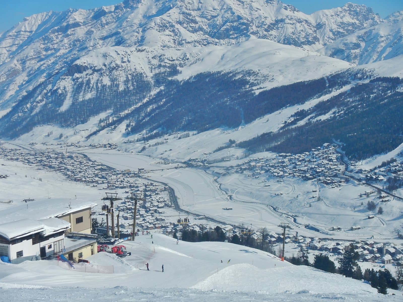
Lake Viola (Lago di Val Viola)
A glacial lake at about 2,300 metres, dammed by a moraine, at the foot of the Val Viola Pass: an almost flat walk from Altumeira, with the Piazzi glaciers in front.
Mountain
Monte Campaccio
The three-thousander of Livigno: 3,004 metres above the Carosello 3000, for those who want a real ridge and a 360-degree panorama over the Livigno Alps, with the slopes at its feet.
Mountain
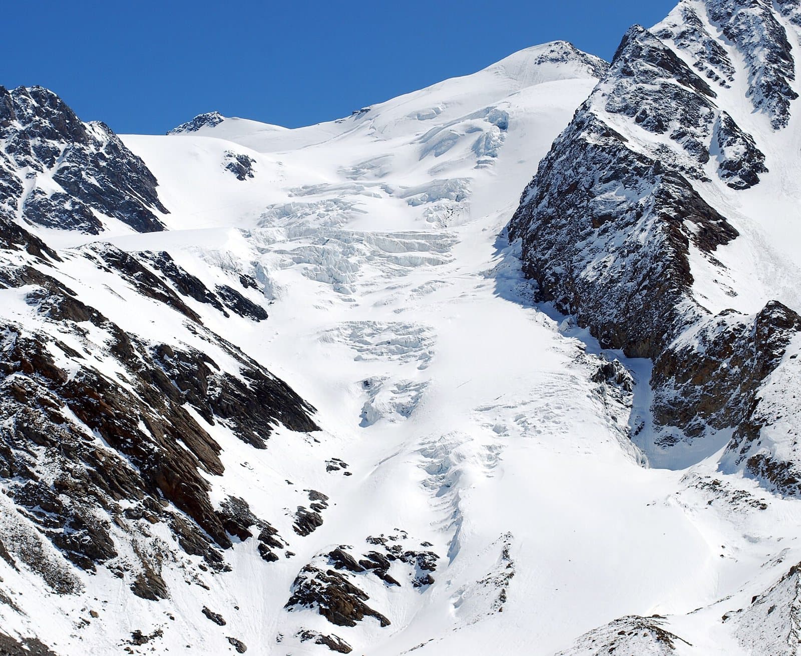
Monte Cevedale
3,769 metres in the heart of the Stelvio Park: a mountain of gentle snow and broad glaciers, the «easy climb» of the group, at the crossroads of Valfurva, Val di Peio and Val Martello.
Mountain
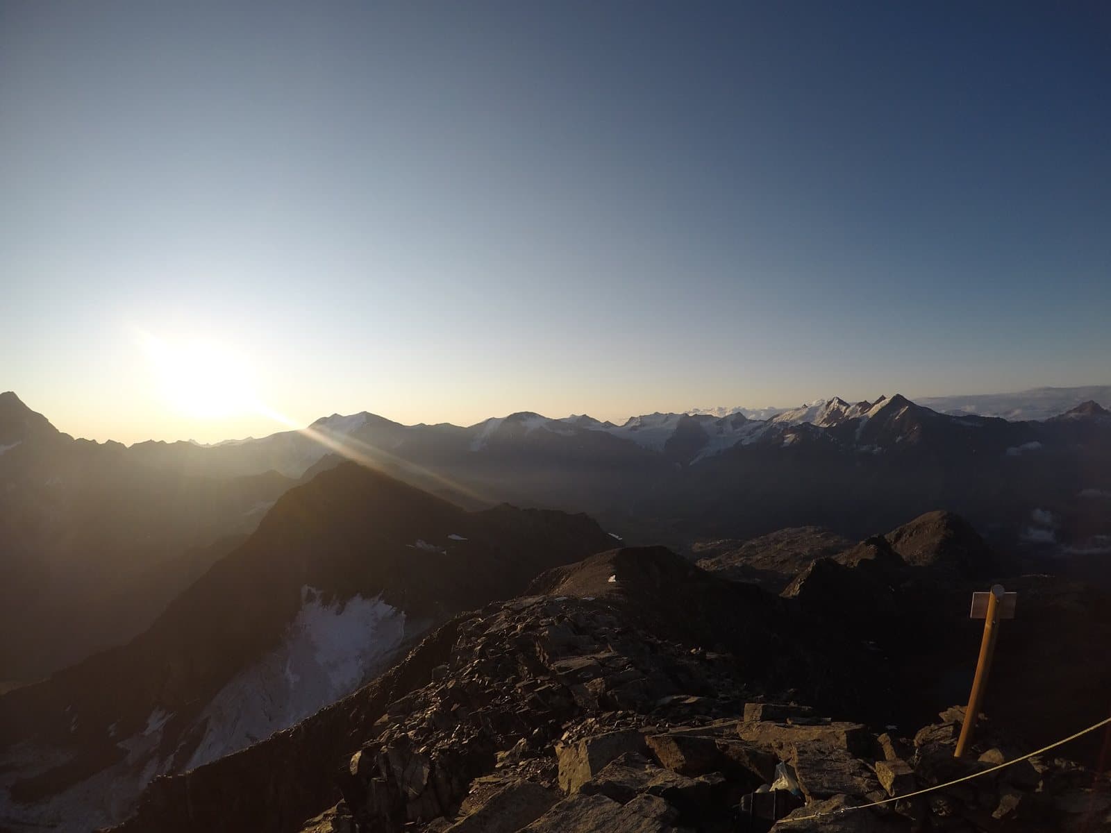
Monte Confinale
A 3,370-metre peak in the heart of the Stelvio Park, above Santa Caterina: dawn lights it up, a lonely bivouac on the ridge waits for you, and the Giro del Confinale circles it.
Mountain
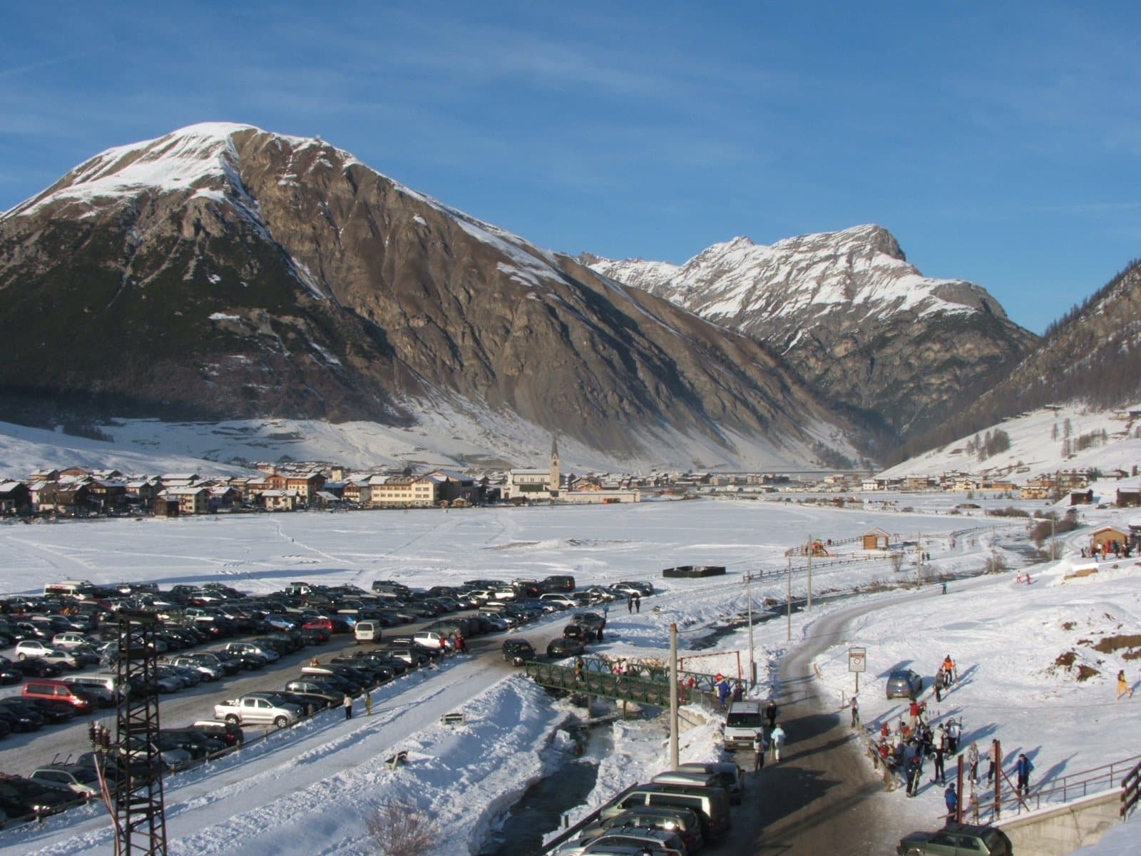
Monte della Neve
2,785 metres, Livigno's «Mont da la Néf»: the summit above the Mottolino, the Valfin piste below the top and a summer walk from the cable car, with the village and its valleys at your feet.
Mountain
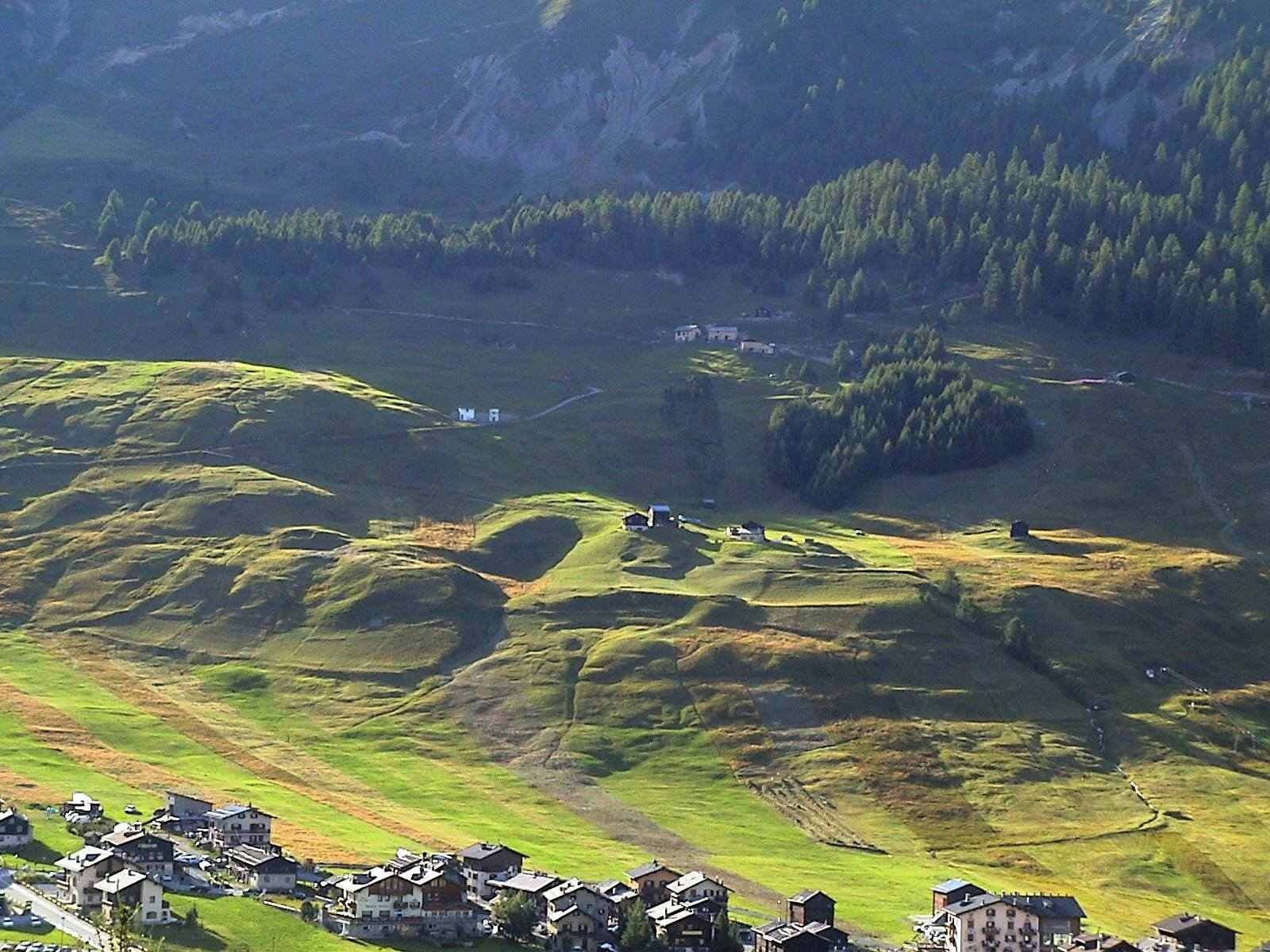
Monte delle Mine
About 2,880 metres above one of the most photogenic valleys of Livigno: the Valle delle Mine, with its larches, high-altitude lakes, a glacier and the Bernina on the horizon.
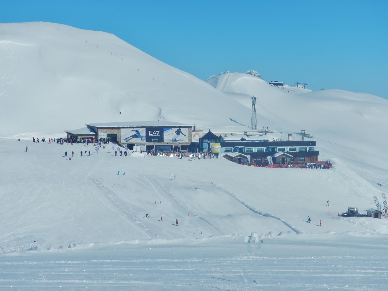
Mountain
Monte delle Rezze
2,858 metres above Livigno, twenty minutes from the Carosello 3000 cable car: the mountain of the Madonon, the great Madonna del Soccorso who watches over the village, and of an Alpini bivouac in stone.
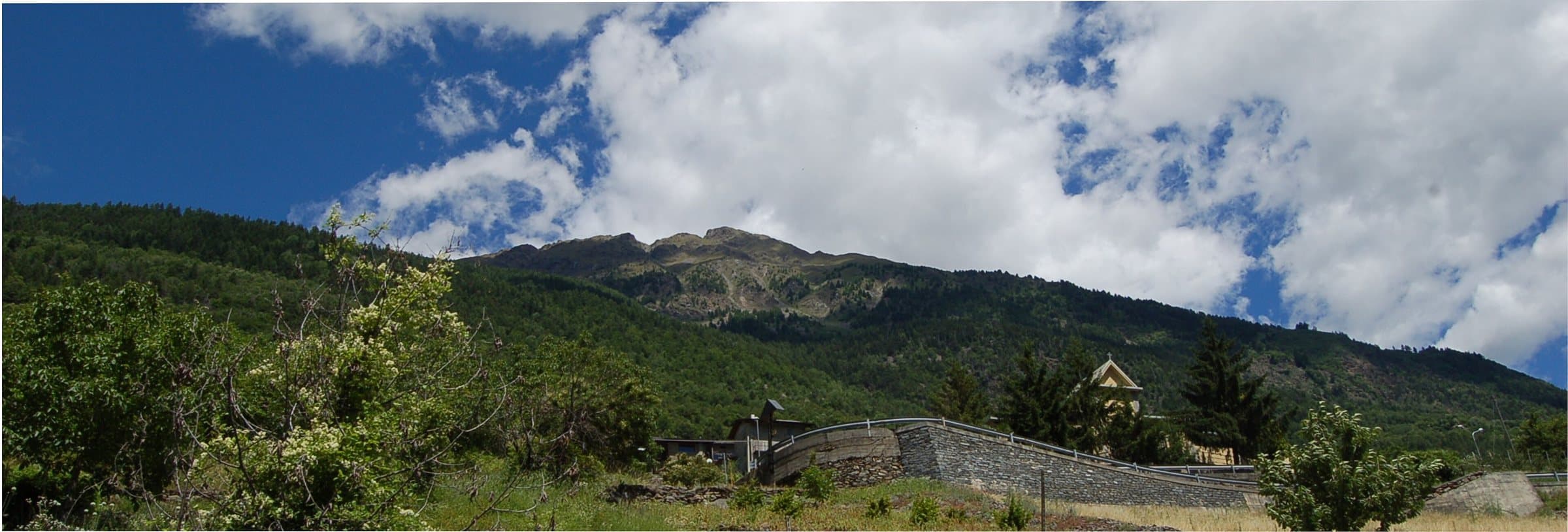
Mountain
Monte Masuccio
Tirano's home mountain: 2,816 metres above Baruffini and Roncaiola, with the Schiazzera hut, a military mule track, the Sentiero Italia and the Swiss border a step from the summit.
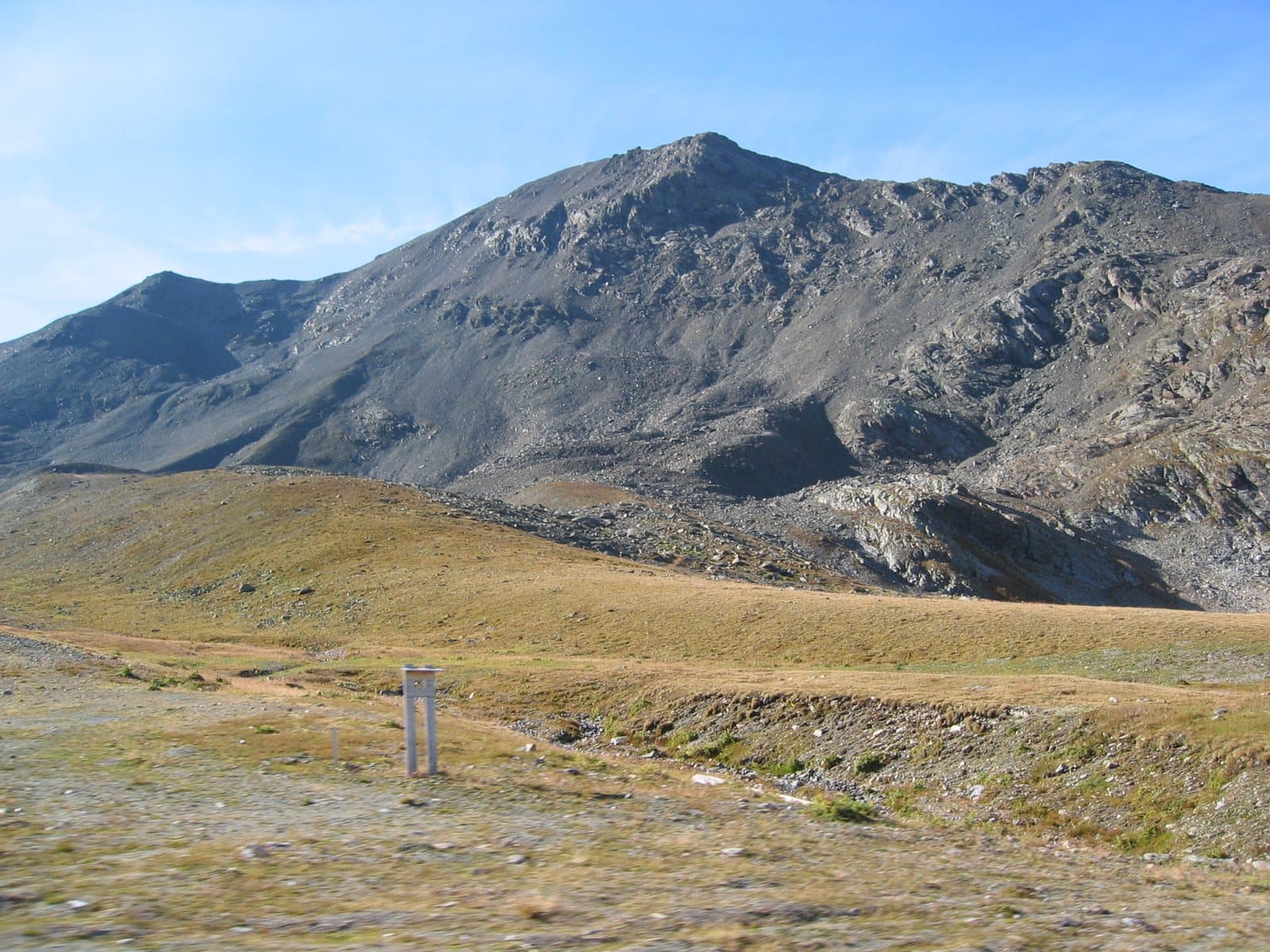
Mountain
Monte Scorluzzo
Above the Stelvio Pass, a 3,094-metre belvedere with the trenches of the White War, the Austro-Hungarian shelter recovered from the ice after a century and the view of the Ortles.
Mountain
Monte Sobretta
The highest point of the Santa Caterina ski area: a 3,296-metre peak, gentle and bright, among the best-loved ski-mountaineering climbs in the Valfurva and a trip suited even to beginners.
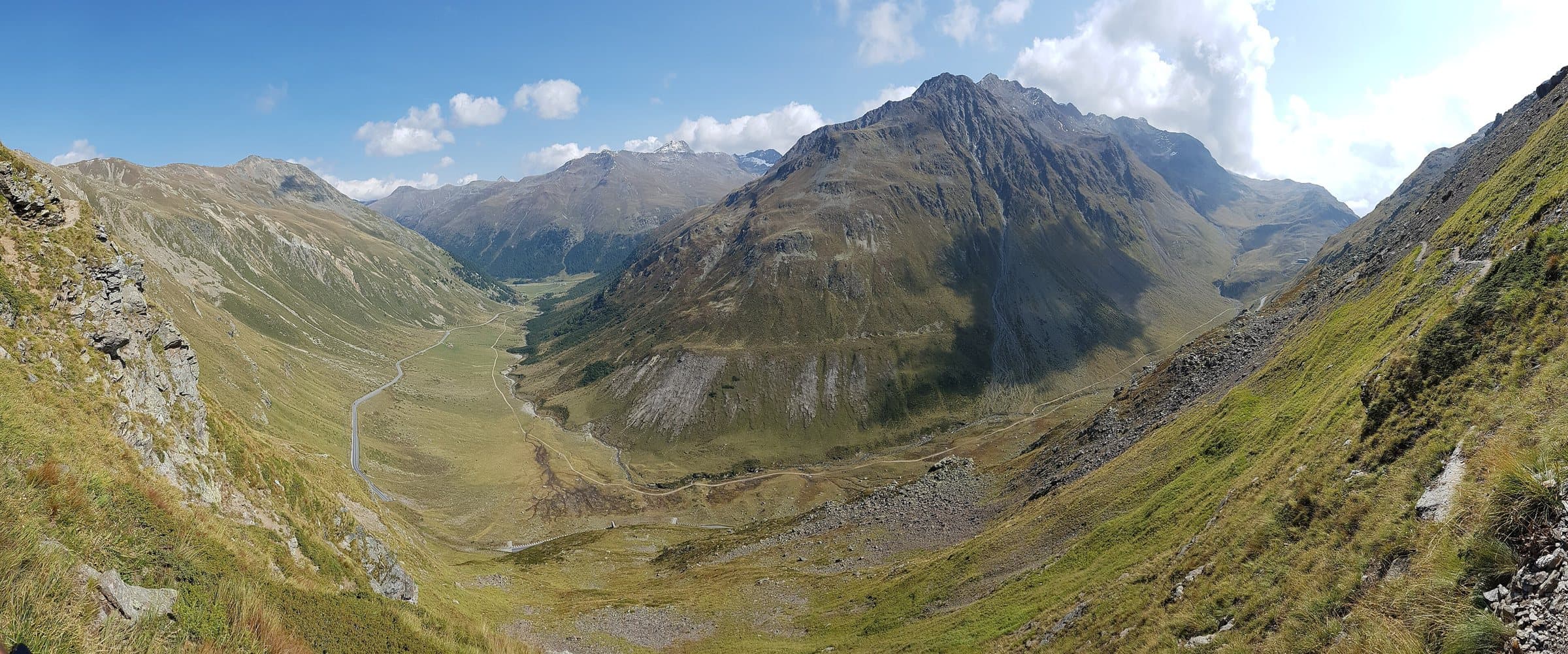
Mountain
Monte Vago
About 3,050 metres above the Forcola Pass: a turquoise lake on the way, a rocky ridge for experienced hikers and a Swiss border running beside the path.
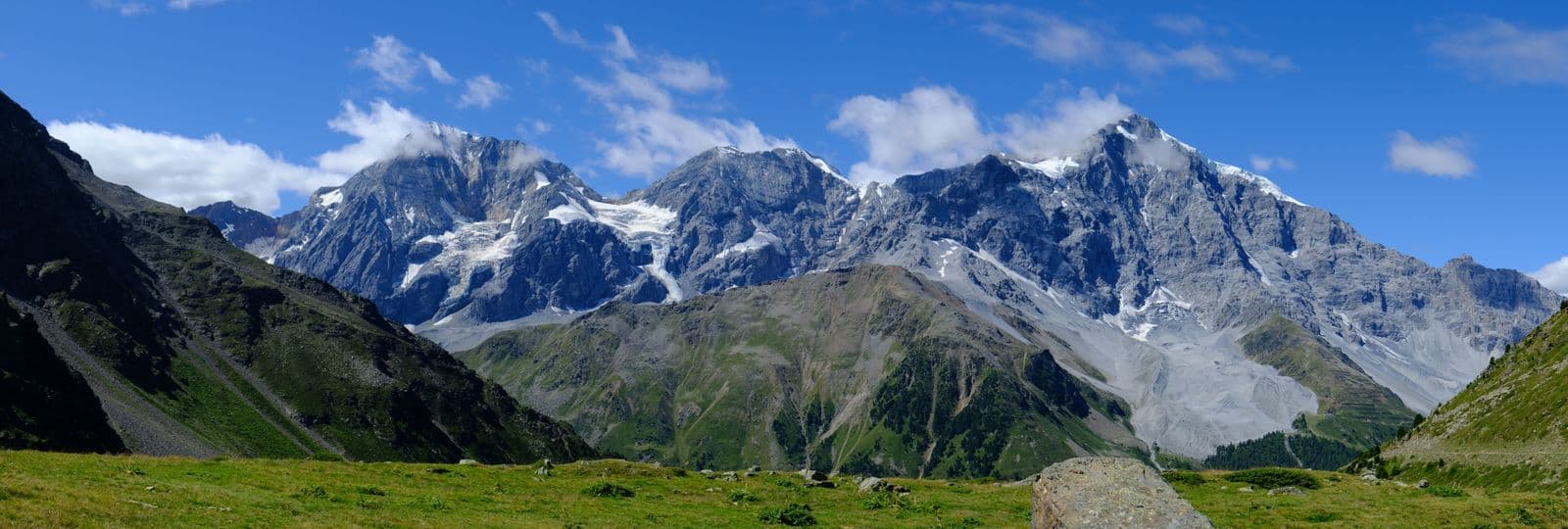
Mountain
Ortles (Ortler)
3,905 metres: the highest mountain in South Tyrol and of the whole group, seen from the Stelvio Pass and the Upper Valtellina. The summit is outside Lombardy, but its first ascent in 1804 is one of the great stories of mountaineering.
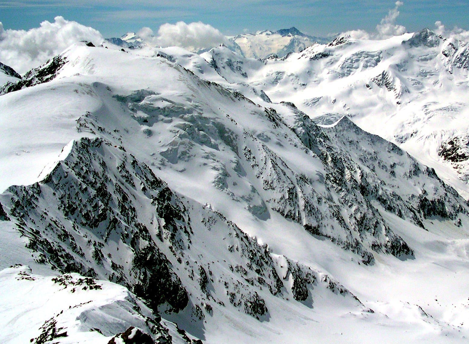
Mountain
Palon de la Mare
A great back of snow between the Cevedale and the Vioz, at 3,703 metres: a mountain of border and silence, in the heart of the Stelvio Park, reached by way of the huts above Santa Caterina.
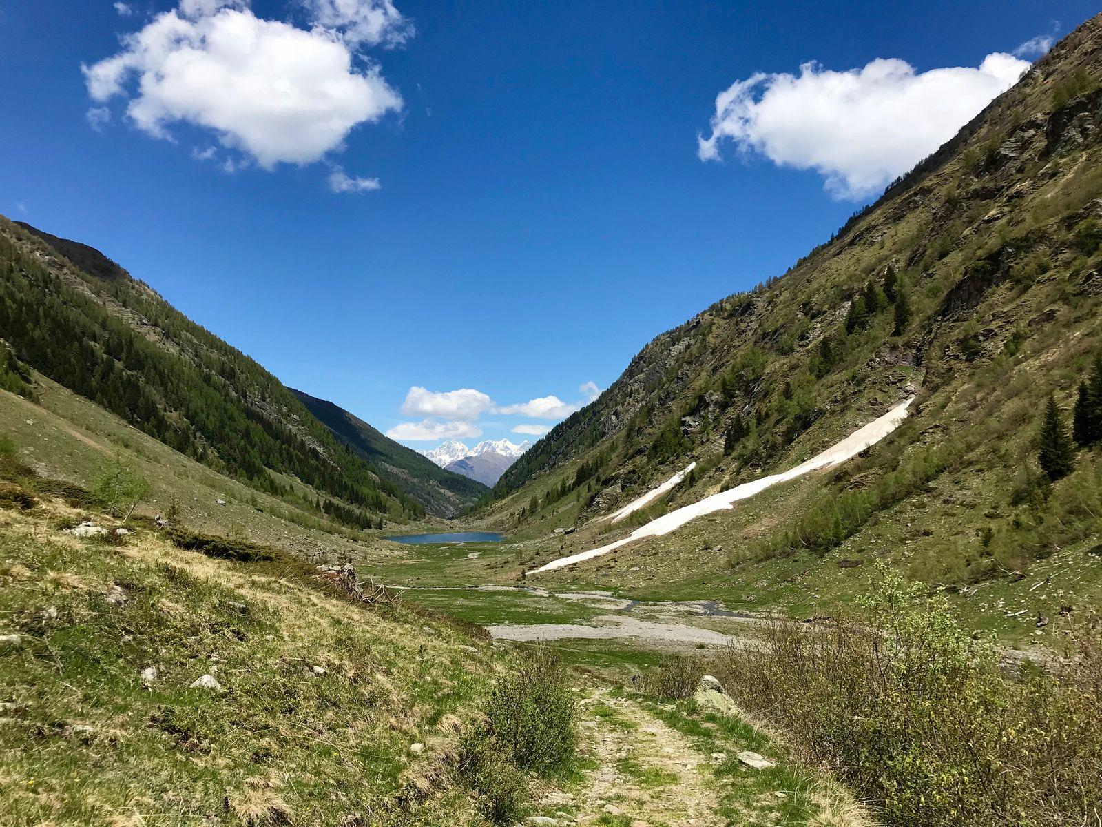
Nature reserve
Orobie Valtellinesi Park
The Valtellina of shade and silence: fourteen glacial valleys, turquoise lakes and a 130-kilometre Gran Via for those who want to walk where almost no one goes.
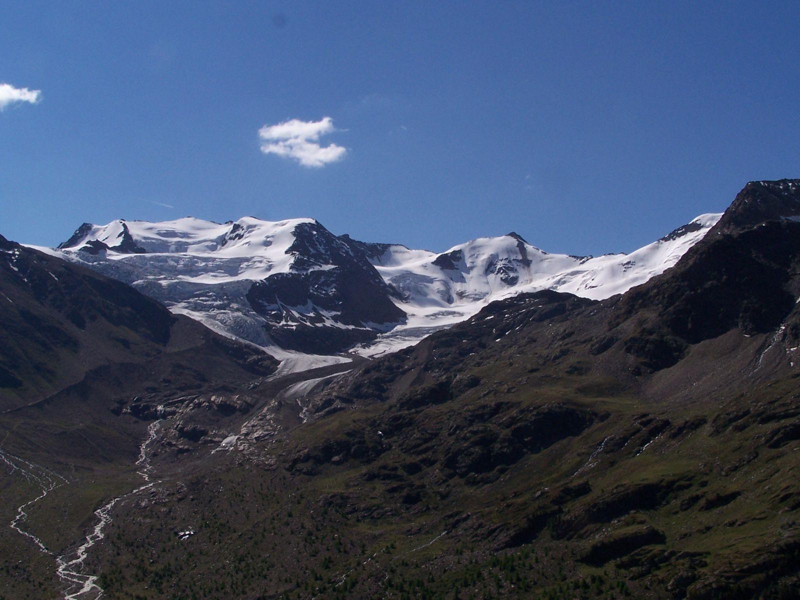
Nature reserve
Stelvio National Park (Bormio side)
One of Italy's largest and oldest parks: glaciers, peaks above 3,900 metres, ibex, eagles and bearded vultures, and its Lombard side opening from Bormio.
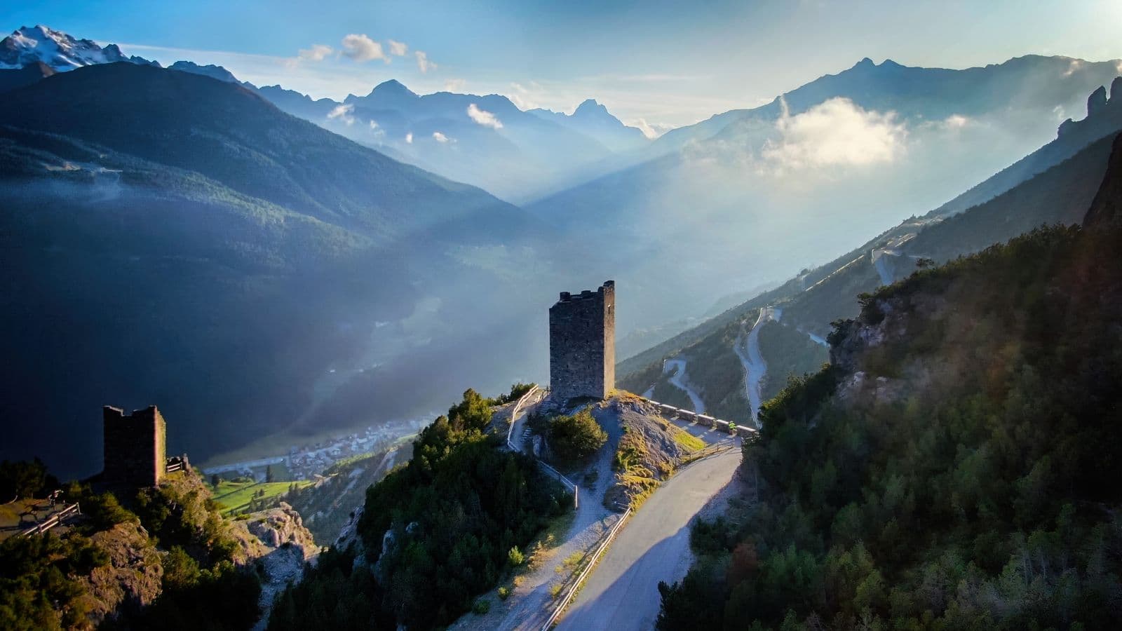
Mountain passes and springs
Alpisella Pass
The «cold pasture» above the Fraele Towers: a pass of about 2,270 metres joining Bormio and Livigno, the watershed between the Black Sea and the Adriatic, in the heart of the Stelvio Park.
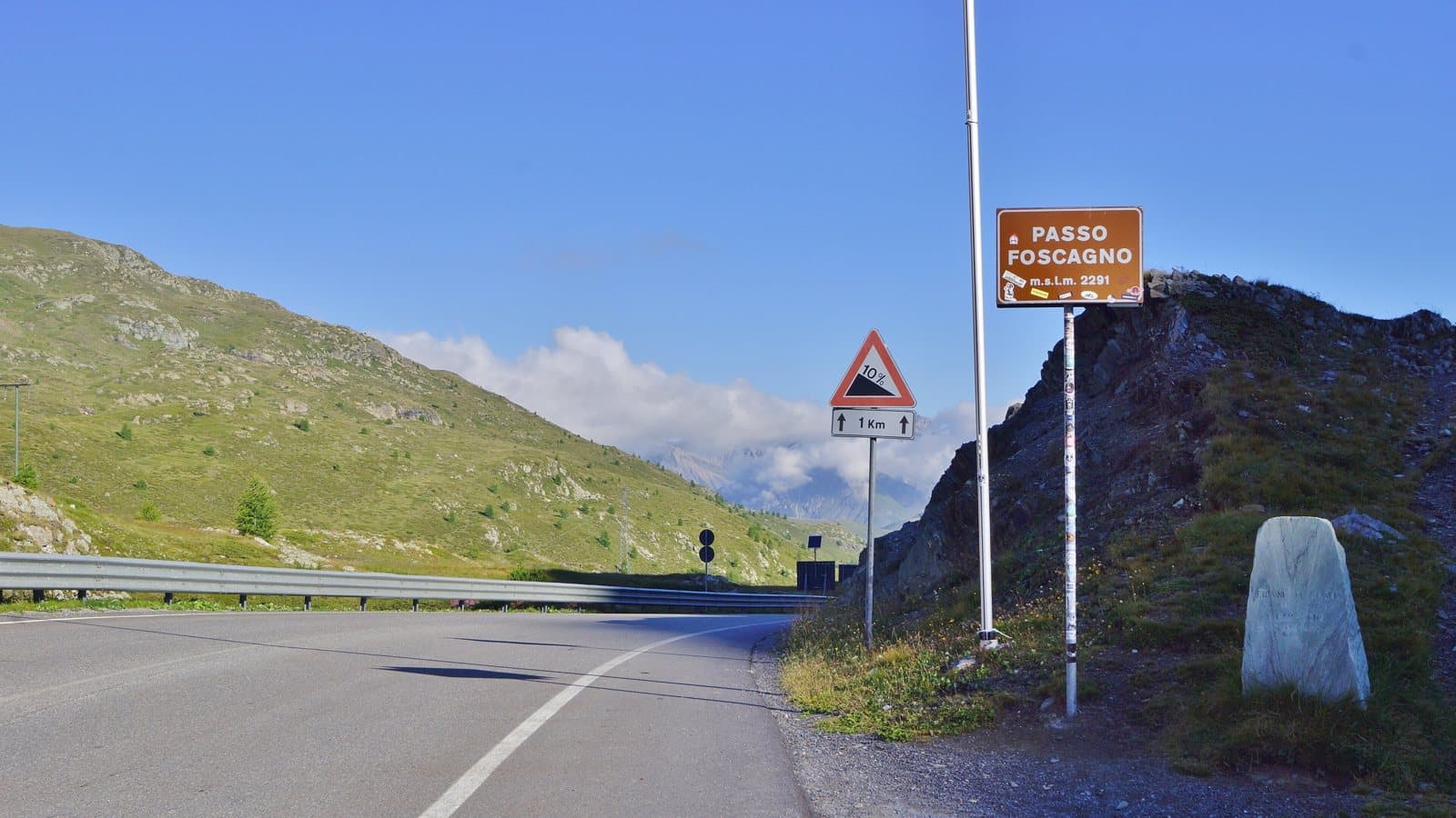
Mountain passes and springs
Foscagno Pass
2,291 metres: the road that leads to Livigno without leaving Italy, between a customs post and a watershed where two streams born a few metres apart end up, one in the Black Sea and the other in the Mediterranean.
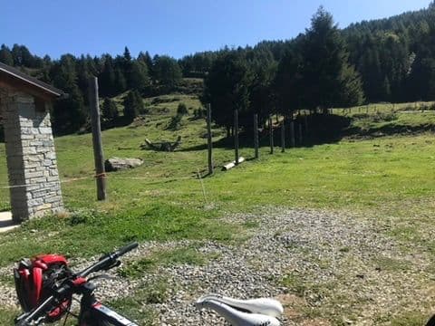
Mountain passes and springs
Mortirolo Pass
A climb cyclists name in a low voice: the legend of the Pirate, the duels that decided Giros, three sides to conquer and a table with a view over half of Valtellina.
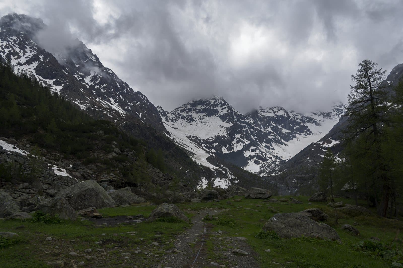
Mountain passes and springs
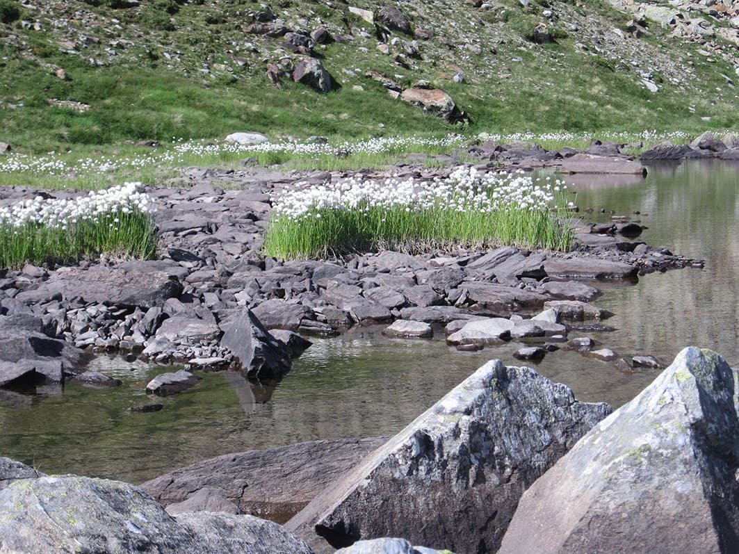
Muretto Pass
2,562 metres from Chiareggio to the Engadine, by a crossing known since antiquity: a military road of the Cadorna Line, the Protestant refugees of 1620 and the source of the Mera a few steps away.
Mountain passes and springs
Portone Pass
The smugglers' pass above Tirano: about 2,630 metres, a boundary stone, the Val Saiento and the Schiazzera Lakes beneath your feet. From the Guardia di Finanza barracks turned into a hut.
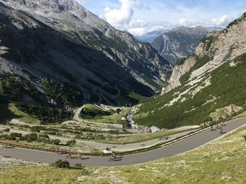
Mountain passes and springs
Stelvio Pass
At 2,758 metres, three roads, 88 hairpins, the legend of Coppi and a glacier where you ski even in summer: Italy's highest pass is a mountain to live, not just to cross.
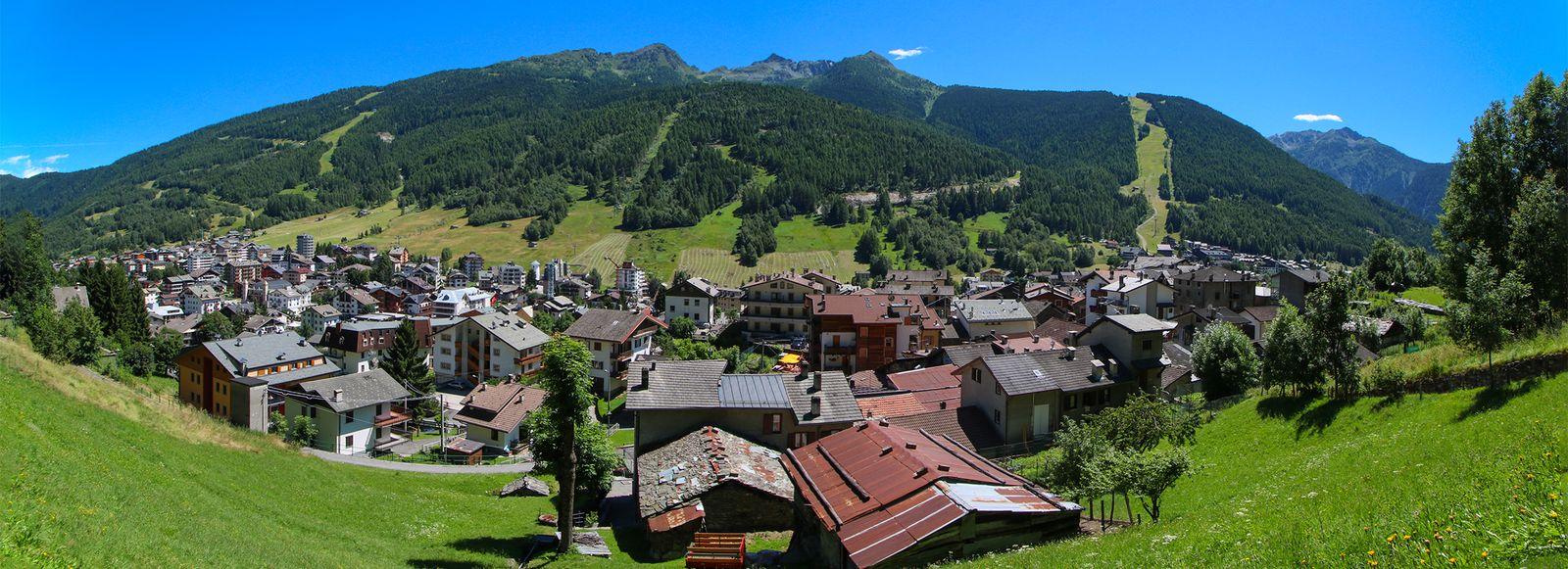
Mountain passes and springs
Aprica Pass
The gentlest pass between Valtellina and Val Camonica: an ancient crossing turned holiday resort, gateway to the Pian di Gembro peat bog and the Trivigno pastures, on the Giro's roads and on skis.
Mountain passes and springs
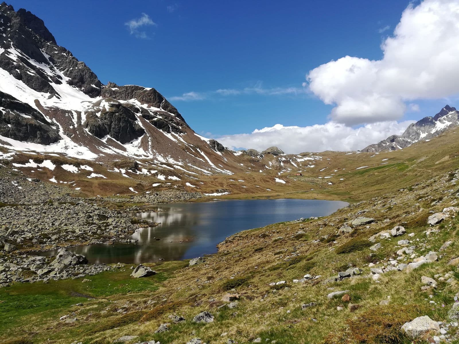
Campagneda Pass
About 2,620 metres between the Campagneda plateau and the Val Poschiavina: a wooden arch marks the crossing between the Valmalenco and the Valposchiavo, a stage of the Alta Via and the Via Alpina.
Mountain passes and springs
Val Viola Pass
Beyond the lakes of the Viola hut, a border pass between Valdidentro and Valposchiavo at about 2,430-2,470 metres: a path between the Corno di Dosdè and the Piz Val Nera, much loved by mountain bikers.
Mountain passes and springs
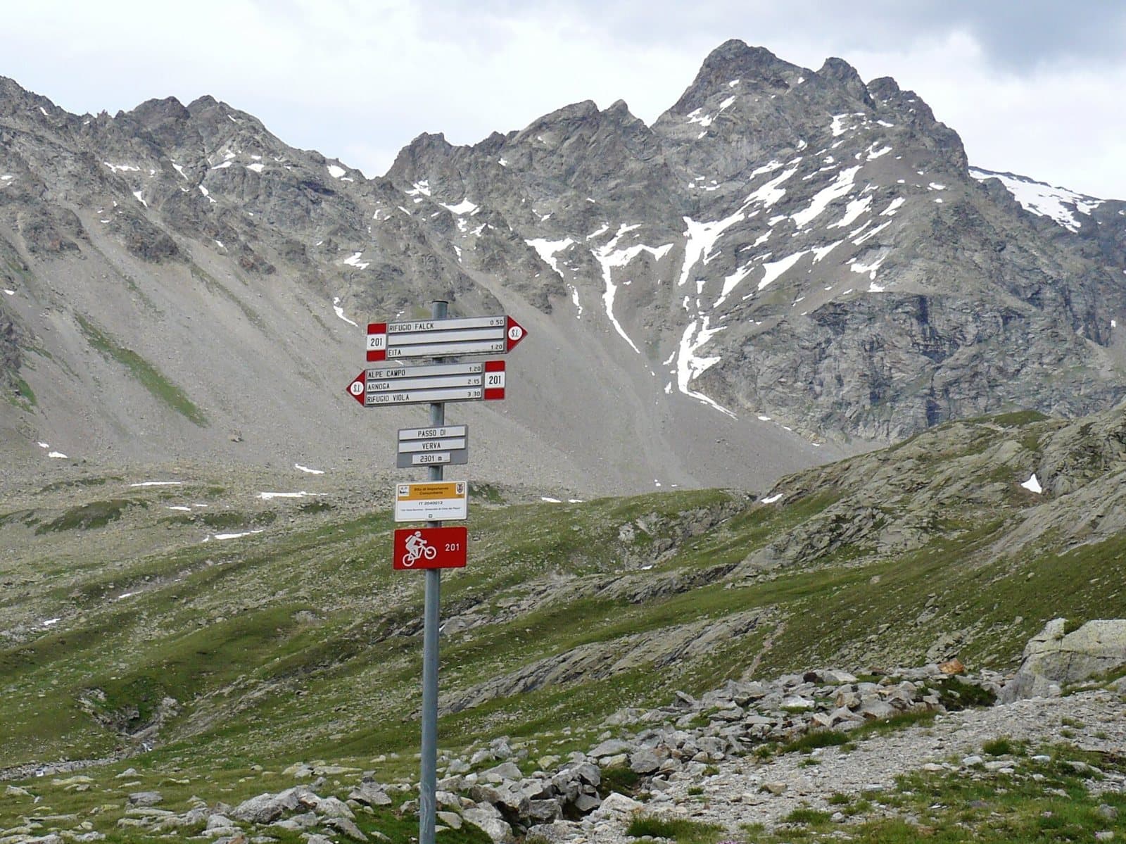
Verva Pass
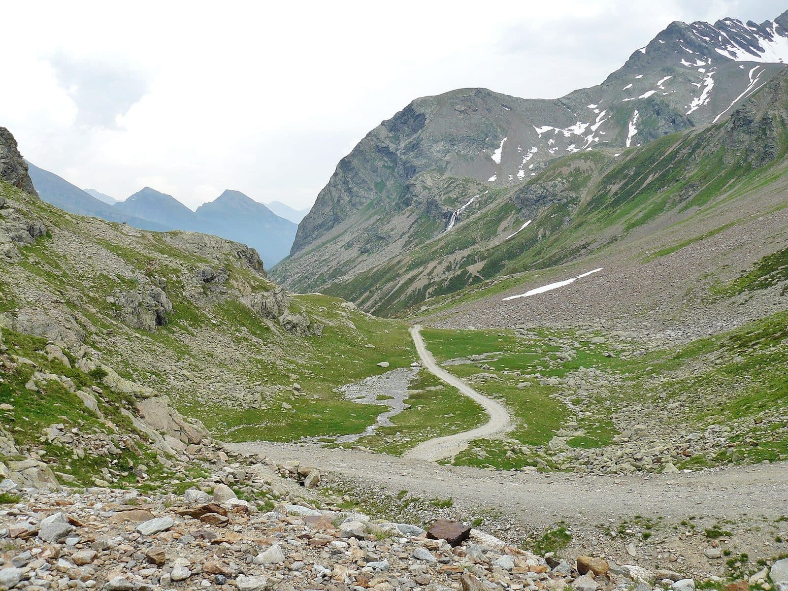
2,301 metres between the Val Grosina and the Upper Valtellina: the way of Venetian merchants and smugglers, of herdsmen and valley people in the emergency of 1987, today a wide, panoramic track that starts from Eita.
Mountain passes and springs
Eira Pass
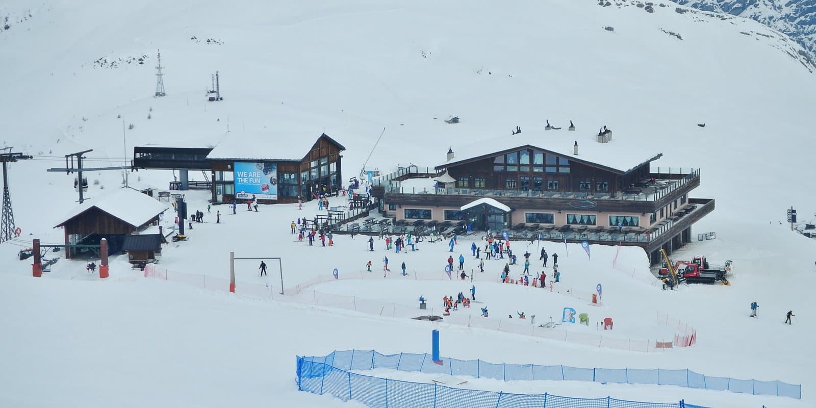
2,208 metres, a step from the Mottolino: the Livigno pass where the meadows reach the road, the houses stay inhabited all year round and a chapel dedicated to Our Lady of Peace looks over the valley.
Mountain passes and springs
Gavia Pass
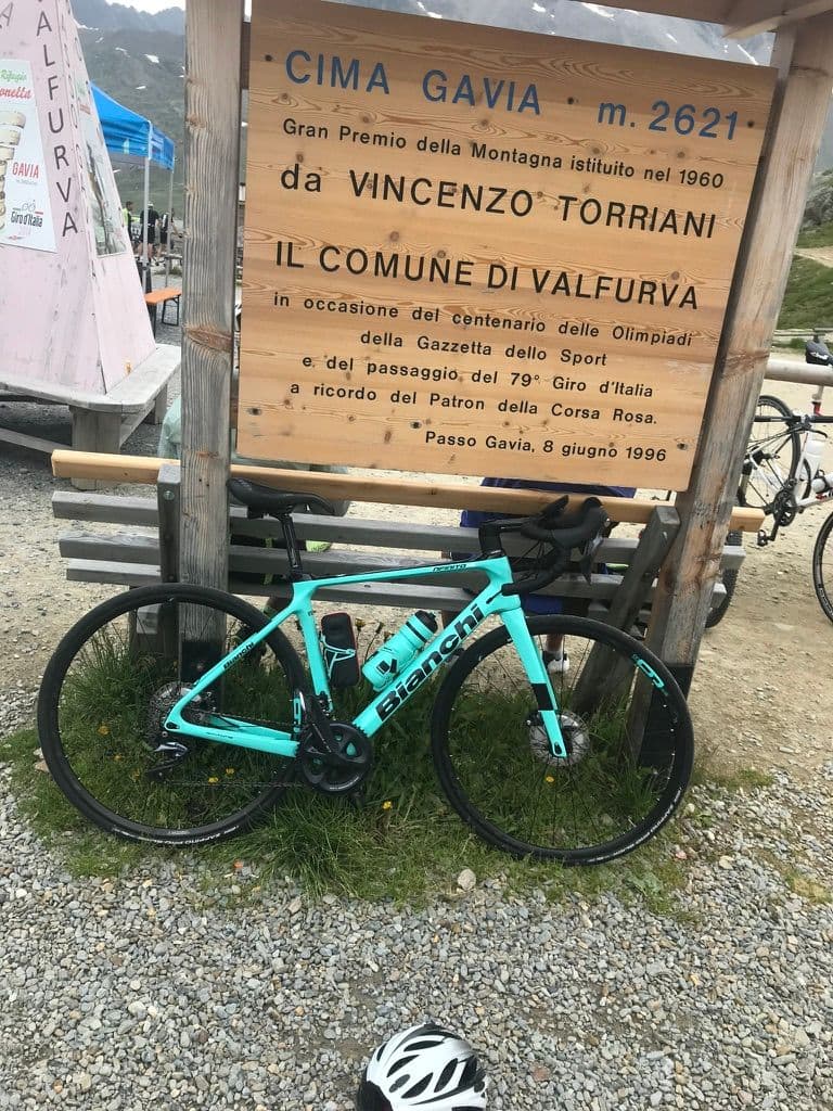
2,621 metres between Santa Caterina Valfurva and Val Camonica: an old mule track, the Great War front, the snowstorm that made the 1988 Giro and a heart of glaciers and lakes in the Stelvio Park.
Mountain passes and springs
Umbrail Pass
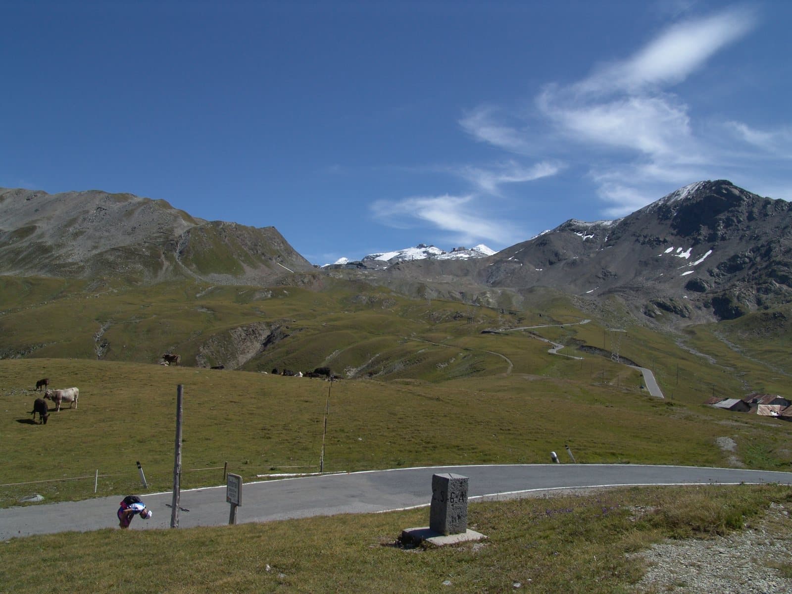
2,501 metres: the highest road pass in Switzerland, a step from the Stelvio, entered from the Fourth Cantoniera and descending thirteen kilometres to the Val Müstair. The third side of the Stelvio.
MTB route
Pedemontana della Reit
A balcony of larches and meadows above Bormio, in the Stelvio National Park: a varied loop for mountain bikes and e-bikes, with views over the valley and the peaks that close it.
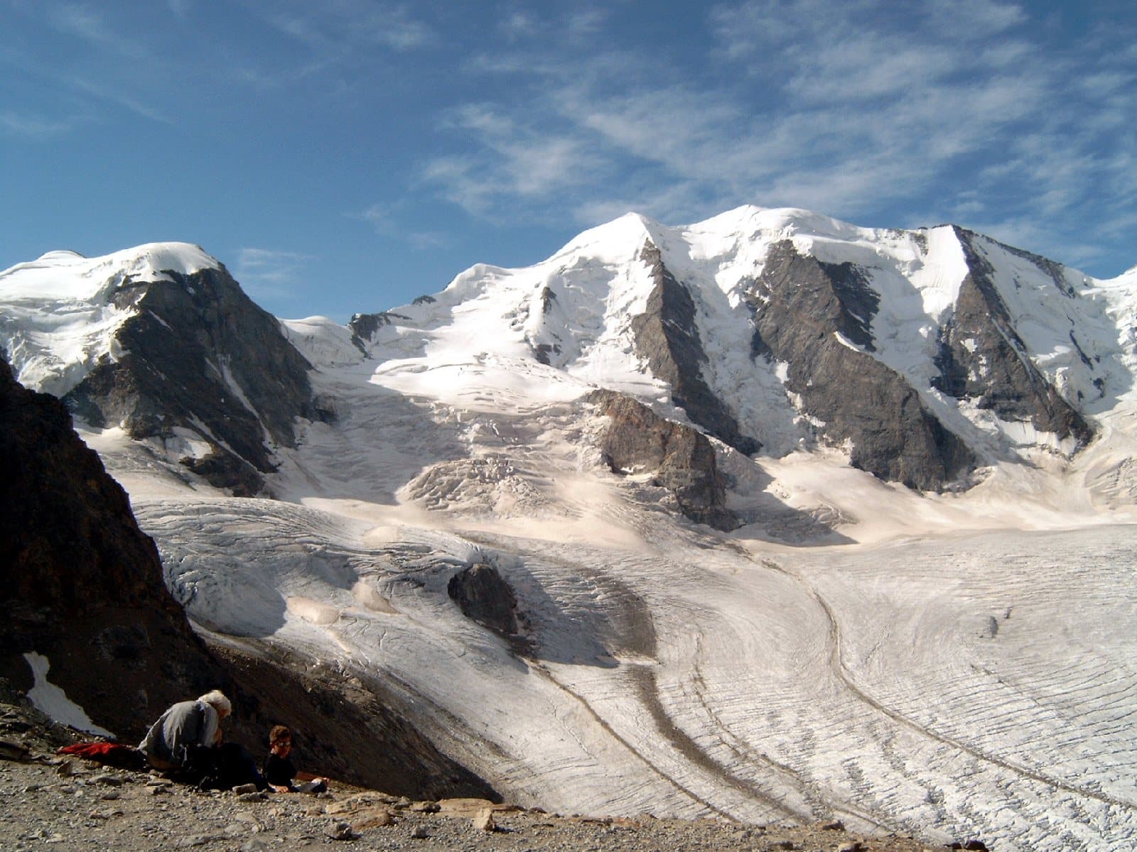
Mountain
Piz Palü
Three sister summits and four hanging glaciers on the border between the Valmalenco and the Engadine: one of the most beautiful mountains of the Central Alps, star of a 1929 film and a few minutes from the Red Train.
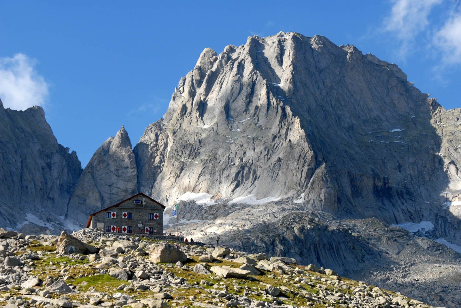
Mountain
Pizzo Badile
The granite cathedral of the Val Masino: 3,308 metres of golden rock, the most famous north face of the Central Alps, the Cassin route of 1937 and a story of courage and tragedy.
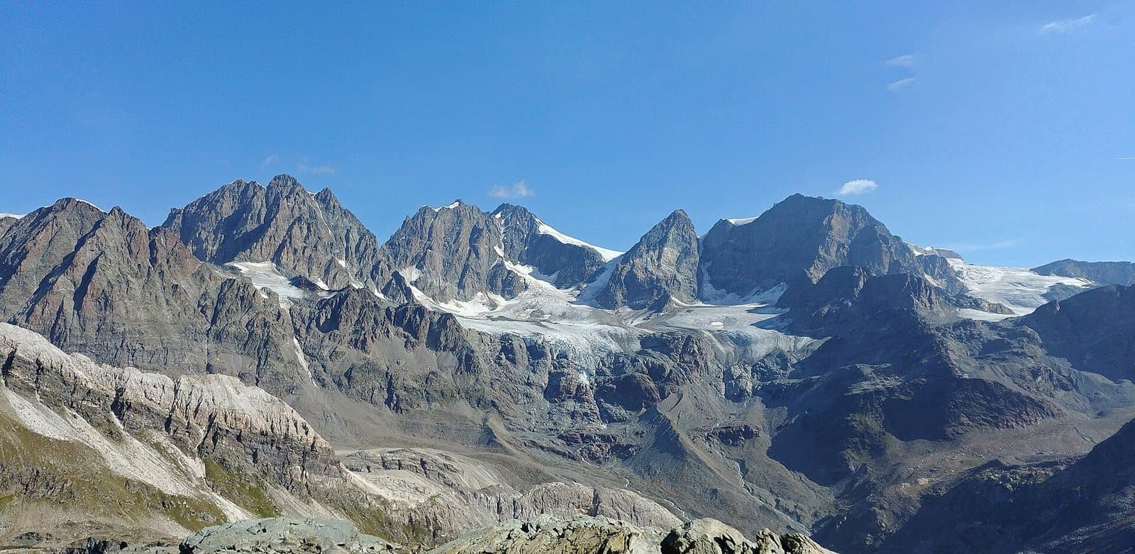
Mountain
Piz Bernina
4,049 metres of ice: the king of the Bernina group, the easternmost four-thousander of the Alps, with an Italian summit, the Perrucchetti, that is the highest point in Lombardy. And the Red Train that leaves from Tirano runs right at its feet.
Mountain
Pizzo Cantone
2,904 metres of pale stone, almost lunar, in the heart of the Carosello 3000: a belvedere of Livigno that you climb with the cable car and, if you like, descend with the cable car.
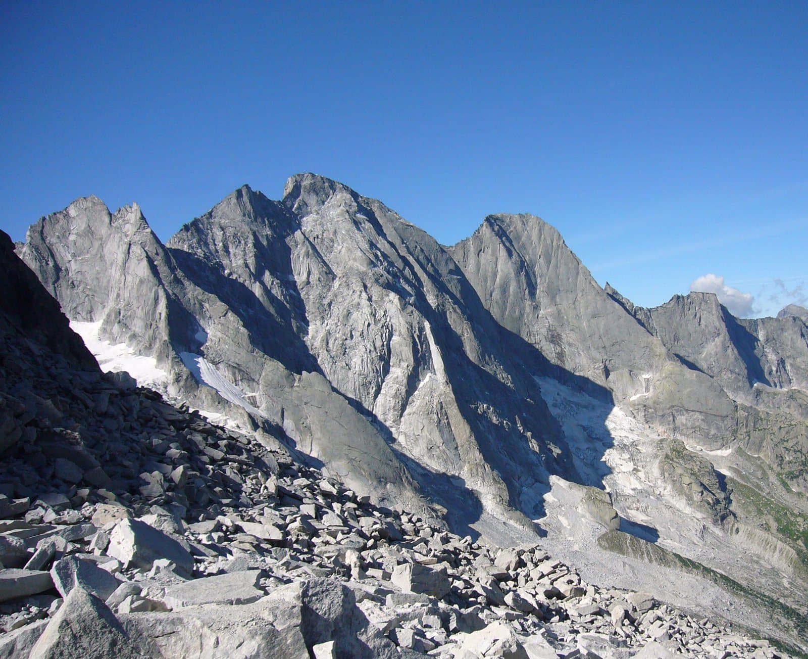
Mountain
Pizzo Cengalo
A truncated pyramid of granite and ice of 3,369 metres, the highest of the Badile group: the summit that in 2017 reminded everyone how alive a mountain is, and that today you admire from the Gianetti hut.
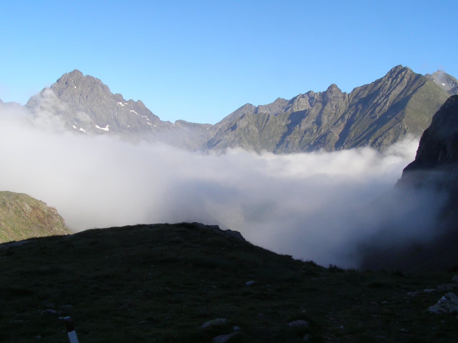
Mountain
Pizzo Coca
The King of the Orobie: 3,050 metres above the Conca dei Giganti, the highest summit of the Alps that divide the Valtellina from the Bergamo area, with a story of wrong measurements and a CAI president who wanted to know the truth.
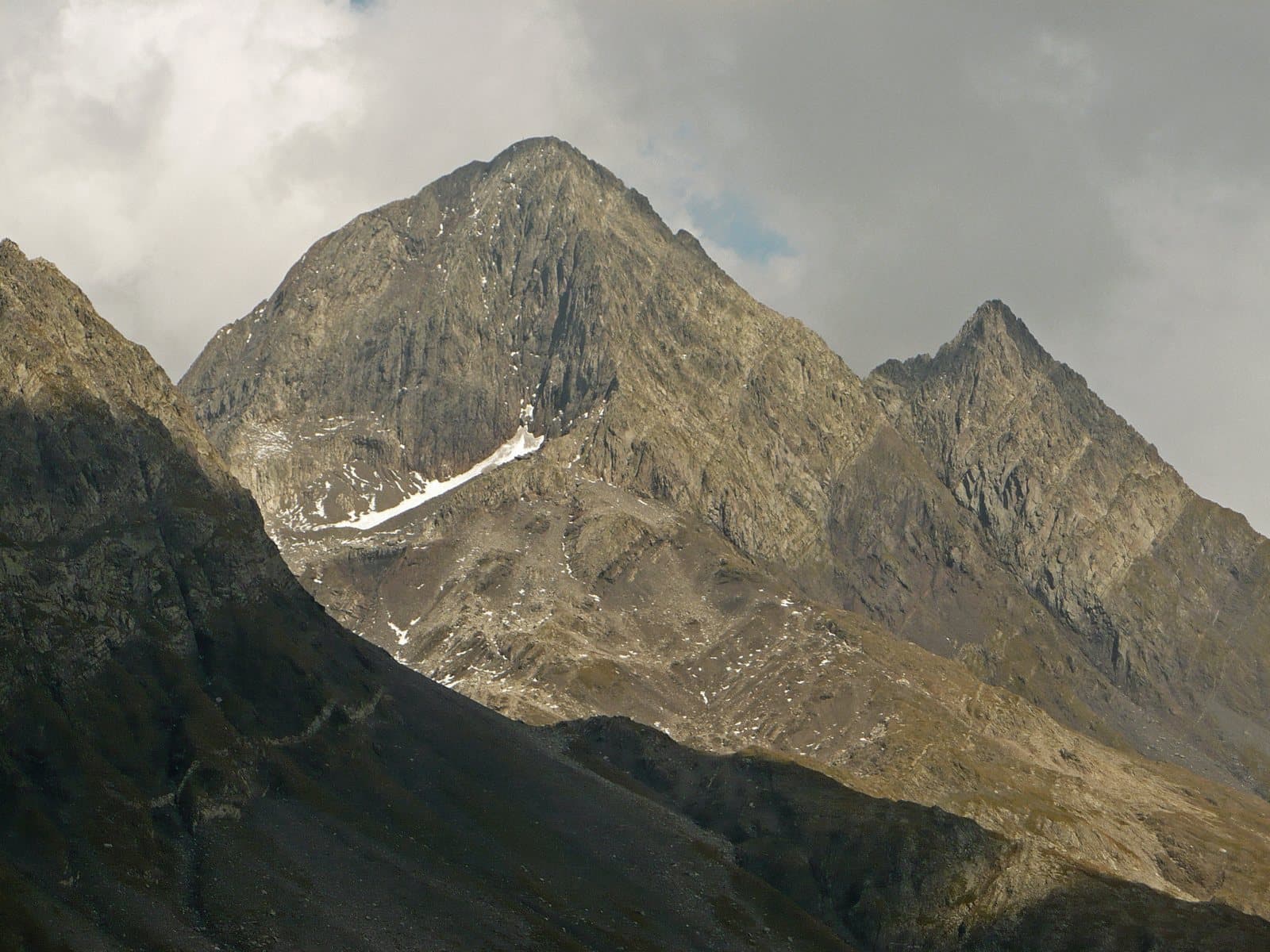
Mountain
Pizzo del Diavolo di Tenda
The «Matterhorn of the Orobie»: a slender pyramid of about 2,914 metres above the Val d'Ambria, with a twin, the Diavolino, and a story of guides, springs and a first female ascent in 1879.
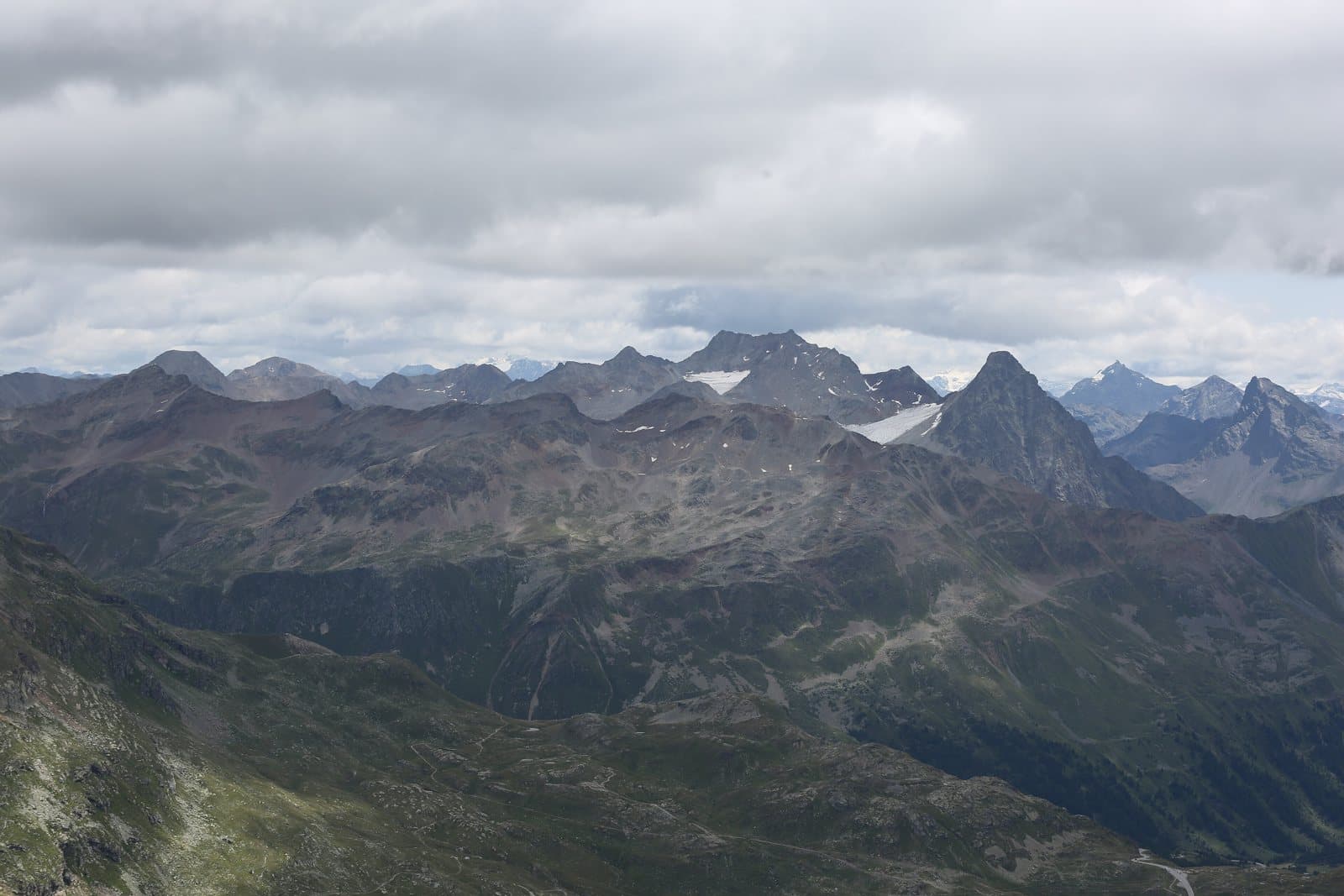
Mountain
Piz Paradisin (Pizzo Paradisino)
A name that is already a promise: the «little paradise» of 3,300 metres between the Val Viola and the Val di Campo, on the border with Switzerland, with the Lago di Val Viola and the Saoseo hut at its feet.
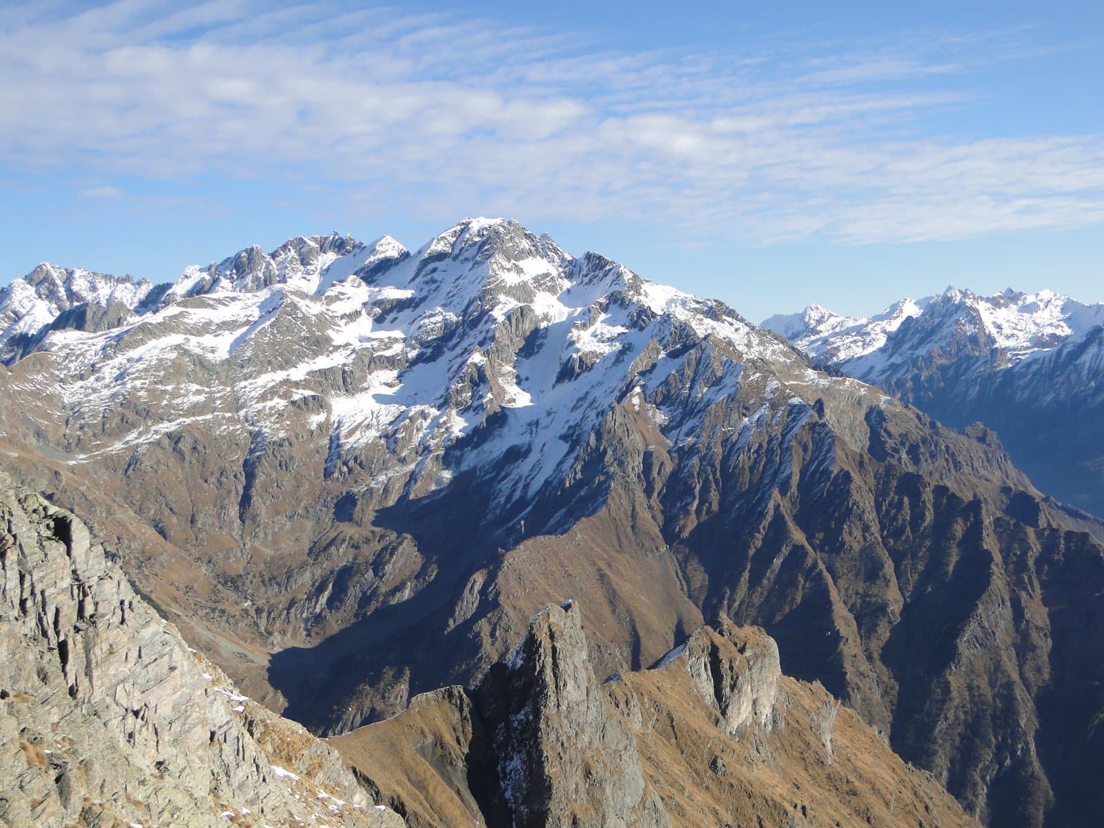
Mountain
Pizzo Redorta
3,038 metres above the Scais Glacier: for decades believed to be the highest summit of the Orobie, climbed in 1830 by Austrian surveyors, and chosen by Antonio Curò in 1877 to measure the truth.
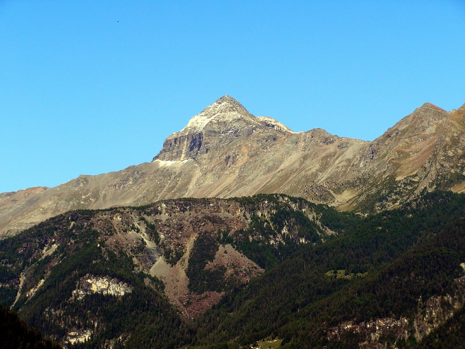
Mountain
Pizzo Scalino
A perfect pyramid of 3,323 metres above the Campagneda plateau: the symbol of the upper Valmalenco, climbed for years by hikers and ski mountaineers, with a view of the Bernina that you do not forget.
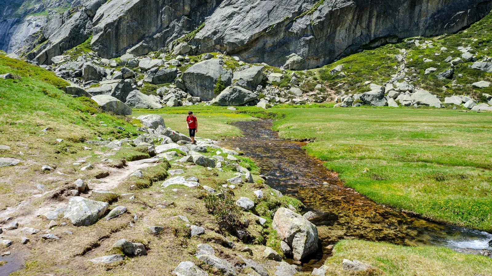
Mountain
Pizzo Torrone Orientale
A granite tower of 3,333 metres above the Val di Zocca, kingdom of the climbers: the south ridge of the Osio-Canali route is one of the classics of the Val Masino.
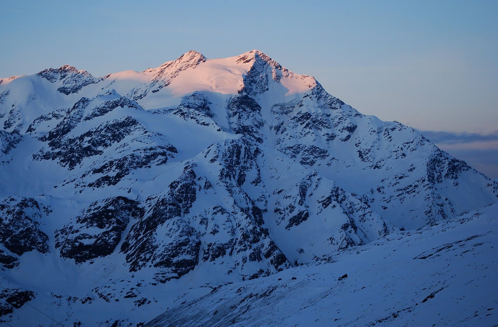
Mountain
Pizzo Tresero
3,594 metres above the Forni Glacier: the mountain that dawn tints pink above Santa Caterina, last summit of the great chain of the 13 Peaks and a classic climb from the Berni hut.
Mountain
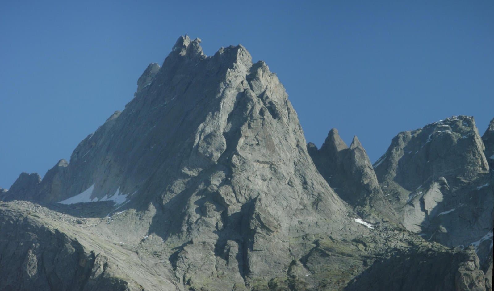
Punta Rasica
A granite spire of about 3,300 metres above the Val di Zocca: the mountain from which, after a tragedy in 1935, came the idea of the Vibram sole that changed mountain boots all over the world.
Mountain
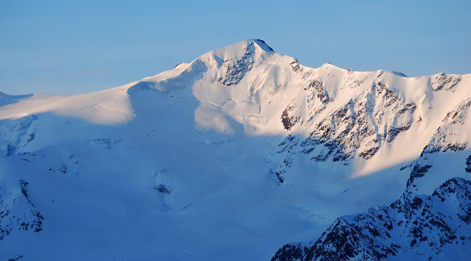
Punta San Matteo
3,678 metres of snow and memory: the summit of the highest battle in history, on 13 August 1918. Today it is a snowy climb above the Forni Glacier, and the Berni hut, on the Gavia road, keeps its memory.
Mountain
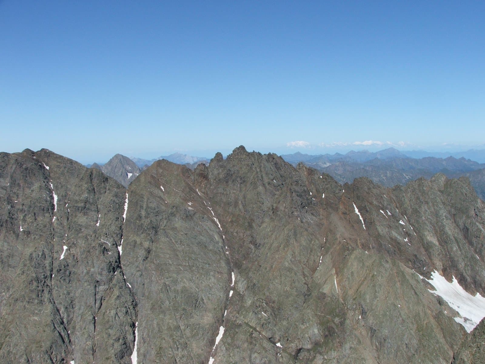
Punta Scais
A sharp spire of 3,038 metres above the Lago di Scais: the joint second summit of the Orobie with the Redorta, the Torrione Curò and a small cross that remembers a great mountaineer from Bergamo.
Mountain
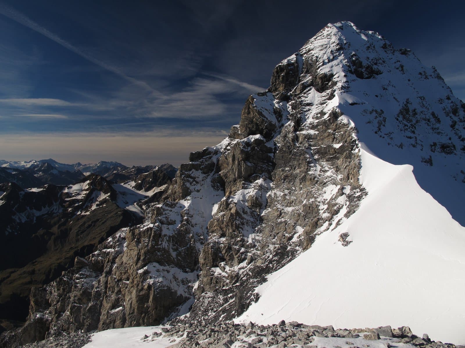
Punta Thurwieser (Thurwieserspitze)
An elegant spire of about 3,650 metres, dedicated to an Austrian priest-mountaineer: beautiful to look at from the Quinto Alpini hut, hard to climb because of its crumbling rock, and the protagonist of a colossal rockslide in 2004.
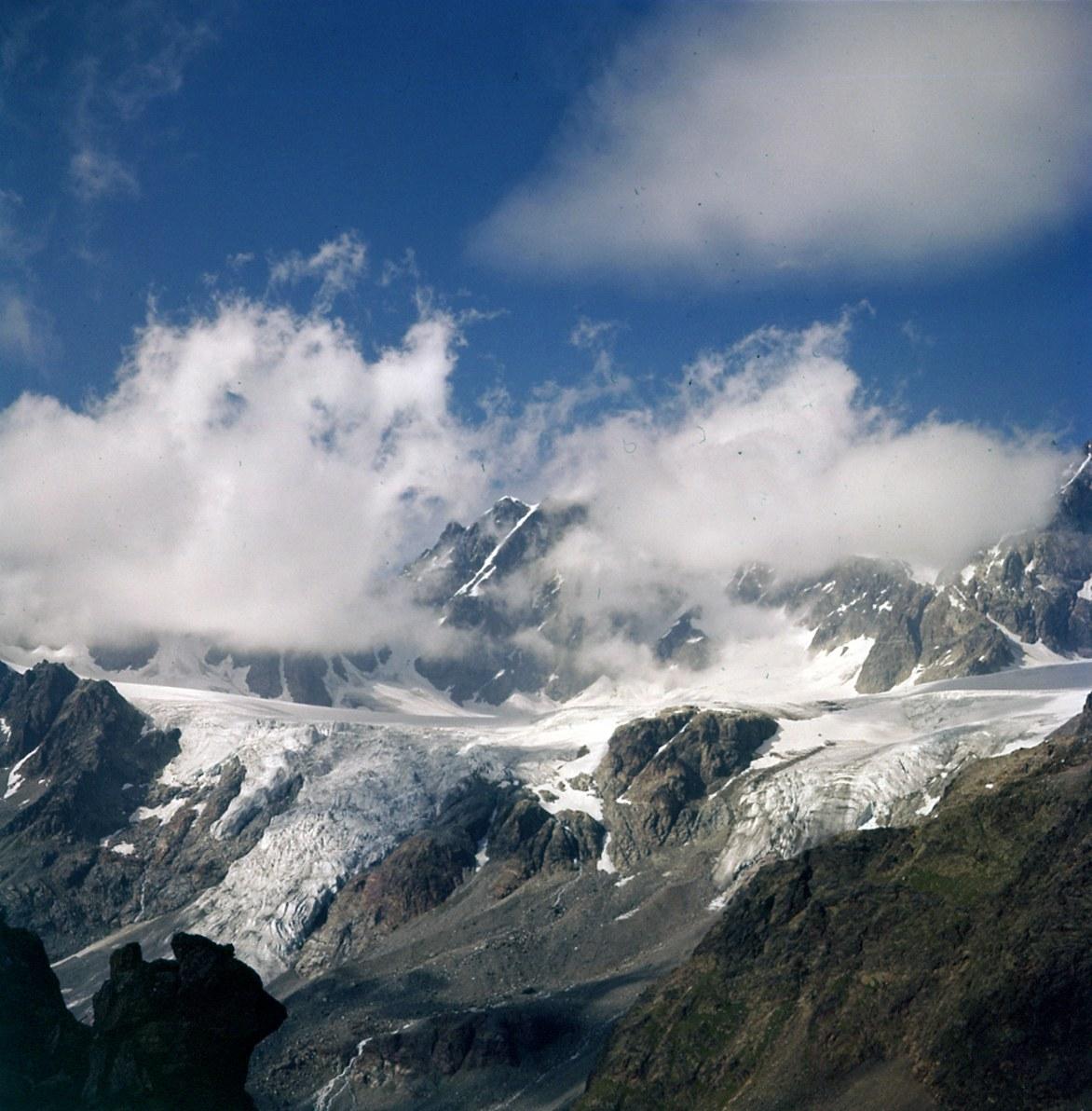
Mountain hut
Alpe Musella Mountain Hut
A plateau of pastures and larches at the foot of the Bernina glaciers, with a story of Alpini: an outing for the whole family, an hour from Campo Moro.
Alpe Ponte Mountain Hut
An alp at 1,500 metres with a unique panorama over Valmalenco: an easy walk, a Valtellina table and the dream of someone who grew up here.
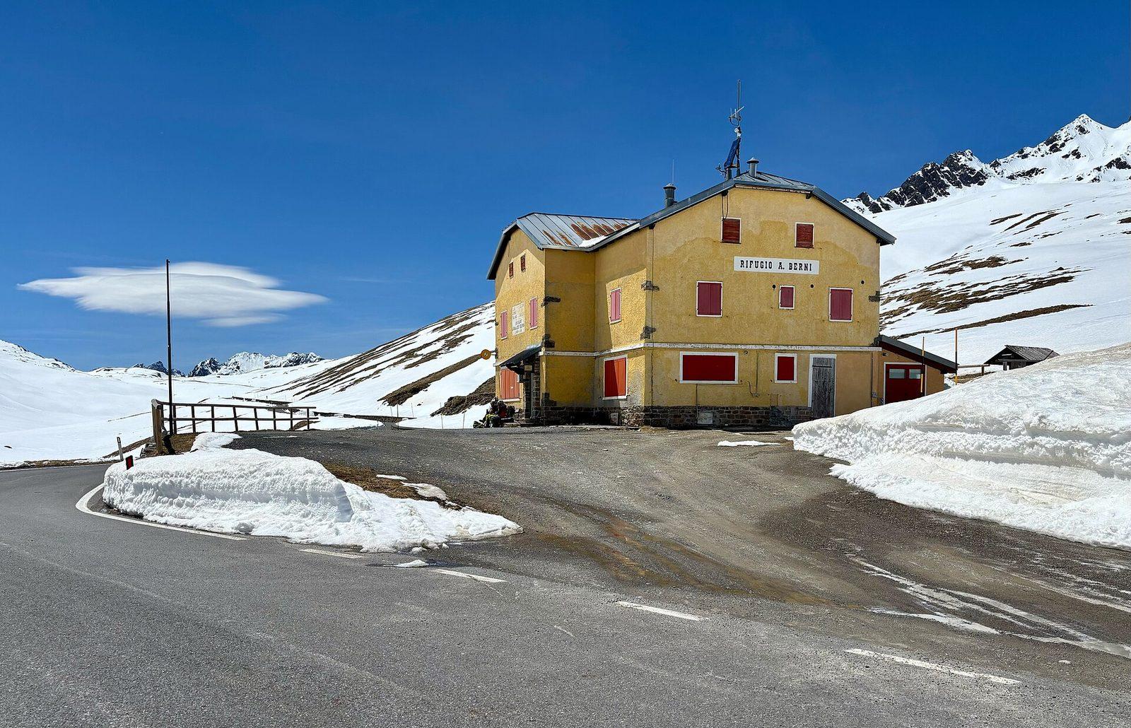
Mountain hut
Arnaldo Berni Mountain Hut
At 2,541 metres on the Gavia road, a hut with a view of the Ortles-Cevedale glaciers, named after an Alpini captain of the Great War.
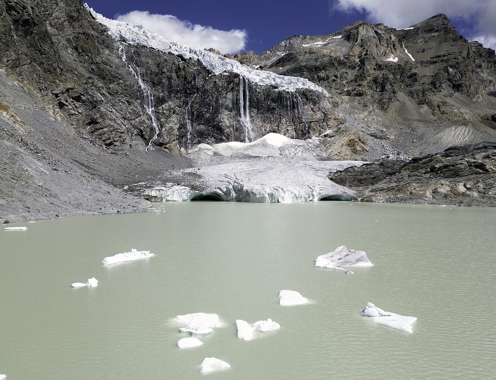
Mountain hut
Bignami Mountain Hut
Between the Fellaria glacier and the Alpe Gera dam, a hut born of a mother's love, reached by a comfortable path.
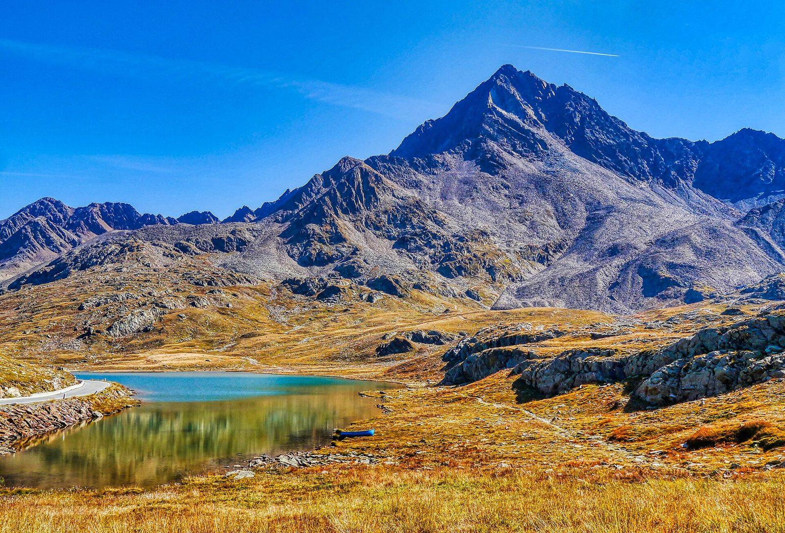
Mountain hut
Bonetta Mountain Hut
On the summit of the Gavia Pass, a family-run hut overlooking Lago Bianco, among cyclists, motorcyclists and the wind of the high mountains.
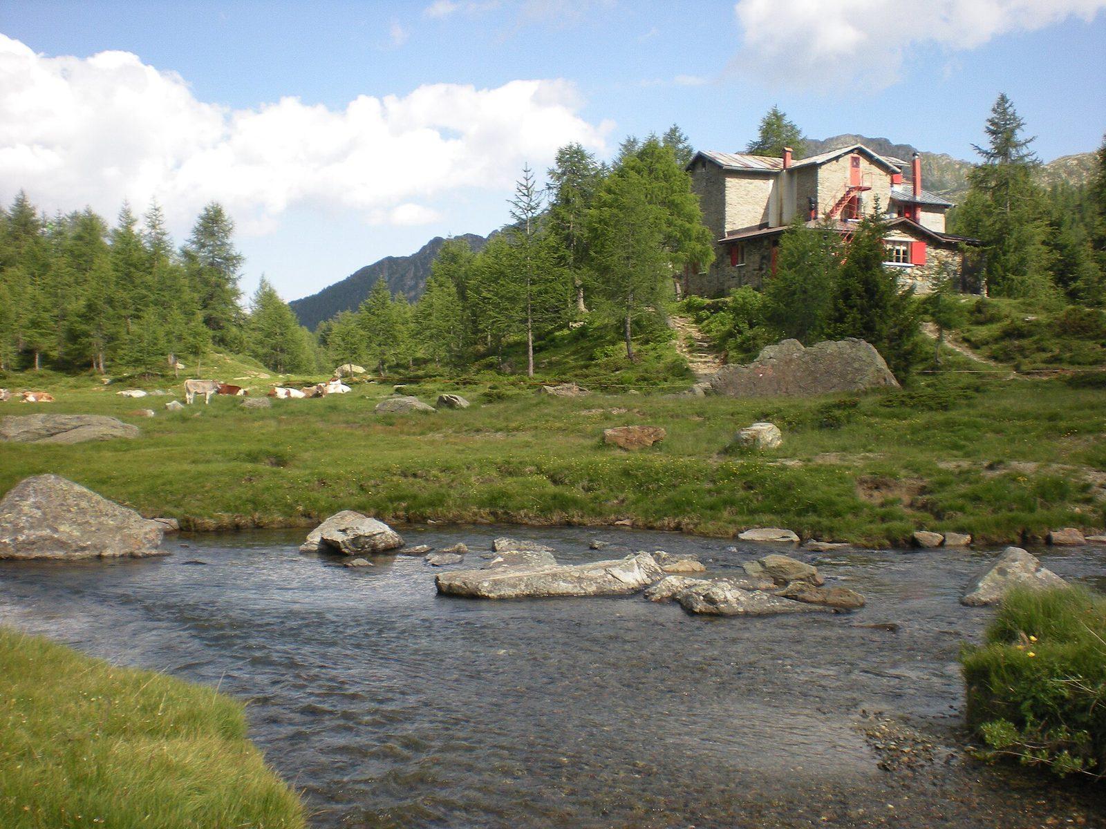
Mountain hut
Bosio Galli Mountain Hut
Between the Torreggio torrent and Alpe Airale, a CAI Desio hut dating from 1924, the starting point for the lakes and for Monte Disgrazia.
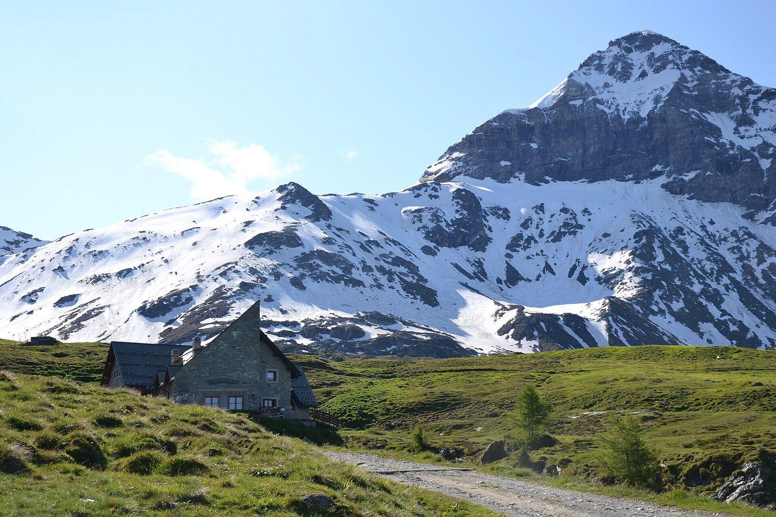
Mountain hut
Ca' Runcasch Mountain Hut
At the foot of the Pizzo Scalino, on the plateau of Alpe Campagneda: a hut open all year, with Valtellina cooking and snow until April.
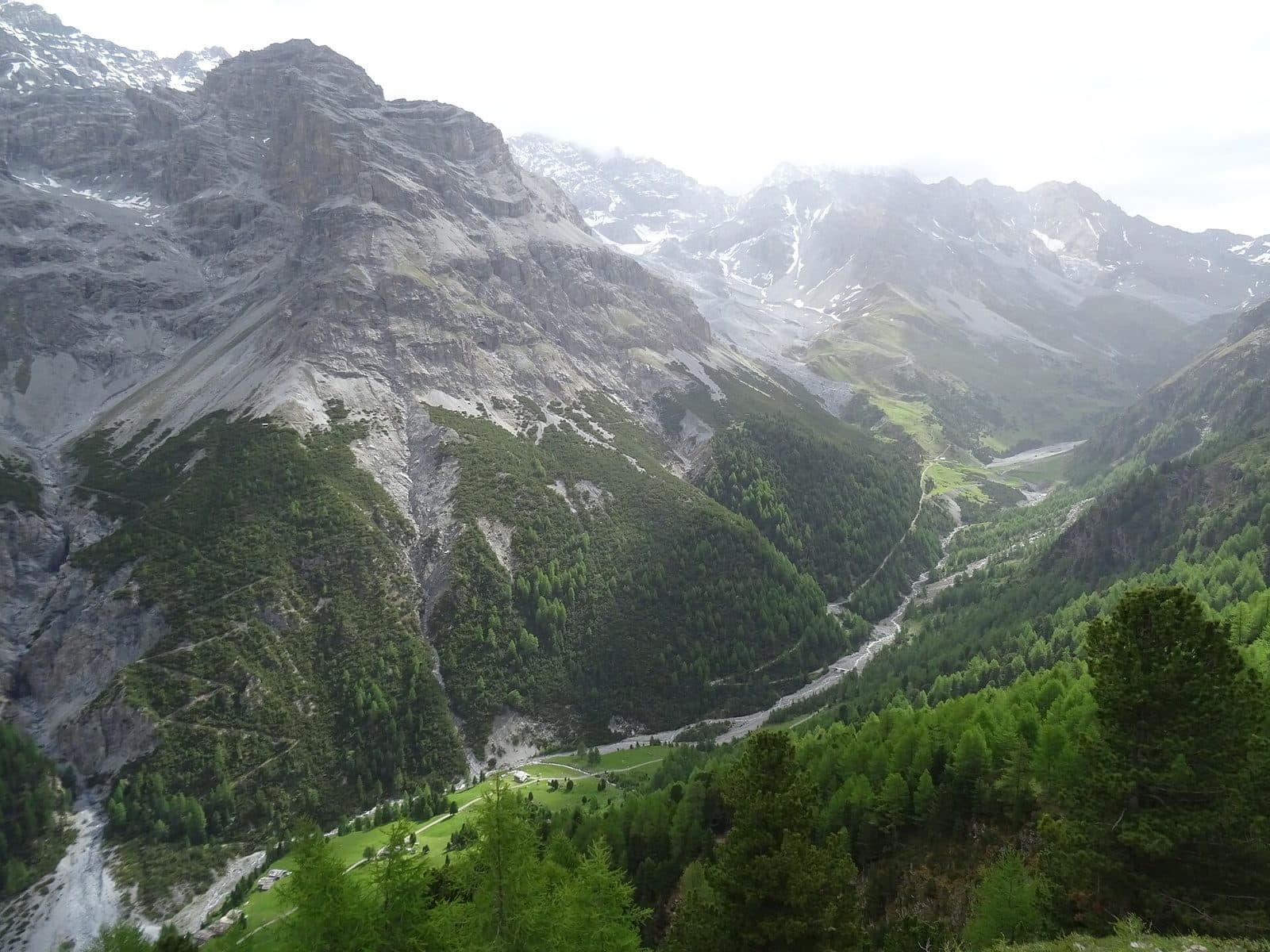
Mountain hut
Campo Mountain Hut
Halfway up the Val Zebrù, a wooden house with mementoes of the Great War, family cooking and the Gran Zebrù before your eyes.
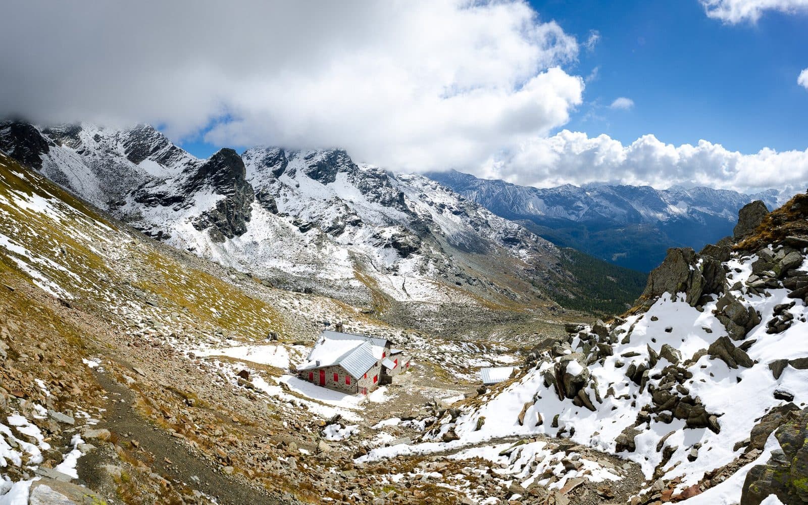
Mountain hut
Carate Brianza Mountain Hut
An "eagle's nest" at 2,636 metres beneath the Bocchetta delle Forbici, born in 1927 from a ruin found by a group of hikers from Brianza.
Casina di Piana Mountain Hut
At the mouth of the Val Piana, a hut run by volunteers, where every dish helps the missions in Latin America.
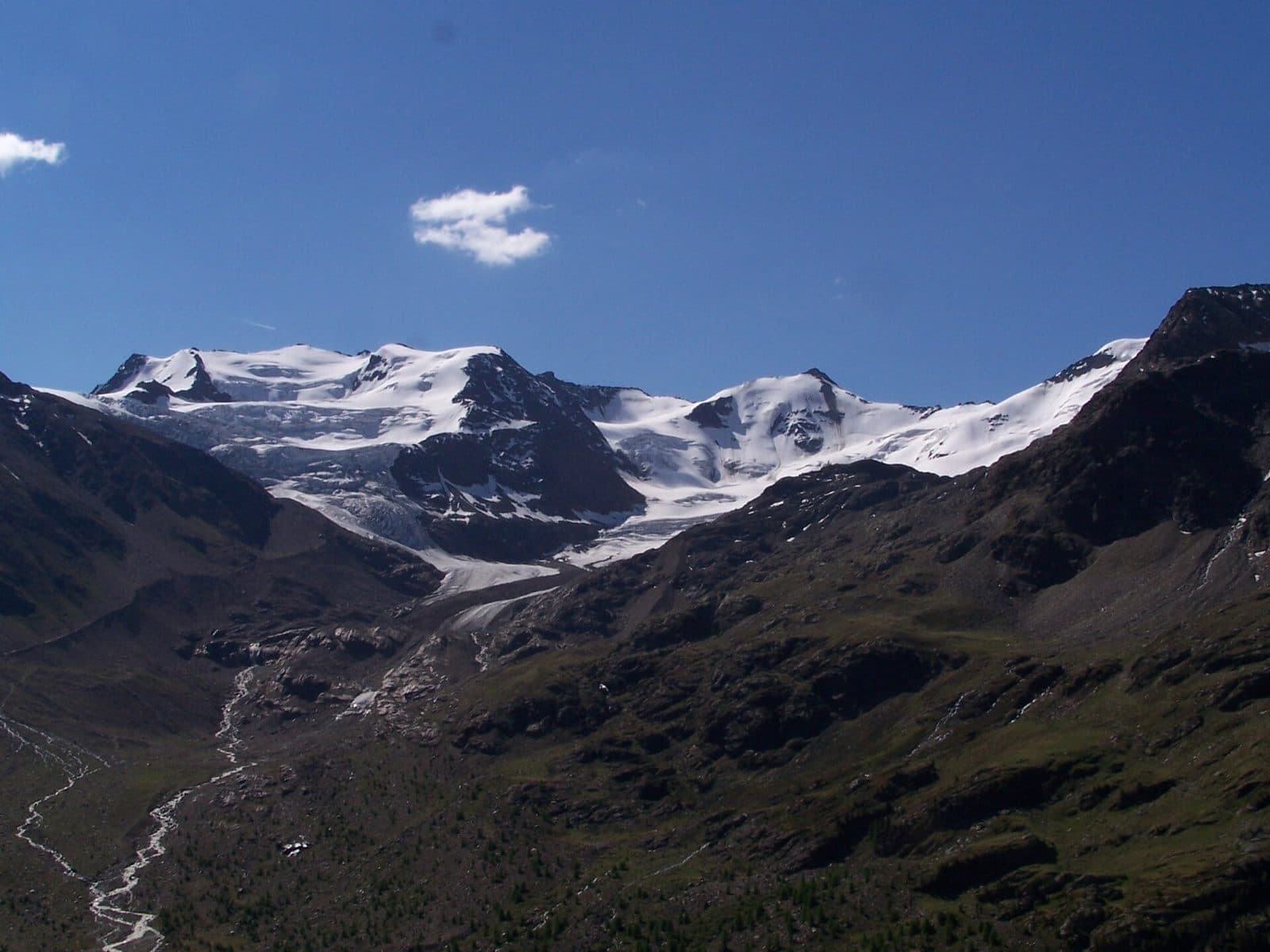
Mountain hut
Cesare Branca Mountain Hut
Facing the Forni glacier, in the heart of the Stelvio Park, a hut from 1934 born from the memory of a Milanese mountaineer.
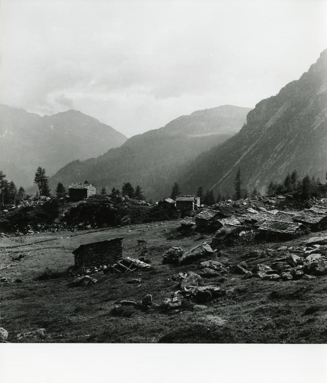
Mountain hut
Cesare Mitta Mountain Hut
On Alpe Musella, opposite its twin hut: a hut where you can sleep even with your dog, less than an hour from Campo Moro.
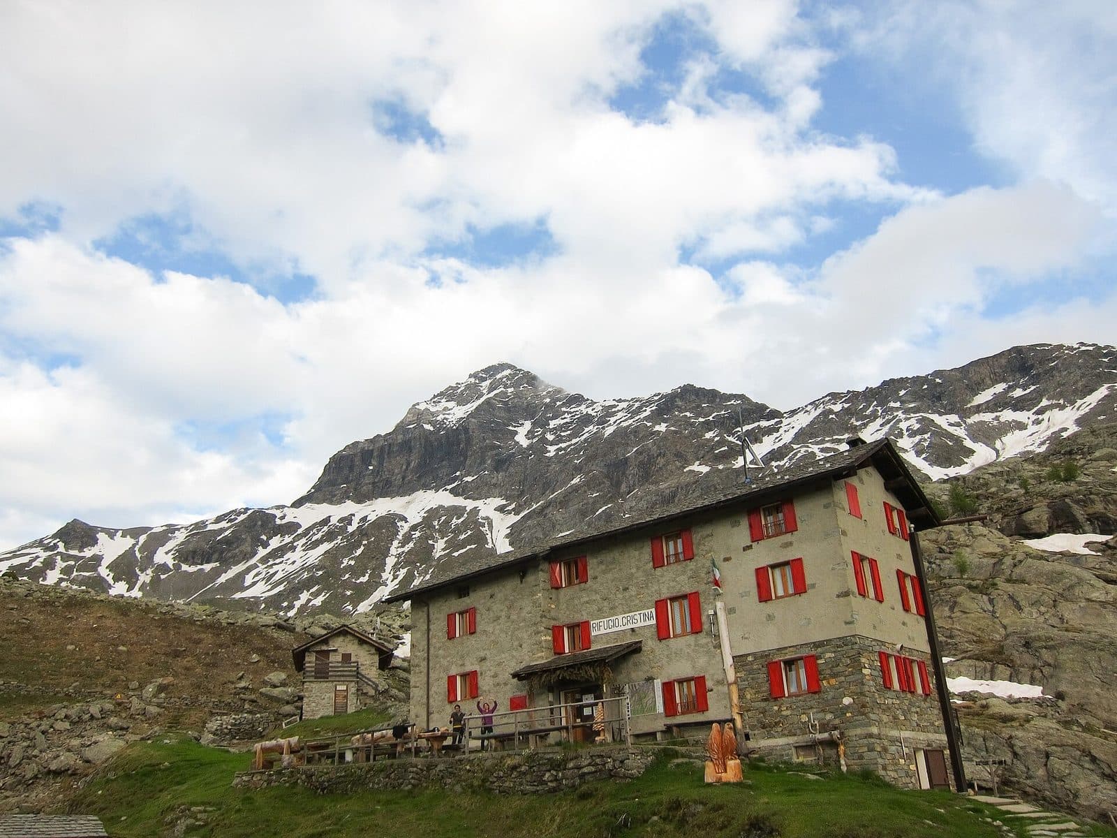
Mountain hut
Cristina Mountain Hut
On Alpe Prabello, beneath the Pizzo Scalino: a family hut run for four generations, an hour from Campo Moro.
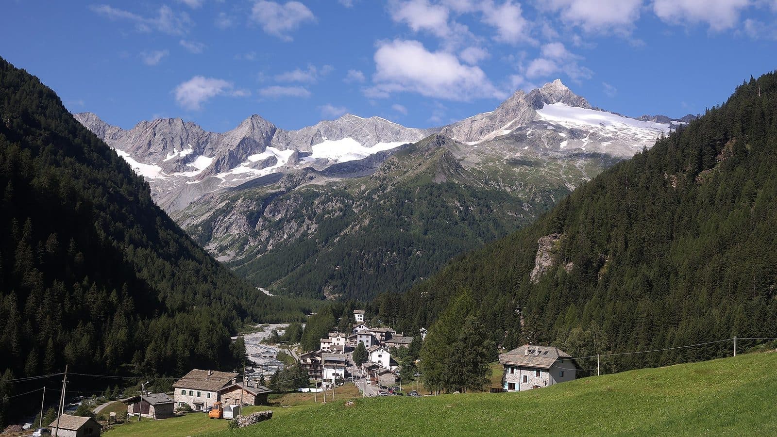
Mountain hut
Del Grande-Camerini Mountain Hut
A small hut at 2,580 metres with the finest view of the north face of Monte Disgrazia: run by volunteers of CAI Sovico, since 1937.
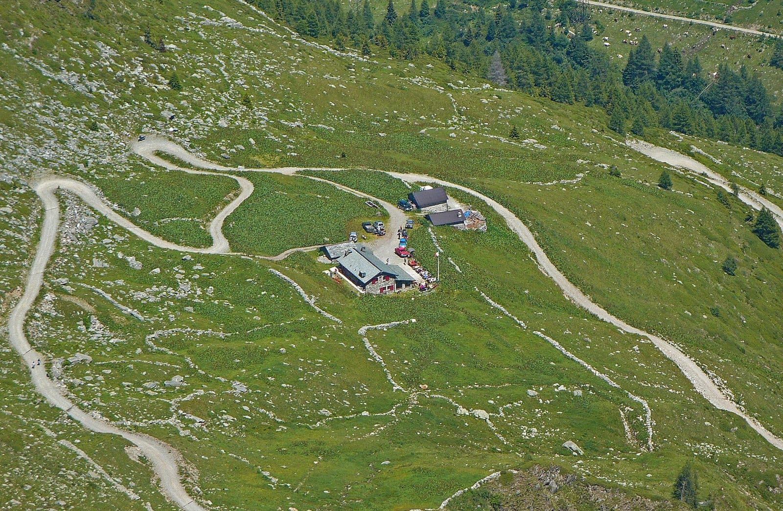
Mountain hut
Dordona Mountain Hut
On the border between Valtellina and Val Brembana, a new hut beside the trenches of the Cadorna Line, reached by off-road vehicle or on foot from Foppolo.
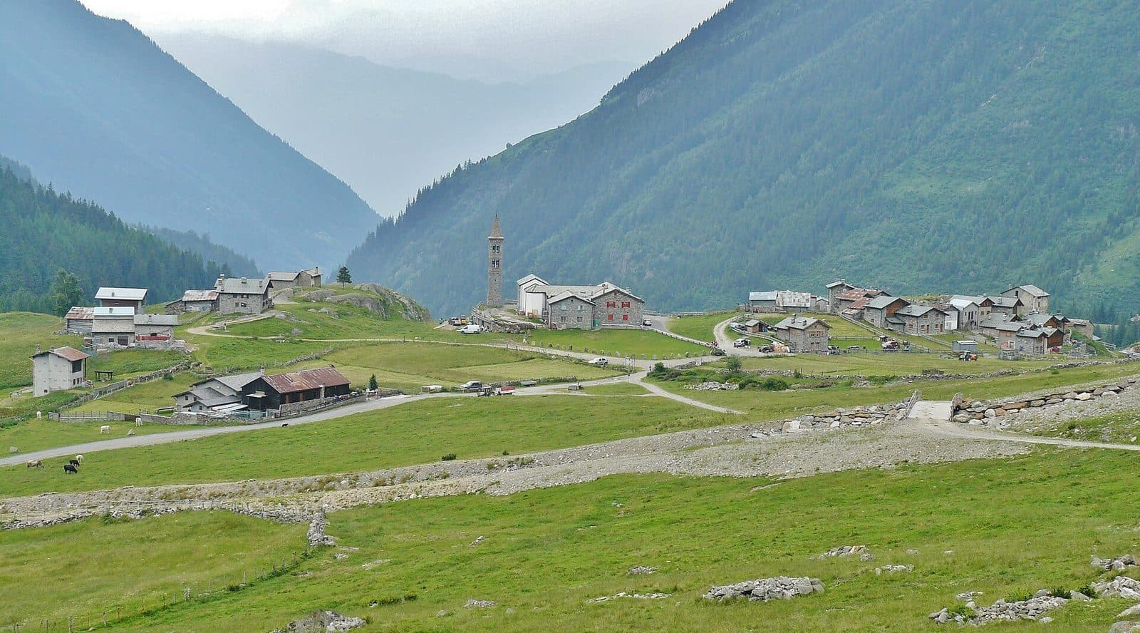
Mountain hut
Eita Mountain Hut
In the village of Eita, among stone houses and a bell tower, a hut run by volunteers at the gateway of the eastern Val Grosina and the Passo di Verva.
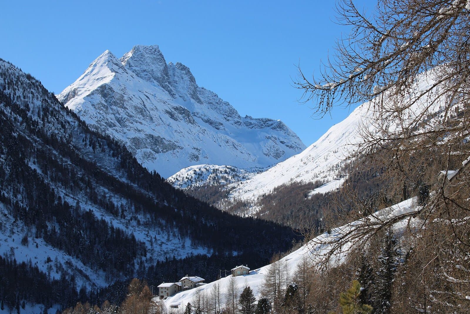
Mountain hut
Federico in Dosdè Mountain Hut
At 2,133 metres, in a bright hollow beneath the Corno di Dosdè, a CAI hut dedicated to a young climber, just where the Val Viola road ends.
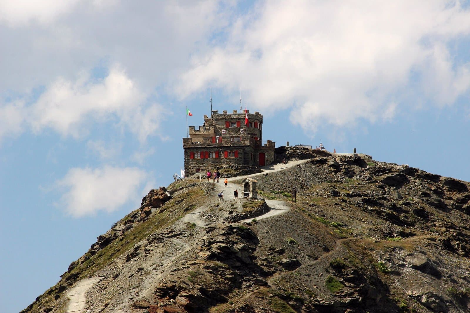
Mountain hut
Garibaldi Mountain Hut at the Stelvio
A small stone castle at 2,845 metres, on the peak of three languages: where Lombardy, South Tyrol and Switzerland meet, ten minutes on foot from the Stelvio Pass.
Mountain hut
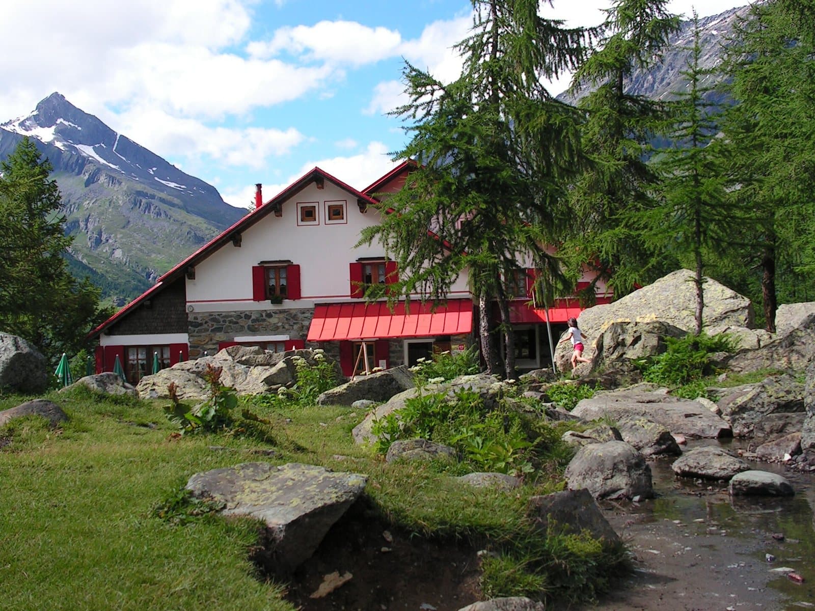
Gerli-Porro Mountain Hut
At 1,965 metres, among larches and boulders, a CAI Milano hut with the Ventina glacier before your eyes, in the heart of the Disgrazia group.
Mountain hut
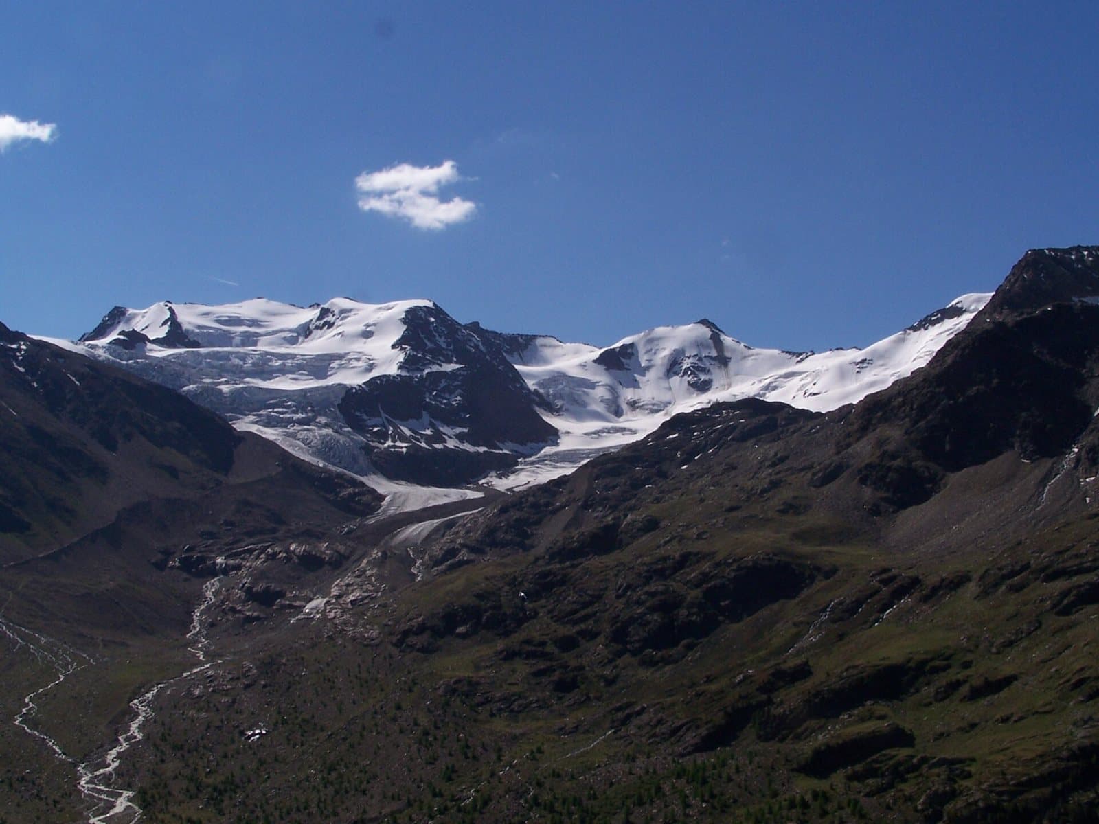
Forni Glacier Mountain Hut
At 2,178 metres, at the head of the Forni Valley, a hut-hotel you can reach by car, on foot or by bike, facing the glacier and the peaks of the Ortles-Cevedale.
Mountain hut
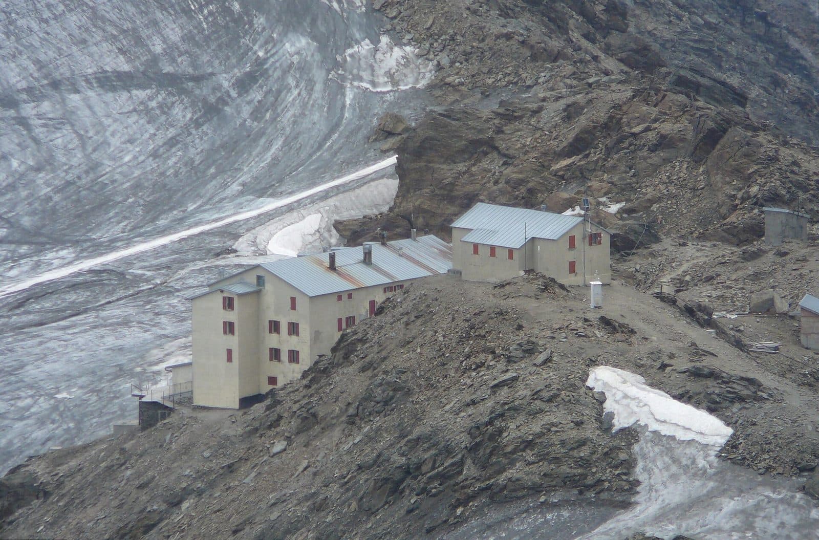
Gianni Casati Mountain Hut
At 3,269 metres, on the border between Lombardy and South Tyrol, the highest hut of the Valfurva, now closed to be rebuilt: the emergency shelter remains open.
Mountain hut
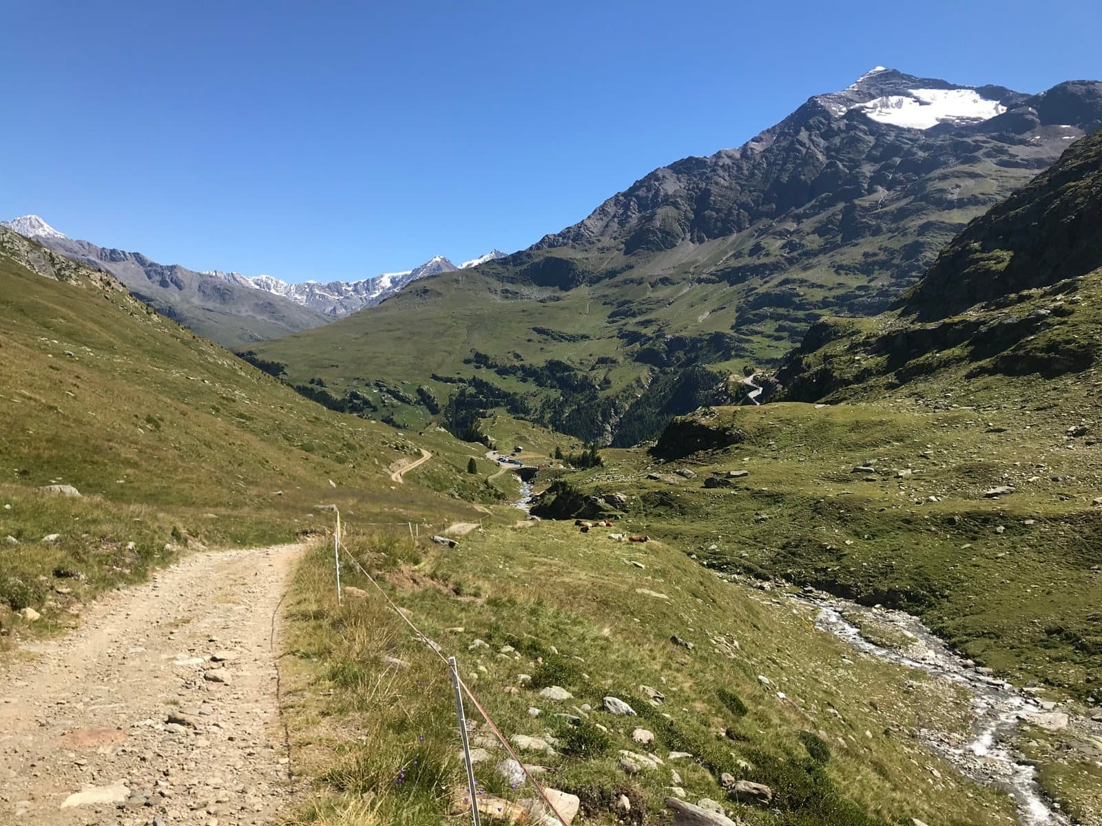
La Baita Mountain Hut (Val di Rezzalo)
At 1,860 metres, in a panoramic position at San Bernardo, a simple and welcoming hut at the head of the Val di Rezzalo, an hour's walk from the Fumero car park.
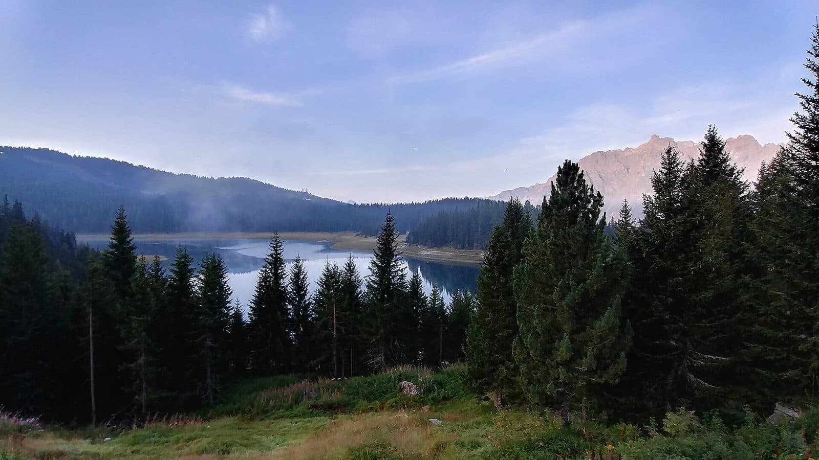
Mountain hut
Lago Palù Mountain Hut
A hut of wood and stone on the shore of a glacial lake, among larches and peaks: Alpe Palù is the gentlest way into the high Valmalenco.
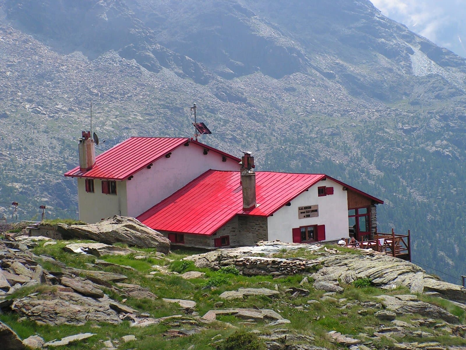
Mountain hut
Longoni Mountain Hut
At 2,450 metres, on the ridge of Sassa d'Entova, a CAI Seregno hut with a view over the southern side of the Bernina, two and a half hours from Chiareggio.
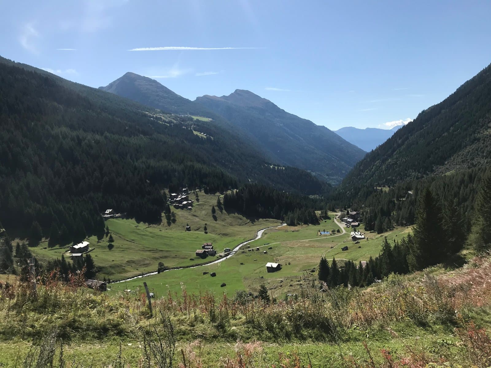
Mountain hut
Malghera Mountain Hut
At 1,964 metres, in a quiet alpine pasture dominated by the sanctuary's bell tower, a hut at the head of the western Val Grosina, at the start of the Valle di Sacco.
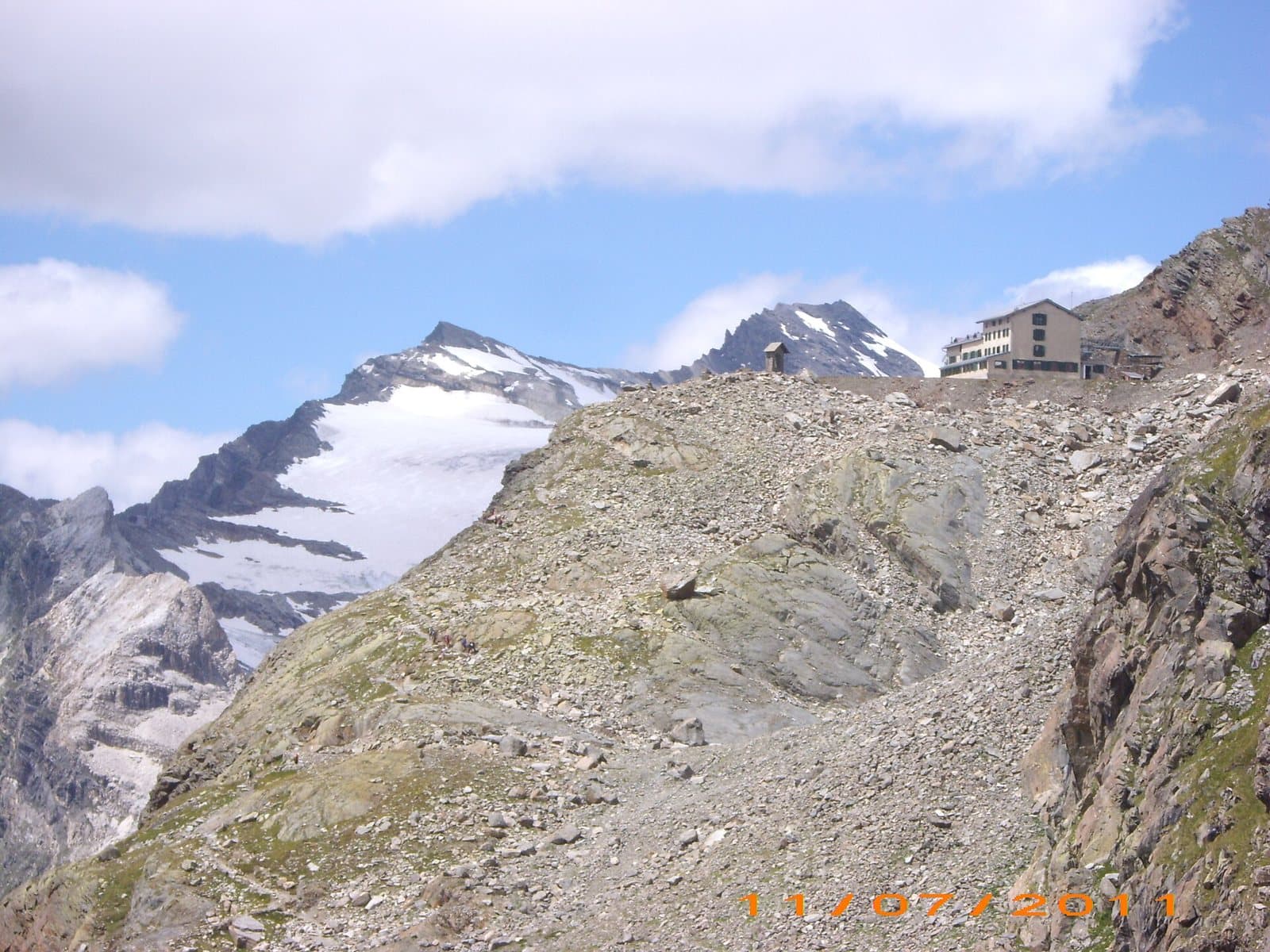
Mountain hut
Marinelli Bombardieri Mountain Hut
At 2,813 metres, on a rocky spur in the upper Scerscen valley, the large CAI Valtellinese hut with the glacier and the peaks of the Bernina before you.
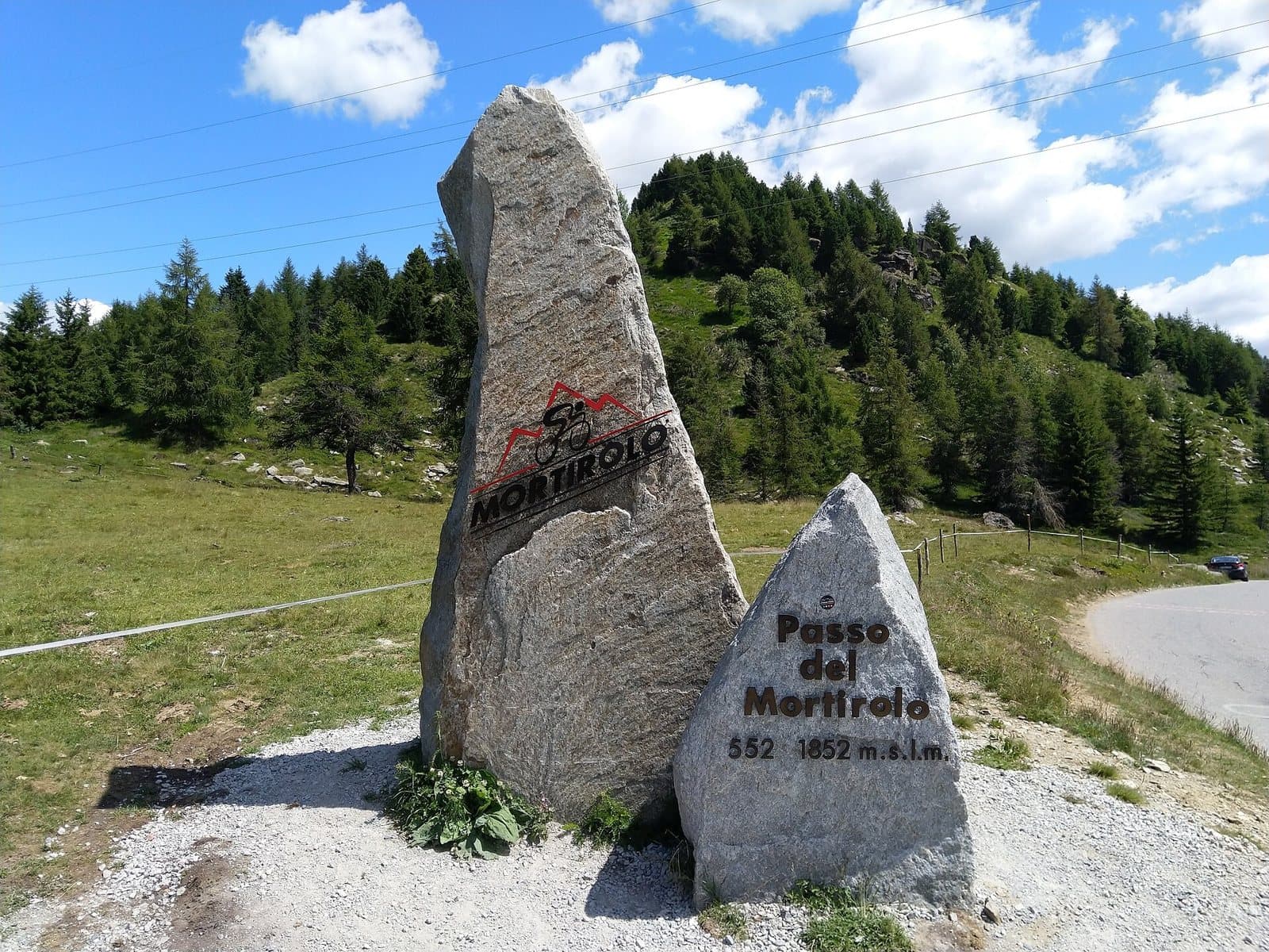
Mountain hut
Mortirolo Antonioli Mountain Hut
A renovated old alpine dairy, a few steps from the Mortirolo Pass: home cooking, a family welcome and a grassy hollow with a small lake.
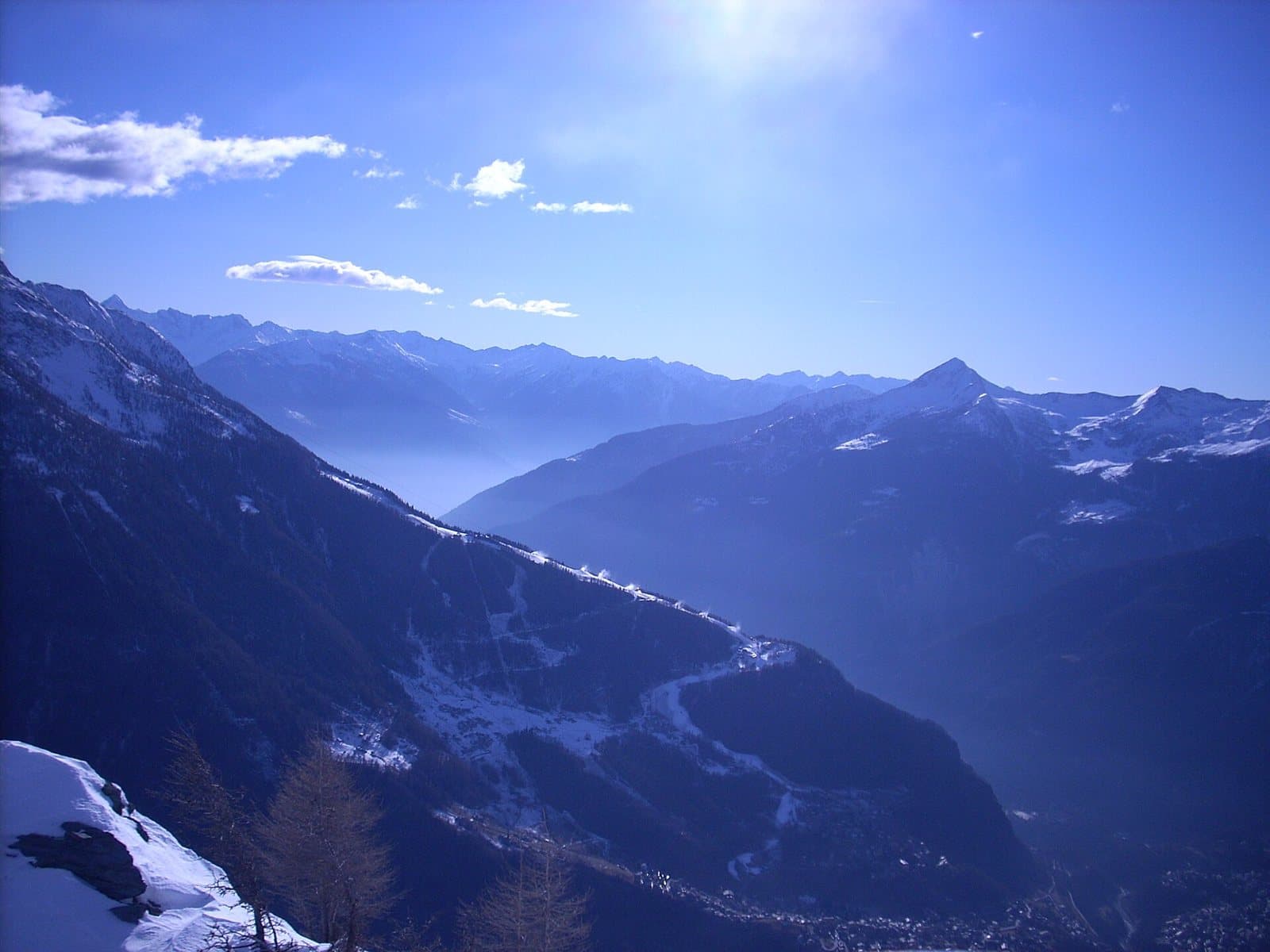
Mountain hut
Motta Mountain Hut
At 2,142 metres, on a panoramic terrace beside the slopes, a hut for summer and winter a few minutes from the Snow Eagle cable car at Chiesa in Valmalenco.
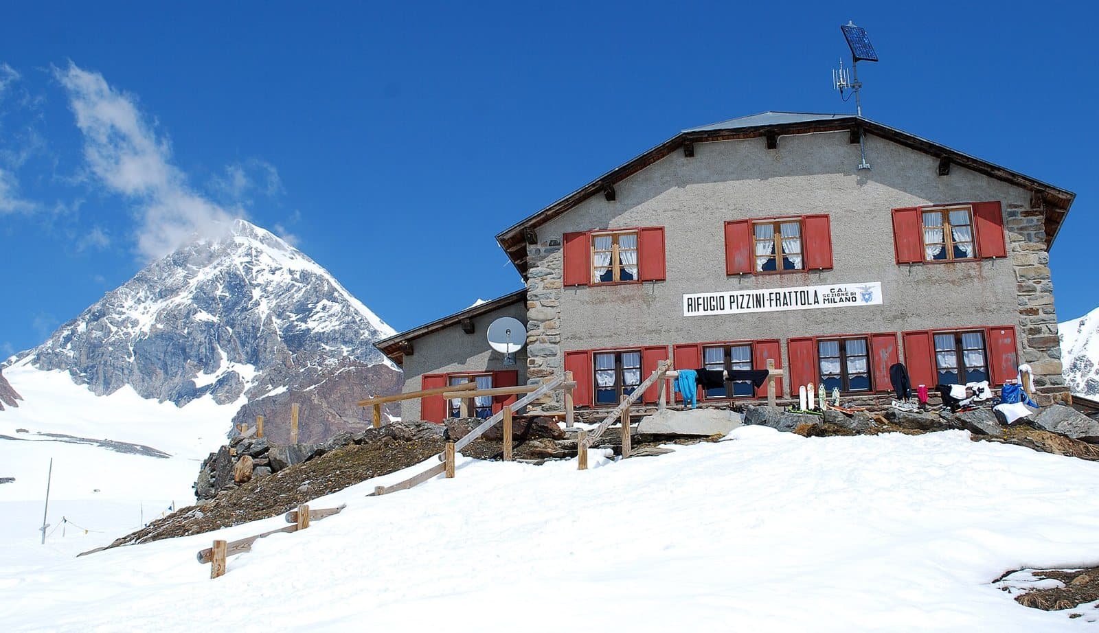
Mountain hut
Pizzini-Frattola Mountain Hut
At 2,706 metres, at the head of the Val Cedèc, a large CAI Milano hut facing the Gran Zebrù and the Cevedale glacier, with a history born from the Great War.
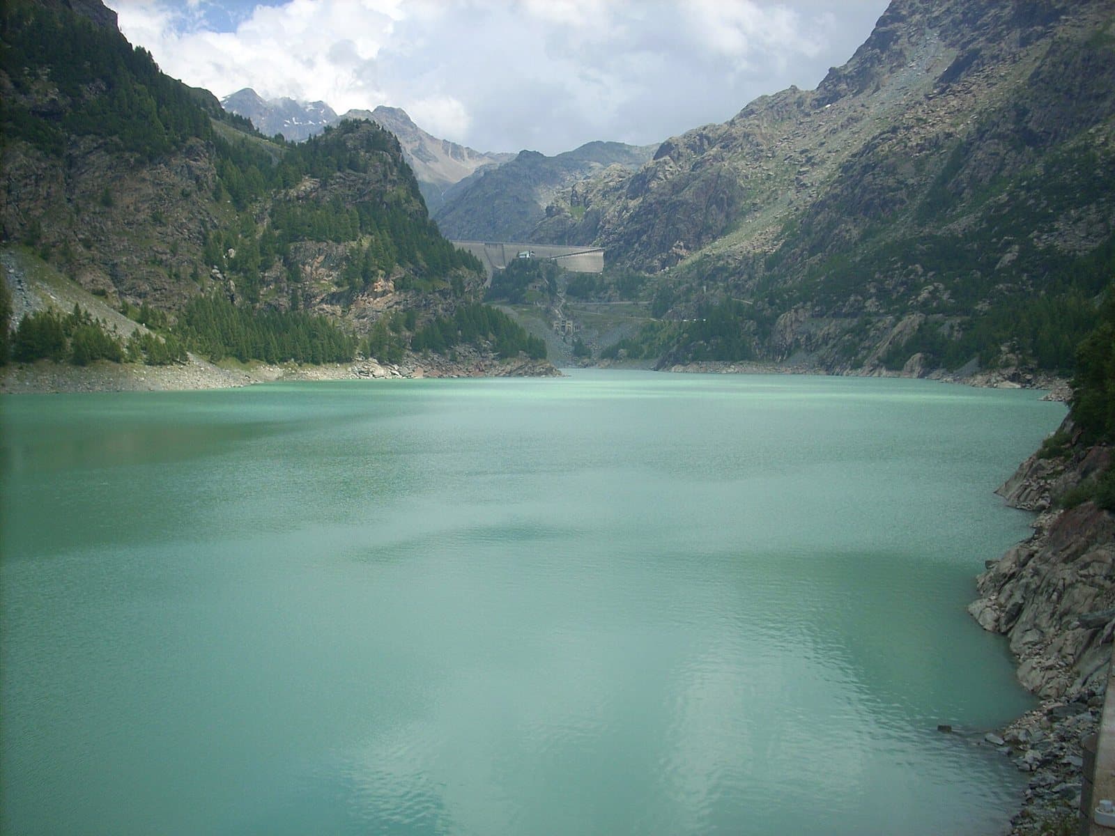
Mountain hut
Poschiavino Mountain Hut
At almost 2,000 metres, beside the Campo Moro dam and the green waters of the lake, a family-run hut below the peaks of the Bernina.
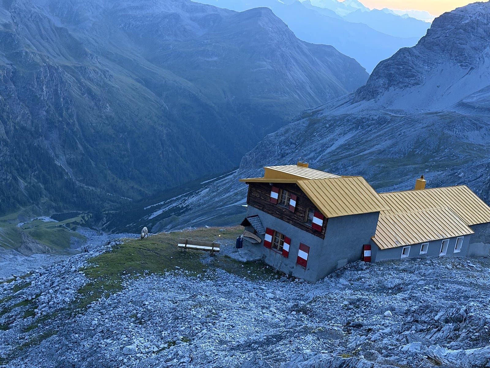
Mountain hut
Quinto Alpini Mountain Hut
At 2,877 metres, on a rocky edge in the heart of the Val Zebrù, with the glacier three minutes away and the great peaks of the Ortles-Cevedale before you.
Mountain hut
Schiazzera Mountain Hut
At 2,079 metres, at the threshold of the Val Saiento, a former Guardia di Finanza border barracks turned into a volunteer-run hut, a few minutes from the car park.
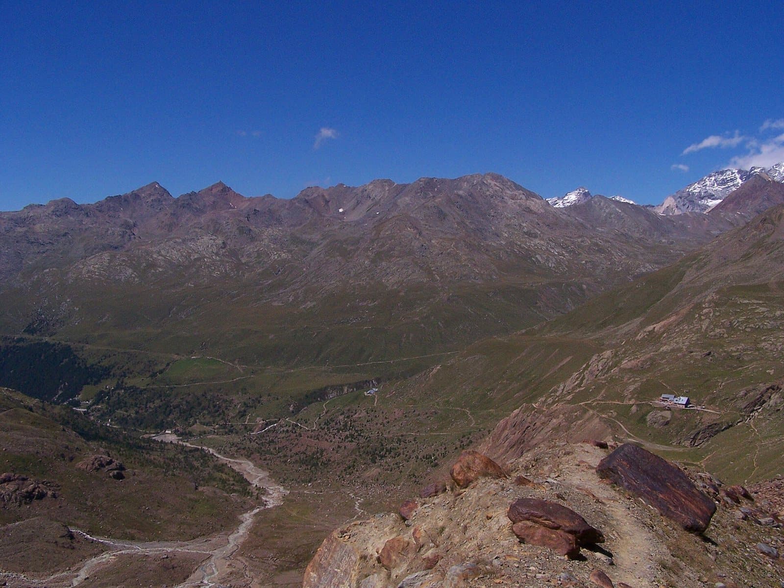
Mountain hut
Stella Alpina Mountain Hut
A stop with bar, restaurant and rooms along the Forni Valley road, shortly before the glacier, in the heart of the Stelvio National Park.
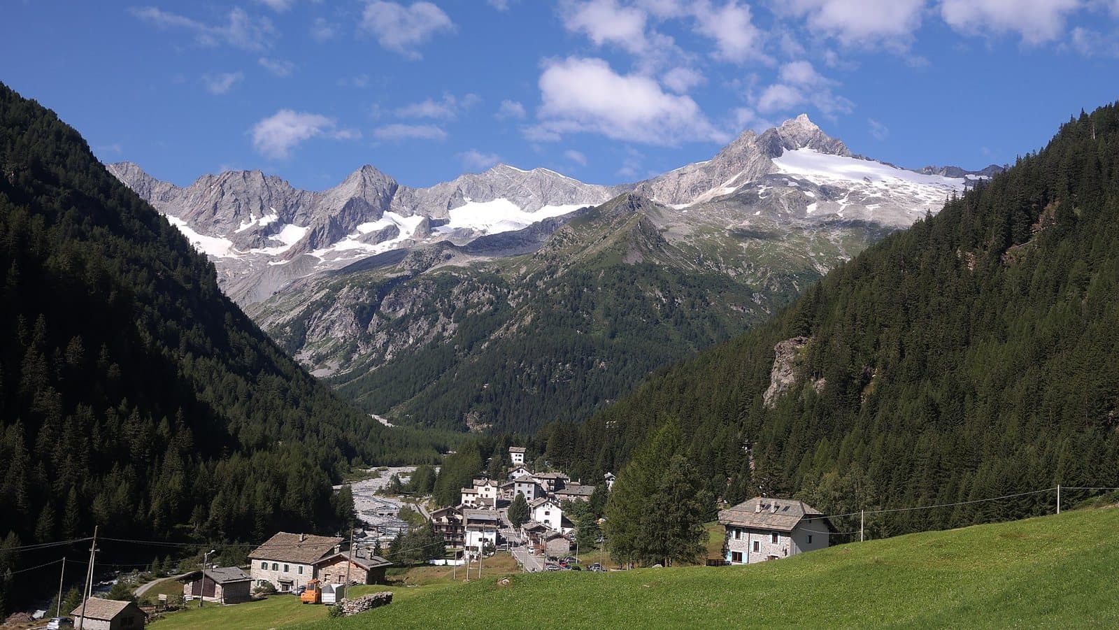
Mountain hut
Tartaglione-Crispo Mountain Hut
At 1,800 metres, at the Alpe Laresìn, at the entrance of the Val Sissone, a hut in the woods with a view of Monte Disgrazia, 45 minutes from Chiareggio and suitable for everyone.
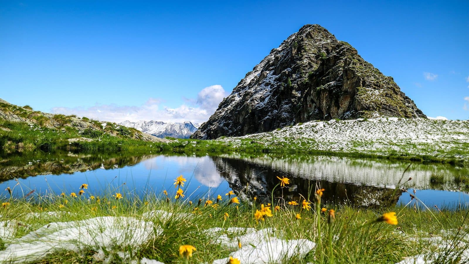
Mountain hut
Valtellina Mountain Hut
At 1,920 metres, in the green hollow of the Carègia del Palabione above Aprica, the CAI Aprica hut reborn after the 2010 fire, in the Orobie Valtellinesi Park.
Mountain hut
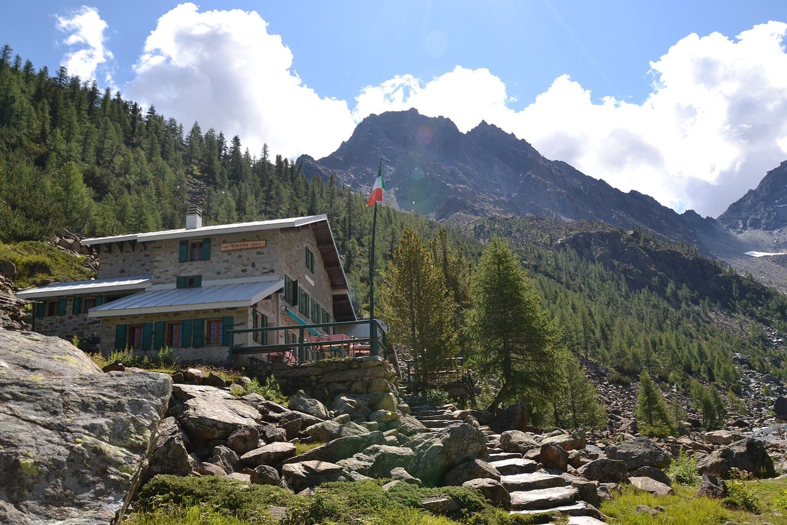
Ventina Mountain Hut
At 1,965 metres, at the Alpe Ventina, a few steps from the Gerli-Porro, a family-run hut with a view of the glacier and the peaks of the Disgrazia.
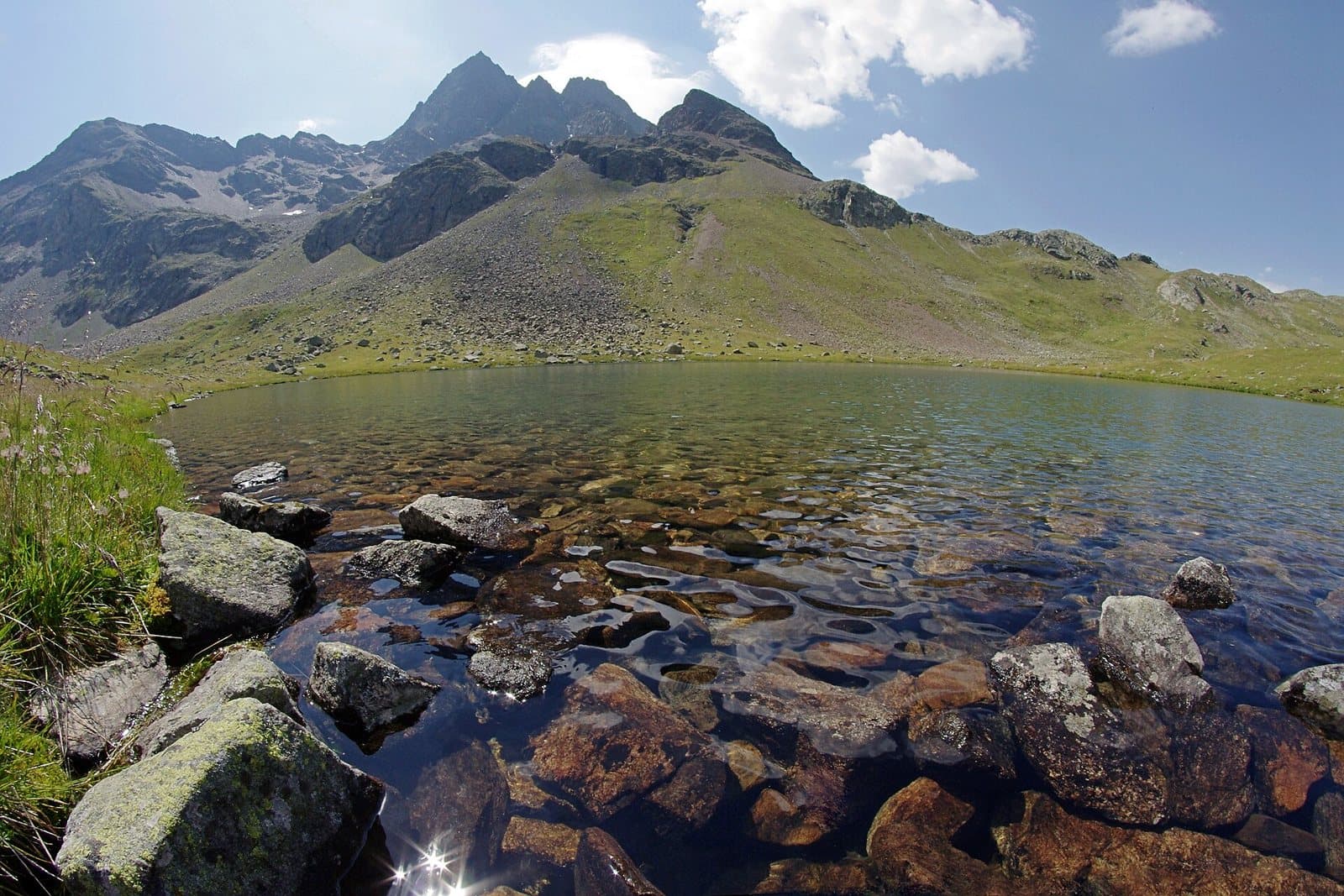
Mountain hut
Viola Mountain Hut
At 2,314 metres, just below the Val Viola Pass, in a plain of small lakes at the foot of the Corno di Dosdè, an old border barracks turned into a hut.
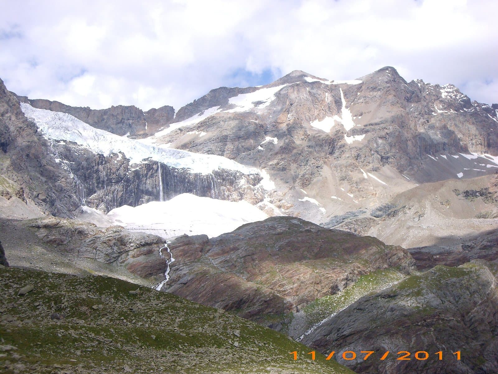
Mountain hut
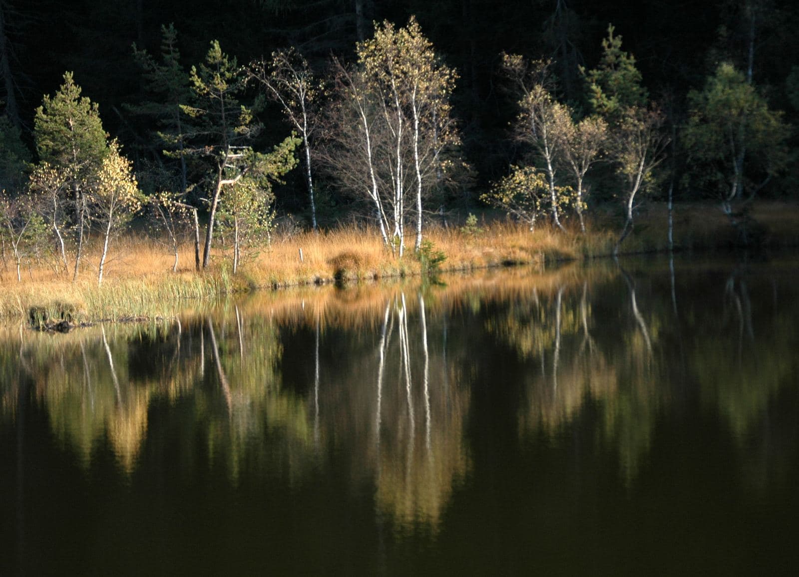
Zoia Mountain Hut
At 2,021 metres, at Campo Moro, beside the lake and the dam, a hut a few minutes from one of the finest crags in the Alps, with a sauna to relax in.
Nature reserve
Pian di Gembro Nature Reserve
A peat bog born of glaciers, at 1,350 metres above Aprica: wooden walkways, carnivorous plants, amphibians to discover and the gateway to the pastures of Trivigno.
MTB route
Sentiero Valtellina
The silver thread of the valley floor: a cycle route of about 114 kilometres from Bormio to Colico, almost all flat, with Tirano along the way. Ideal for a first day in the saddle, or for any family.
Road route
Sentiero Valtellina from Tirano to Sondrio
A relaxed 61-kilometre ride, with no significant climbs, along the Sentiero Valtellina from Tirano to Sondrio: for families, but also as a workout.
Mountain passes and springs
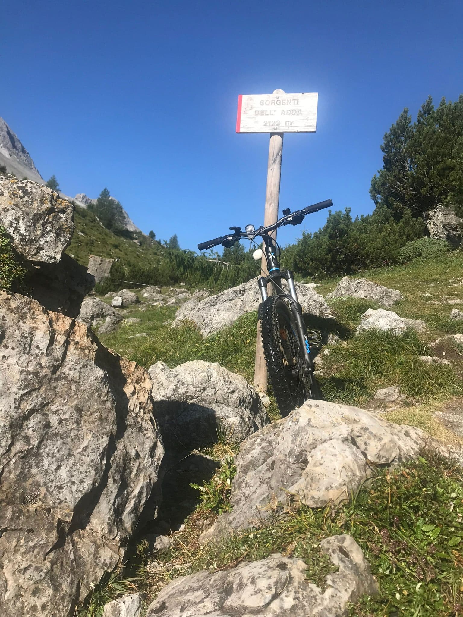
Sources of the Adda
Where a thread of icy water leaves the rock and begins a 313-kilometre journey: a walk in Val Alpisella, among larches, little lakes and marmots, to the birthplace of the river that makes Valtellina.
Road route
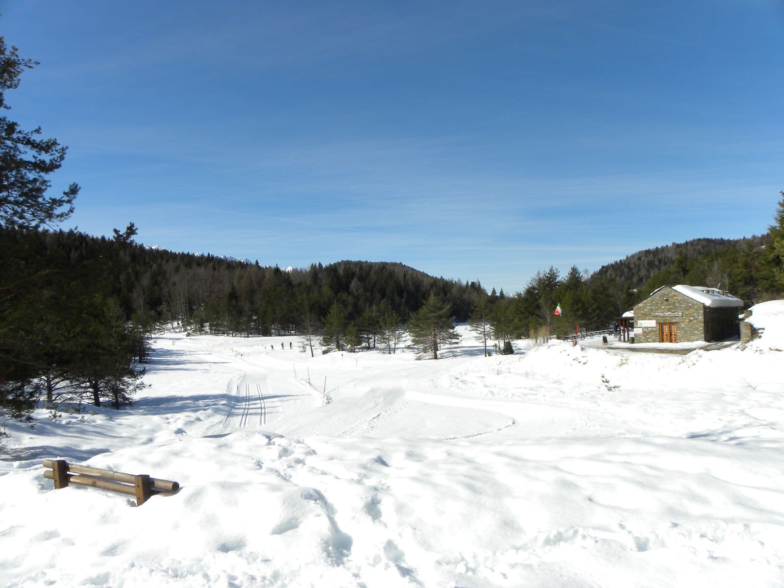
Tirano-Aprica-Trivigno
From Tirano to Trivigno, the alp of Tirano at about 1,800 metres, via Aprica and the Pian di Gembro Nature Reserve: 43 kilometres, with the option of carrying on towards the Mortirolo.
Road route
Tirano-Carona: the Orobie side
A beautiful and little-known 43-kilometre route through the woods of the Orobie side from Stazzona to Carona, returning on the Sentiero Valtellina.
Road route
Tirano-Mortirolo Pass from Mazzo di Valtellina
From Tirano to the Mortirolo Pass climbing from Mazzo di Valtellina, the toughest side, and descending towards Tiolo: 46 kilometres and about 1,450 metres of ascent.
Road route
Tirano-Mortirolo Pass from Tiolo
From Tirano to the Mortirolo Pass climbing from Tiolo, above Grosio, and descending to Mazzo di Valtellina: 49 kilometres and about 1,470 metres of ascent.
Road route
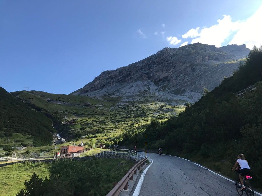
Tirano-Stelvio Pass
From Tirano to the legendary Stelvio Pass: 123 kilometres and over 2,500 metres of ascent, with the gentle climb along the Sentiero Valtellina as far as Bormio.
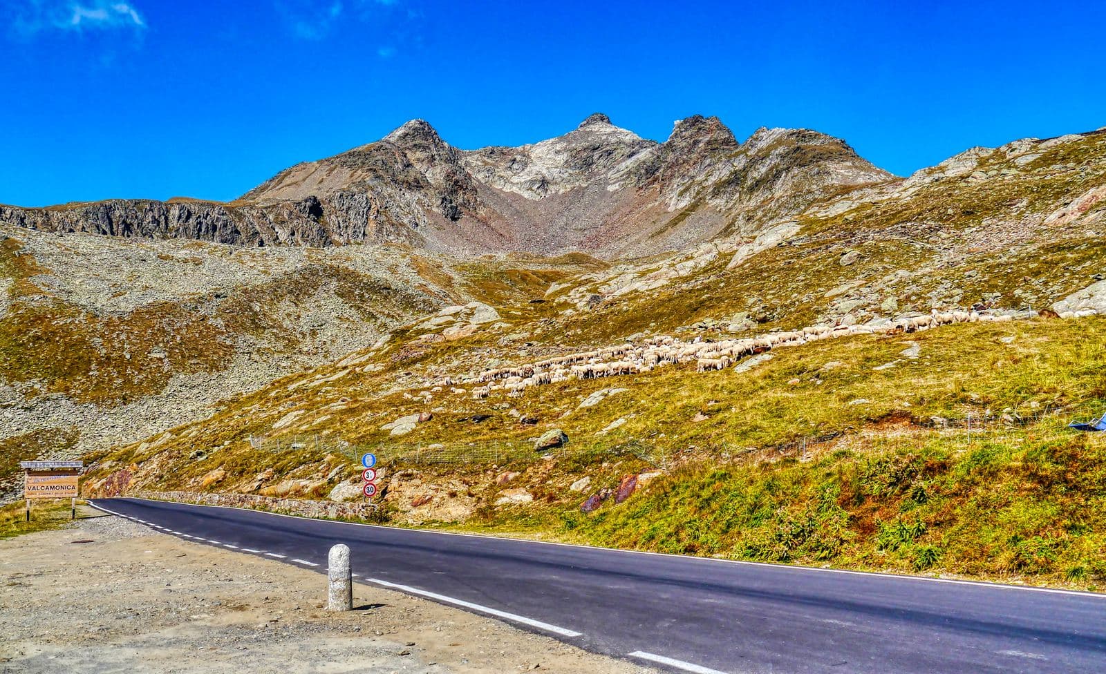
Road route
Tirano-Gavia Pass
From Tirano to another legendary climb, the Gavia Pass: 131 kilometres, over 2,400 metres of ascent, with a gentle start through the Alta Valle and Bormio.
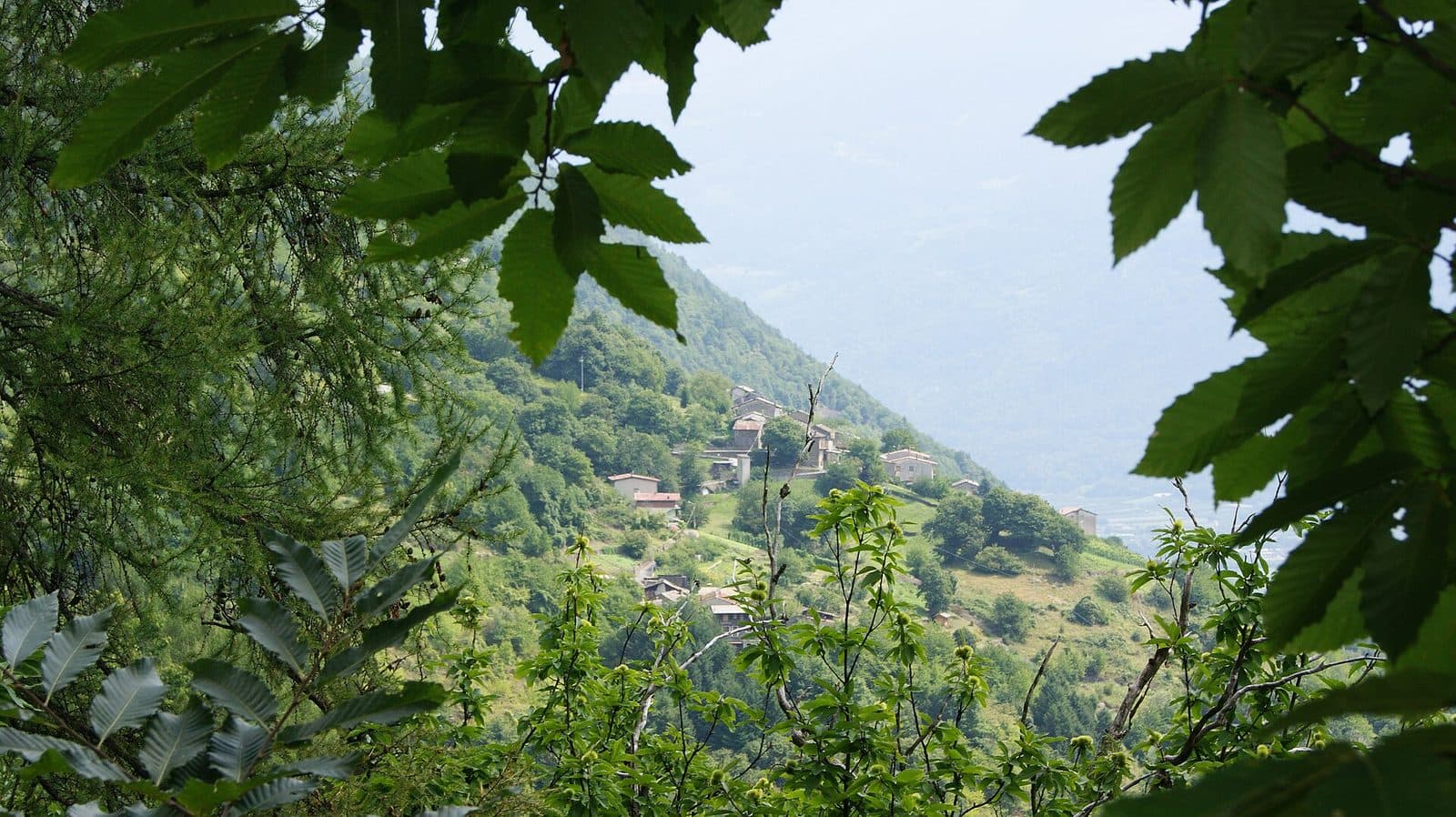
Trekking route
Tirano-Sasso del Gallo-San Romerio
An all-day route for those with good athletic preparation: from Tirano to the old Sasso del Gallo barracks, across the Swiss border, to the San Romerio viewpoint over the Val Poschiavo.
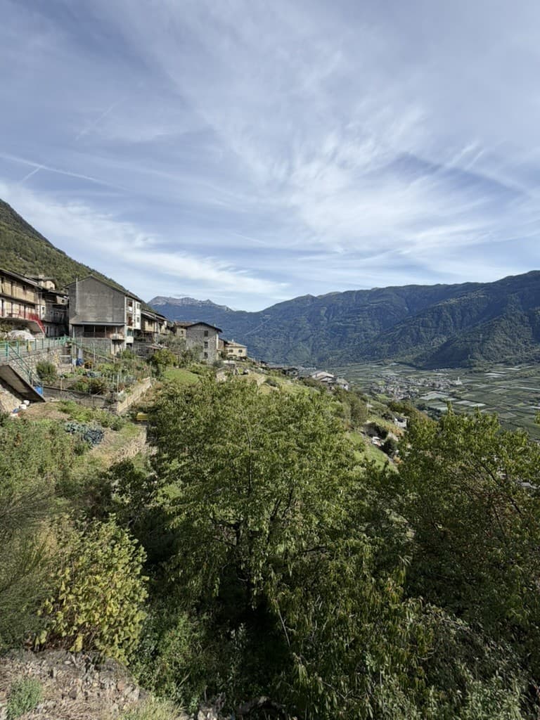
Trekking route
Tirano-Sasso del Gallo-Smugglers' Path loop
A path for those with athletic preparation: from Tirano to the old Sasso del Gallo barracks, then the Smugglers' Path, Baruffini, Roncaiola and the return along an old mule track.
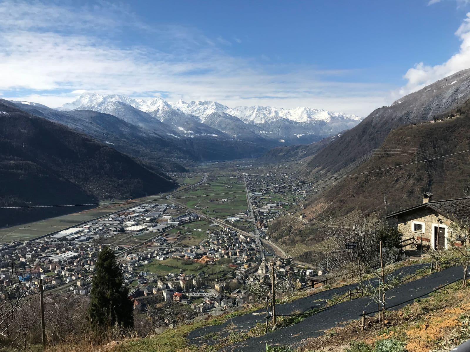
Road route
Tirano-Sondrio: the Wine Road and the Sentiero Valtellina
One of the most beautiful cycling routes in the Valtellina: 63 kilometres between Tirano and Sondrio, out on the wine road and back on the Sentiero Valtellina.
Road route
Tirano-Torri di Fraele and Cancano Lakes
A full day in the saddle: 115 kilometres from Tirano to the Torri di Fraele and the Cancano Lakes, returning via Isolaccia, Bormio and Grosio.
MTB route
The Aprica trails: Magnolta, Gembro, Valentina, Alpini
A web of marked trails around Magnolta, Palabione and the Val Sorda: the Magnolta Trail, the Gembro, the Valentina and the Alpini Trail, a few kilometres each, to choose the ride that fits.
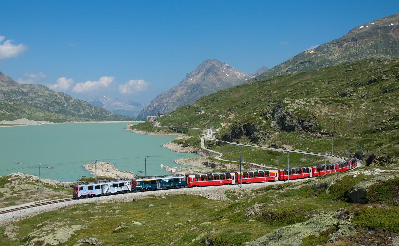
Scenic railway
Bernina Red Train
From 429 to 2,253 metres in two and a half hours: the highest metre-gauge railway in the Alps links the palms of Tirano to the glaciers of the Engadine, a UNESCO World Heritage Site since 2008. A journey to enjoy with your nose pressed to the window.
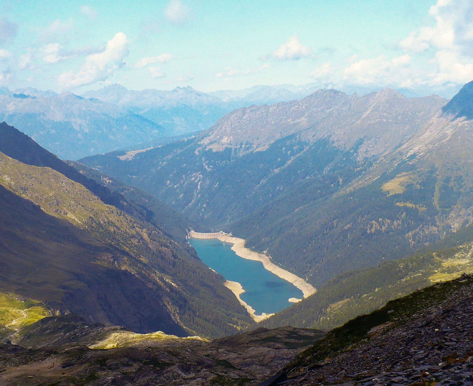
Valley
Val Belviso
The valley “of fine appearance”: the longest of the Orobic valleys, with a great alpine lake, old iron mines, passes leading to Val di Scalve and woods where silence is the rule.
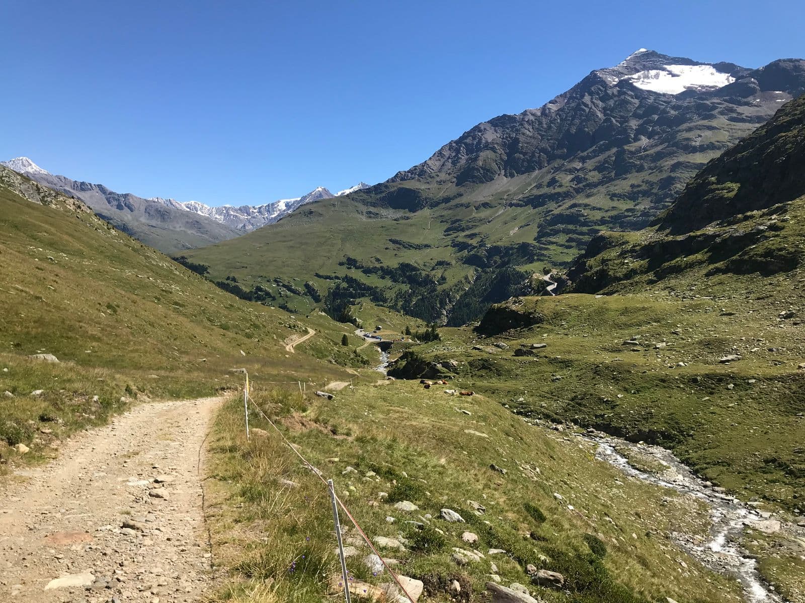
Valley
Val di Rezzalo
The secret valley above Sondalo: thirteen kilometres in the Stelvio Park, among firs, stone huts, a 17th-century chapel and the roaring of the stags in autumn.
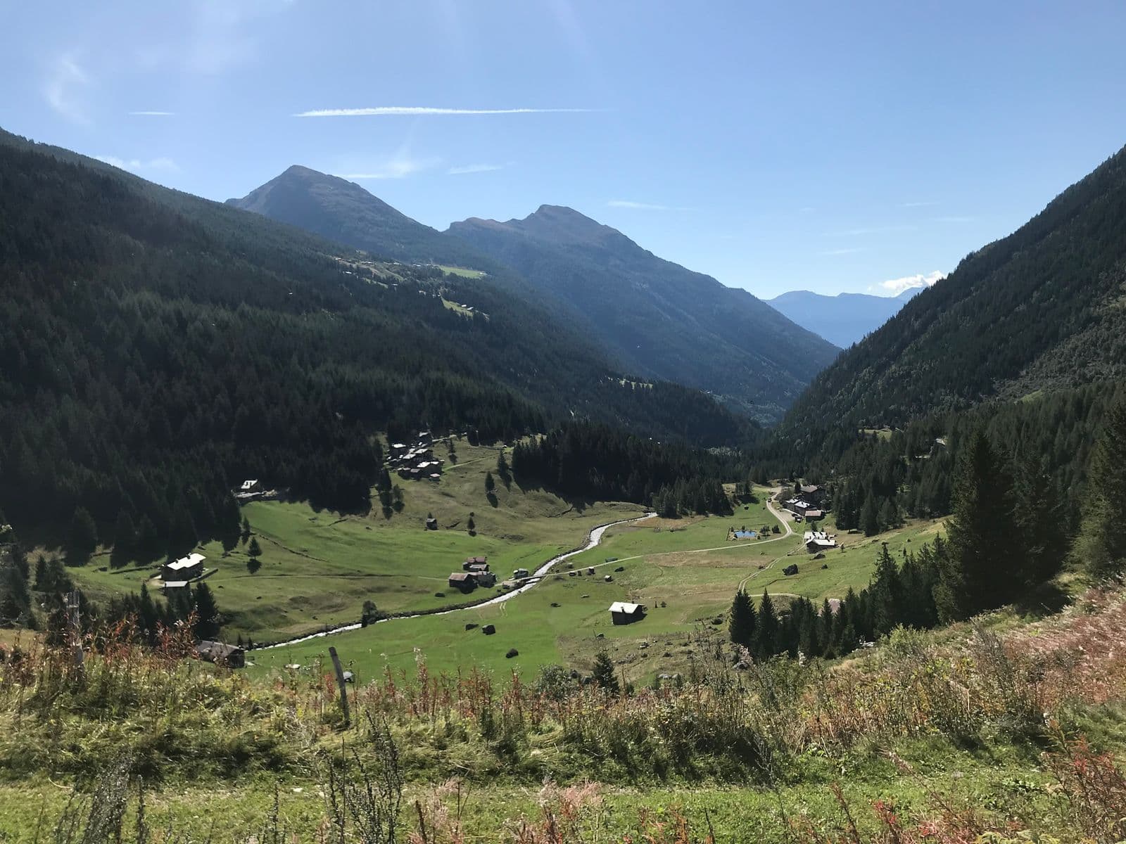
Valley
Val Grosina (Alta Val Grosina)
A valley that starts from castles and rock carvings five thousand years old and climbs among lakes, pastures and peaks over three thousand metres: a day of culture and a day of mountains, in the same place.
Valley
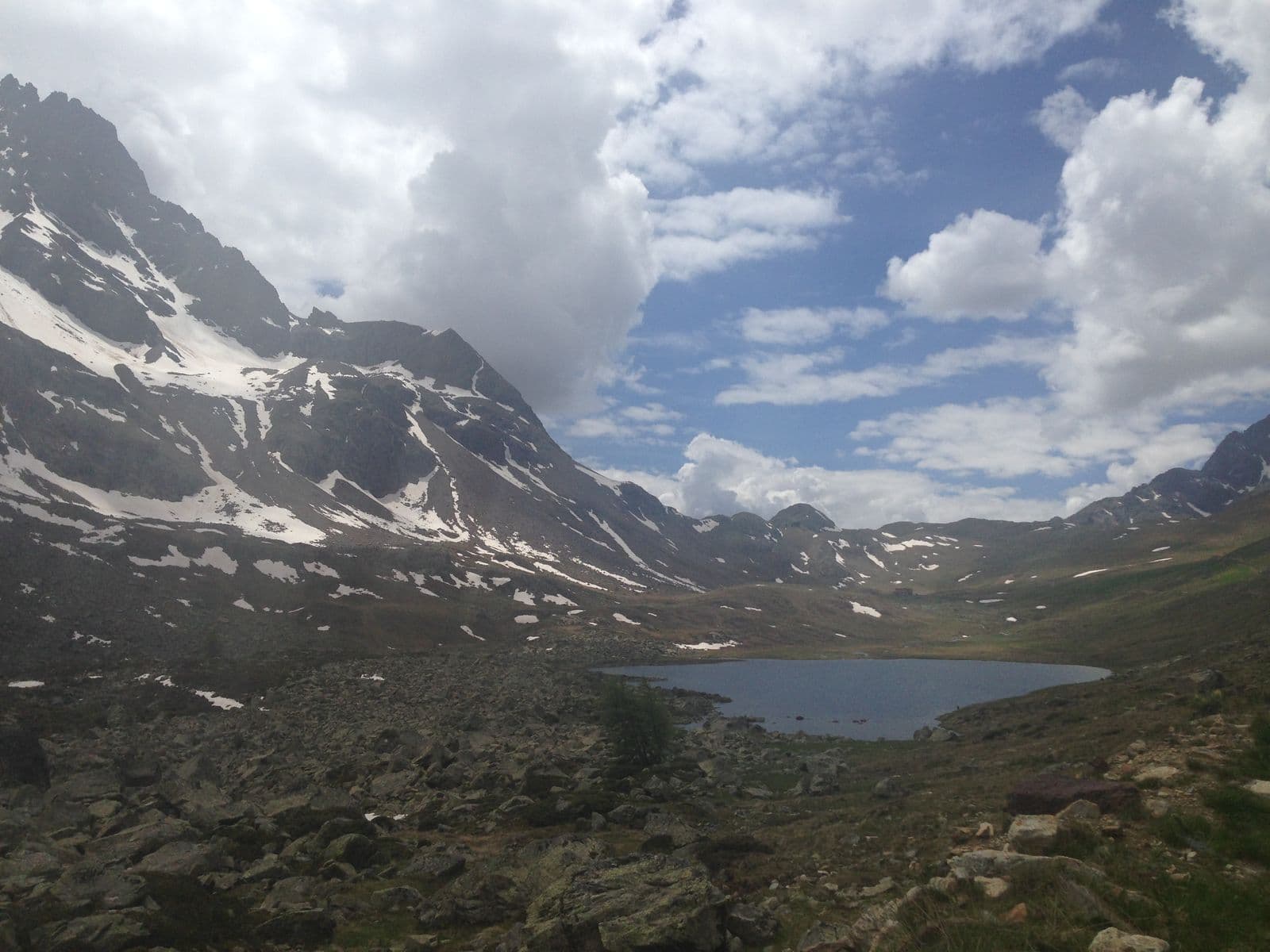
Val Viola
A wide, bright valley on the Swiss border: alpine lakes, glaciers glittering on the peaks and a flat road leading on foot or by bike to Lake Viola.
Valley
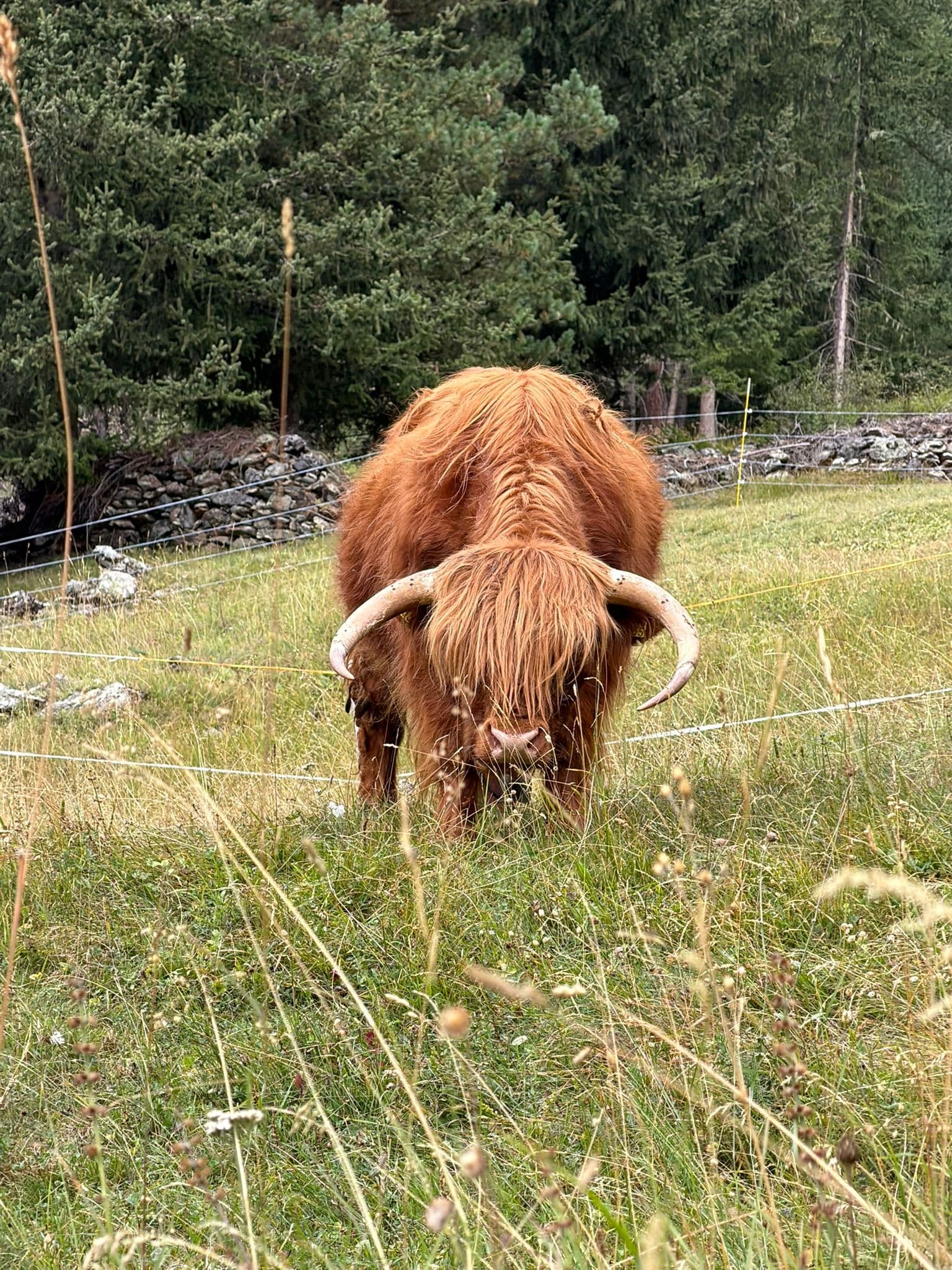
Val Zebrù
A wild valley in the heart of the Stelvio Park, climbing from Niblogo towards the glaciers of the Gran Zebrù and the Ortles: red deer, ibex, the bearded vulture in flight and huts where silence is the rule.
Valley
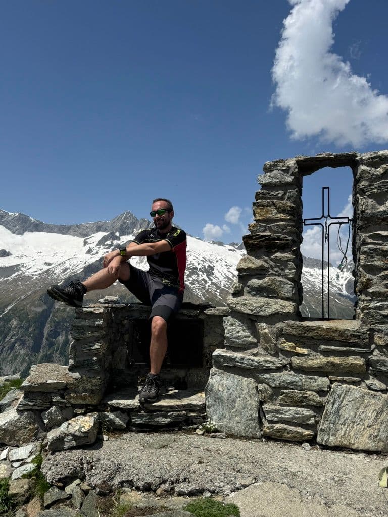
Valmalenco
The green valley of the Bernina Alps: soapstone and serpentine for five thousand years, the Ventina glacier, the cable car to Alpe Palù and an eight-day High Route above 2,000 metres.
Sport and Adventure
Skiing, cycling, trekking and mountain sports.
Trekking route
Baruffini-Rifugio Schiazzera loop
A technical, panoramic route for those with good athletic preparation: from Baruffini to the Rifugio Schiazzera on Monte Masuccio, as a day trip or with an overnight stay at the hut.
Road route
Tirano-Aprica-Mortirolo loop
A 66-kilometre loop from Tirano, through Aprica, the Trivigno Pass and the Mortirolo: about 1,870 metres of ascent, for the fit.
Trekking route
Tirano-Roncaiola-Baruffini-Baitelli loop
An 11-kilometre loop for fit hikers: the historic mule track among the terraces, the Bread Path from Roncaiola to Baruffini, the Valtellina baitelli and a return along the hillside.
Road route
Tirano-Grosio loop
A 34-kilometre loop from Tirano to Grosio, along the Sentiero Valtellina and through the historic villages of the valley: perfect also as a workout.
Road route
Tirano-Grosio-Bormio loop
An 83-kilometre loop from Tirano, through Grosio and Bormio: about 980 metres of ascent, almost all on asphalt and mostly on a cycle path.
Trekking route
Tirano-Lake of Lovero loop
A flat route suitable for families: 10 kilometres from Tirano to the Lake of Lovero along the Sentiero Valtellina, returning also on the dirt path on the other side of the Adda.
Trekking route
Tirano-Lughina-Wine Path loop
A technical route from Tirano to Lughina via Switzerland, returning via Novaglia and the Wine Path: the Val Poschiavo on one side, the Valtellina on the other.
Trekking route
Tirano-Novaglia-Lughina loop
From Tirano to Lughina, on the border between Italy and Switzerland, via Santa Perpetua and Novaglia: woodland paths, mountain roads and the old border fortifications.
Trekking route
Tirano-Roncaiola-Baruffini loop
A soft 12-kilometre loop on the historic paths above Tirano, through the villages of Roncaiola and Baruffini and the giant bench: suitable for families, with a pinch of fitness.
Trekking route
Tirano-Roncaiola-Nasen loop
A medium-difficulty 8-kilometre path: the climb to the terraces north-east of Tirano, an old mule track to Roncaiola and the return via Nasen and the road to Ciocca.
Trekking route
Tirano-Santa Perpetua-Novaglia loop
A 7-kilometre loop of medium difficulty, with good preparation needed for the first climb: from Santa Perpetua to Novaglia through the woods, returning via Villa di Tirano. Not suitable for families.
Trekking route
Tirano-Villa di Tirano loop: the wine path
An easy path, suitable for families: 9 kilometres from Santa Perpetua along the wine path among the terraces, returning through the apple orchards of the Villa di Tirano plain.
Road route
Tirano-Teglio-Chiuro loop
A 54-kilometre loop from Tirano, through Teglio and Chiuro: about 920 metres of ascent, almost all on asphalt, with a stretch on a cycle path.
Trekking route
Tirano-Villa di Tirano loop
A flat route suitable for families: 10 kilometres from Tirano to Villa di Tirano along the Sentiero Valtellina and among the apple orchards.
MTB route
Aprica – Padrio – Piscè
A long loop of about 27 kilometres above Aprica, among woods and pastures, with the Padrio section designed precisely for mountain biking: demanding climbs and technical descents.
Lake
Alpe Gera Reservoir
One of the largest artificial lakes in Italy: a gigantic reservoir above 2,000 metres, below the Fellaria glacier and dominated by a dam 174 metres high.
Bei Laghetti
The "Maldives of Bormio": small lakes of vivid colours below the Bocca di Profa, at about 2,700 metres, on the Val Sobretta side.
MTB route
Mottolino Bike Park and the Livigno flow trails
Livigno's great mountain-bike park: flow trails such as Coast to Coast and H-Dream, Blueberry Line and more technical tracks, with the lifts that carry bikes up. Fun at altitude.
Mountain hut
Chalet dei Rododendri Mountain Lodge
On Monte Vallecetta, at 2,160 metres, a natural terrace over the pistes of the Alta Valtellina and the peaks of Bormio.
Historic church
Church of Santa Perpetua
A 12th-century Romanesque chapel on a rocky balcony above Tirano: medieval frescoes, the remains of a pilgrims' hospice and a view over the town and the basilica.
MTB route
Ciclovia dell'Energia (Energy Cycleway)
Three routes among the power stations, canals and dams of the Upper Valtellina: the Green from Grosotto to the Torri di Fraele, the Red to Cancano, the Orange for the fittest. Riding where water becomes light.
Mountain
Cima di Castello
The second summit of the Masino group after the Disgrazia: a great snowy dome of over 3,380 metres, less famous than the Badile but no less beautiful, at the head of the secluded Val di Zocca.
Mountain
Cima Piazzi
3,439 metres above Valdidentro: the highest summit of the Livigno Alps, with a name that carries a family of herdsmen, a bivouac dedicated to a friend and an ice wall that lights up at sunset.
Mountain
Cima Viola
3,374 metres between the Val Grosina and the Val Viola: once the «Western Summit of Lago Spalmo», today one of the most beautiful summits above the Viola hut, among lakes, pastures and the silence of the high valley.
Ski area
Aprica
About 50 km of pistes in four sectors, with the floodlit Baradello Superpanoramica in the evening: the ski area closest to Milan.
Ski area
Bormio
The Stelvio piste from 3,012 m, 15 lifts and a pass of about 110 km shared with Santa Caterina and Cima Piazzi.
Ski area
Livigno
At 1,800 m, about 115 km of pistes between Carosello 3000 and Mottolino, with snow into spring and a long cross-country tradition.
Ski area
Teglio – Prato Valentino
At 1,700 metres above Teglio, the snow of meadows and woods: snowshoeing, walks and an unhurried winter.
Ski area
Valdidentro – Cima Piazzi e San Colombano
From Isolaccia and Oga, quiet pistes between 1,345 and 2,550 m, the Pista Viola for cross-country and Val Viola for snowshoeing.
Ski area
Valfurva – Santa Caterina
About 35 km of pistes up to 2,700 m beneath the Ortles-Cevedale, with cross-country and ski touring in the Forni Valley.
Ski area
Valmalenco – Alpe Palù
From the Snow Eagle gondola to Alpe Palù: over 50 km of pistes, a snowpark and the Bernina as a backdrop.
Mountain
Corno dei Tre Signori
Where three states met: Venice, Milan, Trent. 3,360 metres above the Gavia Pass, with the sources of the Oglio and the Noce and a view that in the Middle Ages was a border.
Mountain
Corno di Dosdè
The pyramid of the Val Viola: 3,232 metres of dark rock that dominates the lakes of the Viola hut and mirrors its point in the sunsets of Valdidentro, with a snowfield a step from the path.
Lake
Lake and dam of Venina
A multiple-arch dam inaugurated in 1926, unique in the world for its time: eight concrete vaults resting on buttresses, in a basin where a glacial lake once lay.
Mountain passes and springs
Forcola di Livigno Pass
2,315 metres, from Poschiavo to Livigno without a single hairpin: the border pass that joins a valley south of the Alps, but Swiss, with a valley north of the Alps, but Italian.
Mountain
Gran Zebrù (Königspitze)
A dolomite pyramid of 3,851 metres with two names and a legend: the hermit king Zebrusius, the «castle of spirits» and the Eagle's Nest of the Alpini. The highest summit in Lombardy of the Ortles-Cevedale group.
Lake
Campagneda Lakes
Small high-altitude lakes below the Pizzo Scalino, in the hollow of the Campagneda alpine pasture, at about 2,400 metres, on the way to the Passo di Campagneda.
Lake
Grom Lakes
Two high-altitude lakes below Monte Seroti, at 2,340 and 2,415 metres, with an easy climb from Malga Salina and a view of the Adamello from the Passo di Valle Andrina.
Lake Brodeg
The lowest of the three Profa lakes, round and hidden behind a bump, at about 2,550 metres: its dialect name means "dirty", but the water is green and perfectly clear.
Lake Tre Mote
The lake of the three islets, at about 2,570 metres below Monte Mala: dark from above, intensely green up close, the first of the Profa lakes.
Lake
Lake Belviso
The largest lake in the Orobic Alps: a six-kilometre turquoise ribbon in the heart of the Val Belviso, with an easy walk for everyone along the gnomes' path.
Lake Forbesana
A small isolated lake above the Val Viola, a goal for excursions off the beaten track and, in winter, a stage of ski mountaineering towards the Pizzo della Valle.
Lake
Lago di Lovero
A quiet lake little more than an hour's walk from Tirano along the Sentiero Valtellina: born with the dam of 1948, in a valley where in 1807 a landslide from Monte Masuccio had already created a natural one.
Lake
Lake Negro
At about 2,560 metres, in a moraine basin below the Passo Dosdè, between Cima Viola and Cima di Saoseo, a high-altitude lake in the silence of the eastern Val Grosina.
Lake
Lake Palabione
Two small lakes at about 2,100 metres above Aprica, with the cross of Monte Filone and a 360-degree view of the Orobie, the Rhaetian Alps and the Adamello.
Lake
Lake Pirola
A lake of deep blue water at about 2,290 metres, above the Val Ventina, among red serpentine and larches, with a view of the Passo del Muretto.
Lake
Lake Spalmo di Verva
Above 2,500 metres, in an amphitheatre of rock and ice below the Cima Orientale di Lago Spalmo, the milky glacial lake of the Val Verva.
Lake Stelù
The "sterile" lake among the scree, at about 2,580 metres, the highest of the Profa lakes, in a glacial hollow with perfectly clear water.
Lake
Lake Storto
The highest and most panoramic lake of the Mortirolo plateau, at about 2,700 metres, with the Adamello before it, above the hollow of the Seroti Lakes.
Lake
Lake Turchino (Lac Turchin)
At about 2,300 metres, at the foot of the Sasso Calosso, a lake of turquoise water that the people of the Val d'Eita call "Turchino", with a small waterfall on its shore.
Lake
Lake Venere (Lac Vener)
A "splendid" lake at about 2,410 metres, on a terrace below the Passo di Vermolera, among red stones and small turquoise lakes, facing the Piazzi group.
Mountain
Monte Campaccio
The three-thousander of Livigno: 3,004 metres above the Carosello 3000, for those who want a real ridge and a 360-degree panorama over the Livigno Alps, with the slopes at its feet.
Mountain
Monte Cevedale
3,769 metres in the heart of the Stelvio Park: a mountain of gentle snow and broad glaciers, the «easy climb» of the group, at the crossroads of Valfurva, Val di Peio and Val Martello.
Mountain
Monte Confinale
A 3,370-metre peak in the heart of the Stelvio Park, above Santa Caterina: dawn lights it up, a lonely bivouac on the ridge waits for you, and the Giro del Confinale circles it.
Mountain
Monte della Neve
2,785 metres, Livigno's «Mont da la Néf»: the summit above the Mottolino, the Valfin piste below the top and a summer walk from the cable car, with the village and its valleys at your feet.
Mountain
Monte delle Mine
About 2,880 metres above one of the most photogenic valleys of Livigno: the Valle delle Mine, with its larches, high-altitude lakes, a glacier and the Bernina on the horizon.
Mountain
Monte delle Rezze
2,858 metres above Livigno, twenty minutes from the Carosello 3000 cable car: the mountain of the Madonon, the great Madonna del Soccorso who watches over the village, and of an Alpini bivouac in stone.
Mountain
Monte Masuccio
Tirano's home mountain: 2,816 metres above Baruffini and Roncaiola, with the Schiazzera hut, a military mule track, the Sentiero Italia and the Swiss border a step from the summit.
Mountain
Monte Scorluzzo
Above the Stelvio Pass, a 3,094-metre belvedere with the trenches of the White War, the Austro-Hungarian shelter recovered from the ice after a century and the view of the Ortles.
Mountain
Monte Sobretta
The highest point of the Santa Caterina ski area: a 3,296-metre peak, gentle and bright, among the best-loved ski-mountaineering climbs in the Valfurva and a trip suited even to beginners.
Mountain
Monte Vago
About 3,050 metres above the Forcola Pass: a turquoise lake on the way, a rocky ridge for experienced hikers and a Swiss border running beside the path.
Mountain
Ortles (Ortler)
3,905 metres: the highest mountain in South Tyrol and of the whole group, seen from the Stelvio Pass and the Upper Valtellina. The summit is outside Lombardy, but its first ascent in 1804 is one of the great stories of mountaineering.
Mountain
Palon de la Mare
A great back of snow between the Cevedale and the Vioz, at 3,703 metres: a mountain of border and silence, in the heart of the Stelvio Park, reached by way of the huts above Santa Caterina.
Mountain passes and springs
Alpisella Pass
The «cold pasture» above the Fraele Towers: a pass of about 2,270 metres joining Bormio and Livigno, the watershed between the Black Sea and the Adriatic, in the heart of the Stelvio Park.
Mountain passes and springs
Foscagno Pass
2,291 metres: the road that leads to Livigno without leaving Italy, between a customs post and a watershed where two streams born a few metres apart end up, one in the Black Sea and the other in the Mediterranean.
Mountain passes and springs
Mortirolo Pass
A climb cyclists name in a low voice: the legend of the Pirate, the duels that decided Giros, three sides to conquer and a table with a view over half of Valtellina.
Mountain passes and springs
Muretto Pass
2,562 metres from Chiareggio to the Engadine, by a crossing known since antiquity: a military road of the Cadorna Line, the Protestant refugees of 1620 and the source of the Mera a few steps away.
Mountain passes and springs
Portone Pass
The smugglers' pass above Tirano: about 2,630 metres, a boundary stone, the Val Saiento and the Schiazzera Lakes beneath your feet. From the Guardia di Finanza barracks turned into a hut.
Mountain passes and springs
Stelvio Pass
At 2,758 metres, three roads, 88 hairpins, the legend of Coppi and a glacier where you ski even in summer: Italy's highest pass is a mountain to live, not just to cross.
Mountain passes and springs
Aprica Pass
The gentlest pass between Valtellina and Val Camonica: an ancient crossing turned holiday resort, gateway to the Pian di Gembro peat bog and the Trivigno pastures, on the Giro's roads and on skis.
Mountain passes and springs
Campagneda Pass
About 2,620 metres between the Campagneda plateau and the Val Poschiavina: a wooden arch marks the crossing between the Valmalenco and the Valposchiavo, a stage of the Alta Via and the Via Alpina.
Mountain passes and springs
Val Viola Pass
Beyond the lakes of the Viola hut, a border pass between Valdidentro and Valposchiavo at about 2,430-2,470 metres: a path between the Corno di Dosdè and the Piz Val Nera, much loved by mountain bikers.
Mountain passes and springs
Verva Pass
2,301 metres between the Val Grosina and the Upper Valtellina: the way of Venetian merchants and smugglers, of herdsmen and valley people in the emergency of 1987, today a wide, panoramic track that starts from Eita.
Mountain passes and springs
Eira Pass
2,208 metres, a step from the Mottolino: the Livigno pass where the meadows reach the road, the houses stay inhabited all year round and a chapel dedicated to Our Lady of Peace looks over the valley.
Mountain passes and springs
Gavia Pass
2,621 metres between Santa Caterina Valfurva and Val Camonica: an old mule track, the Great War front, the snowstorm that made the 1988 Giro and a heart of glaciers and lakes in the Stelvio Park.
Mountain passes and springs
Umbrail Pass
2,501 metres: the highest road pass in Switzerland, a step from the Stelvio, entered from the Fourth Cantoniera and descending thirteen kilometres to the Val Müstair. The third side of the Stelvio.
MTB route
Pedemontana della Reit
A balcony of larches and meadows above Bormio, in the Stelvio National Park: a varied loop for mountain bikes and e-bikes, with views over the valley and the peaks that close it.
Mountain
Piz Palü
Three sister summits and four hanging glaciers on the border between the Valmalenco and the Engadine: one of the most beautiful mountains of the Central Alps, star of a 1929 film and a few minutes from the Red Train.
Mountain
Pizzo Badile
The granite cathedral of the Val Masino: 3,308 metres of golden rock, the most famous north face of the Central Alps, the Cassin route of 1937 and a story of courage and tragedy.
Mountain
Piz Bernina
4,049 metres of ice: the king of the Bernina group, the easternmost four-thousander of the Alps, with an Italian summit, the Perrucchetti, that is the highest point in Lombardy. And the Red Train that leaves from Tirano runs right at its feet.
Mountain
Pizzo Cantone
2,904 metres of pale stone, almost lunar, in the heart of the Carosello 3000: a belvedere of Livigno that you climb with the cable car and, if you like, descend with the cable car.
Mountain
Pizzo Cengalo
A truncated pyramid of granite and ice of 3,369 metres, the highest of the Badile group: the summit that in 2017 reminded everyone how alive a mountain is, and that today you admire from the Gianetti hut.
Mountain
Pizzo Coca
The King of the Orobie: 3,050 metres above the Conca dei Giganti, the highest summit of the Alps that divide the Valtellina from the Bergamo area, with a story of wrong measurements and a CAI president who wanted to know the truth.
Mountain
Pizzo del Diavolo di Tenda
The «Matterhorn of the Orobie»: a slender pyramid of about 2,914 metres above the Val d'Ambria, with a twin, the Diavolino, and a story of guides, springs and a first female ascent in 1879.
Mountain
Piz Paradisin (Pizzo Paradisino)
A name that is already a promise: the «little paradise» of 3,300 metres between the Val Viola and the Val di Campo, on the border with Switzerland, with the Lago di Val Viola and the Saoseo hut at its feet.
Mountain
Pizzo Redorta
3,038 metres above the Scais Glacier: for decades believed to be the highest summit of the Orobie, climbed in 1830 by Austrian surveyors, and chosen by Antonio Curò in 1877 to measure the truth.
Mountain
Pizzo Scalino
A perfect pyramid of 3,323 metres above the Campagneda plateau: the symbol of the upper Valmalenco, climbed for years by hikers and ski mountaineers, with a view of the Bernina that you do not forget.
Mountain
Pizzo Torrone Orientale
A granite tower of 3,333 metres above the Val di Zocca, kingdom of the climbers: the south ridge of the Osio-Canali route is one of the classics of the Val Masino.
Mountain
Pizzo Tresero
3,594 metres above the Forni Glacier: the mountain that dawn tints pink above Santa Caterina, last summit of the great chain of the 13 Peaks and a classic climb from the Berni hut.
Mountain
Punta Rasica
A granite spire of about 3,300 metres above the Val di Zocca: the mountain from which, after a tragedy in 1935, came the idea of the Vibram sole that changed mountain boots all over the world.
Mountain
Punta San Matteo
3,678 metres of snow and memory: the summit of the highest battle in history, on 13 August 1918. Today it is a snowy climb above the Forni Glacier, and the Berni hut, on the Gavia road, keeps its memory.
Mountain
Punta Scais
A sharp spire of 3,038 metres above the Lago di Scais: the joint second summit of the Orobie with the Redorta, the Torrione Curò and a small cross that remembers a great mountaineer from Bergamo.
Mountain
Punta Thurwieser (Thurwieserspitze)
An elegant spire of about 3,650 metres, dedicated to an Austrian priest-mountaineer: beautiful to look at from the Quinto Alpini hut, hard to climb because of its crumbling rock, and the protagonist of a colossal rockslide in 2004.
Mountain hut
Bonetta Mountain Hut
On the summit of the Gavia Pass, a family-run hut overlooking Lago Bianco, among cyclists, motorcyclists and the wind of the high mountains.
Mountain hut
Ca' Runcasch Mountain Hut
At the foot of the Pizzo Scalino, on the plateau of Alpe Campagneda: a hut open all year, with Valtellina cooking and snow until April.
Mountain hut
Cesare Branca Mountain Hut
Facing the Forni glacier, in the heart of the Stelvio Park, a hut from 1934 born from the memory of a Milanese mountaineer.
Mountain hut
Federico in Dosdè Mountain Hut
At 2,133 metres, in a bright hollow beneath the Corno di Dosdè, a CAI hut dedicated to a young climber, just where the Val Viola road ends.
Mountain hut
Gerli-Porro Mountain Hut
At 1,965 metres, among larches and boulders, a CAI Milano hut with the Ventina glacier before your eyes, in the heart of the Disgrazia group.
Mountain hut
Forni Glacier Mountain Hut
At 2,178 metres, at the head of the Forni Valley, a hut-hotel you can reach by car, on foot or by bike, facing the glacier and the peaks of the Ortles-Cevedale.
Mountain hut
La Baita Mountain Hut (Val di Rezzalo)
At 1,860 metres, in a panoramic position at San Bernardo, a simple and welcoming hut at the head of the Val di Rezzalo, an hour's walk from the Fumero car park.
Mountain hut
Longoni Mountain Hut
At 2,450 metres, on the ridge of Sassa d'Entova, a CAI Seregno hut with a view over the southern side of the Bernina, two and a half hours from Chiareggio.
Mountain hut
Malghera Mountain Hut
At 1,964 metres, in a quiet alpine pasture dominated by the sanctuary's bell tower, a hut at the head of the western Val Grosina, at the start of the Valle di Sacco.
Mountain hut
Marinelli Bombardieri Mountain Hut
At 2,813 metres, on a rocky spur in the upper Scerscen valley, the large CAI Valtellinese hut with the glacier and the peaks of the Bernina before you.
Mountain hut
Mortirolo Antonioli Mountain Hut
A renovated old alpine dairy, a few steps from the Mortirolo Pass: home cooking, a family welcome and a grassy hollow with a small lake.
Mountain hut
Motta Mountain Hut
At 2,142 metres, on a panoramic terrace beside the slopes, a hut for summer and winter a few minutes from the Snow Eagle cable car at Chiesa in Valmalenco.
Mountain hut
Pizzini-Frattola Mountain Hut
At 2,706 metres, at the head of the Val Cedèc, a large CAI Milano hut facing the Gran Zebrù and the Cevedale glacier, with a history born from the Great War.
Mountain hut
Poschiavino Mountain Hut
At almost 2,000 metres, beside the Campo Moro dam and the green waters of the lake, a family-run hut below the peaks of the Bernina.
Mountain hut
Quinto Alpini Mountain Hut
At 2,877 metres, on a rocky edge in the heart of the Val Zebrù, with the glacier three minutes away and the great peaks of the Ortles-Cevedale before you.
Mountain hut
Schiazzera Mountain Hut
At 2,079 metres, at the threshold of the Val Saiento, a former Guardia di Finanza border barracks turned into a volunteer-run hut, a few minutes from the car park.
Mountain hut
Stella Alpina Mountain Hut
A stop with bar, restaurant and rooms along the Forni Valley road, shortly before the glacier, in the heart of the Stelvio National Park.
Mountain hut
Tartaglione-Crispo Mountain Hut
At 1,800 metres, at the Alpe Laresìn, at the entrance of the Val Sissone, a hut in the woods with a view of Monte Disgrazia, 45 minutes from Chiareggio and suitable for everyone.
Mountain hut
Valtellina Mountain Hut
At 1,920 metres, in the green hollow of the Carègia del Palabione above Aprica, the CAI Aprica hut reborn after the 2010 fire, in the Orobie Valtellinesi Park.
Mountain hut
Ventina Mountain Hut
At 1,965 metres, at the Alpe Ventina, a few steps from the Gerli-Porro, a family-run hut with a view of the glacier and the peaks of the Disgrazia.
Mountain hut
Viola Mountain Hut
At 2,314 metres, just below the Val Viola Pass, in a plain of small lakes at the foot of the Corno di Dosdè, an old border barracks turned into a hut.
Mountain hut
Zoia Mountain Hut
At 2,021 metres, at Campo Moro, beside the lake and the dam, a hut a few minutes from one of the finest crags in the Alps, with a sauna to relax in.
Historic trail
Sasso del Gallo
Where Italy gives way to Switzerland: the abandoned barracks, the smugglers' paths and a hike that tells a story of hardship, courage and memory.
MTB route
Sentiero Valtellina
The silver thread of the valley floor: a cycle route of about 114 kilometres from Bormio to Colico, almost all flat, with Tirano along the way. Ideal for a first day in the saddle, or for any family.
Road route
Sentiero Valtellina from Tirano to Sondrio
A relaxed 61-kilometre ride, with no significant climbs, along the Sentiero Valtellina from Tirano to Sondrio: for families, but also as a workout.
Road route
Tirano-Aprica-Trivigno
From Tirano to Trivigno, the alp of Tirano at about 1,800 metres, via Aprica and the Pian di Gembro Nature Reserve: 43 kilometres, with the option of carrying on towards the Mortirolo.
Road route
Tirano-Carona: the Orobie side
A beautiful and little-known 43-kilometre route through the woods of the Orobie side from Stazzona to Carona, returning on the Sentiero Valtellina.
Road route
Tirano-Mortirolo Pass from Mazzo di Valtellina
From Tirano to the Mortirolo Pass climbing from Mazzo di Valtellina, the toughest side, and descending towards Tiolo: 46 kilometres and about 1,450 metres of ascent.
Road route
Tirano-Mortirolo Pass from Tiolo
From Tirano to the Mortirolo Pass climbing from Tiolo, above Grosio, and descending to Mazzo di Valtellina: 49 kilometres and about 1,470 metres of ascent.
Road route
Tirano-Stelvio Pass
From Tirano to the legendary Stelvio Pass: 123 kilometres and over 2,500 metres of ascent, with the gentle climb along the Sentiero Valtellina as far as Bormio.
Road route
Tirano-Gavia Pass
From Tirano to another legendary climb, the Gavia Pass: 131 kilometres, over 2,400 metres of ascent, with a gentle start through the Alta Valle and Bormio.
Trekking route
Tirano-Sasso del Gallo-San Romerio
An all-day route for those with good athletic preparation: from Tirano to the old Sasso del Gallo barracks, across the Swiss border, to the San Romerio viewpoint over the Val Poschiavo.
Trekking route
Tirano-Sasso del Gallo-Smugglers' Path loop
A path for those with athletic preparation: from Tirano to the old Sasso del Gallo barracks, then the Smugglers' Path, Baruffini, Roncaiola and the return along an old mule track.
Road route
Tirano-Sondrio: the Wine Road and the Sentiero Valtellina
One of the most beautiful cycling routes in the Valtellina: 63 kilometres between Tirano and Sondrio, out on the wine road and back on the Sentiero Valtellina.
Road route
Tirano-Torri di Fraele and Cancano Lakes
A full day in the saddle: 115 kilometres from Tirano to the Torri di Fraele and the Cancano Lakes, returning via Isolaccia, Bormio and Grosio.
MTB route
The Aprica trails: Magnolta, Gembro, Valentina, Alpini
A web of marked trails around Magnolta, Palabione and the Val Sorda: the Magnolta Trail, the Gembro, the Valentina and the Alpini Trail, a few kilometres each, to choose the ride that fits.
History and Culture
Historic villages, churches, museums and local traditions.
Historic village
Baruffini
Nine old districts in the Masuccio sun: smugglers' trails, a giant bench and a trattoria with a view over the valley.
Sanctuary
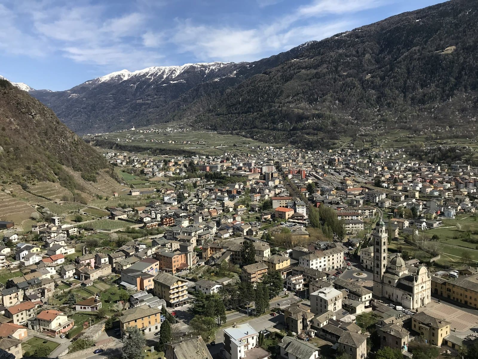
Basilica of the Madonna di Tirano
The Renaissance sanctuary born from an apparition in 1504: stucco, wood carving and an extraordinarily rich 17th-century organ, to be admired at leisure.
Historic church
Church of Santa Perpetua
A 12th-century Romanesque chapel on a rocky balcony above Tirano: medieval frescoes, the remains of a pilgrims' hospice and a view over the town and the basilica.
Mountain
Corno dei Tre Signori
Where three states met: Venice, Milan, Trent. 3,360 metres above the Gavia Pass, with the sources of the Oglio and the Noce and a view that in the Middle Ages was a border.
Lake
Lake and dam of Venina
A multiple-arch dam inaugurated in 1926, unique in the world for its time: eight concrete vaults resting on buttresses, in a basin where a glacial lake once lay.
Mountain
Gran Zebrù (Königspitze)
A dolomite pyramid of 3,851 metres with two names and a legend: the hermit king Zebrusius, the «castle of spirits» and the Eagle's Nest of the Alpini. The highest summit in Lombardy of the Ortles-Cevedale group.
Lake
Lake Livigno and the Punt dal Gall dam
An arch dam 130 metres high, built by the Swiss astride the border, and an emerald lake of 164 million cubic metres that carries the name of «Little Tibet».
Mountain
Monte delle Rezze
2,858 metres above Livigno, twenty minutes from the Carosello 3000 cable car: the mountain of the Madonon, the great Madonna del Soccorso who watches over the village, and of an Alpini bivouac in stone.
Mountain
Monte Masuccio
Tirano's home mountain: 2,816 metres above Baruffini and Roncaiola, with the Schiazzera hut, a military mule track, the Sentiero Italia and the Swiss border a step from the summit.
Mountain
Monte Scorluzzo
Above the Stelvio Pass, a 3,094-metre belvedere with the trenches of the White War, the Austro-Hungarian shelter recovered from the ice after a century and the view of the Ortles.
Mountain
Ortles (Ortler)
3,905 metres: the highest mountain in South Tyrol and of the whole group, seen from the Stelvio Pass and the Upper Valtellina. The summit is outside Lombardy, but its first ascent in 1804 is one of the great stories of mountaineering.
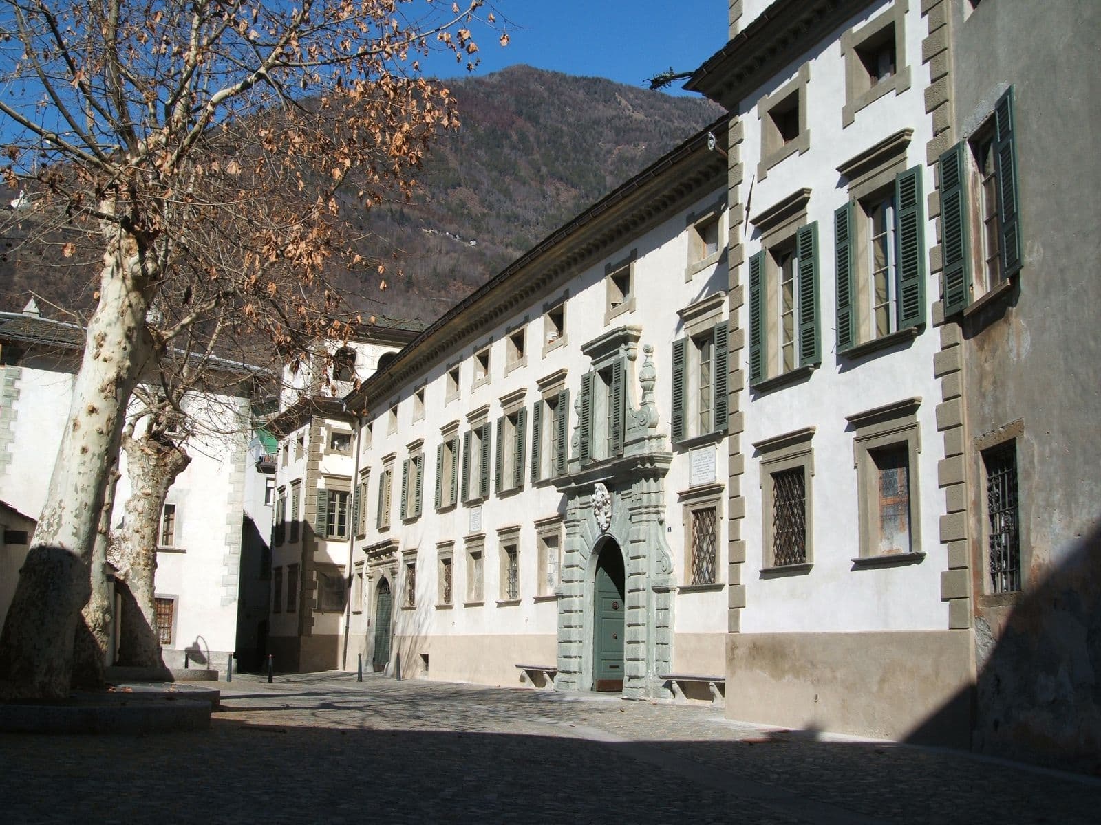
Historic palace
Palazzo Salis
A 17th-century noble residence in the heart of Tirano: Baroque portal, ten frescoed rooms, a chapel and one of the very few Italian gardens in the Alps, waiting to be discovered.
Mountain passes and springs
Alpisella Pass
The «cold pasture» above the Fraele Towers: a pass of about 2,270 metres joining Bormio and Livigno, the watershed between the Black Sea and the Adriatic, in the heart of the Stelvio Park.
Mountain passes and springs
Muretto Pass
2,562 metres from Chiareggio to the Engadine, by a crossing known since antiquity: a military road of the Cadorna Line, the Protestant refugees of 1620 and the source of the Mera a few steps away.
Mountain passes and springs
Portone Pass
The smugglers' pass above Tirano: about 2,630 metres, a boundary stone, the Val Saiento and the Schiazzera Lakes beneath your feet. From the Guardia di Finanza barracks turned into a hut.
Mountain passes and springs
Verva Pass
2,301 metres between the Val Grosina and the Upper Valtellina: the way of Venetian merchants and smugglers, of herdsmen and valley people in the emergency of 1987, today a wide, panoramic track that starts from Eita.
Mountain passes and springs
Umbrail Pass
2,501 metres: the highest road pass in Switzerland, a step from the Stelvio, entered from the Fourth Cantoniera and descending thirteen kilometres to the Val Müstair. The third side of the Stelvio.
Mountain
Pizzo Tresero
3,594 metres above the Forni Glacier: the mountain that dawn tints pink above Santa Caterina, last summit of the great chain of the 13 Peaks and a classic climb from the Berni hut.
Mountain
Punta Rasica
A granite spire of about 3,300 metres above the Val di Zocca: the mountain from which, after a tragedy in 1935, came the idea of the Vibram sole that changed mountain boots all over the world.
Mountain
Punta San Matteo
3,678 metres of snow and memory: the summit of the highest battle in history, on 13 August 1918. Today it is a snowy climb above the Forni Glacier, and the Berni hut, on the Gavia road, keeps its memory.
Mountain hut
Alpe Musella Mountain Hut
A plateau of pastures and larches at the foot of the Bernina glaciers, with a story of Alpini: an outing for the whole family, an hour from Campo Moro.
Mountain hut
Arnaldo Berni Mountain Hut
At 2,541 metres on the Gavia road, a hut with a view of the Ortles-Cevedale glaciers, named after an Alpini captain of the Great War.
Mountain hut
Carate Brianza Mountain Hut
An "eagle's nest" at 2,636 metres beneath the Bocchetta delle Forbici, born in 1927 from a ruin found by a group of hikers from Brianza.
Mountain hut
Dordona Mountain Hut
On the border between Valtellina and Val Brembana, a new hut beside the trenches of the Cadorna Line, reached by off-road vehicle or on foot from Foppolo.
Mountain hut
Eita Mountain Hut
In the village of Eita, among stone houses and a bell tower, a hut run by volunteers at the gateway of the eastern Val Grosina and the Passo di Verva.
Mountain hut
Garibaldi Mountain Hut at the Stelvio
A small stone castle at 2,845 metres, on the peak of three languages: where Lombardy, South Tyrol and Switzerland meet, ten minutes on foot from the Stelvio Pass.
Mountain hut
Gianni Casati Mountain Hut
At 3,269 metres, on the border between Lombardy and South Tyrol, the highest hut of the Valfurva, now closed to be rebuilt: the emergency shelter remains open.
Mountain hut
Malghera Mountain Hut
At 1,964 metres, in a quiet alpine pasture dominated by the sanctuary's bell tower, a hut at the head of the western Val Grosina, at the start of the Valle di Sacco.
Mountain hut
Pizzini-Frattola Mountain Hut
At 2,706 metres, at the head of the Val Cedèc, a large CAI Milano hut facing the Gran Zebrù and the Cevedale glacier, with a history born from the Great War.
Mountain hut
Quinto Alpini Mountain Hut
At 2,877 metres, on a rocky edge in the heart of the Val Zebrù, with the glacier three minutes away and the great peaks of the Ortles-Cevedale before you.
Mountain hut
Schiazzera Mountain Hut
At 2,079 metres, at the threshold of the Val Saiento, a former Guardia di Finanza border barracks turned into a volunteer-run hut, a few minutes from the car park.
Mountain hut
Viola Mountain Hut
At 2,314 metres, just below the Val Viola Pass, in a plain of small lakes at the foot of the Corno di Dosdè, an old border barracks turned into a hut.
Historic village
Roncaiola
A stone hamlet hanging over the vineyards above Tirano: old smugglers' trails, new families and a table worth remembering.
Historic trail
Sasso del Gallo
Where Italy gives way to Switzerland: the abandoned barracks, the smugglers' paths and a hike that tells a story of hardship, courage and memory.
Scenic railway
Bernina Red Train
From 429 to 2,253 metres in two and a half hours: the highest metre-gauge railway in the Alps links the palms of Tirano to the glaciers of the Engadine, a UNESCO World Heritage Site since 2008. A journey to enjoy with your nose pressed to the window.
Valleys, Nature Reserves and Mountain Huts
Valleys, nature reserves and mountain huts to discover on foot.
Mountain hut
Chalet dei Rododendri Mountain Lodge
On Monte Vallecetta, at 2,160 metres, a natural terrace over the pistes of the Alta Valtellina and the peaks of Bormio.
Nature reserve
Orobie Valtellinesi Park
The Valtellina of shade and silence: fourteen glacial valleys, turquoise lakes and a 130-kilometre Gran Via for those who want to walk where almost no one goes.
Nature reserve
Stelvio National Park (Bormio side)
One of Italy's largest and oldest parks: glaciers, peaks above 3,900 metres, ibex, eagles and bearded vultures, and its Lombard side opening from Bormio.
Mountain hut
Alpe Musella Mountain Hut
A plateau of pastures and larches at the foot of the Bernina glaciers, with a story of Alpini: an outing for the whole family, an hour from Campo Moro.
Alpe Ponte Mountain Hut
An alp at 1,500 metres with a unique panorama over Valmalenco: an easy walk, a Valtellina table and the dream of someone who grew up here.
Mountain hut
Arnaldo Berni Mountain Hut
At 2,541 metres on the Gavia road, a hut with a view of the Ortles-Cevedale glaciers, named after an Alpini captain of the Great War.
Mountain hut
Bignami Mountain Hut
Between the Fellaria glacier and the Alpe Gera dam, a hut born of a mother's love, reached by a comfortable path.
Mountain hut
Bonetta Mountain Hut
On the summit of the Gavia Pass, a family-run hut overlooking Lago Bianco, among cyclists, motorcyclists and the wind of the high mountains.
Mountain hut
Bosio Galli Mountain Hut
Between the Torreggio torrent and Alpe Airale, a CAI Desio hut dating from 1924, the starting point for the lakes and for Monte Disgrazia.
Mountain hut
Ca' Runcasch Mountain Hut
At the foot of the Pizzo Scalino, on the plateau of Alpe Campagneda: a hut open all year, with Valtellina cooking and snow until April.
Mountain hut
Campo Mountain Hut
Halfway up the Val Zebrù, a wooden house with mementoes of the Great War, family cooking and the Gran Zebrù before your eyes.
Mountain hut
Carate Brianza Mountain Hut
An "eagle's nest" at 2,636 metres beneath the Bocchetta delle Forbici, born in 1927 from a ruin found by a group of hikers from Brianza.
Casina di Piana Mountain Hut
At the mouth of the Val Piana, a hut run by volunteers, where every dish helps the missions in Latin America.
Mountain hut
Cesare Branca Mountain Hut
Facing the Forni glacier, in the heart of the Stelvio Park, a hut from 1934 born from the memory of a Milanese mountaineer.
Mountain hut
Cesare Mitta Mountain Hut
On Alpe Musella, opposite its twin hut: a hut where you can sleep even with your dog, less than an hour from Campo Moro.
Mountain hut
Cristina Mountain Hut
On Alpe Prabello, beneath the Pizzo Scalino: a family hut run for four generations, an hour from Campo Moro.
Mountain hut
Del Grande-Camerini Mountain Hut
A small hut at 2,580 metres with the finest view of the north face of Monte Disgrazia: run by volunteers of CAI Sovico, since 1937.
Mountain hut
Dordona Mountain Hut
On the border between Valtellina and Val Brembana, a new hut beside the trenches of the Cadorna Line, reached by off-road vehicle or on foot from Foppolo.
Mountain hut
Eita Mountain Hut
In the village of Eita, among stone houses and a bell tower, a hut run by volunteers at the gateway of the eastern Val Grosina and the Passo di Verva.
Mountain hut
Federico in Dosdè Mountain Hut
At 2,133 metres, in a bright hollow beneath the Corno di Dosdè, a CAI hut dedicated to a young climber, just where the Val Viola road ends.
Mountain hut
Garibaldi Mountain Hut at the Stelvio
A small stone castle at 2,845 metres, on the peak of three languages: where Lombardy, South Tyrol and Switzerland meet, ten minutes on foot from the Stelvio Pass.
Mountain hut
Gerli-Porro Mountain Hut
At 1,965 metres, among larches and boulders, a CAI Milano hut with the Ventina glacier before your eyes, in the heart of the Disgrazia group.
Mountain hut
Forni Glacier Mountain Hut
At 2,178 metres, at the head of the Forni Valley, a hut-hotel you can reach by car, on foot or by bike, facing the glacier and the peaks of the Ortles-Cevedale.
Mountain hut
Gianni Casati Mountain Hut
At 3,269 metres, on the border between Lombardy and South Tyrol, the highest hut of the Valfurva, now closed to be rebuilt: the emergency shelter remains open.
Mountain hut
La Baita Mountain Hut (Val di Rezzalo)
At 1,860 metres, in a panoramic position at San Bernardo, a simple and welcoming hut at the head of the Val di Rezzalo, an hour's walk from the Fumero car park.
Mountain hut
Lago Palù Mountain Hut
A hut of wood and stone on the shore of a glacial lake, among larches and peaks: Alpe Palù is the gentlest way into the high Valmalenco.
Mountain hut
Longoni Mountain Hut
At 2,450 metres, on the ridge of Sassa d'Entova, a CAI Seregno hut with a view over the southern side of the Bernina, two and a half hours from Chiareggio.
Mountain hut
Malghera Mountain Hut
At 1,964 metres, in a quiet alpine pasture dominated by the sanctuary's bell tower, a hut at the head of the western Val Grosina, at the start of the Valle di Sacco.
Mountain hut
Marinelli Bombardieri Mountain Hut
At 2,813 metres, on a rocky spur in the upper Scerscen valley, the large CAI Valtellinese hut with the glacier and the peaks of the Bernina before you.
Mountain hut
Mortirolo Antonioli Mountain Hut
A renovated old alpine dairy, a few steps from the Mortirolo Pass: home cooking, a family welcome and a grassy hollow with a small lake.
Mountain hut
Motta Mountain Hut
At 2,142 metres, on a panoramic terrace beside the slopes, a hut for summer and winter a few minutes from the Snow Eagle cable car at Chiesa in Valmalenco.
Mountain hut
Pizzini-Frattola Mountain Hut
At 2,706 metres, at the head of the Val Cedèc, a large CAI Milano hut facing the Gran Zebrù and the Cevedale glacier, with a history born from the Great War.
Mountain hut
Poschiavino Mountain Hut
At almost 2,000 metres, beside the Campo Moro dam and the green waters of the lake, a family-run hut below the peaks of the Bernina.
Mountain hut
Quinto Alpini Mountain Hut
At 2,877 metres, on a rocky edge in the heart of the Val Zebrù, with the glacier three minutes away and the great peaks of the Ortles-Cevedale before you.
Mountain hut
Schiazzera Mountain Hut
At 2,079 metres, at the threshold of the Val Saiento, a former Guardia di Finanza border barracks turned into a volunteer-run hut, a few minutes from the car park.
Mountain hut
Stella Alpina Mountain Hut
A stop with bar, restaurant and rooms along the Forni Valley road, shortly before the glacier, in the heart of the Stelvio National Park.
Mountain hut
Tartaglione-Crispo Mountain Hut
At 1,800 metres, at the Alpe Laresìn, at the entrance of the Val Sissone, a hut in the woods with a view of Monte Disgrazia, 45 minutes from Chiareggio and suitable for everyone.
Mountain hut
Valtellina Mountain Hut
At 1,920 metres, in the green hollow of the Carègia del Palabione above Aprica, the CAI Aprica hut reborn after the 2010 fire, in the Orobie Valtellinesi Park.
Mountain hut
Ventina Mountain Hut
At 1,965 metres, at the Alpe Ventina, a few steps from the Gerli-Porro, a family-run hut with a view of the glacier and the peaks of the Disgrazia.
Mountain hut
Viola Mountain Hut
At 2,314 metres, just below the Val Viola Pass, in a plain of small lakes at the foot of the Corno di Dosdè, an old border barracks turned into a hut.
Mountain hut
Zoia Mountain Hut
At 2,021 metres, at Campo Moro, beside the lake and the dam, a hut a few minutes from one of the finest crags in the Alps, with a sauna to relax in.
Nature reserve
Pian di Gembro Nature Reserve
A peat bog born of glaciers, at 1,350 metres above Aprica: wooden walkways, carnivorous plants, amphibians to discover and the gateway to the pastures of Trivigno.
Valley
Val Belviso
The valley “of fine appearance”: the longest of the Orobic valleys, with a great alpine lake, old iron mines, passes leading to Val di Scalve and woods where silence is the rule.
Valley
Val di Rezzalo
The secret valley above Sondalo: thirteen kilometres in the Stelvio Park, among firs, stone huts, a 17th-century chapel and the roaring of the stags in autumn.
Valley
Val Grosina (Alta Val Grosina)
A valley that starts from castles and rock carvings five thousand years old and climbs among lakes, pastures and peaks over three thousand metres: a day of culture and a day of mountains, in the same place.
Valley
Val Viola
A wide, bright valley on the Swiss border: alpine lakes, glaciers glittering on the peaks and a flat road leading on foot or by bike to Lake Viola.
Valley
Val Zebrù
A wild valley in the heart of the Stelvio Park, climbing from Niblogo towards the glaciers of the Gran Zebrù and the Ortles: red deer, ibex, the bearded vulture in flight and huts where silence is the rule.
Valley
Valmalenco
The green valley of the Bernina Alps: soapstone and serpentine for five thousand years, the Ventina glacier, the cable car to Alpe Palù and an eight-day High Route above 2,000 metres.