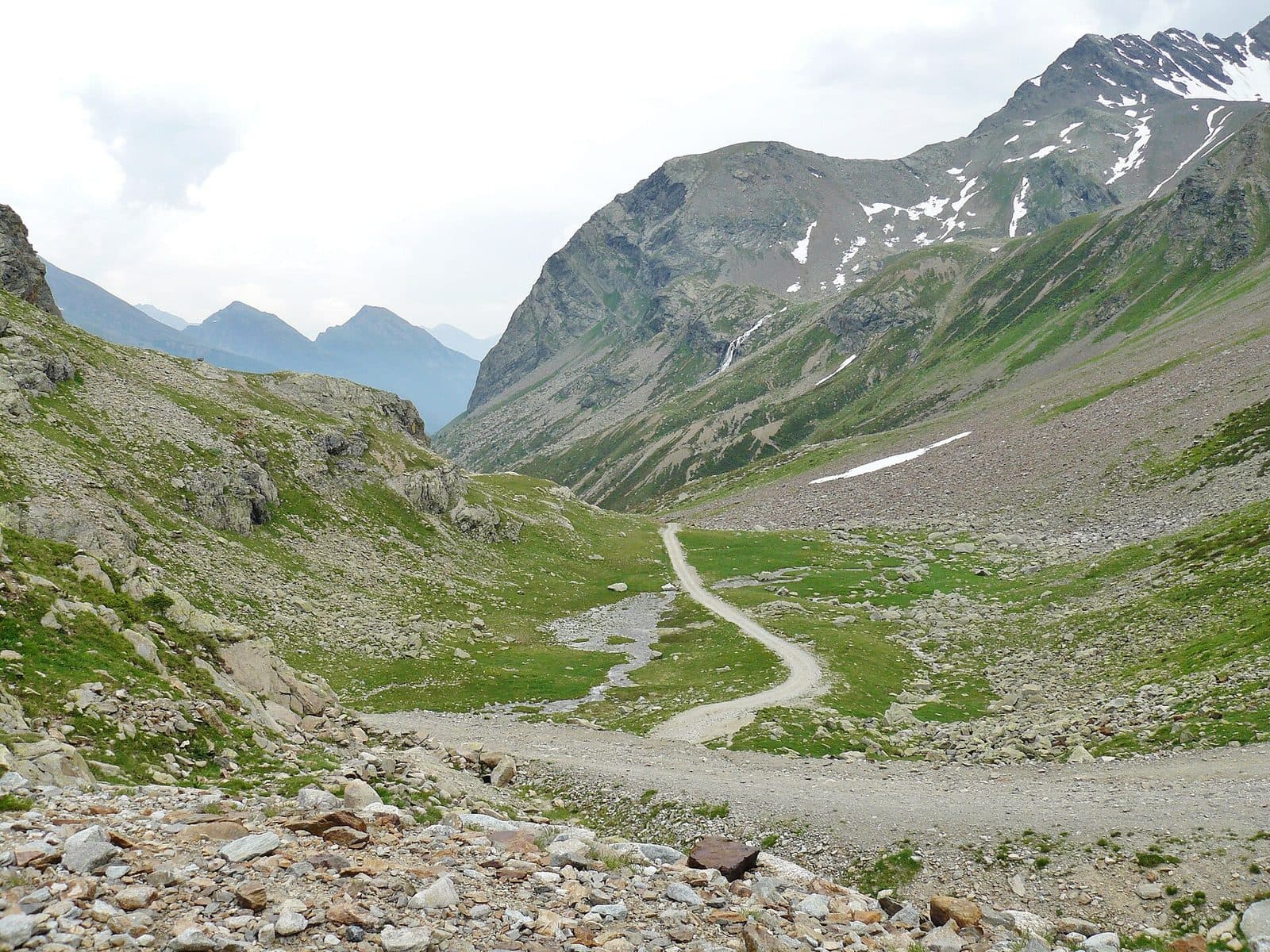
Photo: qwesy qwesy · CC BY 3.0

Easy to reach from Tirano
Distance and time from Tirano are calculated to the nearest point reachable by car to the place of interest: the rest of the route is on foot. Always check the route and distances carefully before setting out, also for possible seasonal or temporary closures of roads and passes.
2,301 metres between the Val Grosina and the Upper Valtellina: the way of Venetian merchants and smugglers, of herdsmen and valley people in the emergency of 1987, today a wide, panoramic track that starts from Eita.
- Type
- Mountain passes and springs
- Municipality
- Grosio
- From Tirano
- Opening
- June 15 - September 30An outdoor place, always reachable. At altitude snow can make roads and paths impassable: they generally clear from June-July to September. An estimate based on the altitude.Indicative dates, not official: check before you go.
- Activities
- HikingMountain bikingTrekking
The way of Venice
The Verva Pass, 2,301 metres (2,314 according to some sources), is a pass of the Livigno Alps that joins the Val Grosina, to the south, with Bormio and the Valdidentro to the north. It is not a road open to vehicles: it is a track reserved for those who walk and pedal, and for this reason it has kept its character intact. The route follows for the most part ancient herdsmen's paths and, from the sixteenth century, the routes that linked the Republic of Venice with the German-speaking regions north of Livigno. It is said that the shortest route of the Venetian merchants from Brescia went right through here: crossing the Mortirolo, descending to Grosio, going up the whole Val Grosina and climbing to the Verva Pass, where a good mule track ran.
Contested pastures and smuggling
These precious pastures were contested between Grosio and Bormio, and the dispute led to a feud in 1375. In the twentieth century the pass was a smuggling route. And in 1987, during the emergency of the Val Pola landslide, which cut off the Upper Valtellina, it was used to reach the upper valley from Grosio: an ancient passage that became useful again when the modern roads were cut.
Lakes and marmots
From Eita the path is wide, all unpaved, suited to anyone with a bit of breath: the signs indicate the pass at about two hours ten minutes' walk. Along the climb is the Lago Acque Sparse, formed by a rockfall that dammed the Rio di Verva, and a short detour leads to the Lago Calosso, in about twenty minutes. On the pass you meet marmots, and on the other side you descend towards the Valdidentro.
From Tirano: distance, driving time and day trip
Verva Pass from Tirano: about 55 minutes by car (34 km) to Eita, in the Val Grosina; then you continue on foot. You follow the SS38 and the SP27 to Grosio, then the Val Grosina road to Fusino, where you buy the permit to go up to Eita. To these times add the walk described on this page: plan your day accordingly. From Tirano, the Alpine Hub of the Valtellina, you can easily organise day trips: in the evening you return to restaurants, shops and a good dinner.
How to get there
From Tirano follow the SS38 and the SP27 to Grosio, then the Val Grosina road to Fusino: here you buy the daily permit to continue to Eita (about 1,700 metres). From Eita an unpaved track climbs to the Verva Pass in about two hours ten. Alternatively from the Val Viola, from Arnoga.
What to do
From Eita the pass is a walk for everyone, among woods, pastures and lakes: one of the loveliest of the Upper Valtellina. By mountain bike it is a classic: you can climb from the Val Grosina and descend into the Val Viola, or do the loop the other way round.
Before you go
The track is closed to vehicles: it is done on foot or by bike. The altitudes of the village of Eita and of the pass vary from one source to another: check an up-to-date map. Check conditions and opening times of the Eita hut.
Gallery
Photo: qwesy qwesy · CC BY 3.0, qwesy qwesy · CC BY 3.0, qwesy qwesy · CC BY 3.0, qwesy qwesy · CC BY 3.0, qwesy qwesy · CC BY 3.0