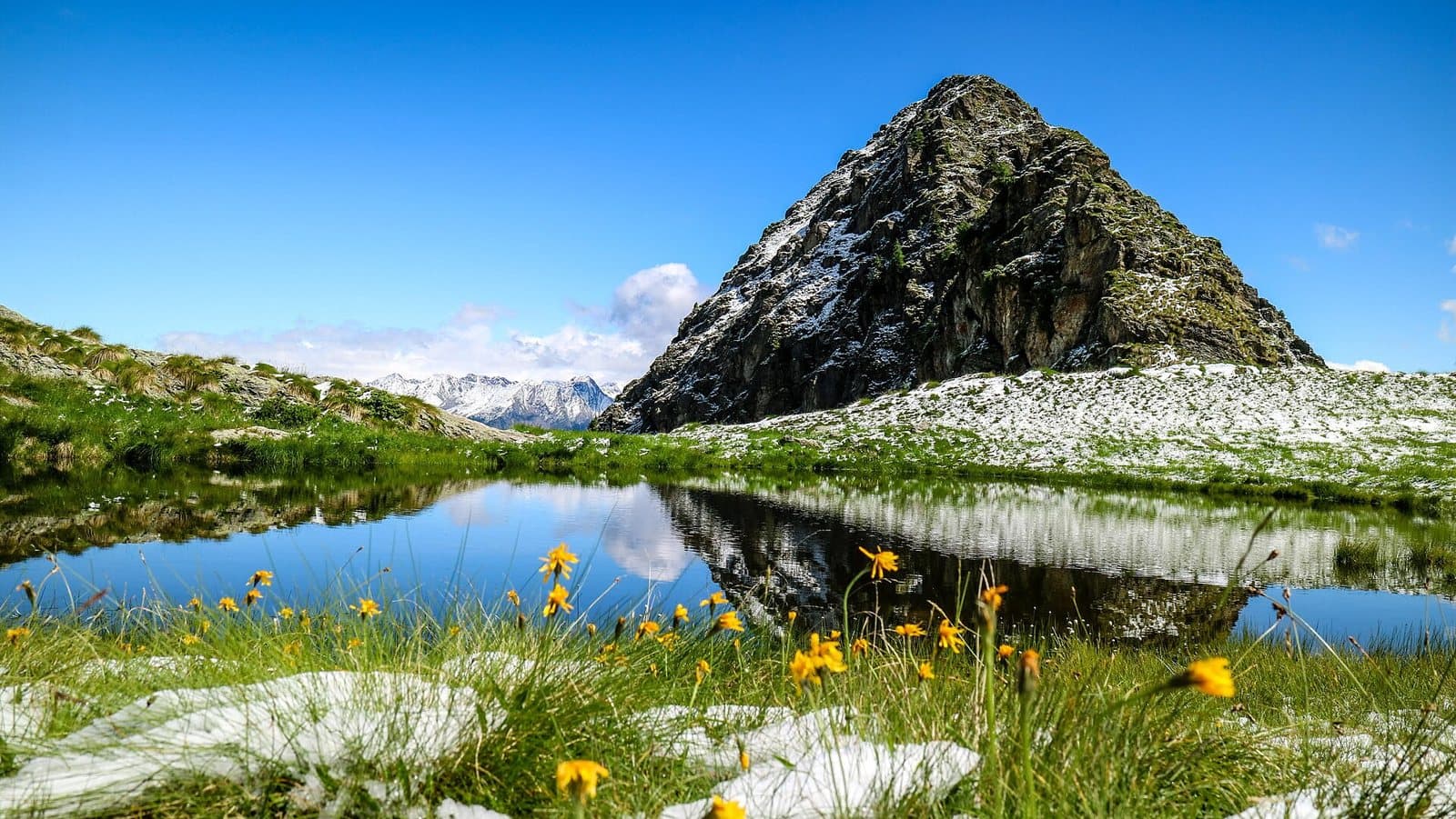
Photo: Noperation · CC BY-SA 4.0

Easy to reach from Tirano
The route
- Highest point
- 1,961 m
- Lowest point
- 1,092 m
The track is derived from OpenStreetMap (© OpenStreetMap contributors, ODbL licence) and is indicative: ascents and altitudes are estimates. Before setting out always check the route, difficulty, conditions and any seasonal or temporary closures.
A web of marked trails around Magnolta, Palabione and the Val Sorda: the Magnolta Trail, the Gembro, the Valentina and the Alpini Trail, a few kilometres each, to choose the ride that fits.
A playground above Aprica
Above Aprica, between Magnolta, Lake Palabione and the Val Sorda, the area is crossed by marked mountain-bike trails. The main ones are the Magnolta Trail (about 5 kilometres), the Gembro (about 8), the Valentina (about 4) and the Alpini Trail (about 6), with shorter links between Palabione, Baradello and the Val Sorda. Lengths and names are those of the map data: each track has its own character, between woodland descents and scenic stretches.
How to use them
They can be ridden on their own or joined into longer rides, and are a good training ground for those who want to move on to more technical trails without setting out for a full day. Aprica also has a summer season with lifts and services: Komoot's guide to the area collects dozens of routes, from the climbs to Lake Palabione to longer rides towards the Passo Venerocolo.
From Tirano: distance, driving time and day trip
The Aprica trails: Magnolta, Gembro, Valentina, Alpini from Tirano: about 35 minutes by car (23 km) to the starting point (Aprica); then you continue by bike along the route. To these times add the ride described on this page: plan your day accordingly. From Tirano, the Alpine Hub of the Valtellina, you can easily organise day trips: in the evening you return to restaurants, shops and a good dinner.
How to get there
The recommended starting point is Aprica, reachable by car from Tirano (times above); those travelling without a car can consider the train to the nearest town and then the bike. Download the GPX track from this page and save the maps offline before setting out: the mobile network may be missing.
How to ride it
Choose a trail, download the track and judge the climbs according to your fitness. Some sections may require pushing the bike: carry gloves, a helmet and a repair kit.
Before you go
Check the weather, the route conditions and any seasonal or temporary closures of roads and paths. Carry a helmet, water, food, a repair kit and a charged phone: the single emergency number is 112. Respect walkers, animals and protected areas, and always give way to those on foot.
Gallery
Photo: Noperation · CC BY-SA 4.0