Photo: Snowdog · Public domain

A lovely day trip from Tirano · by car to the nearest point, then on foot
Distance and time from Tirano are calculated to the nearest point reachable by car to the place of interest: the rest of the route is on foot. Always check the route and distances carefully before setting out, also for possible seasonal or temporary closures of roads and passes.
Before you set out, check that the hut is actually open on its official website.
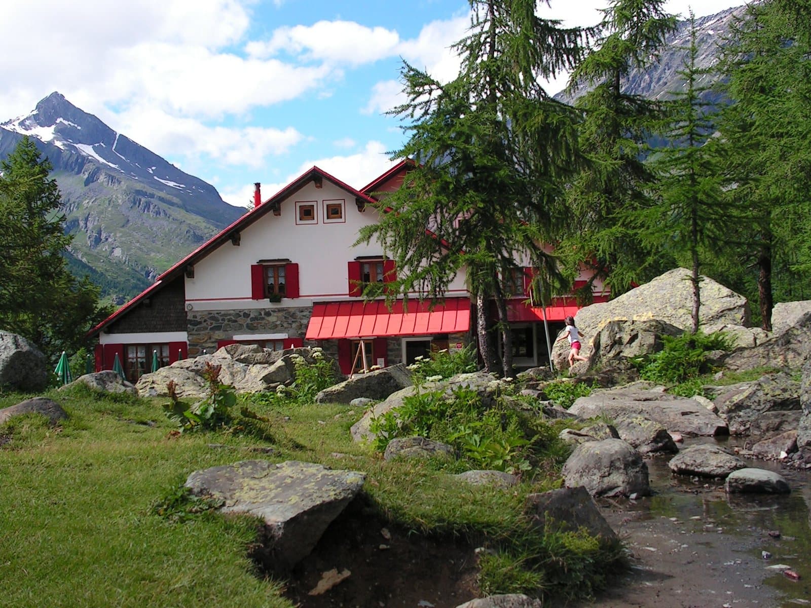
Go to the official website ↗At 1,965 metres, among larches and boulders, a CAI Milano hut with the Ventina glacier before your eyes, in the heart of the Disgrazia group.
- Type
- Mountain hut
- Municipality
- Chiesa in Valmalenco
- From Tirano
- Visit time
- Opening
- June 15 - September 12Booking advisedEvery day from 15 June to 12 September; at weekends in other periods.Checked on October 29, 2026.
- Official website
- rifugiogerliporro.it
- Activities
- TrekkingHikingMountaineeringSki mountaineering
Beneath the glacier, in the heart of the Disgrazia
The Valmalenco road ends at Chiareggio, at 1,612 metres, in a hamlet of stone and wooden houses. From here the path starts flat along the Mallero, crosses the stream on a bridge and slips into the Val Ventina, among larches and meadows. The higher you climb, the narrower the valley becomes and the taller the walls. Then, among the firs, a red and white roof appears: it is the Gerli-Porro hut, at 1,965 metres.
A valley of ice and rock
The Val Ventina is one of the gateways to the Disgrazia group. Around the hut rise the Pizzo Cassandra, the Punta Kennedy, the Sentinella della Vergine, the Pizzo Rachele and the Pizzo Ventina. Higher up, hidden by the ridges, is the Monte Disgrazia (3,678 m). In front of the hut the Ventina glacier descends in a great white tongue between the dark rocks. All around, the conifer forest and erratic boulders. A place for those who want to look at the ice without making a real mountaineering climb.
A CAI Milano hut
The hut, whose full name is "Amerigo e Maria Gerli e Augusto Porro", belongs to the Milan Section of the CAI. It has about 90 dormitory beds and a winter room with around ten places. There are a bar and a restaurant. This is where those who walk the Ventina Glaciological Trail stop, as well as those climbing towards the higher peaks. The hut is also the end of the second stage and the start of the third stage of the Alta Via della Valmalenco.
From Tirano: distance, driving time and day trip
Gerli-Porro Mountain Hut from Tirano: about 1 hour 15 minutes by car (56 km), to the nearest starting point; then you continue on foot. You drive down the SS38 towards Sondrio and up the Valmalenco to Chiesa and, for the higher destinations, to Lanzada and Chiareggio. To these times add the walk described on this page: plan your day accordingly. From Tirano, the Alpine Hub of the Valtellina, you can easily organise day trips and itineraries: in the evening you return to restaurants, shops and a good dinner.
How to get there
From Chiesa in Valmalenco follow the road to Chiareggio (about 12 km, via San Giuseppe) and leave the car in the car parks of the basin. From the valley floor you go down to the bed of the Mallero, cross the bridge and continue into the Val Ventina forest. In about 1 hour to 1 hour and a quarter, with about 350–385 metres of ascent, you reach the hut. The path is well marked and suitable for any hiker used to walking.
What to do
In summer: the walk to the glacier along the Glaciological Trail, excursions to the small lakes and nearby peaks, mountaineering on the peaks of the Disgrazia group. In spring: ski mountaineering.
Before you go
The site reports daily opening from 15 June to 12 September, with weekend openings at other times. Always check the actual opening on the official website, rifugiogerliporro.it, before setting out. Book on 0342 1856212 or by email at info@rifugiogerliporro.it.
Gallery
Photo: Gaggi Luca 76 · CC BY 3.0, Gaggi Luca 76 · CC BY 3.0, Snowdog · Public domain, Gabriele Benedetti · CC BY-SA 4.0, @gcarapella · CC BY-SA 4.0