Photo: Svíčková · CC BY-SA 3.0

A lovely day trip from Tirano · by car to the nearest point, then on foot
Distance and time from Tirano are calculated to the nearest point reachable by car to the place of interest: the rest of the route is on foot. Always check the route and distances carefully before setting out, also for possible seasonal or temporary closures of roads and passes.
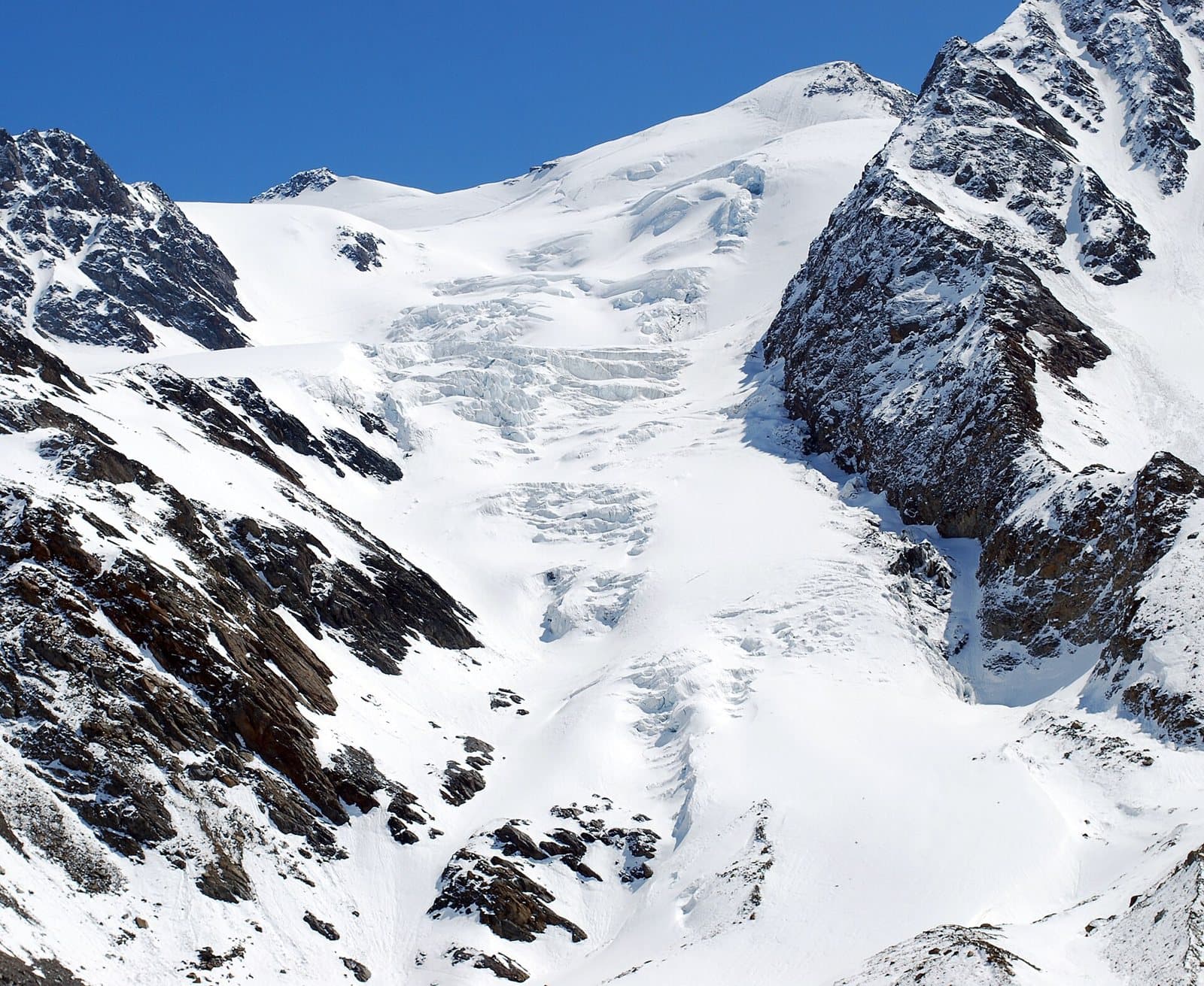
3,769 metres in the heart of the Stelvio Park: a mountain of gentle snow and broad glaciers, the «easy climb» of the group, at the crossroads of Valfurva, Val di Peio and Val Martello.
- Type
- Mountain
- Municipality
- Valfurva
- From Tirano
- Opening
- June 15 - September 30An outdoor place, always reachable. At altitude snow can make roads and paths impassable: they generally clear from June-July to September. An estimate based on the altitude.Indicative dates, not official: check before you go.
- Activities
- MountaineeringSki mountaineering
The crossroads of the glaciers
The Monte Cevedale, 3,769 metres, stands exactly on the border between Lombardy (province of Sondrio) and Trentino, and is the third summit of the group after the Ortles and the Gran Zebrù. In the heart of the Stelvio National Park, it is an important junction: here converge the ridges that divide the Val de la Mare (a side valley of the upper Val di Peio), the Val Cedec (a tributary of the Valfurva) and the upper Val Martello. It has three faces: two in Lombardy, one in Trentino. Unlike the Ortles and the Gran Zebrù, made of dolomite, here the rock is phyllite, softer, and the shapes are gentle: broad, regular snow slopes, soft ridges.
A mountain within (almost) everyone's reach
This is why the Cevedale is among the most approachable climbs of the group, even if it remains a glacier climb. From the Lombard side the normal route starts at the Casati hut (3,256 m): a route on glacier with some crevasses, difficulty F, about two hours. It is a climb to be done with crampons, ice axe and preparation, but without technical passages.
History and great traverses
Mountaineering history gives as first ascent the lower summit, on 13 August 1864, by the Austrians Mojsisovics and Janiger; the main summit was reached on 7 September 1865 by Julius Payer, J. Pinggera and J. Reinstadler. From the Cevedale starts one of the longest and most spectacular ridge traverses of the Alps, the «Traverse of the 13 Peaks», completed in 1891 by Christomannos, von Krafft and Schmitt: 17 kilometres of ridge, from the Pizzo Tresero along all the peaks of the Forni Glacier, difficulty AD-.
From Tirano: distance, driving time and day trip
Monte Cevedale from Tirano: about 1 hour 15 minutes by car (57 km) to the Forni valley, at Santa Caterina Valfurva; then you continue on foot to the Casati hut. You follow the SS38 dello Stelvio to Bormio and go up to Santa Caterina Valfurva; from there the Forni valley road (with a toll in the summer and spring periods) reaches the Forni hut. Climbs at altitude take a full day and often a night in a hut, but Tirano, the Alpine Hub of the Valtellina, remains the ideal base for preparing and for returning: hotels, restaurants, shops and the Red Train station a step away.
How to get there
From Bormio go up to Santa Caterina Valfurva; here begins the paved Forni valley road, 5.5 km long, for which a ticket is required in spring and summer. From the Forni hut you continue on foot to the Branca hut and the Casati hut (3,256 m), from where the normal route to the Cevedale starts. From the Trentino side you go up from Malga Mare, in the Val di Peio.
What to do
The Cevedale can be admired from the Pizzini-Frattola hut, at the end of the Forni valley, with the Forni Glacier and the great glacier before your eyes: it is already a spectacle. Those who go on foot can continue to the Branca hut and the Casati hut, the highest, on the way to the summit. In spring the Forni valley is also ski mountaineering and snowshoeing.
Before you go
Glacier with crevasses: crampons, ice axe, rope and preparation are needed. The summit is on the border between Lombardy and Trentino. Hut opening times change: check the official websites before setting out. In the group the weather changes quickly.