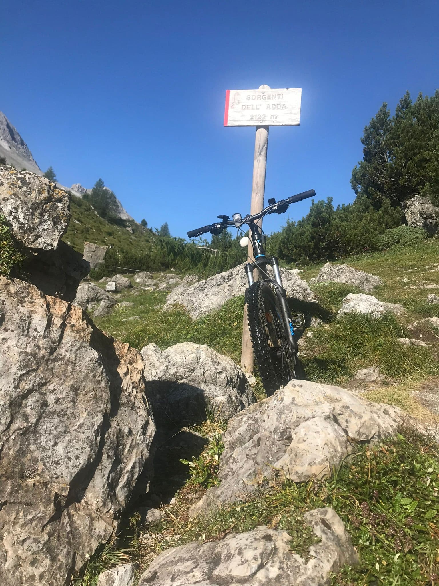
Photo: © Claudio Corcoglioniti
A lovely day trip from Tirano
Distance and time from Tirano are calculated to the nearest point reachable by car to the place of interest: the rest of the route is on foot. Always check the route and distances carefully before setting out, also for possible seasonal or temporary closures of roads and passes.
Where a thread of icy water leaves the rock and begins a 313-kilometre journey: a walk in Val Alpisella, among larches, little lakes and marmots, to the birthplace of the river that makes Valtellina.
- Type
- Mountain passes and springs
- Municipality
- Valdidentro
- From Tirano
- Visit time
- Opening
- June 15 - September 30An outdoor place, always reachable. At altitude snow can make roads and paths impassable: they generally clear from June-July to September. An estimate based on the altitude.Indicative dates, not official: check before you go.
- Interests
- Nature and Landscape
- Activities
- HikingTrekking
It all begins with a thread of water. High in Val Alpisella, on a pasture slope above two thousand metres, water wells up from underground on the southern flank of the Pizzo Aguzzo ridge, icy and clear. That thread will become the Adda, a river 313 kilometres long. Few walks have a destination so simple and so poetic: arriving where a great story begins.
From there the river sets off on a long journey. It passes through the lakes of San Giacomo and Cancano, crosses Valdidentro and Bormio, runs down the whole of Valtellina, from Tirano to Sondrio, enters Lake Como at the north, leaves it at Lecco and continues across the Lombard plain until it joins the Po near Cremona. Following it on a map is a way of seeing the whole of alpine Lombardy; knowing where it is born, a small privilege.
We are in the Stelvio National Park, in a valley of pastures, rocks and high-mountain torrents. Val Alpisella links the Fraele Valley to Livigno across the Alpisella Pass, at 2,285 metres, and is the watershed between the Adda basin, which flows to the Po and the Adriatic, and that of the Inn, which carries its waters to the Danube and the Black Sea. A few steps are enough to find yourself, without noticing, in two different worlds.
To reach the springs you set off from the Passo di Fraele, in the municipality of Valdidentro, where you leave the car. Shortly after the car park a small bridge crosses the Adda, and from there trail marker 138 begins: the first stretch climbs through a fine larch wood, then the valley opens out up to the Passo della Val Alpisella. The full loop, with the springs and the little lakes, measures about 10.7 kilometres, 385 metres of ascent and three hours of walking, a hiking difficulty (E) within reach of anyone used to walking.
The official springs lie on the opposite side of the valley, fifteen minutes' walk from a signpost. Here the water comes out of the ground and you can drink and refresh yourself, with the particular emotion of drinking at the source of a river that will cross almost the whole region.
A little further on, the Alpisella Lakes are one of the loveliest sights: the valley suddenly opens onto meadows, rocks, water and peaks, with mountain pines dotting the last stretch. Wildlife is generous: marmots and chamois are often seen, and those who set off early may meet roe deer and, with luck, red deer.
Those who want a longer day can come from Livigno. From the Pemont area, near the church of Santa Maria, the path skirts Lake Livigno to the Ristoro Alpisella, then enters the Stelvio Park: about eight kilometres and four hours of walking, with about 480 metres of steady climbing, not to be underestimated. From the little lake you continue to the springs and then to the Cancano lakes, in a traverse that joins Livigno and Valtellina, and those who love adventure can combine it with Val Trela for a two-day loop.
A few tips. You need boots, a rucksack, a windproof jacket, poles, water and binoculars, and for long traverses something warmer. Check access times with the Valdidentro tourist office before setting out: in summer the road to Cancano may have restrictions (car entry is allowed until eight in the morning, exit after six in the evening) and in July and August a shuttle service runs. An ideal destination for a clear day, with the certainty of something rare: having seen a river being born.
From Tirano: distance, driving time and day trip
Sources of the Adda from Tirano: about 1 hour 25 minutes by car (63 km). You drive up the SS38 to Bormio and continue towards Livigno (SS301) through Valdidentro, the heart of Alta Valtellina and gateway to the Val Viola and the Fraele valley. A day excursion from Tirano: easy roads, a morning start and back in the evening at your hotel, with time to visit unhurriedly. From Tirano, the Alpine Hub of the Valtellina, you can easily organise day trips and itineraries: in the evening you return to restaurants, shops and a good dinner.
Refreshment stops
Before you set out, always check that the hut is actually open on its official website.
Mountain hut & refreshments
Ristoro Val Alpisella
Gallery
Photo: © Claudio Corcoglioniti