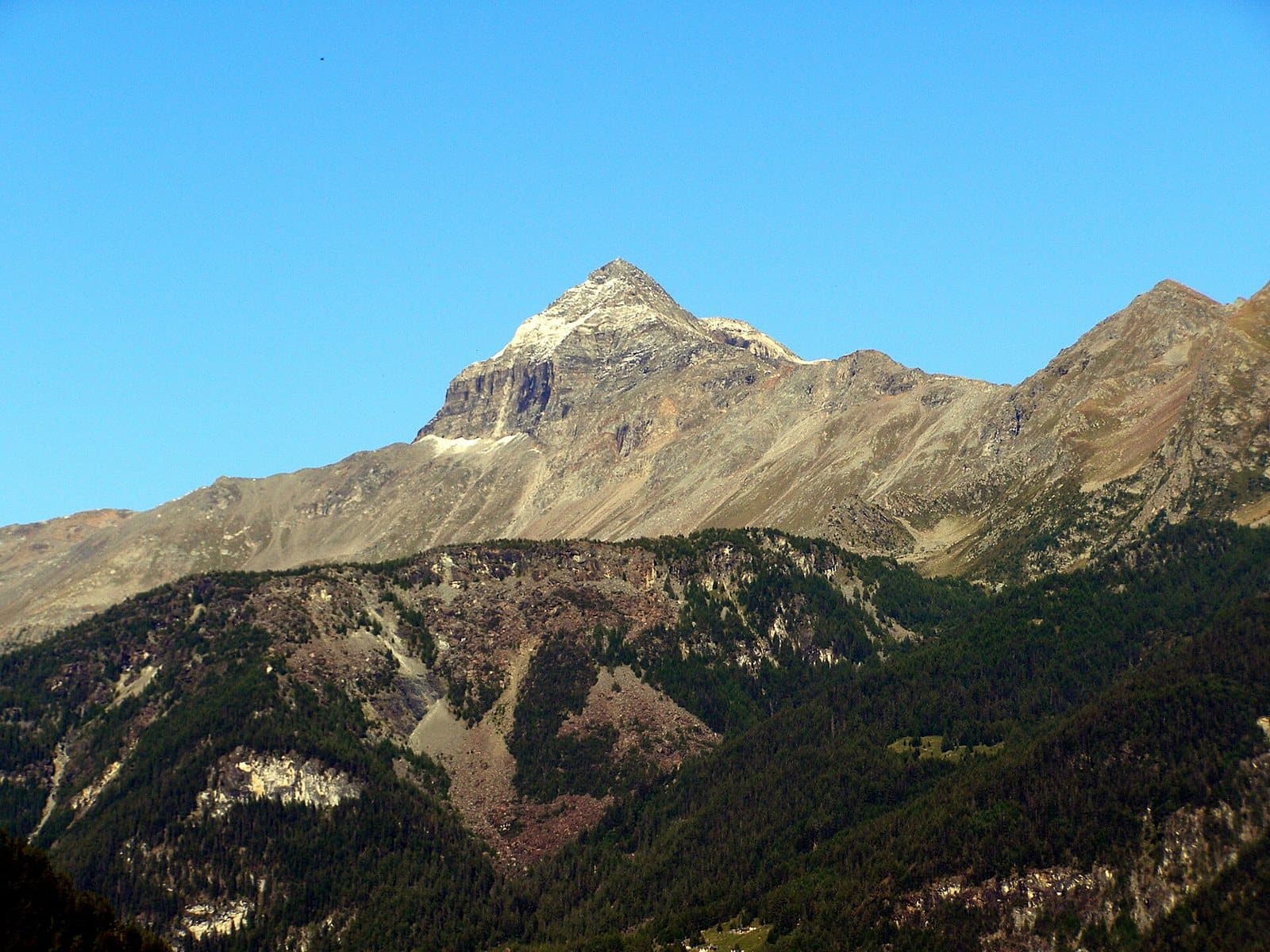
Photo: Luca Celoria · Public domain

A lovely day trip from Tirano · by car to the nearest point, then on foot
Small high-altitude lakes below the Pizzo Scalino, in the hollow of the Campagneda alpine pasture, at about 2,400 metres, on the way to the Passo di Campagneda.
The little lakes below the Scalino
Above Campo Moro, in the hollow of the Campagneda alpine pasture, lie hidden the Campagneda Lakes: small mirrors of water at about 2,400 metres, below the great mass of the Pizzo Scalino. It is a valley of pastures and rocks, where marmots and chamois are easily met, and where the horizon is a profile of peaks along the Swiss border: the Pizzi Palù, Zupò and Argient.
A route among huts
The route to the lakes touches the Ca' Runcasch and Cristina huts, two restored old dairies. Those who want to walk further can continue towards the Passo di Campagneda and, soon after, the Passo Canciano (2,464 m), on the border with the Swiss Val Poschiavo. A guided itinerary describes it as medium-easy, about five and a half hours and 550 metres of ascent.
From Tirano: distance, driving time and day trip
Campagneda Lakes from Tirano: about 1 hour 40 minutes by car (59 km), to the nearest starting point; then you continue on foot. You drive down the SS38 towards Sondrio and up the Valmalenco to Chiesa and, for the higher destinations, to Lanzada and Chiareggio. To these times add the walk described on this page: plan your day accordingly. From Tirano, the Alpine Hub of the Valtellina, you can easily organise day trips and itineraries: in the evening you return to restaurants, shops and a good dinner.
How to get there
The starting point is Campo Moro, reached in normal conditions from Lanzada.
Before you go
Bring water, a jacket and an up-to-date map: the altitudes of the lakes vary according to sources.
Warning: road closed by a landslide
The municipal road from Lanzada to Franscia and Campo Moro is closed because of the landslide of November 2025 and, according to the Zoia hut, will stay closed for the whole winter 2026/27. A free shuttle bus ran in summer. Before setting out, check the state of the road and the alternative routes with the Municipality of Lanzada.