Photo: Capricorn4049 · CC BY-SA 4.0

Easy to reach from Tirano
Distance and time from Tirano are calculated to the nearest point reachable by car to the place of interest: the rest of the route is on foot. Always check the route and distances carefully before setting out, also for possible seasonal or temporary closures of roads and passes.
2,315 metres, from Poschiavo to Livigno without a single hairpin: the border pass that joins a valley south of the Alps, but Swiss, with a valley north of the Alps, but Italian.
- Type
- Mountain passes and springs
- Municipality
- Livigno
- From Tirano
- Opening
- Days and hours not verified: check before you go.The road is open only in summer: check the closures.
- Activities
- Road cyclingMountain bikingHiking
A pass that turns geography around
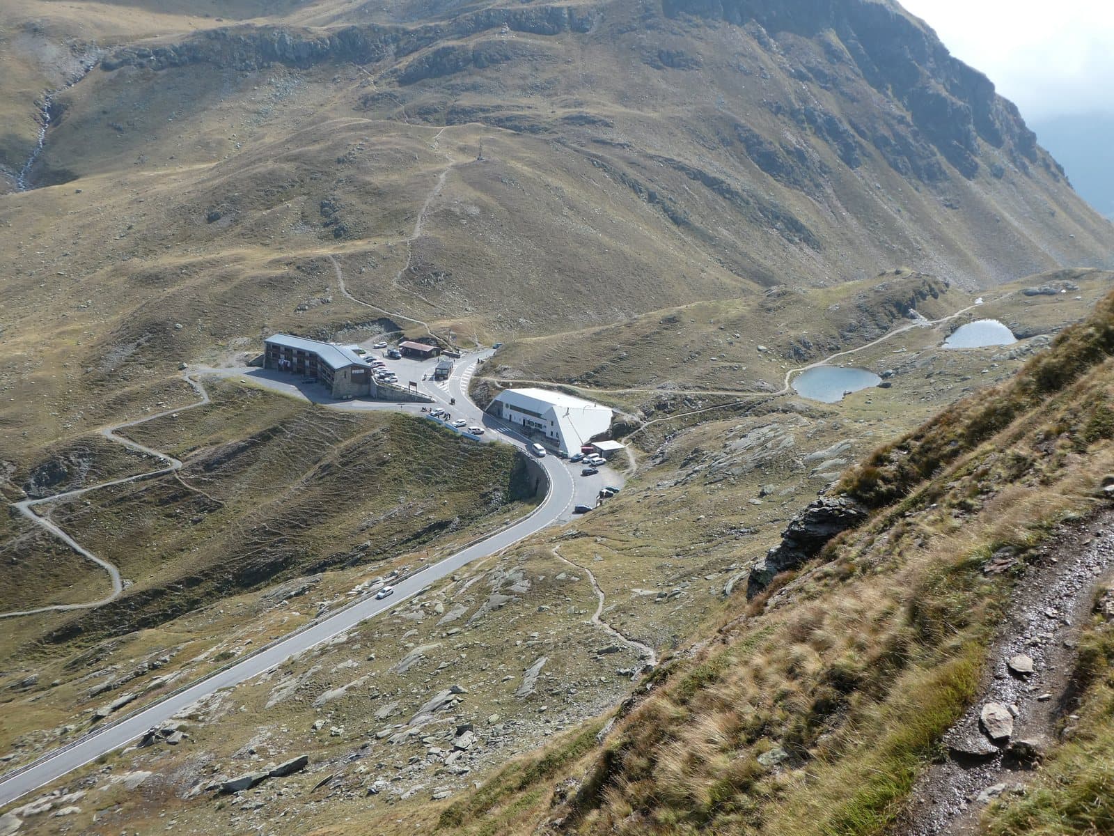
The Forcola di Livigno, 2,315 metres (in Livigno dialect «la Fórcola», in Romansh Fuorcla da Livign), is a pass of the western Rhaetian Alps on the Italian-Swiss border, crossed by the road that connects Livigno, in the extra-customs zone, with Poschiavo, in the Grisons. It has a feature that makes it unique: it joins a valley south of the Alps but politically Swiss, the Val Poschiavo (Adda basin), with a valley north of the Alps but politically Italian, the Val di Livigno (Inn basin). The Predil Pass shares this peculiarity. Orographically it divides the Livigno Alps in two.
A road without hairpins
On the Italian side, the one that climbs from Livigno, there is not a single hairpin: the road runs in very long straights, interrupted by short flat stretches, without looking out on any mountains of note. The other side, Swiss, is more tortuous, and at times lets you see some peaks of the Rhaetian Alps. The Italian customs post is at the pass, because the pass is on the border; the Swiss one is further down, near where the road meets the cantonal road climbing to the Bernina.
A summer shortcut
It is the shortcut between the Bernina road and Livigno: in summer it offers an alternative, and very scenic, route to go up to Livigno from Tirano through Switzerland. In winter, like many alpine passes, it closes.
From Tirano: distance, driving time and day trip
Forcola di Livigno from Tirano: about 40 minutes by car (34 km), through Switzerland. You cross the border at Campocologno, go up the Val Poschiavo to Poschiavo and then the Bernina road to the junction for the Forcola. From Tirano, the Alpine Hub of the Valtellina, it is an ideal day: you set out in the morning, stop at the hairpins and at the pass and in the evening return to restaurants, shops and a good dinner.
How to get there
From Tirano cross the Swiss border at Campocologno and go up to Poschiavo; from here take the Bernina road to the junction for the Forcola di Livigno and climb to the pass, where the Italian customs post is. From Livigno it is a few kilometres, with no hairpins.
What to do
From the pass you can walk along the border: a few steps away starts the path to the Monte Vago and its turquoise lake. On mountain bikes and road bikes the Forcola is a long, regular climb, from the Swiss side as from Livigno.
Before you go
Valid documents are needed for the border crossing and at customs they may check luggage and purchases. The road is open only in summer: check closures and weather before setting out. The time from Tirano is calculated with a map service and may be optimistic on Swiss mountain roads.
Photo: Sjaak Kempe · CC BY 2.0, Sjaak Kempe · CC BY 2.0, Zairon · CC BY-SA 4.0