Photo: Capricorn4049 · CC BY-SA 4.0

A lovely day trip from Tirano · by car to the nearest point, then on foot
Distance and time from Tirano are calculated to the nearest point reachable by car to the place of interest: the rest of the route is on foot. Always check the route and distances carefully before setting out, also for possible seasonal or temporary closures of roads and passes.
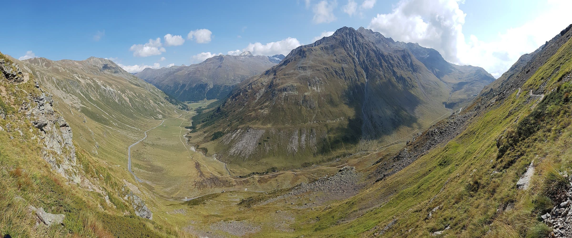
About 3,050 metres above the Forcola Pass: a turquoise lake on the way, a rocky ridge for experienced hikers and a Swiss border running beside the path.
A quiet three-thousander
The Monte Vago is one of the three-thousanders of Livigno: about 3,050 metres (sources say 3,050, 3,057, 3,058 and 3,059 metres), above the Forcola Pass, the crossing that joins Livigno to the Val di Campo, in Switzerland. Its character is that of border mountains: not crowded, of an essential beauty.
From the pass to the summit
The route starts from the car park near the barracks of the Forcola Pass, at about 2,315 metres, and follows a well-marked path along the Swiss border. After an easy stretch you reach the Lago Vago (about 2,680 metres), with its turquoise waters, and the little saddle on the ridge. Up to here the walk is without difficulty, so that the lake suits families too. The final climb is along a rocky ridge, advisable only to experienced hikers: sources report exposed passages, scrambling and friable ground.
The numbers
About 750 metres of ascent from the pass, in about two hours one way (estimates vary between 1 hour 45 and 2 hours 15). The terrain is exposed to the sun in summer; in spring and early summer the north ridge can be snow-covered.
From Tirano: distance, driving time and day trip
Monte Vago from Tirano: about 1 hour 15 minutes by car (78 km) to Livigno; then you continue to the Forcola Pass and walk. You follow the SS38 dello Stelvio to Bormio, then the SS301 over the Foscagno Pass to Livigno. In summer from Switzerland there is also the road that reaches the Forcola from Poschiavo, for a shorter and more scenic journey. To these times add the walk described on this page: plan your day accordingly. From Tirano, the Alpine Hub of the Valtellina, you can easily organise day trips: in the evening you return to restaurants, shops and a good dinner.
How to get there
From Livigno take the Forcola Pass road (closed in winter) to the car park near the barracks, at about 2,315 metres. From here a marked path follows the Swiss border to the Lago Vago and the saddle, then the ridge leads to the summit.
What to do
The Lago Vago is already a beautiful goal on its own: an hour's walk among pastures and rocks, with the turquoise lake and the Swiss border beside you. For those who climb to the top, the view embraces Livigno, the Val di Campo and the peaks on the border.
Before you go
The final stretch is for experienced hikers: friable ground, exposed passages and scrambling; in spring and early summer the ridge can be snow-covered. The Swiss border is beside the path: carry a valid ID. The Forcola road is closed in winter.