Photo: MatthewGhera · CC BY 3.0
Easy to reach from Tirano
The green valley of the Bernina Alps: soapstone and serpentine for five thousand years, the Ventina glacier, the cable car to Alpe Palù and an eight-day High Route above 2,000 metres.
- Type
- Valley
- Municipality
- Chiesa in Valmalenco
- From Tirano
- Visit time
- Opening
- June 15 - September 30An outdoor place, always reachable. At altitude snow can make roads and paths impassable: they generally clear from June-July to September. An estimate based on the altitude.Indicative dates, not official: check before you go.
- Activities
- HikingTrekkingMountaineeringClimbingMountain bikingAlpine skiing
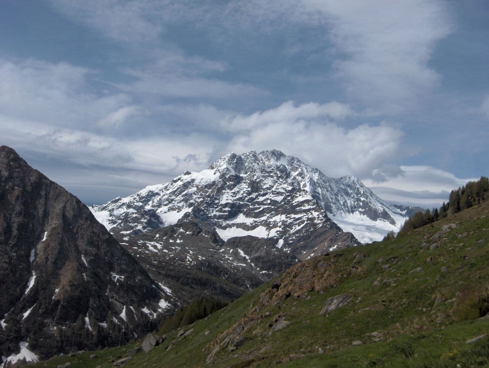
If Valtellina has a soul of rock, Valmalenco is its green heart. From Sondrio the valley climbs along the Mallero torrent for about fifteen kilometres of valley floor, in a frame of woods, pastures and glaciers, through the municipalities of Torre di Santa Maria, Spriana, Lanzada, Caspoggio and Chiesa in Valmalenco, the main centre. Here the Rhaetian Alps grow tall: Pizzo Bernina, at 4,049 metres, Punta Perrucchetti, at 4,020, and Monte Disgrazia, which looks down on the valley from every side.
It has always been a thoroughfare. One source recalls the Romans who opened, around AD 250, a road for caravans across the Muretto Pass; in the Middle Ages mineral extraction transformed the economy; under the Grisons, from 1512 to 1797, trade northwards revived. Today the paths climbing towards the passes are among the loveliest in the Alps.
But the heart of the valley is stone. For over five thousand years the same green rock has been quarried here: serpentine and its softer variant, soapstone, from which the typical roof slabs called piöde and the pots called lavéc are made. The Giovello quarry is among the oldest; its workers, the “giovellai”, extracted slabs by firelight, and the piode travelled by horse caravan along the valley road, towards Italy and the Grisons. The Museo diffuso del Serpentino, in the historic quarries, is restoring paths, signs and a workshop, to tell of a trade that shaped the valley's economy and society.
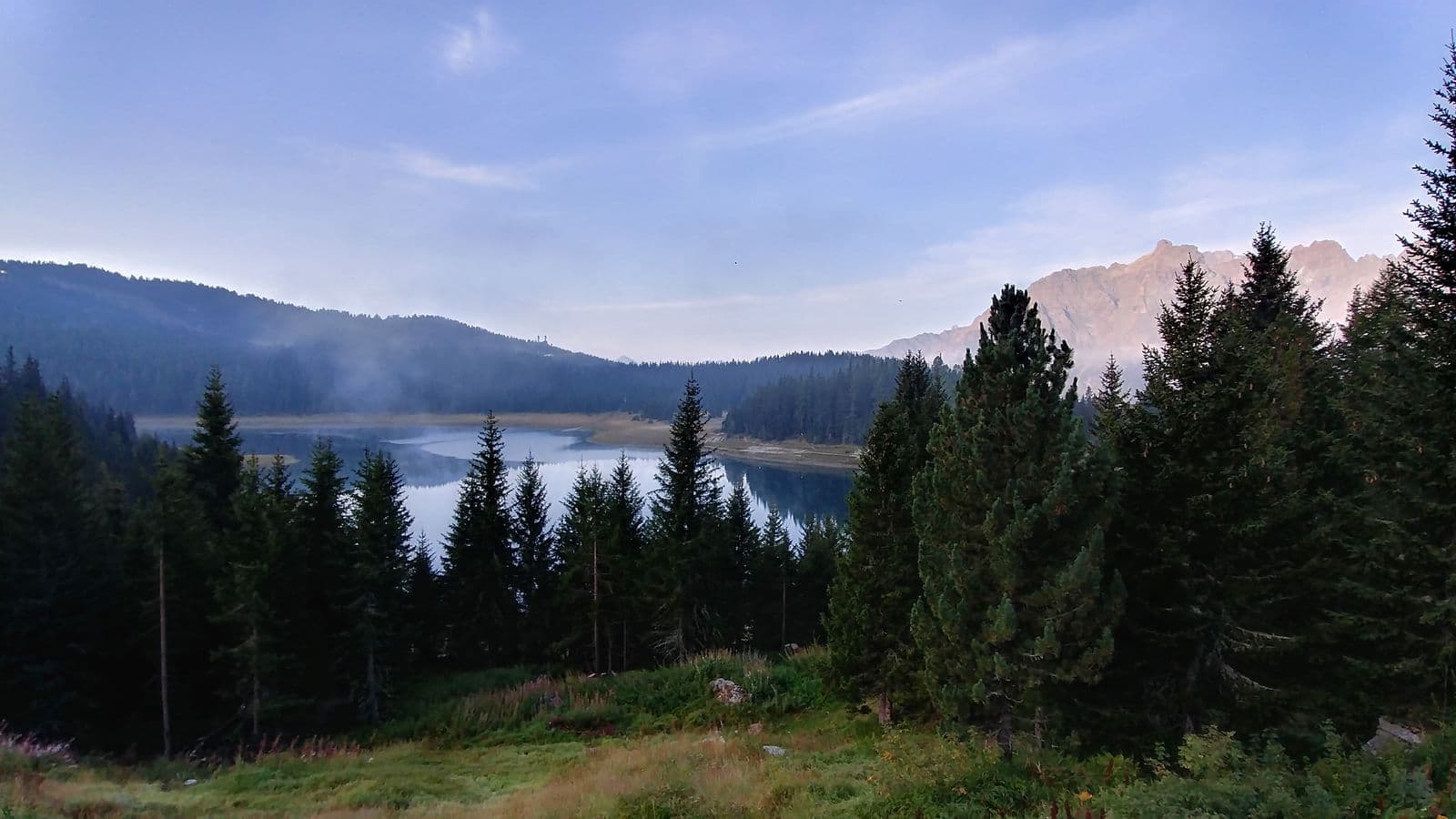
Then there is Alpe Palù. In 1964 the cable car was built that climbs from Chiesa to the Alpe, and from those years, with Caspoggio, the valley became a winter sports resort, with over sixty kilometres of pistes. In summer you go up to walk: Lake Palù, near the hut, is one of the best-loved destinations.
Higher up, at the head of the valley, lies the meeting with a retreating glacier, the Ventina. The Vittorio Sella Glaciological Trail, created in 1992, with signs showing the glacier's extent in past years, takes five or six hours of walking and tells, step by step, how much the climate is changing the mountain. It is an excursion that leaves its mark, at any age.
For those who want more, there is the Alta Via della Valmalenco: about 110 kilometres in eight days, almost always above 2,000 metres, with eleven huts and over 7,000 metres of ascent. It starts at Torre di Santa Maria, passes the Rifugio Bosio-Galli, the Ventina Pass, the Rifugio Ventina, Chiareggio, the Palù and the Rifugio Marinelli, and ends at Caspoggio. It is a trek for expert hikers, in the summer months.
The valley has fourteen huts, from 1,800 to 3,600 metres, a reminder that every altitude has its own way of walking. A valley that can do everything: ski, walk, climb, and tell its own story, stone by stone.
From Tirano: distance, driving time and day trip
Valmalenco from Tirano: about 50 minutes by car (43 km). You drive down the SS38 towards Sondrio and up the Valmalenco to Chiesa and, for the higher destinations, to Lanzada and Chiareggio. A comfortable trip: the round trip is easily done in a day, with plenty of time to visit and be back in Tirano for dinner. From Tirano, the Alpine Hub of the Valtellina, you can easily organise day trips and itineraries: in the evening you return to restaurants, shops and a good dinner.
Refreshment stops
Before you set out, always check that the hut is actually open on its official website.
Mountain hut & refreshments
Rifugio Alpe Palù - Da Beppe
Mountain hut & refreshments
Rifugio Gerli Porro
Mountain hut & refreshments
Rifugio Marinelli Bombardieri
Gallery
Photo: Snowdog · Public domain, MatthewGhera · CC BY 3.0, Gaggi Luca 76 · CC BY 3.0, Mænsard Vokser · CC BY-SA 4.0, Gaggi Luca 76 · CC BY 3.0, © Claudio Corcoglioniti