Photo: Rolenc · CC BY 3.0

Easy to reach from Tirano · by car to the nearest point, then on foot
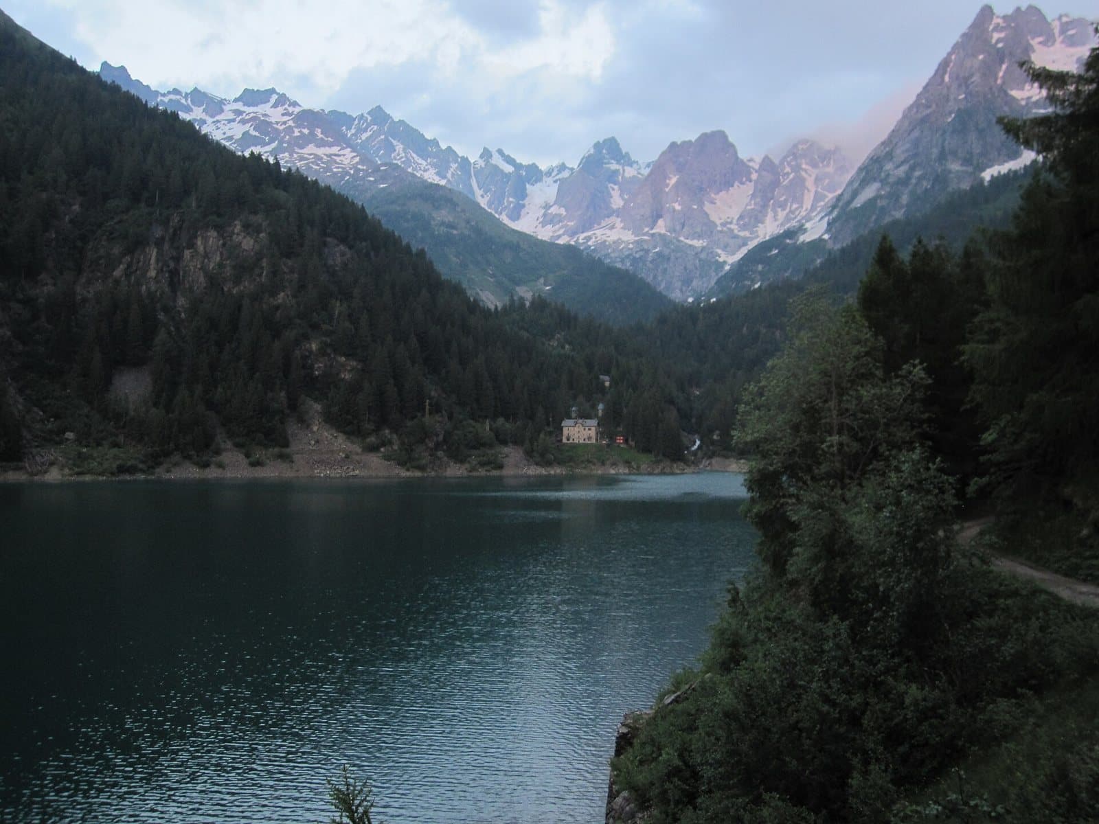
A turquoise reservoir at 1,494 metres, enclosed by woods and rock walls in the Val Caronno, with an easy loop around the lake and the gateway to the Mambretti hut.
- Type
- Lake
- Municipality
- Piateda
- From Tirano
- Visit time
- Opening
- May 15 - October 31An outdoor place, always reachable. At altitude snow can make roads and paths impassable: they generally clear from June-July to September. An estimate based on the altitude.Indicative dates, not official: check before you go.
- Interests
- Nature and LandscapeFamily
- Activities
- HikingTrekkingMountain biking
A turquoise lake enclosed by mountains
From Piateda the road climbs into the Val Venina and, at Vedello, forks: on the left you head for Agneda and the Val Caronno. Here, among woods and rock walls, hides Lake Scais, a turquoise reservoir at 1,494 metres, at the foot of a great white dam. The landscape is secluded and silent: a closed valley, almost a bowl, where the colour of the water changes with the light and the mountains are reflected as in a mirror.
An ancient submerged alp
Before the dam there was an alpine pasture here with a few small houses. The dam, built in 1939 by the Acciaierie e Ferriere Lombarde Falck to feed the Vedello power station, submerged the plain. Today the lake holds about nine million cubic metres of water, is up to 61 metres deep and covers about a quarter of a square kilometre. It lies where the two valleys, the Caronno and the Vedello, meet, and it receives the meltwater of the Scais and Porola glaciers.
A walk for everyone
From the car park below the dam it takes about fifty minutes, almost flat in the last stretch. Around the lake there is an easy loop of about seven and a half kilometres, in a little under three hours, which can be walked in either direction. You walk among woods, little bridges and views of the dam, and you can stop to watch the water.
For those who want to climb
From the lake the path continues in the Val Caronno to the Mambretti hut, at 2,004 metres, the starting point for the Punta di Scais, at 3,038 metres, among the highest peaks of the Orobie, or towards the Lake Zocco in the Val Vedello. At Agneda you can visit the church of Sant'Agostino, with a painting by Cipriano Valorsa, and at the Alpe Caronno the remains of ancient furnaces and iron mines.
From Tirano: distance, driving time and day trip
Lake Scais from Tirano: about 50 minutes by car (36 km), to the nearest starting point; then you continue on foot. You drive down the SS38 beyond Sondrio towards the Orobie valleys: it is one of the farthest destinations from Tirano, but rewards you with a quiet, little-trodden corner of the Valtellina. To these times add the walk described on this page: plan your day accordingly. Tirano is the ideal base to visit the Valtellina: hotels and B&Bs, restaurants, shops, supermarkets, the Bernina Red Train station and buses to get around.
How to get there
From Piateda follow the Val Venina road to Vedello and take the left branch towards Agneda. The main car park is on the Agneda plain, at 1,228 metres, with a picnic area. A dirt-and-concrete road leads almost to the foot of the dam: access requires a permit, the cost of which should be checked before setting out.
Before you go
The lake can be visited from spring to autumn. A bridge along the route was reported broken in August 2023: always check the state of the path before setting out.
Gallery
Photo: DanielaMarina · CC BY-SA 4.0, Stregatta79 · CC BY-SA 4.0, Orobicon · Public domain, Ras78 · CC BY-SA 4.0, Massimo Dei Cas · CC BY 3.0