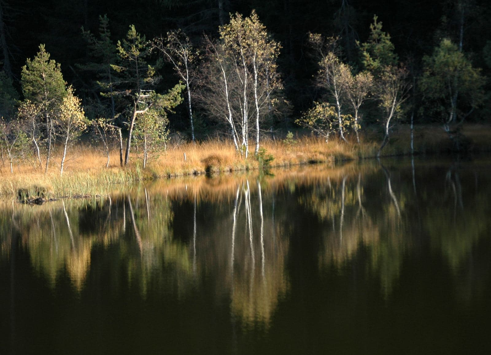
Photo: Giorsch · CC BY-SA 4.0

Very easy to reach
A peat bog born of glaciers, at 1,350 metres above Aprica: wooden walkways, carnivorous plants, amphibians to discover and the gateway to the pastures of Trivigno.
- Type
- Nature reserve
- Municipality
- Aprica
- From Tirano
- Visit time
- Opening
- Always accessibleAn outdoor place, always reachable (at low altitude; ice or snow possible in winter).Indicative dates, not official: check before you go.
- Activities
- HikingNordic skiingMountain biking
There are places where time is measured in millennia. At Pian di Gembro, at 1,350 metres, in the municipality of Villa di Tirano, a few minutes from Aprica, a whole one has been preserved: a peat bog born about ten thousand years ago, when a tongue of the Valtellina glacier, deviating from the main valley, flowed towards that of the Tonale. The silts and clays the ice left on the bottom made the basin watertight; from the original lake, little by little, as vegetation grew and sediments accumulated, the peat bog we see today was born.
Because of its rarity south of the Alps, the Lombardy Region protected it in 1988 by establishing the reserve, which covers about one hundred hectares: 22 of absolute reserve, 8 of controlled reserve and 70 of buffer zone. It is a partial botanical nature reserve and a Natura 2000 site, managed by the Comunità Montana Valtellina di Tirano.
And the peat bog also has a story of work. From the early 20th century until the 1970s peat was extracted here as fuel, with activity peaking between the wars; then other energy sources arrived, and extraction was abandoned. Of that work there remains a small lake, and at the centre of the area a pool eleven metres deep, the “eye” of the bog, surrounded by reedbeds.
The best way to discover it is on foot. The educational trail starts at the Visitor Centre, where there is also a bar-refreshment point, and continues for about five kilometres and two hours of walking, on path and dirt road, easy and with minimal ascent, up to a maximum of 1,420 metres. Wooden walkways lead into the heart of the wetland and eight panels explain the botany, geology and history of the place. It is a walk to be taken slowly, eyes lowered.
Because it is there, among the mosses, that the loveliest things happen. The peat bog hosts rare and curious plants such as the carnivorous Drosera, Pinguicula and Utricularia, which trap insects with their sticky leaves, and species typical of post-glacial periods such as bog bilberry and bog rosemary. Amphibians, dragonflies and grass snakes live among the water, and in summer the educational classroom offers small ecosystems to observe up close, with frogs, toads, newts and salamanders.
Along the way you also find viewpoints, with views of Valtellina and the little church of San Fortunato, and a historic military path that branches off towards Monte della Croce. It is a destination suitable for all ages and an ideal place for families: children learn by playing, adults discover how fragile and precious such an environment is.
Beside the reserve, the Ristoro Pian di Gembro, at 1,400 metres, is a hut furnished like a mountain chalet, warm and welcoming, with Valtellina cooking: cured meats, cheeses, pizzoccheri, polenta, donkey stew and seasonal mushrooms, and the homemade desserts by Tino, from rye and berry tarts to meringues. It is open in winter and summer, and in winter it also offers cross-country skiing, with equipment hire.
Pian di Gembro is also a threshold. From here the paved road climbs to 1,560 metres and then turns to dirt towards the Alpe di Trivigno, at the foot of Monte Giovello: an e-bike route of about 31 kilometres, with 736 metres of ascent and gradients rarely over 10%, or on foot, among pastures and huts. For those who want a little more of Aprica, it is the right way to discover it.
From Tirano: distance, driving time and day trip
Pian di Gembro Nature Reserve from Tirano: about 30 minutes by car (24 km). You drive down the SS38 to Tresenda and climb on the SS39 to the Aprica Pass, the gateway between the Valtellina and the Val Camonica. From Tirano you get there without haste: a good breakfast in town, the day in the mountains and in the evening back at table in the centre. Tirano is the ideal base to visit the Valtellina: hotels and B&Bs, restaurants, shops, supermarkets, the Bernina Red Train station and buses to get around.
Refreshment stops
Before you set out, always check that the hut is actually open on its official website.
Mountain hut & refreshments
Ristoro Pian di Gembro
Photo: Riccardo Pesce · CC BY-SA 3.0, Giorsch · CC BY-SA 4.0, Noperation · CC BY-SA 4.0