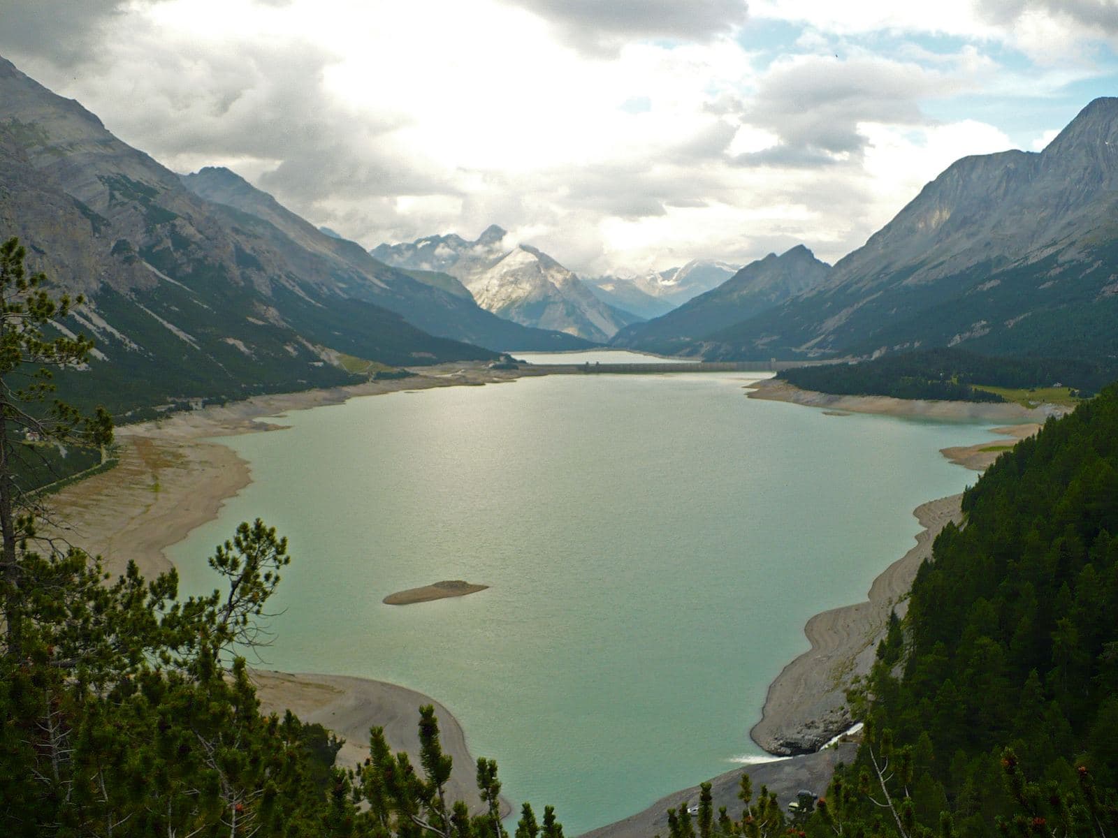
Photo: MatthewGhera · CC BY 3.0

A stone's throw from Tirano
The route
- Highest point
- 2,293 m
- Lowest point
- 381 m
The track is derived from OpenStreetMap (© OpenStreetMap contributors, ODbL licence) and is indicative: ascents and altitudes are estimates. Before setting out always check the route, difficulty, conditions and any seasonal or temporary closures.
Three routes among the power stations, canals and dams of the Upper Valtellina: the Green from Grosotto to the Torri di Fraele, the Red to Cancano, the Orange for the fittest. Riding where water becomes light.
A project that tells the story of water
The Ciclovia dell'Energia was created to tell, from the saddle, the story of the A2A hydroelectric plants of the Upper Valtellina: three themed routes, marked in different colours, linking plants, pipelines and dams along the Adda and in the side valleys. Riding here means crossing woods and pastures and, at every bend, meeting the traces of the work that for almost a century has turned the water of these mountains into energy.
Green, Red and Orange
The Green, of about 40 kilometres and of medium difficulty according to the official report, runs from the Grosotto power plant to the Torri di Fraele via Eita. The Red, of about 65 kilometres, is the longest and goes from Calcarola to Cancano. The Orange is the most demanding, with the profile of a high-mountain hike: it is not for everyone. Each route has its own character: choose according to your fitness and use the GPX tracks so as not to get lost.
From Tirano: distance, driving time and day trip
Ciclovia dell'Energia (Energy Cycleway) from Tirano: about 10 minutes by car (13 km) to the starting point (Grosotto); then you continue by bike along the route. To these times add the ride described on this page: plan your day accordingly. From Tirano, the Alpine Hub of the Valtellina, you can easily organise day trips: in the evening you return to restaurants, shops and a good dinner.
How to get there
The recommended starting point is Grosotto, reachable by car from Tirano (times above); those travelling without a car can consider the train to the nearest town and then the bike. Download the GPX track from this page and save the maps offline before setting out: the mobile network may be missing.
How to ride it
Choose the colour according to your legs: the Green for a demanding day within reach of the fit, the Red for a long ride. Carry water and food, because refreshment points along the routes are few, and check the season: at altitude snow can linger late.
Before you go
Check the weather, the route conditions and any seasonal or temporary closures of roads and paths. Carry a helmet, water, food, a repair kit and a charged phone: the single emergency number is 112. Respect walkers, animals and protected areas, and always give way to those on foot.
Gallery
Photo: © Claudio Corcoglioniti