Photo: Orobicon · CC BY-SA 3.0

Easy to reach from Tirano · by car to the nearest point, then on foot
Distance and time from Tirano are calculated to the nearest point reachable by car to the place of interest: the rest of the route is on foot. Always check the route and distances carefully before setting out, also for possible seasonal or temporary closures of roads and passes.
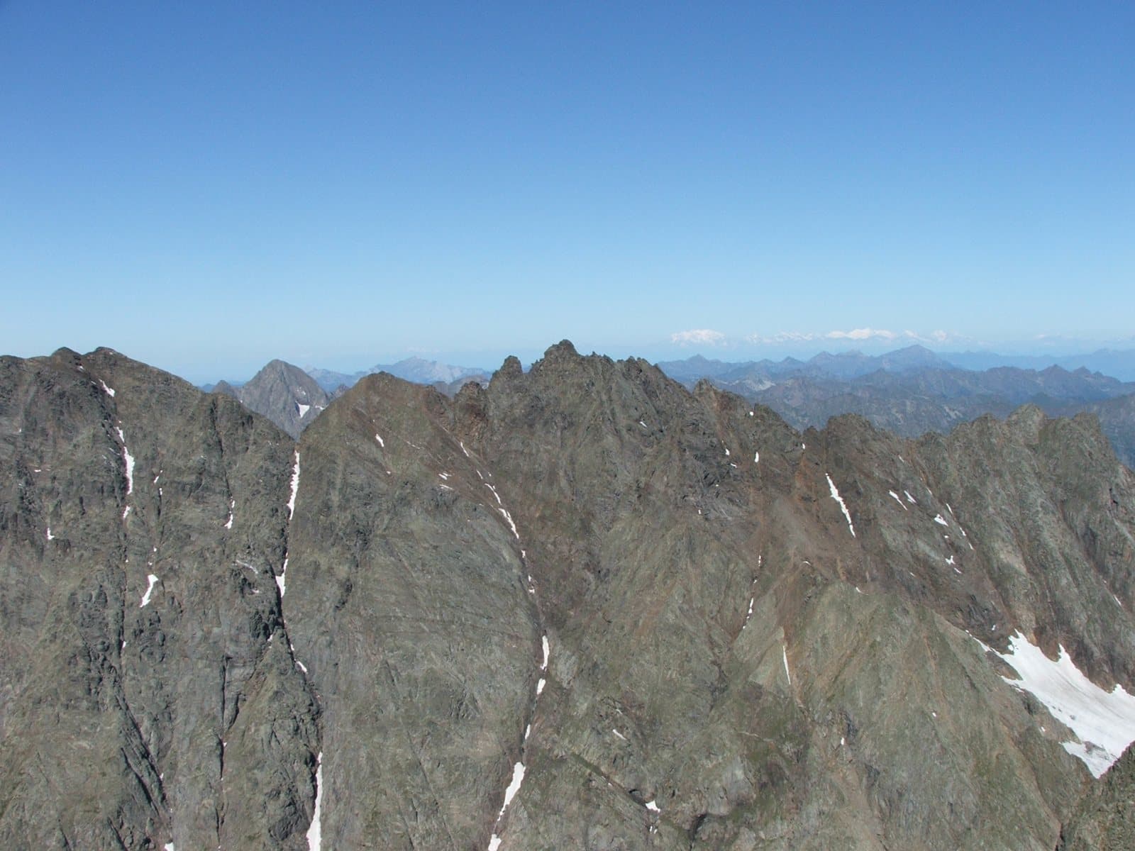
A sharp spire of 3,038 metres above the Lago di Scais: the joint second summit of the Orobie with the Redorta, the Torrione Curò and a small cross that remembers a great mountaineer from Bergamo.
A spire above the Valtellina
The Punta Scais (or Pizzo Scais), 3,038 metres, is a sharp spire that rises from the watershed line of the Orobie, with a fine shoulder to the north and greater development to the south, where there are a bold tower, the Torrione Curò, and a lower summit (2,997 m) called the Fetta di Polenta, north of the Scais saddle. With the Redorta it is the second summit of the Orobie behind the Pizzo Coca. On the Valtellina side it dominates the Lago di Scais and the Venina valley.
The first ascent
The first ascent dates from 1881: it was made by the pioneers of Bergamo mountaineering Luigi Albani and Giuseppe Nievo, with the guides Ilario Zamboni, Isaia Bonetti and the most experienced Bergamo guide of the time, Antonio Baroni, to whom a hut would later be dedicated.
A small cross
On the summit there are two small crosses, and the more recent is dedicated to Mario Merelli, the well-known Bergamo mountaineer who on 18 January 2012 lost his life in a fall on the Valtellina side while trying to reach the summit. Those who get up there find, together with the panorama, a memory.
From Tirano: distance, driving time and day trip
Punta Scais from Tirano: about 45 minutes by car (30 km) to the Mambretti hut, above Piateda; then you continue on foot. You follow the SS38 towards Sondrio and at Piateda go up the Val Venina. Climbs at altitude take a full day and often a night in a hut, but Tirano, the Alpine Hub of the Valtellina, remains the ideal base for preparing and for returning: hotels, restaurants, shops and the Red Train station a step away.
How to get there
From Tirano follow the SS38 towards Sondrio to Piateda and go up the Val Venina to the Vedello Power Station and the Mambretti hut (2,003 m); from here you continue on foot towards the Scais Glacier or the Corti Ridge. From the Bergamo side you go up from the Coca hut or the Baroni al Brunone hut.
What to do
On the Valtellina side the Scais is reached from the Scais Glacier or the Corti Ridge, starting from the Mambretti hut (2,003 m). From the Bergamo side you arrive from the Coca hut, going up from the Lago di Coca the steep and long, but easy, Central Couloir, or from the Baroni hut, by the south ridge (difficulty III with one IV pitch, the «Placca Baroni»). For those who do not climb, the walk to the Lago di Scais is an excellent trip.
Before you go
The climb is a mountaineering route and requires experience: friable rock, glacier, third and fourth grade passages on the route from the Baroni hut. The historical information should be checked on up-to-date sources. Hut opening times and mountain conditions: check before setting out.
Gallery
Photo: Autore non indicato · CC BY-SA 4.0