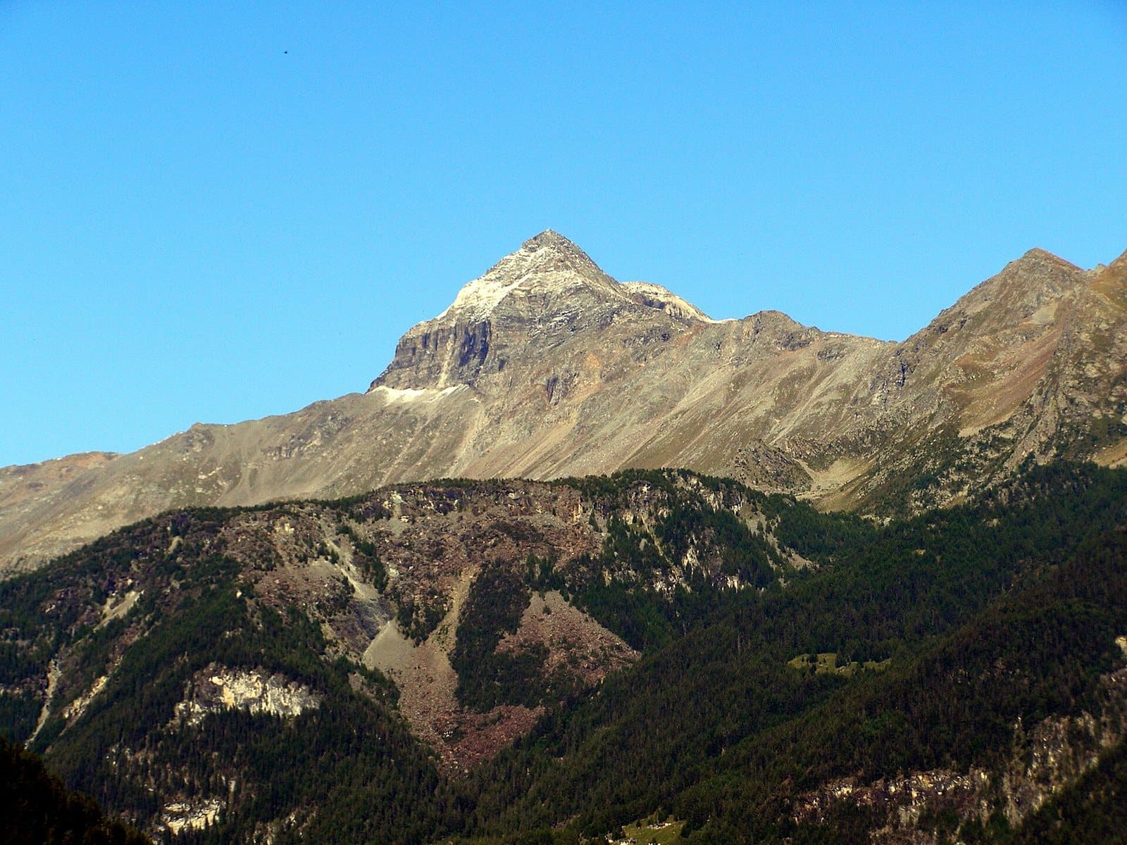
Photo: Luca Celoria · Public domain

A lovely day trip from Tirano · by car to the nearest point, then on foot
Distance and time from Tirano are calculated to the nearest point reachable by car to the place of interest: the rest of the route is on foot. Always check the route and distances carefully before setting out, also for possible seasonal or temporary closures of roads and passes.
A perfect pyramid of 3,323 metres above the Campagneda plateau: the symbol of the upper Valmalenco, climbed for years by hikers and ski mountaineers, with a view of the Bernina that you do not forget.
- Type
- Mountain
- Municipality
- Lanzada
- From Tirano
- Opening
- June 15 - September 30An outdoor place, always reachable. At altitude snow can make roads and paths impassable: they generally clear from June-July to September. An estimate based on the altitude.Indicative dates, not official: check before you go.
- Activities
- MountaineeringSki mountaineeringTrekking
The pyramid of the Valmalenco
If there is a mountain that everyone in the Valmalenco recognises, it is the Pizzo Scalino. 3,323 metres, a pyramid with regular ridges that dominates the upper valley and that is considered here one of the symbols of the landscape. It is the highest summit of the Scalino-Canciano subgroup, which breaks away from the Bernina massif towards the Valtellina, and it looks down on the Valposchiavo, in Switzerland.
The western side is the most interesting for climbers, but also the gentlest to look at: at its foot lies the Piano di Campagneda, a vast grassy plateau between 2,000 and 2,300 metres, with typical huts and small alpine lakes, up to the pass of the same name. On the opposite side, to the north-east, the Scalino glacier descends, its meltwater flowing towards the Val Poschiavina.
A story nearly two centuries long
The first «official» ascent was by the Englishmen Tuckett and Brown, with the guides Almer and Andermatten, on 22 June 1866: on the summit they found a topographic marker left there, around 1830, by Lombard surveyors working for Austria. And it is easy to believe that the peak, not hard to reach, had been climbed much earlier by valley people and hunters. The first Italian ascent is from 1873: Rossi, Fojanini and Orsatti.
A living mountain
Today the Scalino is very popular in summer and winter: it is a classic ski-mountaineering objective and gives its name to a ski-mountaineering race and to the Valmalenco-Valposchiavo Skyrace, organised every year by the local sports club. From the top the panorama sweeps over the summits of the middle and upper Valtellina and, above all, over the Bernina massif, which from here is seen as from few other places.
From Tirano: distance, driving time and day trip
Pizzo Scalino from Tirano: about 1 hour 35 minutes by car (54 km) to the first starting points of the Valmalenco, such as Campo Moro or Campo Franscia; then you continue on foot. You follow the SS38 towards Sondrio and drive up the Valmalenco to Lanzada. For those who do not want to climb, the Cristina hut and the Campagneda lakes are about an hour's walk from the road. Climbs at altitude take a full day and often a night in a hut, but Tirano, the Alpine Hub of the Valtellina, remains the ideal base for preparing and for returning: hotels, restaurants, shops and the Red Train station a step away.
How to get there
From Tirano follow the SS38 to Sondrio, then drive up the Valmalenco to Lanzada and Campo Franscia. From there you go on foot or by bike to the Alpe Prabello and the Cristina hut (about an hour from Campo Moro, 290 metres of ascent, on the unpaved road; longer routes start from Campo Franscia). From the hut you continue on foot towards the summit.
What to do
From the Cristina hut, at the Alpe Prabello, the climb starts (about 3 hours for experienced hikers) and loops link the other huts of Campagneda. For those who just want to enjoy the mountain, the Piano di Campagneda is an unpretentious stroll, with lakes that mirror the pyramid. In winter the Pizzo Scalino is a classic ski-mountaineering objective; the easiest and least busy, but longer, route is from the Val Fontana, to the south, using the Cederna-Maffina hut.
Before you go
The climb has no particular technical difficulties but needs good fitness, boots and an eye on the weather: at altitude it is safer to go up early in the morning. On the glacier you need crampons and ice axe. In winter and spring always assess the avalanche risk. Hut opening times change: check the official websites.
Photo: Luca Celoria · Public domain, WSarina · CC BY-SA 4.0, Mænsard Vokser · CC BY-SA 4.0, Elisa Rasca · CC BY-SA 4.0