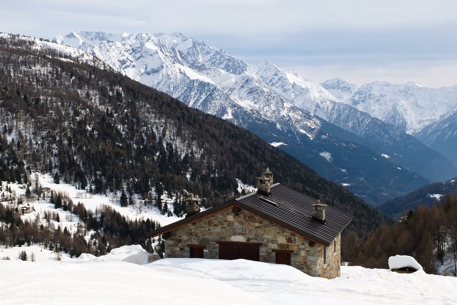
Photo: Francesco Zanardini · CC BY-SA 3.0

Easy to reach from Tirano · by car to the nearest point, then on foot
The highest and most panoramic lake of the Mortirolo plateau, at about 2,700 metres, with the Adamello before it, above the hollow of the Seroti Lakes.
- Type
- Lake
- Municipality
- Monno
- From Tirano
- Visit time
- Opening
- June 15 - September 30An outdoor place, always reachable. At altitude snow can make roads and paths impassable: they generally clear from June-July to September. An estimate based on the altitude.Indicative dates, not official: check before you go.
- Activities
- Hiking
The "crooked" lake with a view of the Adamello
Above the hollow of the Seroti Lakes, the path climbs steeply along a gully, then softens and opens out: here is Lake Storto, a lake with a curious name and an unmistakable character, with the great mass of the Adamello before it. It is the highest and most panoramic stop on the Mortirolo plateau, a goal for experienced hikers.
A loop among the lakes
From Lake Storto, following the white and red waymarks that start from the north-east end of the lake, you can make a loop touching other small lakes scattered across the plateau. Those who want to climb further can reach, along the north-east ridge, Monte Serottini (2,967 m), from where the view sweeps over the Valtellina between Tirano and Bormio.
From Tirano: distance, driving time and day trip
Lake Storto from Tirano: about 55 minutes by car (28 km), to the nearest starting point; then you continue on foot. You take the SS38 towards Bormio as far as Mazzo di Valtellina, where the climb to the Mortirolo Pass, the cyclists' climb, begins. To these times add the walk described on this page: plan your day accordingly. Tirano is the ideal base to visit the Valtellina: hotels and B&Bs, restaurants, shops, supermarkets, the Bernina Red Train station and buses to get around.
How to get there
From the Mortirolo Pass a nearly flat paved road leads in about 6 kilometres to the Passo di Val Bighera (2,050 m); from here a dirt track descends to the Cascina Val Bighera. A little below, a sign points to the Seroti Lakes (path no. 73): you pass the Lower Seroti Lake, cross an eroding gully and climb steeply to Lake Storto.
Before you go
The route is for experienced hikers (EE). Snow can last until late summer and the weather changes quickly: bring suitable clothing, water and an up-to-date map (Kompass no. 94).
Gallery
Photo: Idéfix · CC BY-SA 3.0, Francesco Zanardini · CC BY-SA 3.0