Photo: Ago76 · CC BY-SA 3.0

Easy to reach from Tirano · by car to the nearest point, then on foot
Distance and time from Tirano are calculated to the nearest point reachable by car to the place of interest: the rest of the route is on foot. Always check the route and distances carefully before setting out, also for possible seasonal or temporary closures of roads and passes.
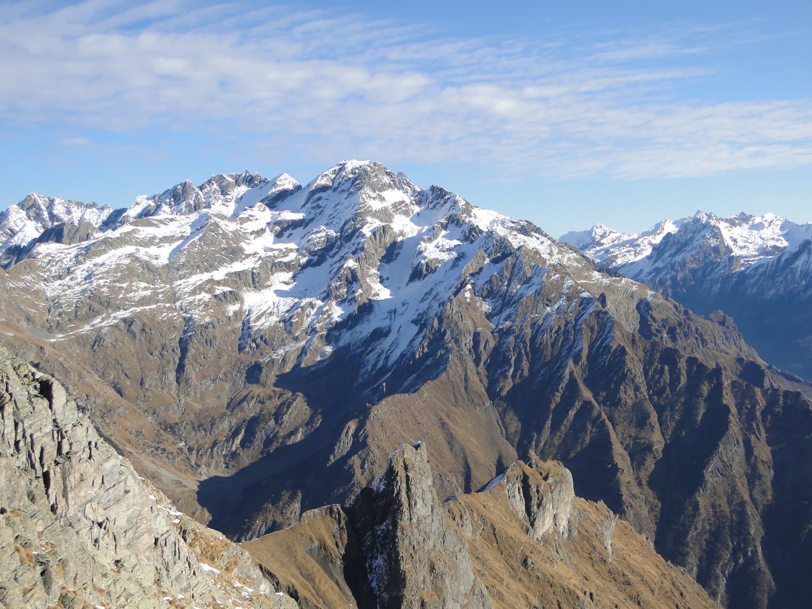
3,038 metres above the Scais Glacier: for decades believed to be the highest summit of the Orobie, climbed in 1830 by Austrian surveyors, and chosen by Antonio Curò in 1877 to measure the truth.
- Type
- Mountain
- Municipality
- Valbondione
- From Tirano
- Opening
- June 15 - September 30An outdoor place, always reachable. At altitude snow can make roads and paths impassable: they generally clear from June-July to September. An estimate based on the altitude.Indicative dates, not official: check before you go.
- Activities
- Mountaineering
The second king
The Pizzo Redorta, 3,038 metres, is with the Punta Scais, of the same height, the second summit of the Orobie Alps and of the province of Bergamo, after the Pizzo Coca. It is part of a great massif straddling the Val Seriana and the Valtellina, which includes some of the highest summits of the Orobie, and closes to the east the Conca dei Giganti, the debris basin ringed by the three highest peaks. On the Seriana side there are small snowfields, the Vedretta di Redorta and the Vedretta dei Secreti; on the Valtellina side lies the Vedretta di Scais, much larger but melting fast. The name probably comes from the Latin «rotundus» and would recall the bend that the Val Seriana makes at its foot.
The first ascent and the right measurement
The first ascent was in 1830, by Austrian cartographers who climbed for topographic surveys. For decades, because of wrong measurements on the maps, the Redorta was believed to be the highest mountain of the Orobie. The president of the CAI of Bergamo, Antonio Curò, was not convinced: on 28 September 1877 he decided to climb it to establish with certainty which was the highest summit. On 30 September, after spending the night in a hut that would later become the Baroni al Brunone hut, he reached the summit and, having taken his measurements, found that the neighbouring Pizzo Coca was higher by 18–20 metres.
From the Valtellina
From the Valtellina side you climb from the Vedello Power Station, at Piateda, towards the Lago di Scais and the Mambretti hut. From the Seriana side, the normal route starts from Fiumenero, passes the Baroni al Brunone hut and along the Sentiero del Simàl, one of the loveliest alpine paths, and crosses the Scais glacier: poor rock and scree call for the greatest care, above all on the descent.
From Tirano: distance, driving time and day trip
Pizzo Redorta from Tirano: about 45 minutes by car (30 km) to the Mambretti hut, above Piateda; then you continue on foot. You follow the SS38 towards Sondrio and at Piateda go up the Val Venina to the Vedello Power Station. Climbs at altitude take a full day and often a night in a hut, but Tirano, the Alpine Hub of the Valtellina, remains the ideal base for preparing and for returning: hotels, restaurants, shops and the Red Train station a step away.
How to get there
From Tirano follow the SS38 towards Sondrio to Piateda and go up the Val Venina to the Vedello Power Station and the Mambretti hut (2,003 m); from here you continue on foot towards the Lago di Scais and the glacier. On the Bergamo side you start from Fiumenero, in the Val Seriana.
What to do
From the Valtellina the Redorta and the Scais are admired above the Lago di Scais, in an amphitheatre of rocks and snowfields; the Mambretti hut, at about 2,000 metres, is the gateway. In summer the walk to the lakes is within reach of many; the summit, on the other hand, is a mountaineering objective.
Before you go
The climb is a mountaineering route and requires experience: friable rock, a glacier melting fast, cairns to follow. The accounts of the first ascents are handed down in several versions: the details should be checked. Hut opening times change: check the official websites.
Photo: Ago76 · CC BY-SA 3.0, Marcobarci · CC BY-SA 4.0