Photo: GeXeS · CC BY-SA 4.0

A lovely day trip from Tirano · by car to the nearest point, then on foot
Distance and time from Tirano are calculated to the nearest point reachable by car to the place of interest: the rest of the route is on foot. Always check the route and distances carefully before setting out, also for possible seasonal or temporary closures of roads and passes.
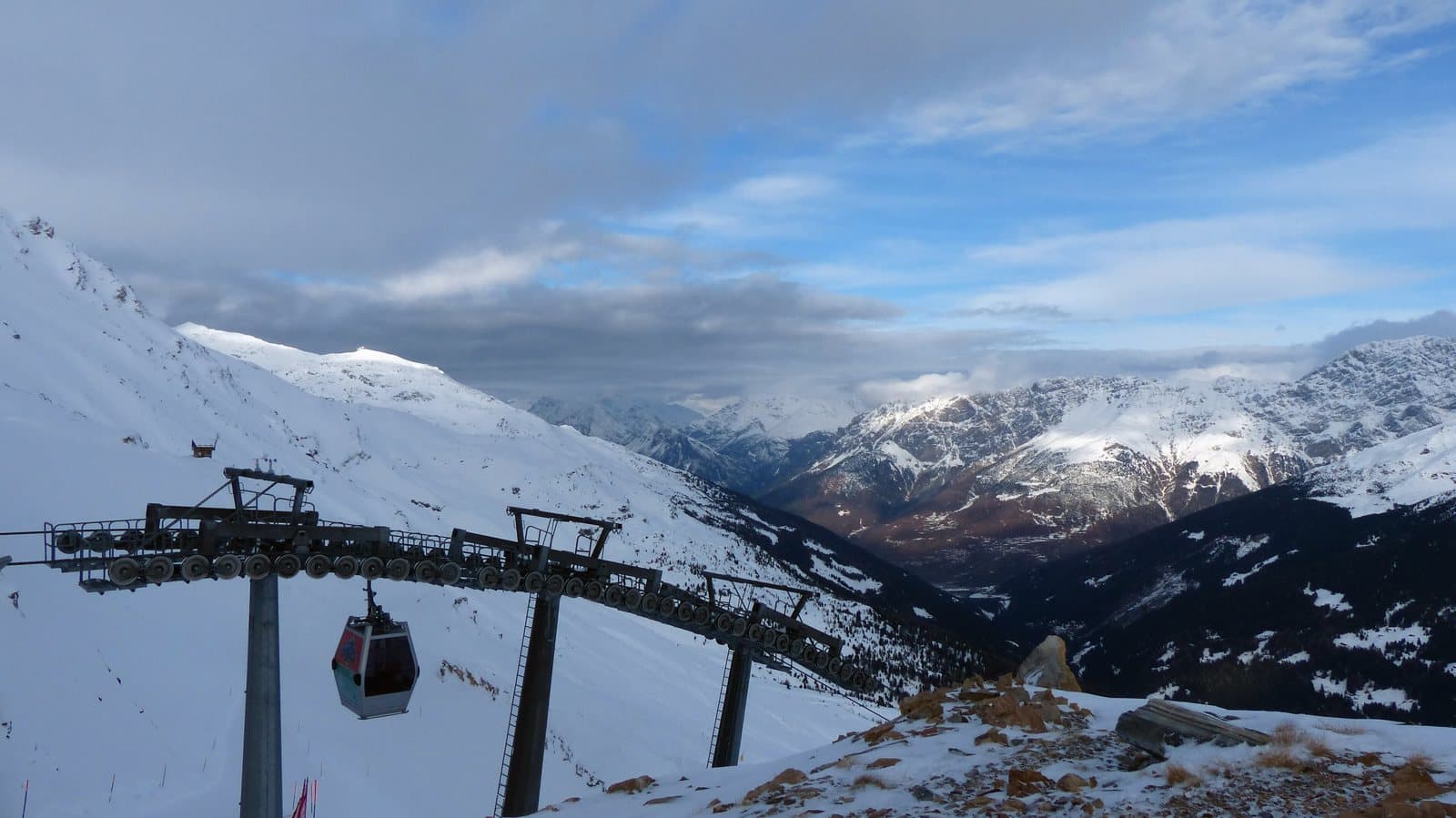
The highest point of the Santa Caterina ski area: a 3,296-metre peak, gentle and bright, among the best-loved ski-mountaineering climbs in the Valfurva and a trip suited even to beginners.
The gentle peak of Santa Caterina
The Monte Sobretta, 3,296 metres, is a mountain of the Ortles Alps, in the southern Rhaetian Alps, and the highest point of the Santa Caterina Valfurva ski area. It has two summits: the north summit, the one with the cross, at 3,296 metres; the south summit is about 3,250–3,270 metres, depending on the source. The ridge above the slopes, with the lifts of the ski area at its foot, is a sight you see from all over the Valfurva.
A climb for everyone, in winter
It is one of the best-loved ski-mountaineering climbs of the area: it starts from the Ponte dell'Alpe car park (2,294 m), on the road that climbs from Santa Caterina to the Gavia Pass, goes up diagonally to the west to the start of the Valle dell'Alpe lift, and then onto the ridge, with easy slopes between the two summits. Guides describe it as without technical difficulties and suitable even for those new to ski mountaineering; the north summit is reached by steep slopes from about 3,000 metres. To descend you can return by the same route and rejoin the Santa Caterina slopes, or descend into the Val di Rezzalo to Fumero (1,465 m).
From Tirano: distance, driving time and day trip
Monte Sobretta from Tirano: about 1 hour 30 minutes by car (57 km) to Santa Caterina Valfurva; then you continue to Ponte dell'Alpe, on the Gavia Pass road, and from there on foot. You follow the SS38 dello Stelvio to Bormio and go up the Valfurva. Climbs at altitude take a full day and often a night in a hut, but Tirano, the Alpine Hub of the Valtellina, remains the ideal base for preparing and for returning: hotels, restaurants, shops and the Red Train station a step away.
How to get there
From Bormio go up the Valfurva to Santa Caterina; from there the Gavia provincial road leads to Ponte dell'Alpe (2,294 m), the starting point of the climb. The Gavia road is open only in summer.
What to do
In summer the Sobretta is a hike for experienced walkers, again from Ponte dell'Alpe. In winter it is the realm of ski mountaineers, and those who prefer to stay on the slopes have anyway, at Santa Caterina, one of the most charming ski areas of the Valtellina.
Before you go
In winter and spring always assess the avalanche risk. In summer the climb is for experienced hikers. The altitudes of the two summits vary from one source to another: check an up-to-date map. The Gavia road is closed in winter: check access conditions.
Gallery
Photo: Ghisolabella · CC BY-SA 3.0