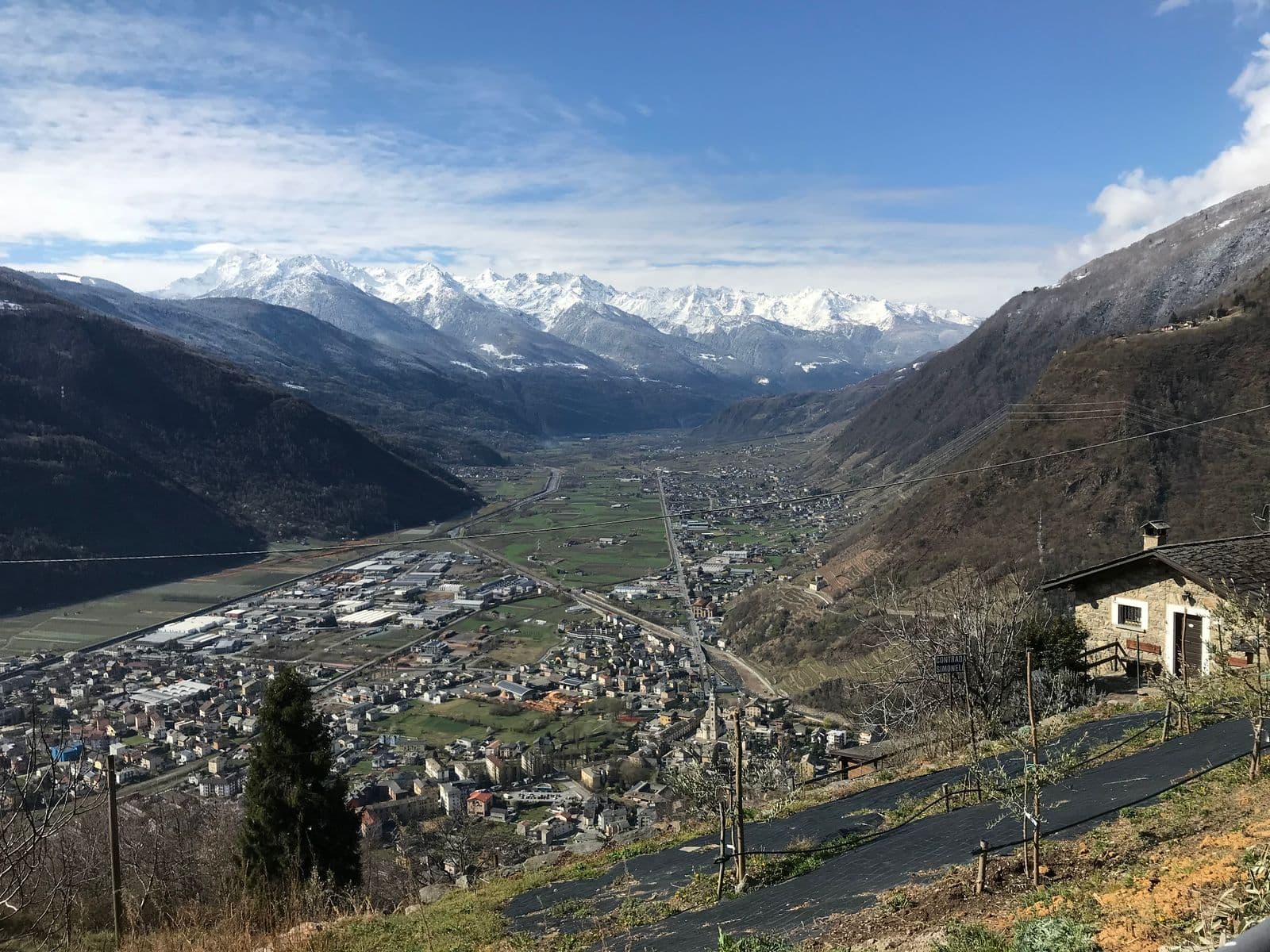
Photo: © Claudio Corcoglioniti
The route
- Length
- 12.3 km
- Duration
- 3 h 53 min
- Ascent
- 477 m
- Descent
- 479 m
- Highest point
- 808 m
- Lowest point
- 427 m
- Difficulty
- Moderate · Good fitness
- Surface
- Mixed: road, track and path
Route data and track are provided by Komoot and are indicative: ascents, elevations and times are estimates. Before setting out, always check the route, difficulty, conditions and any seasonal or temporary closures.
A soft 12-kilometre loop on the historic paths above Tirano, through the villages of Roncaiola and Baruffini and the giant bench: suitable for families, with a pinch of fitness.
- Type
- Trekking route
- Municipality
- Tirano
- Opening
- Always accessibleA low-altitude route (highest point 808 m): generally passable all year; snow or ice possible in winter.Indicative dates, not official: check before you go.
- Places of interest along the route
- RoncaiolaCà BiancheRadìsBaruffiniPalazzo SalisBasilica of the Madonna di Tirano
- Activities
- Trekking
A soft loop of about 12 kilometres that climbs from Tirano to the stone villages of Roncaiola and Baruffini and returns to the town, walking on historic paths. It is a route suitable for families, with a pinch of fitness: about 480 metres of ascent to take calmly, on an unhurried day. The paths above Tirano are those the inhabitants have always used to climb to the hamlets and that, on the nights of smuggling, were followed by smugglers towards Switzerland. At Baruffini you meet the giant bench, a place to stop and look at the valley, and a trattoria with a view over the valley for a stop at the table. It is 12 kilometres and about 480 metres of ascent, at elevations between about 430 and 810 metres. On Komoot it is rated moderate, with good fitness required, for a stated time of about four hours. The surface alternates paved stretches, tracks and paths in the greenery.
From Tirano: setting off on foot
The route starts from Via Valorsa, in Tirano, and you can set off straight on foot: no car needed. In the evening you return to restaurants, shops and a good dinner.
How to get there
The starting point is Via Valorsa, in Tirano, also reachable by train. The Komoot map can be followed straight from the page: save the route offline before setting out, as the mobile network may be missing.
How to walk it
Wear trekking shoes with a good sole and carry water, something to eat and a light jacket. It is a walk suitable for families with children used to walking, to be done with stops. If you want to stop for a meal, remember that the opening days and hours of the places change: check before setting out.
Places of interest along the route
Along the route, or no more than 500 metres from it, you meet these places. The kilometres are approximate and counted from the Via Valorsa start.
Around kilometre 4: Roncaiola. A stone hamlet hanging over the vineyards above Tirano: old smugglers' trails, new families and a table worth remembering.
Around kilometre 4: Cà Bianche. A small family estate in Tirano: three hectares worked by hand, five labels, a Rosso di Valtellina aged in amphora and the experiences in the vineyard with the people who really make the wine.
Around kilometre 6: Radìs. Two friends and brothers-in-law who bring back to life the abandoned terraces of Baruffini, up to 700 metres above Tirano: steep vines, all work by hand and an ancient buckwheat, the Curunin.
Around kilometre 6: Baruffini. Nine old districts in the Masuccio sun: smugglers' trails, a giant bench and a trattoria with a view over the valley.
Around kilometre 10, about 150 metres from the route: Palazzo Salis. A 17th-century noble residence in the heart of Tirano: Baroque portal, ten frescoed rooms, a chapel and one of the very few Italian gardens in the Alps, waiting to be discovered.
Around kilometre 12: Basilica of the Madonna di Tirano. The Renaissance sanctuary born from an apparition in 1504: stucco, wood carving and an extraordinarily rich 17th-century organ, to be admired at leisure.
Before you go
Check the weather and the condition of the paths. Carry trekking shoes, water, food, a windproof jacket and a charged phone: the single emergency number is 112. Stay on the marked paths, close gates behind you and respect property and animals.
Gallery
Photo: © Claudio Corcoglioniti, Fulvio.Schiano · CC0