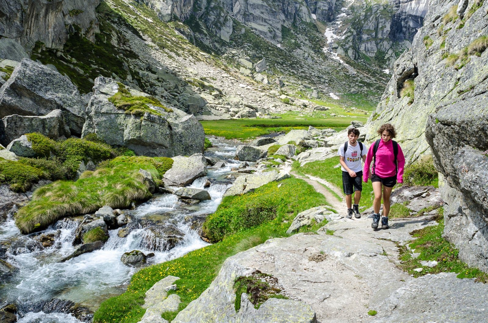
Photo: Luca Casartelli · CC BY-SA 3.0

A lovely day trip from Tirano · by car to the nearest point, then on foot
Distance and time from Tirano are calculated to the nearest point reachable by car to the place of interest: the rest of the route is on foot. Always check the route and distances carefully before setting out, also for possible seasonal or temporary closures of roads and passes.
The second summit of the Masino group after the Disgrazia: a great snowy dome of over 3,380 metres, less famous than the Badile but no less beautiful, at the head of the secluded Val di Zocca.
The summit that makes no noise
In the Val Masino group there are mountains that occupy the covers and others that stay silent. The Cima di Castello, about 3,380 metres (sources give between 3,379 and 3,388 m), belongs to the latter: it is the highest summit of the group, apart from Monte Disgrazia, but it is less well known than the Badile and the Cengalo, which are lower. It lies on the border between Lombardy and the Canton of Graubünden, and it is a great, regular snowy dome gathered above an amphitheatre of glaciers.
Two sides, two worlds
You can climb it from two sides, and they are two different ways of arriving. On the Swiss side you start from Vicosoprano and pass the Albigna hut (2,340 m). On the Italian side, the one that concerns us, you drive up the Val Masino to the Val di Zocca and the Allievi-Bonacossa hut (2,385 m): from there you head north, set foot on the glacier and go up it to the north-east, parallel to the ridge, to the last slope that leads to the summit dome. The climb, difficulty F+, requires ice axe and crampons even in summer, good fitness and reasonable experience in an alpine environment. Guides speak of about 1,000 metres of ascent from the hut, in about 3 hours.
From Tirano: distance, driving time and day trip
Cima di Castello from Tirano: about 1 hour 20 minutes by car (62 km) to San Martino, in the Val Masino; then you continue on foot to the Allievi-Bonacossa hut. You follow the SS38 towards Sondrio and, past Morbegno, drive up the Val Masino. It is a long journey, but it gives you an almost secret corner of the Valtellina. Climbs at altitude take a full day and often a night in a hut, but Tirano, the Alpine Hub of the Valtellina, remains the ideal base for preparing and for returning: hotels, restaurants, shops and the Red Train station a step away.
How to get there
From Tirano follow the SS38 to Ardenno, then drive up the Val Masino to San Martino. From there follow the path that crosses the Val di Mello and climbs the Val di Zocca to the Allievi-Bonacossa hut (2,385 m): about 1,350–1,450 metres of ascent and 3–4 hours on foot, according to the guides. From the hut starts the climb to the summit.
What to do
Even without climbing it, the Val di Zocca is worth the trip: a secluded valley, far from the crowds, that opens from the bottom of the Val Masino into a world of pastures, larches and granite, with the hut as the last harbour. From the Allievi-Bonacossa hut start climbs to many other summits of the group, including the Torrone and the Rasica.
Before you go
Summit on the border with Switzerland: valid ID. The climb requires ice axe and crampons, good fitness and reasonable experience in an alpine environment. Hut opening times change: check the official website before setting out. Altitude and ascent figures vary from one source to another: always check an up-to-date map.
Gallery
Photo: Giorgio.lubatti · CC BY-SA 4.0