Photo: qwesy qwesy · CC BY 3.0

Easy to reach from Tirano · by car to the nearest point, then on foot
At about 2,300 metres, at the foot of the Sasso Calosso, a lake of turquoise water that the people of the Val d'Eita call "Turchino", with a small waterfall on its shore.
- Type
- Lake
- Municipality
- Grosio
- From Tirano
- Visit time
- Opening
- June 15 - September 30An outdoor place, always reachable. At altitude snow can make roads and paths impassable: they generally clear from June-July to September. An estimate based on the altitude.Indicative dates, not official: check before you go.
- Activities
- HikingTrekking
The "turquoise" lake at the foot of the Sasso Calosso
In the Val d'Eita they call it Turchino (in dialect *Lac Turchin*); on the maps it is Lake Calosso: and the name says it all, because the water has a turquoise colour. It lies at about 2,300 metres, at the foot of the Sasso Calosso, surrounded to the west by peaks and, on the opposite side, by a small waterfall fed by snow that flows into the lake.
From Tirano: distance, driving time and day trip
Lake Turchino (Lac Turchin) from Tirano: about 50 minutes by car (32 km), to the nearest starting point; then you continue on foot. You follow the SS38 and the SP27 to Grosio, then the Val Grosina road to Fusino, where you buy the ticket to continue. To these times add the walk described on this page: plan your day accordingly. Stay in Tirano and set out each morning for a new destination: in the Valtellina it is the practical solution for those seeking hotels, services and connections a step from the station.
How to get there
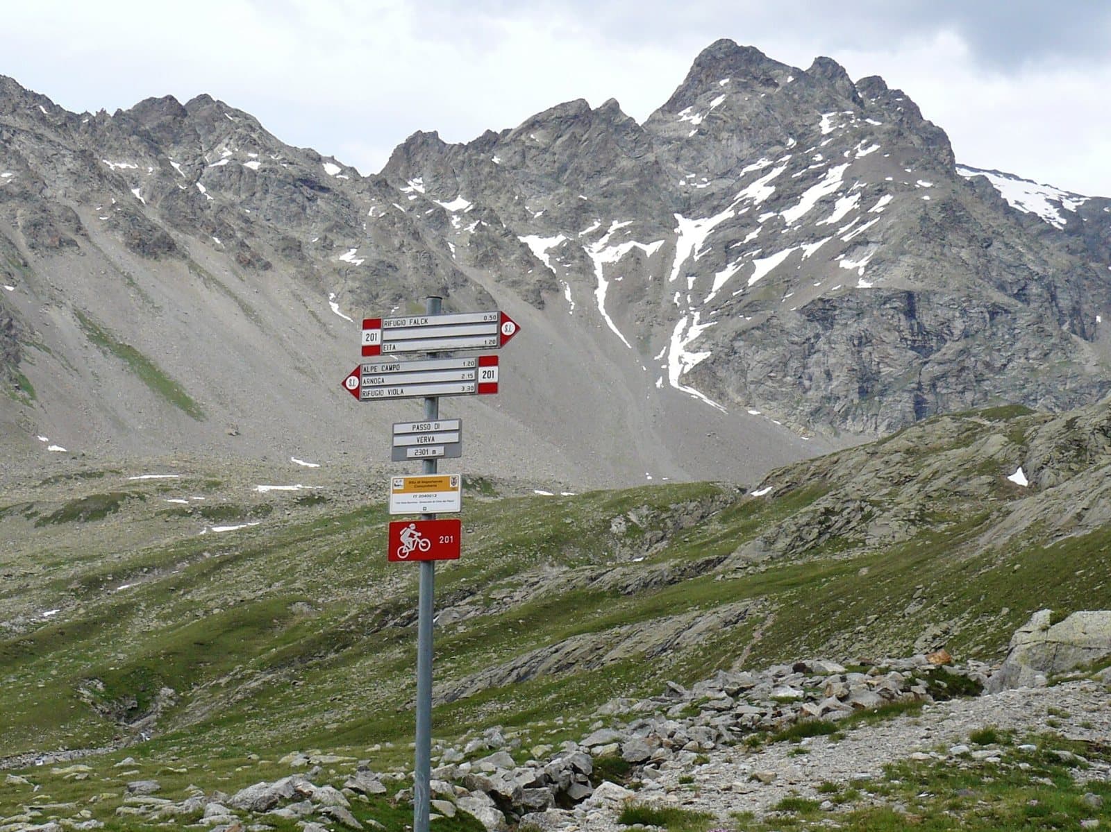
From Grosio you drive up to Fusino (1,190 m), where you buy the ticket, and then along the narrow paved road to the alpine pasture of Eita, at 1,700 metres, marked by a large bell tower. Near the Eita hut take the steep path that climbs towards the Passo Verva; at 2,020 metres you pass a small lake, just before the Falck hut. Then the slope eases and, at a signpost at 2,165 metres, a path on the left climbs to the lake. It is a hiking route (E) of about 12 kilometres, with 780 metres of ascent and no fountains along the way.
For those who want to continue
Back on the main path you continue to the Passo Verva (2,301 m), from where you can go down towards Arnoga or climb the Cima Piazzi.
Before you go
Bring plenty of water, because there are no fountains, and check snow conditions in early summer.
Photo: qwesy qwesy · CC BY 3.0, qwesy qwesy · CC BY 3.0, qwesy qwesy · CC BY 3.0