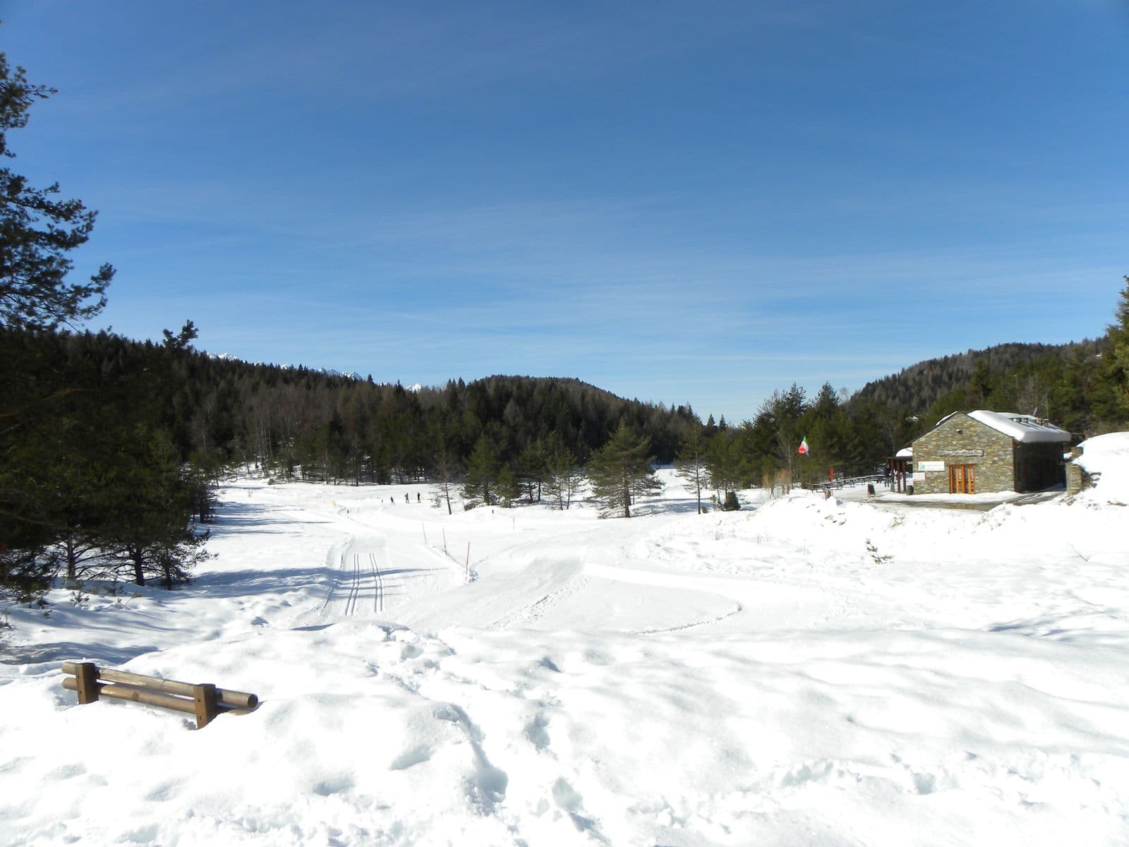
Photo: Riccardo Pesce · CC BY-SA 3.0

The route
- Length
- 42.9 km
- Duration
- 2 h 50 min
- Ascent
- 1,325 m
- Descent
- 1,326 m
- Highest point
- 1,608 m
- Lowest point
- 393 m
- Difficulty
- Demanding · Very good fitness
- Surface
- Paved road
Route data and track are provided by Komoot and are indicative: ascents, elevations and times are estimates. Before setting out, always check the route, difficulty, conditions and any seasonal or temporary closures.
From Tirano to Trivigno, the alp of Tirano at about 1,800 metres, via Aprica and the Pian di Gembro Nature Reserve: 43 kilometres, with the option of carrying on towards the Mortirolo.
A route that leads from Tirano to Trivigno, the alp of Tirano, at about 1,800 metres above sea level, via Aprica. The ride starts from Via Valorsa, in Tirano, straight from the saddle, and after five flat kilometres reaches Stazzona, where the climb towards Aprica begins. The climb to Aprica is steady but gentle: you have to watch the traffic, but the road is very wide. In Aprica you can stop for a quick pit-stop, then carry on towards Trivigno through the Pian di Gembro Nature Reserve. The climb to Trivigno has steeper stretches, but still feasible. Once at Trivigno you can enjoy the spectacle of the alp and rest for a moment. Then you return to Tirano or, for the boldest, carry on towards the Mortirolo Pass, descending afterwards to Mazzo di Valtellina: for this variant there is the Tirano-Aprica-Mortirolo loop. It is 43 kilometres and about 1,320 metres of ascent, at elevations between about 390 and 1,610 metres on the Komoot track. On Komoot it is rated hard, with very good fitness required, for a stated time of about two hours and fifty minutes. The surface is almost all asphalt.
From Tirano: distance, driving time and day trip
The route starts from Via Valorsa, in Tirano, and you can set off straight from the saddle: no car needed. In the evening you return to restaurants, shops and a good dinner.
How to get there
The starting point is Via Valorsa, in Tirano, also reachable by train. The Komoot map can be followed straight from the page: save the route offline before setting out, as the mobile network may be missing.
How to ride it
Carry water, food and a jacket for the descent, and set out in stable weather. Traffic is most noticeable up to Aprica. Check conditions and orders before setting out.
Places of interest along the route
Along the route, or no more than 500 metres from it, you meet these places. The kilometres are approximate and counted from the Via Valorsa start.
At the start: Basilica of the Madonna di Tirano. The Renaissance sanctuary born from an apparition in 1504: stucco, wood carving and an extraordinarily rich 17th-century organ, to be admired at leisure.
Around kilometre 16: Aprica Pass. The gentlest pass between Valtellina and Val Camonica: an ancient crossing turned holiday resort, gateway to the Pian di Gembro peat bog and the Trivigno pastures, on the Giro's roads and on skis.
Around kilometre 22, about 370 metres from the route: Pian di Gembro Nature Reserve. A peat bog born of glaciers, at 1,350 metres above Aprica: wooden walkways, carnivorous plants, amphibians to discover and the gateway to the pastures of Trivigno.
Around kilometre 41, about 280 metres from the route: Palazzo Salis. A 17th-century noble residence in the heart of Tirano: Baroque portal, ten frescoed rooms, a chapel and one of the very few Italian gardens in the Alps, waiting to be discovered.
Before you go
Check the weather, the road conditions and any seasonal or temporary closures of the passes. Carry a helmet, water, food, a spare inner tube, a windproof jacket and a charged phone: the single emergency number is 112. Respect the Highway Code, use lights in tunnels and keep to the right.
Gallery
Photo: Adrian Michael · CC BY-SA 3.0