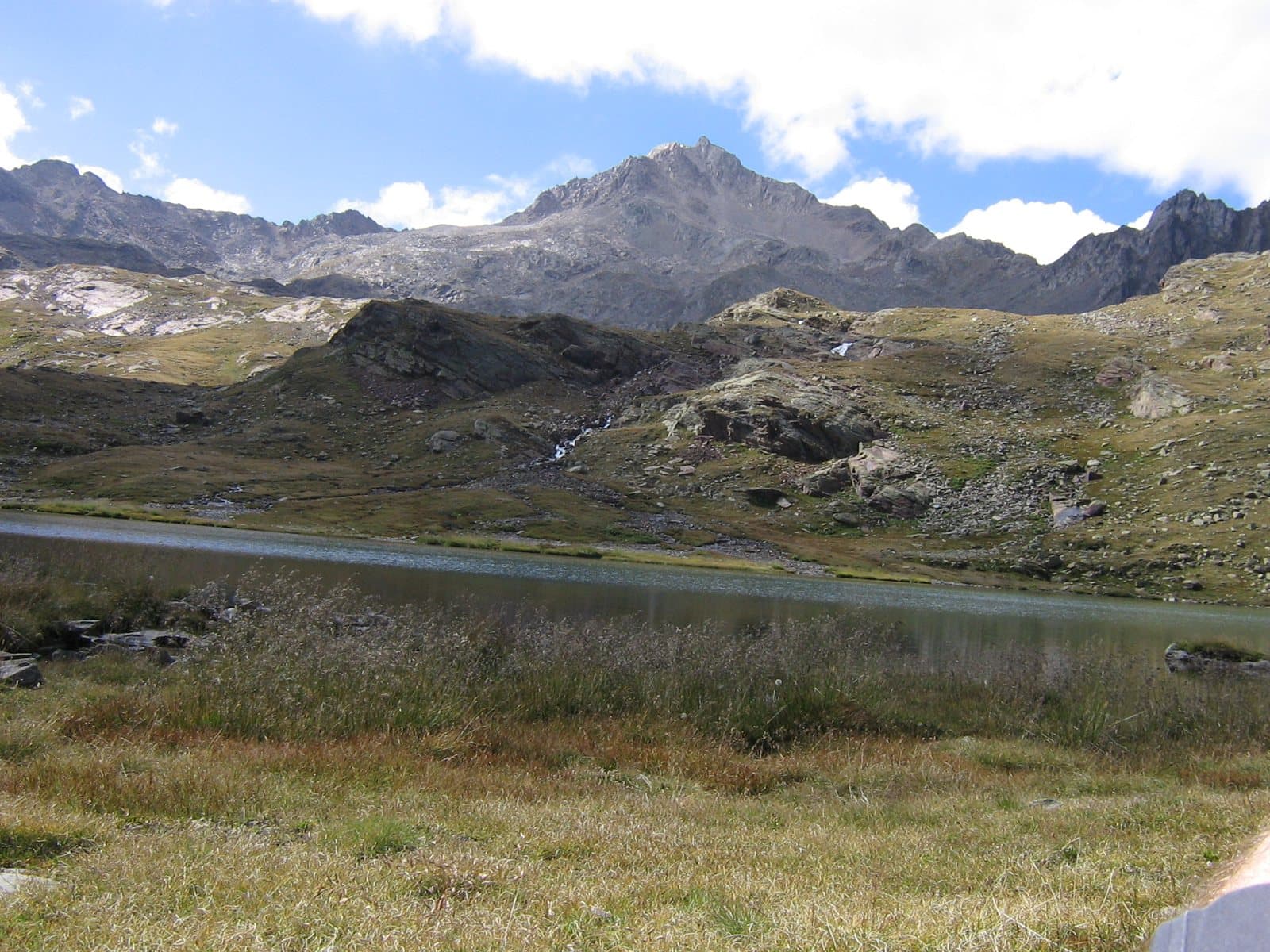
Photo: Grasso83 · CC BY-SA 3.0

A lovely day trip from Tirano · by car to the nearest point, then on foot
Distance and time from Tirano are calculated to the nearest point reachable by car to the place of interest: the rest of the route is on foot. Always check the route and distances carefully before setting out, also for possible seasonal or temporary closures of roads and passes.
Where three states met: Venice, Milan, Trent. 3,360 metres above the Gavia Pass, with the sources of the Oglio and the Noce and a view that in the Middle Ages was a border.
- Type
- Mountain
- Municipality
- Valfurva
- From Tirano
- Opening
- June 15 - September 30An outdoor place, always reachable. At altitude snow can make roads and paths impassable: they generally clear from June-July to September. An estimate based on the altitude.Indicative dates, not official: check before you go.
- Activities
- MountaineeringSki mountaineeringTrekking
A name that is a story
The Corno dei Tre Signori, or Picco dei Tre Signori, 3,360 metres, owes its name to its position. Its summit marked, already in the Middle Ages, the meeting point of the borders of three states: the Republic of Venice (to which the Val Camonica belonged), the Duchy of Milan (to which the Valtellina belonged from the mid-fourteenth century to 1512) or the Grisons (after 1512) and the Prince-Bishopric of Trent (that is, the Val di Sole). Even today on its summit the provinces of Brescia, Sondrio and Trento meet, their present borders following those of the ancient states.
Where two rivers are born
On the mountain, entirely within the Stelvio National Park, two important rivers rise: the Noce, a right-bank tributary of the Adige, and the Oglio, one of the great tributaries of the Po (the Oglio proper begins at Ponte di Legno, but one of its source branches, the Frigidolfo, rises right from the Corno). It is the westernmost summit of the long ridge that breaks away from the Cevedale and also includes the Vioz and the San Matteo; to the west the ridge drops to the 2,621 metres of the Gavia Pass.
A vanishing glacier
Today on its slopes two small glaciers remain: the Vedretta della Sforzellina, on the north side, and the North-Eastern Glacier, a relict glacier covered in debris which, if climate trends do not change, could soon disappear. Its rocks are very old metamorphic ones: phyllites, mica schists, gneiss, with outcrops of marble.
From Tirano: distance, driving time and day trip
Corno dei Tre Signori from Tirano: about 1 hour 10 minutes by car (64 km) to the Gavia Pass; then you continue on foot. You follow the SS38 dello Stelvio to Bormio and go up to Santa Caterina Valfurva; from there the Gavia road climbs to the pass (open only in summer). Climbs at altitude take a full day and often a night in a hut, but Tirano, the Alpine Hub of the Valtellina, remains the ideal base for preparing and for returning: hotels, restaurants, shops and the Red Train station a step away.
How to get there
From Santa Caterina Valfurva follow the SP29 to the Gavia Pass (2,621 m), or go up from Ponte di Legno. From the Berni hut, just below the pass, start the routes to the Punta San Matteo, the Pizzo Tresero and the Corno dei Tre Signori. The Gavia road is open only in summer.
What to do
From the Gavia Pass the Corno is seen in all its mass above the Lago Bianco and the Lago Nero, two of the loveliest lakes of the Gavia road. If you want to walk there are paths in the Stelvio Park, among small lakes, pastures and ridges; for the climbs towards the summit you start from the Berni hut.
Before you go
The climb requires experience on high-altitude terrain. The Gavia road is open only in summer and in good weather: check closures before setting out. The borders of the old states are now administrative divisions: on the summit three provinces meet.