Photo: Zairon · CC BY-SA 4.0

The route
- Length
- 131.5 km
- Duration
- 7 h 14 min
- Ascent
- 2,405 m
- Descent
- 2,404 m
- Highest point
- 2,613 m
- Lowest point
- 427 m
- Difficulty
- Demanding · Very good fitness
- Surface
- Paved road
Route data and track are provided by Komoot and are indicative: ascents, elevations and times are estimates. Before setting out, always check the route, difficulty, conditions and any seasonal or temporary closures.
From Tirano to another legendary climb, the Gavia Pass: 131 kilometres, over 2,400 metres of ascent, with a gentle start through the Alta Valle and Bormio.
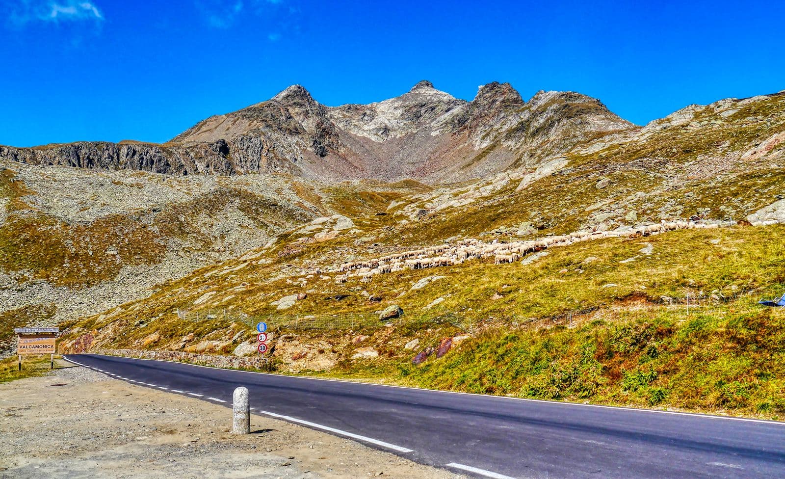
From Tirano you set off to tackle another legendary climb, the Gavia Pass. You start from Via Valorsa, straight from the saddle. The stretch from Tirano to Bormio gains the first 800 metres of ascent over 40 kilometres: a very gentle climb that lets you admire the beauties of the Alta Valle. Once in Bormio the second segment of climbing begins, leading to Santa Caterina Valfurva, a base where you can make a pit-stop and prepare for the real climb, the one that leads to the 2,600 metres and more of the Gavia Pass. Like all the great climbs, it takes legs and breath but, above all, head. Go to the pass at the pace that suits you, enjoying the fantastic panoramas and the glaciers that open on the horizon as you climb. At the pass it is worth taking a break at one of the huts at its foot before starting the return. For the boldest, the return is also possible by descending to Ponte di Legno and climbing back to Aprica from Edolo. It is 131 kilometres and about 2,400 metres of ascent, at elevations between about 430 and 2,610 metres on the Komoot track. On Komoot it is rated hard, with very good fitness required, for a stated time of about seven and a quarter hours. The surface is largely asphalt and about half of the route runs on a cycle path. It requires technical preparation and training.
From Tirano: distance, driving time and day trip
The route starts from Via Valorsa, in Tirano, and you can set off straight from the saddle: no car needed. In the evening you return to restaurants, shops and a good dinner.
How to get there
The starting point is Via Valorsa, in Tirano, also reachable by train. The Komoot map can be followed straight from the page: save the route offline before setting out, as the mobile network may be missing.
How to ride it
Start early and carry everything you need: water, food, a spare inner tube and a heavy jacket for the pass and the descent. It is a ride for the fit, to be chosen with stable weather and the whole day ahead. Check conditions and orders before setting out: the pass is closed in winter and its opening changes every year. To shorten the climb you can start from Bormio instead of Tirano: in that case you can park at the car park next to the ice rink.
Places of interest along the route
Along the route, or no more than 500 metres from it, you meet these places. The kilometres are approximate and counted from the Via Valorsa start.
At the start, about 180 metres from the route: Basilica of the Madonna di Tirano. The Renaissance sanctuary born from an apparition in 1504: stucco, wood carving and an extraordinarily rich 17th-century organ, to be admired at leisure.
Around kilometre 2: Palazzo Salis. A 17th-century noble residence in the heart of Tirano: Baroque portal, ten frescoed rooms, a chapel and one of the very few Italian gardens in the Alps, waiting to be discovered.
Around kilometre 5, about 180 metres from the route: Lago di Lovero. A quiet lake little more than an hour's walk from Tirano along the Sentiero Valtellina: born with the dam of 1948, in a valley where in 1807 a landslide from Monte Masuccio had already created a natural one.
Around kilometre 40, about 200 metres from the route: Amaro Braulio · Casa Braulio. In Bormio, the cellars where the amaro of alpine herbs sleeps: a fifty-minute visit among oak barrels and a recipe born in the nineteenth century.
Around kilometre 63: Arnaldo Berni Mountain Hut. At 2,541 metres on the Gavia road, a hut with a view of the Ortles-Cevedale glaciers, named after an Alpini captain of the Great War.
Around kilometre 65: Lake Bianco (Passo Gavia). The pearl on the roof of the Gavia: a natural lake above 2,600 metres, between turquoise and blue, at the foot of the Corno dei Tre Signori, in the heart of the Stelvio National Park.
Around kilometre 66: Gavia Pass. 2,621 metres between Santa Caterina Valfurva and Val Camonica: an old mule track, the Great War front, the snowstorm that made the 1988 Giro and a heart of glaciers and lakes in the Stelvio Park.
Around kilometre 66: Bonetta Mountain Hut. On the summit of the Gavia Pass, a family-run hut overlooking Lago Bianco, among cyclists, motorcyclists and the wind of the high mountains.
Before you go
Check the weather, the road conditions and any seasonal or temporary closures of the passes. Carry a helmet, water, food, a spare inner tube, a windproof jacket and a charged phone: the single emergency number is 112. Respect the Highway Code, use lights in tunnels and keep to the right.
Gallery
Photo: Zairon · CC BY-SA 4.0