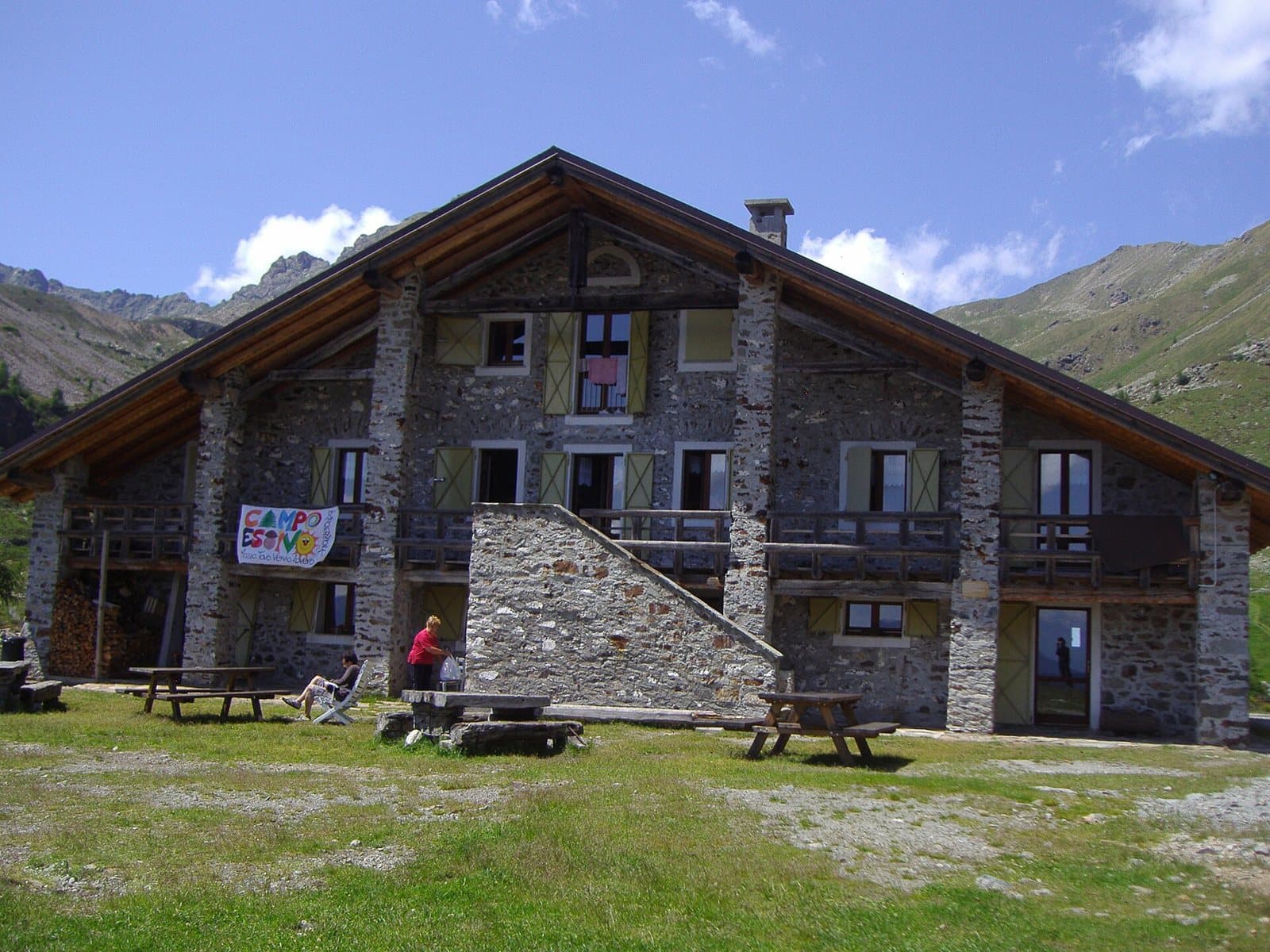
Photo: Teomonce91 at Italian Wikipedia · Public domain

A stone's throw from Tirano
The route
- Length
- 17.9 km
- Duration
- 7 h 13 min
- Ascent
- 1,357 m
- Descent
- 1,359 m
- Highest point
- 2,041 m
- Lowest point
- 757 m
- Difficulty
- Demanding · Very good fitness
- Surface
- Mixed: road, track and path
Route data and track are provided by Komoot and are indicative: ascents, elevations and times are estimates. Before setting out, always check the route, difficulty, conditions and any seasonal or temporary closures.
A technical, panoramic route for those with good athletic preparation: from Baruffini to the Rifugio Schiazzera on Monte Masuccio, as a day trip or with an overnight stay at the hut.
- Type
- Trekking route
- Municipality
- Tirano
- From Tirano
- Opening
- May 15 - November 15Season estimated from the route's highest point (2041 m): check snow, ice and conditions before setting out.Indicative dates, not official: check before you go.
- Places of interest along the route
- BaruffiniRadìsSchiazzera Mountain Hut
- Activities
- Trekking
A technical route that, starting from Baruffini, leads to the Rifugio Schiazzera on Monte Masuccio. It is an extremely panoramic route that requires good athletic preparation. It is suitable both as a day trip and for an overnight stay at the hut. It is about 18 kilometres and 1,360 metres of ascent, at elevations between about 760 and 2,040 metres. On Komoot it is rated hard, with very good fitness required, for a stated time of about seven and a quarter hours. The surface is largely dirt track, with some mountain path stretches.
From Tirano: setting off on foot
The route starts from Baruffini, about 11 minutes by car from Tirano, and returns to Baruffini. For the fittest you can start straight from Tirano, walking up to Baruffini: our estimate is about 3.7 kilometres and 340 metres more of climbing on the way out, for about an hour and forty minutes of walking.
How to get there
Baruffini is reached by car from Tirano. The Komoot map can be followed straight from the page: save the route offline before setting out, as the mobile network may be missing.
How to walk it
Wear boots with a good sole and carry plenty of water, food, a windproof jacket and a warm one: at altitude the weather changes quickly. It is a route for the fit, to be chosen with stable weather and the whole day ahead. The Rifugio Schiazzera is run by volunteers: to eat or sleep there, contact the hut before setting out.
Places of interest along the route
Along the route, or no more than 500 metres from it, you meet these places. The kilometres are approximate and counted from the Via Valorsa start.
At the start: Baruffini. Nine old districts in the Masuccio sun: smugglers' trails, a giant bench and a trattoria with a view over the valley.
At the start: Radìs. Two friends and brothers-in-law who bring back to life the abandoned terraces of Baruffini, up to 700 metres above Tirano: steep vines, all work by hand and an ancient buckwheat, the Curunin.
Around kilometre 7: Schiazzera Mountain Hut. At 2,079 metres, at the threshold of the Val Saiento, a former Guardia di Finanza border barracks turned into a volunteer-run hut, a few minutes from the car park.
Before you go
Check the weather and the condition of the paths. Carry trekking shoes, water, food, a windproof jacket and a charged phone: the single emergency number is 112. Stay on the marked paths, close gates behind you and respect property and animals.
Photo: Deriuale · CC BY 4.0, Fulvio.Schiano · CC0