Photo: FkMohr · CC BY-SA 3.0 de

Easy to reach from Tirano
Distance and time from Tirano are calculated to the nearest point reachable by car to the place of interest: the rest of the route is on foot. Always check the route and distances carefully before setting out, also for possible seasonal or temporary closures of roads and passes.
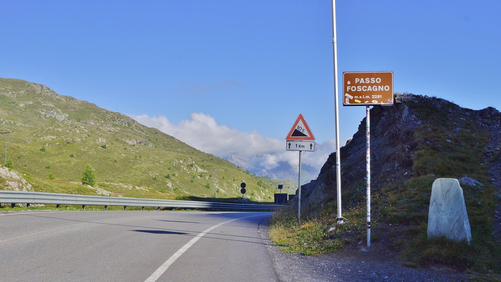
2,291 metres: the road that leads to Livigno without leaving Italy, between a customs post and a watershed where two streams born a few metres apart end up, one in the Black Sea and the other in the Mediterranean.
- Type
- Mountain passes and springs
- Municipality
- Livigno
- From Tirano
- Opening
- Always accessibleKept open in winter too; chains may be needed.Checked on October 29, 2026.
- Activities
- Road cyclingMountain biking
The gate of Livigno
The Foscagno Pass, 2,291 metres, is a pass of the western Rhaetian Alps that connects the Valdidentro with the Livigno valley. It is reached by the SS301 del Foscagno and is the only way to arrive in Livigno without leaving Italy: the alternative goes through Switzerland, by the Forcola di Livigno or the Munt la Schera tunnel. At the pass stands the customs post, because the territory of Livigno is an extra-customs zone.
A military road, an isolated valley
The first carriage road was built for military reasons by the Fortifications Office of Brescia between 1912 and 1914, but by its nature it was passable only in the summer months. Before then the link was a 25-kilometre mule track between Livigno and Semogo, in the Valdidentro. Until the winter of 1952-53, say the sources, Livigno remained completely isolated for the whole cold season; from 1952, with snowploughs and gritters, the pass could be kept open in winter too. Livigno has a special tax regime, traced back to ancient concessions (already spoken of in 1538) and formally recognised by a law of 1910: today it is the reason for that stream of cars loaded with purchases.
Two rivers, two seas
There is a place, near the pass, where geography can be read with the naked eye. The Foscagno is the watershed between the basin of the Inn (and so of the Danube and the Black Sea), to the north, and that of the Adda (and so of the Po and the Mediterranean), to the south. The Canale Torto and the Foscagno stream rise a few tens of metres from each other, and end up in two different seas.
From Tirano: distance, driving time and day trip
Foscagno Pass from Tirano: about 1 hour by car (61 km). You follow the SS38 dello Stelvio to Bormio and then the SS301 towards Livigno, climbing from Isolaccia to the pass. From Tirano, the Alpine Hub of the Valtellina, it is an ideal day: you set out in the morning, stop at the hairpins and at the pass and in the evening return to restaurants, shops and a good dinner.
How to get there
From Tirano follow the SS38 dello Stelvio to Bormio and then the SS301 towards Livigno, passing Isolaccia and climbing to the pass. At the pass is the Italian customs post, because Livigno is an extra-customs zone.
What to do
From the pass you go down to Trepalle, the highest village in Italy inhabited all year round according to some sources, at 2,096 metres, and to Livigno. In the area there are alpine lakes, pastures and views of the Livigno Alps; in summer the Foscagno is a goal for cyclists, in winter it is the gateway to the ski areas of Livigno.
Before you go
Carry an ID: at customs they may check luggage and purchases (Livigno has specific rules for goods and fuel). In winter the road is open but may require chains and attention to ice; always check the conditions.
Photo: Dado_pola · CC BY-SA 4.0, Zippato · CC BY-SA 4.0, MatthewGhera · CC BY 3.0