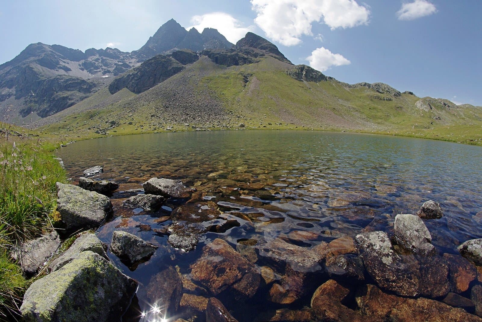
Photo: Jiří Bubeníček · CC BY-SA 4.0

A lovely day trip from Tirano · by car to the nearest point, then on foot
Distance and time from Tirano are calculated to the nearest point reachable by car to the place of interest: the rest of the route is on foot. Always check the route and distances carefully before setting out, also for possible seasonal or temporary closures of roads and passes.
Before you set out, check that the hut is actually open on its official website.
Go to the official website ↗At 2,314 metres, just below the Val Viola Pass, in a plain of small lakes at the foot of the Corno di Dosdè, an old border barracks turned into a hut.
- Type
- Mountain hut
- Municipality
- Valdidentro
- From Tirano
- Visit time
- Opening
- July 1 - September 30Indicative dates, not official: check before you go.
- Official website
- rifugioviola.it
- Interests
- Nature and LandscapeHistory and CultureSport and AdventureValleys, Nature Reserves and Mountain Huts
- Activities
- TrekkingHikingMountain bikingMountaineering
A border barracks in a plain of small lakes, at the foot of the Corno di Dosdè
After Arnoga the dirt road leads into the Val Viola Bormina, and the valley becomes ever higher, quieter and brighter. At the end, at 2,314 metres, in a plain dotted with small lakes and pools and at the foot of the pyramid of the Corno di Dosdè, stands the Viola hut. It is one of the most enchanted places in the Alta Valtellina.
An old border barracks
The geometric shape of the building betrays its origins: it was a military border post, a barracks used in wartime, intelligently reused as a hut. A little higher up, the Val Viola Pass is a border crossing into Switzerland and, on the Swiss side, lies the Lago Viola. Since 1972 the hut has been run with passion by the Fraquelli family.
Nature
All around, many small lakes and streams, pastures where in summer you see marmots and grazing animals, and the peaks of the Val Viola. The Corno di Dosdè dominates the landscape.
From Tirano: distance, driving time and day trip
Viola Mountain Hut from Tirano: about 1 hour 20 minutes by car (62 km), to the nearest starting point; then you continue on foot. You drive up the SS38 to Bormio and continue towards Livigno (SS301) through Valdidentro, the heart of Alta Valtellina and gateway to the Val Viola and the Fraele valley. To these times add the walk described on this page: plan your day accordingly. Stay in Tirano and set out each morning for a new destination: in the Valtellina it is the practical solution for those seeking hotels, services and connections a step from the station.
How to get there
From Bormio take the SS301 towards Livigno and turn left for the Val Viola, as far as Arnoga. In summer you can drive up the dirt road to the small Altumeira car park (with a toll of about 5 euros) or take the shuttle. From Altumeira it is about 2.5 hours' walk, with 200 metres of ascent. From Arnoga it takes about 3 hours on foot or 1.5 hours by bike, with 500 metres of ascent. From Switzerland you can climb from Sfazù in 3 hours, with 600 metres of ascent.
What to do
Walks to the lakes, excursions to the Val Viola Pass and to the Lago Viola, mountain biking (e-bike charging points are available), mountaineering on the nearby peaks.
Before you go
The hut is generally open from July to September. Always check the actual opening on the official website, rifugioviola.it, before setting out. Phone: 0342 985136.
Photo: Marco88bg · CC BY-SA 4.0, Walter Micheletti · CC BY 3.0, Dispe · CC0, Jiří Bubeníček · CC BY-SA 4.0