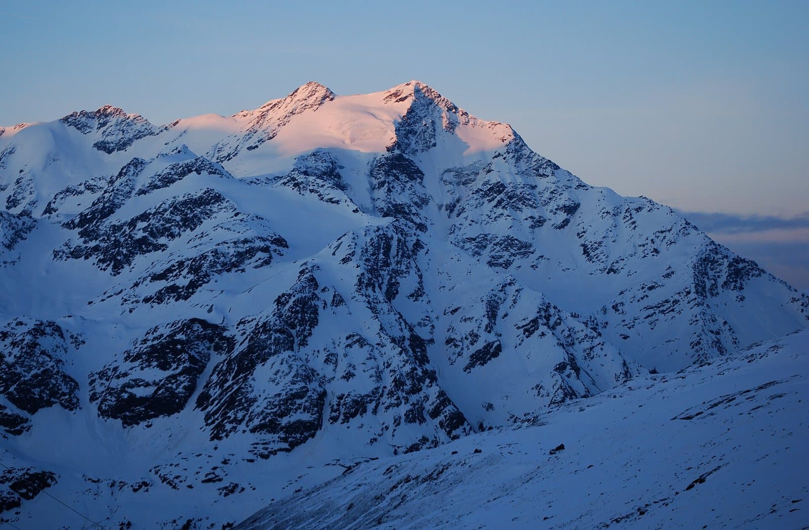
Photo: Svíčková · CC BY-SA 3.0

A lovely day trip from Tirano · by car to the nearest point, then on foot
Distance and time from Tirano are calculated to the nearest point reachable by car to the place of interest: the rest of the route is on foot. Always check the route and distances carefully before setting out, also for possible seasonal or temporary closures of roads and passes.
3,594 metres above the Forni Glacier: the mountain that dawn tints pink above Santa Caterina, last summit of the great chain of the 13 Peaks and a classic climb from the Berni hut.
- Type
- Mountain
- Municipality
- Valfurva
- From Tirano
- Opening
- June 15 - September 30An outdoor place, always reachable. At altitude snow can make roads and paths impassable: they generally clear from June-July to September. An estimate based on the altitude.Indicative dates, not official: check before you go.
- Activities
- MountaineeringSki mountaineering
The last of the thirteen
The Pizzo Tresero, 3,594 metres (3,602 on some maps), rises south-east of Santa Caterina Valfurva and is the last summit of the chain of the 13 Peaks, which starts from the Cevedale and encircles the Forni Glacier to the south and east. A short, sharp ridge ties it to the neighbouring Punta Pedranzini, a few metres higher. On the other sides it descends with slopes of modest gradient, above all to the south, where the Dosegù glacier lies; but to the north it shows a high, steep wall of rock and ice, considered one of the severest of the region.
From military survey to ice
The first ascent was not by climbers but by surveyors: Milanese technicians, for the survey of the 1:86,400 map of the Istituto Geografico Militare, were the first to climb the Tresero. Then came the war: in 1917 the north face was climbed in part by Natale (Nino) Calvi and G. B. Compagnoni, entering from the north-west ridge; the face was fully climbed in 1936 by Carlo Negri and Eugenio Prati, and in 1972 also the north-east icefall.
At dawn
From the Valfurva, the Tresero is one of those mountains you must see in the morning: when the light arrives, its dome of ice lights up pink. The Berni hut, on the Gavia road, and the Pizzini-Frattola hut, at the end of the Forni valley, are the two places from which it is best seen.
From Tirano: distance, driving time and day trip
Pizzo Tresero from Tirano: about 1 hour 5 minutes by car (55 km) to the Berni hut, on the Gavia Pass road; then you continue on foot. You follow the SS38 dello Stelvio to Bormio and go up to Santa Caterina Valfurva; from there the SP29 of the Gavia (about 25 minutes) takes you to the hut. Climbs at altitude take a full day and often a night in a hut, but Tirano, the Alpine Hub of the Valtellina, remains the ideal base for preparing and for returning: hotels, restaurants, shops and the Red Train station a step away.
How to get there
From Santa Caterina Valfurva follow the SP29 of the Gavia Pass to the Berni hut (about 25 minutes by car), or go up from Ponte di Legno. On foot you start from Santa Caterina (2 hours, 800 metres of ascent). From the hut starts the normal route to the Tresero.
What to do
The normal route starts at the Berni hut (2,541 m), on the road that climbs from Santa Caterina to the Gavia Pass: the summit is reached in about four hours. Along the south-west ridge is the Seveso Bivouac. The north face, instead, is a mountaineering undertaking with a long approach (3–4 hours): difficulty TD+.
Before you go
The climb requires glacier travel, crampons, ice axe and rope. The Gavia road is open only in summer: check closures. The opening times of the Berni hut change from year to year: check the official website.