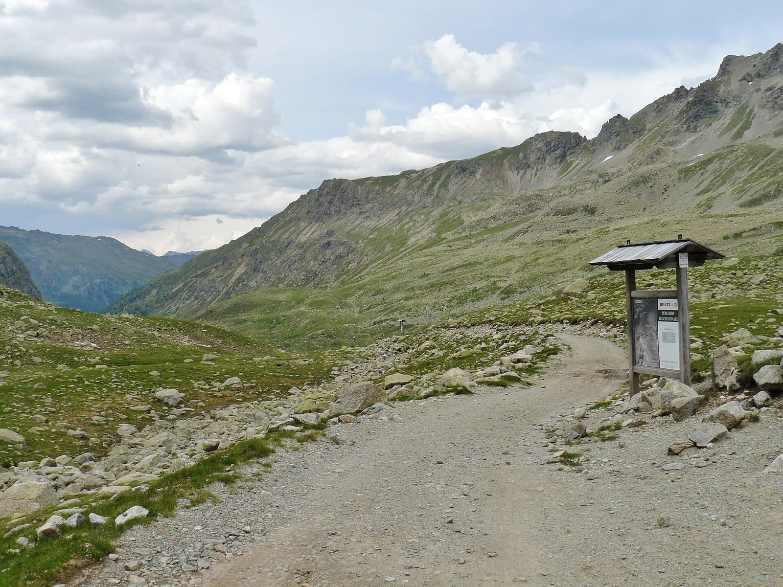
Photo: qwesy qwesy · CC BY 3.0

Easy to reach from Tirano · by car to the nearest point, then on foot
Above 2,500 metres, in an amphitheatre of rock and ice below the Cima Orientale di Lago Spalmo, the milky glacial lake of the Val Verva.
- Type
- Lake
- Municipality
- Grosio
- From Tirano
- Visit time
- Opening
- June 15 - September 30An outdoor place, always reachable. At altitude snow can make roads and paths impassable: they generally clear from June-July to September. An estimate based on the altitude.Indicative dates, not official: check before you go.
- Activities
- HikingMountaineering
The milky lake of the glaciers
Higher up, in an amphitheatre of rocks and snowfields below the Cima Orientale di Lago Spalmo (3,291 m), lies Lake Spalmo, at more than 2,500 metres. The name comes from dialect: *spalmo* means a mixture of water and milk, and so the valley people call glacial lakes, with turbid, milky water, as opposed to the "black" lakes, clear and fed by springs. It is the highest and wildest lake in the Val Verva: above it the glacier, around it only stones and silence.
One name, several lakes
The place name "Lago Spalmo" is used loosely: it gives its name to a group of peaks in the Dosdè and Piazzi area, and some guides also call this lake "Lago del Valun". It is a destination for experienced hikers, to be tackled with a good map and in stable weather.
From Tirano: distance, driving time and day trip
Lake Spalmo di Verva from Tirano: about 55 minutes by car (33 km), to the nearest starting point; then you continue on foot. You follow the SS38 and the SP27 to Grosio, then the Val Grosina road to Fusino, where you buy the ticket to continue. To these times add the walk described on this page: plan your day accordingly. Tirano is the ideal base to visit the Valtellina: hotels and B&Bs, restaurants, shops, supermarkets, the Bernina Red Train station and buses to get around.
How to get there
The starting point is Eita (1,703 m), in the eastern Val Grosina: from Grosio you drive up to Fusino, where you buy the ticket, and then along the paved road to the village. From here the setting is the Val Verva, among paths climbing towards the Passo di Verva. For the exact route consult an up-to-date map or ask at the Eita hut.
Before you go
Above 2,500 metres snow can last until late summer: check conditions and bring suitable clothing.
Photo: qwesy qwesy · CC BY 3.0, qwesy qwesy · CC BY 3.0