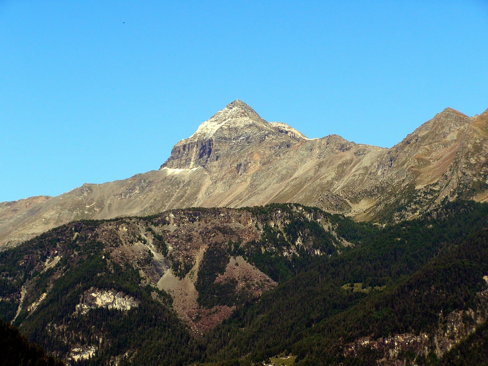
Photo: Luca Celoria · Public domain

A lovely day trip from Tirano
Distance and time from Tirano are calculated to the nearest point reachable by car to the place of interest: the rest of the route is on foot. Always check the route and distances carefully before setting out, also for possible seasonal or temporary closures of roads and passes.
About 2,620 metres between the Campagneda plateau and the Val Poschiavina: a wooden arch marks the crossing between the Valmalenco and the Valposchiavo, a stage of the Alta Via and the Via Alpina.
The wooden arch
The Campagneda Pass, about 2,620 metres (sources give values between 2,609 and 2,636), is the crossing that joins the Campagneda plateau, in the Valmalenco, with the Val Poschiavina and thus with the Valposchiavo, in Switzerland. It is recognised from afar thanks to a wooden arch that marks the highest point of the route, and has earned fame for the beauty of the climb: from the Piano di Campagneda, among huts and small lakes, you climb to the Laghi di Campagneda and the pass, with the mass of the Pizzo Scalino behind you.
A round of passes
The pass is one of the stages of the great traverse itineraries between the Valmalenco and the Valposchiavo: the Alta Via della Valmalenco and the Via Alpina, which lead from Poschiavo to Campo Moro also by way of the Canciano Pass, at about 2,460 metres, on the border. One itinerary describes the complete traverse from Poschiavo to Campo Moro in about 8 and a half hours, with about 1,600 metres of ascent. The most classic loop starts from Campo Moro, climbs to the Campagneda pass, descends into the Val Poschiavina and returns by the paths of the upper Valmalenco.
A skyrace track
Sport passes over this pass too: a wooden sign of the Skyrace Valmalenco-Valposchiavo, the mountain race that joins the two valleys, marks its summit.
From Tirano: distance, driving time and day trip
Campagneda Pass from Tirano: about 1 hour 40 minutes by car (58 km) to Campo Moro, in the Valmalenco; then you continue on foot. You follow the SS38 towards Sondrio and go up the Valmalenco to Lanzada and Campo Franscia; from there the unpaved road leads to the Campo Moro dam. To these times add the walk described on this page: plan your day accordingly. From Tirano, the Alpine Hub of the Valtellina, you can easily organise day trips: in the evening you return to restaurants, shops and a good dinner.
How to get there
From Tirano follow the SS38 to Sondrio, then go up the Valmalenco to Lanzada and Campo Franscia; from there the unpaved road leads to the Campo Moro dam (about 2,000 m). From the dam, near the Poschiavino hut, the path crosses the meadows of Campagneda and climbs to the pass.
What to do
For a taste you just need to climb from the Campo Moro huts towards Campagneda: the lakes and huts, with the Pizzo Scalino reflected, are the ideal goal for half a day. The Cristina hut, at the Alpe Prabello, is about an hour away.
Before you go
The pass is on the border with Switzerland: carry ID. The altitude of the pass varies from one source to another. Check hut opening times and path conditions before setting out.
Gallery
Photo: Mænsard Vokser · CC BY-SA 4.0