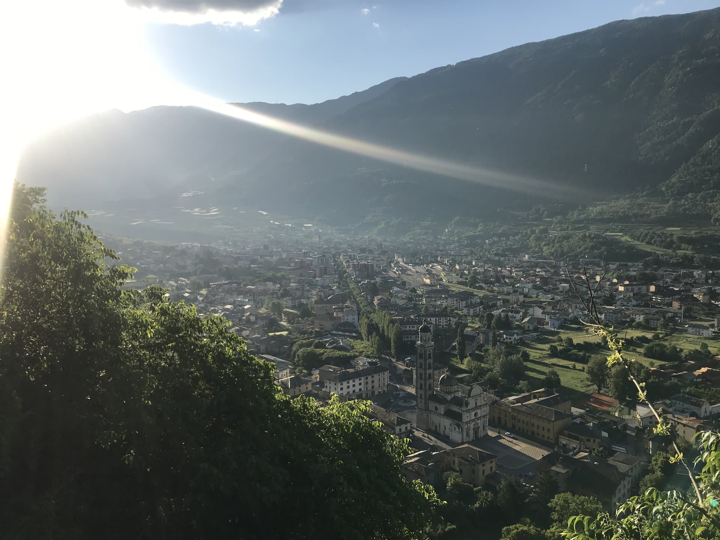
Photo: Claudio Corcoglioniti
A stone's throw from Tirano
The route
- Length
- 114.7 km
- Highest point
- 1,192 m
- Lowest point
- 193 m
- Difficulty
- Easy
The track is derived from OpenStreetMap (© OpenStreetMap contributors, ODbL licence) and is indicative: ascents and altitudes are estimates. Before setting out always check the route, difficulty, conditions and any seasonal or temporary closures.
The silver thread of the valley floor: a cycle route of about 114 kilometres from Bormio to Colico, almost all flat, with Tirano along the way. Ideal for a first day in the saddle, or for any family.
A cycle route as long as a valley
The Sentiero Valtellina is the backbone of anyone who rides in these parts. It follows the Adda from Bormio to Colico, on Lake Como: it is about 114 kilometres, largely flat and paved, with a few unpaved stretches along the river. It passes through Tirano, the orchards of the Media Valtellina, Sondrio, the villages of the valley floor: a thin line that joins everything, and lets you choose the right stretch for the right day.
The starting point of the other routes
For mountain-bike lovers it is above all a link: from here the climbs start towards the mid-mountain meadows, the bike parks and the side valleys, and those looking for demanding trails often reach them by bike. For everyone else it is a route in its own right, easy and scenic, for an hour or a full day. Along the Tirano-Sondrio-Morbegno-Colico line there are rental points that let you return the bike at another point, and the train is plan B if the legs say enough.
From Tirano: distance, driving time and day trip
Sentiero Valtellina from Tirano: about 5 minutes by car (2 km) to the starting point (Tirano); then you continue by bike along the route. To these times add the ride described on this page: plan your day accordingly. From Tirano, the Alpine Hub of the Valtellina, you can easily organise day trips: in the evening you return to restaurants, shops and a good dinner.
How to get there
The recommended starting point is Tirano, reachable by car from Tirano (times above); those travelling without a car can consider the train to the nearest town and then the bike. Download the GPX track from this page and save the maps offline before setting out: the mobile network may be missing.
How to ride it
Pick a stretch and go: from Tirano towards Sondrio or Bormio, out and back or one way with the train. The surface is mostly paved, so even a city bike or an e-bike will do.
Before you go
Check the weather, the route conditions and any seasonal or temporary closures of roads and paths. Carry a helmet, water, food, a repair kit and a charged phone: the single emergency number is 112. Respect walkers, animals and protected areas, and always give way to those on foot.