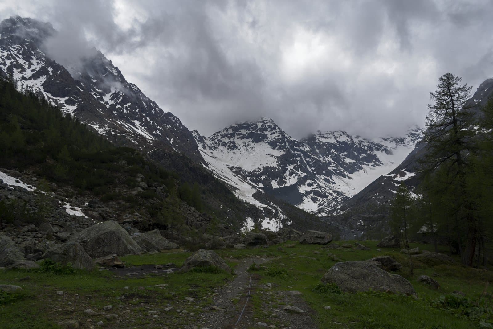
Photo: Gabriele Benedetti · CC BY-SA 4.0

A lovely day trip from Tirano
Distance and time from Tirano are calculated to the nearest point reachable by car to the place of interest: the rest of the route is on foot. Always check the route and distances carefully before setting out, also for possible seasonal or temporary closures of roads and passes.
2,562 metres from Chiareggio to the Engadine, by a crossing known since antiquity: a military road of the Cadorna Line, the Protestant refugees of 1620 and the source of the Mera a few steps away.
- Type
- Mountain passes and springs
- Municipality
- Chiesa in Valmalenco
- From Tirano
- Opening
- June 15 - September 30An outdoor place, always reachable. At altitude snow can make roads and paths impassable: they generally clear from June-July to September. An estimate based on the altitude.Indicative dates, not official: check before you go.
- Activities
- HikingTrekking
An ancient crossing
The Muretto Pass, 2,562 metres, connects the Valmalenco (province of Sondrio) with the Maloja Pass (Canton of the Grisons), that is, the Valtellina with the Val Bregaglia and the Engadine. It separates the mountains of the Val Bregaglia, to the west, from the Bernina massif, to the east. The name «Muretto» («Pass de Müret» in the local dialect) is thought to derive from the very ancient root «mür», which would indicate a height, perhaps the nearby Monte dell'Oro. Known since antiquity, it was exploited also for its relatively low altitude and for the convenience of the Sondrio-Chur axis, thanks to the subsequent crossing of the Septimer Pass.
A history of flights
The Muretto is also a page of the religious history of the Valtellina. On 24 July 1618 a troop of soldiers of the Grisons passed this way to go to Sondrio, where they took the archpriest Nicolò Rusca and deported him to Chur: accused of having tried to kill a Protestant pastor, he died at Thusis from the torture he suffered. That event was one of the causes of the Sacro Macello di Valtellina, in July 1620; and in the following days many surviving Protestants found refuge in the Engadine right through the Muretto.
Military road and mule track
From Chiareggio the pass is reached by a wide track, the remains of the military carriage road of the Northern Frontier (the Italian defensive system against Switzerland known, improperly, as the Cadorna Line), built in the First World War and today closed to cars. On the Swiss side, from Maloja, a historic path that allowed the passage of horses and pack animals can today, because of landslides and avalanches and poor maintenance, barely be walked. From the Piz Duan, above the pass, the river Mera rises.
From Tirano: distance, driving time and day trip
Muretto Pass from Tirano: about 1 hour 15 minutes by car (56 km) to Chiareggio, in the Valmalenco; then you continue on foot. You follow the SS38 towards Sondrio and go up the Valmalenco to Chiesa and Chiareggio. To these times add the walk described on this page: plan your day accordingly. From Tirano, the Alpine Hub of the Valtellina, you can easily organise day trips: in the evening you return to restaurants, shops and a good dinner.
How to get there
From Tirano follow the SS38 to Sondrio, then go up the Valmalenco to Chiesa and Chiareggio. From Chiareggio a wide track (the old military road) climbs to the pass, on foot. On the other side you descend to Maloja, in Switzerland.
What to do
From the Ventina hut and from Chiareggio you climb to the pass by a wide, regular walk: on the other side, in view, the Engadine. The Muretto is also a gateway from Chiareggio to the upper Valmalenco, where you walk beneath the Disgrazia.
Before you go
The pass is on the border with Switzerland: carry ID. The military road is not open to vehicles. The Swiss stretch is less maintained and may be subject to landslides. Check conditions before setting out. Some historical information (such as the date of the Sacro Macello) should be checked on up-to-date sources.
Photo: Gaggi Luca 76 · CC BY 3.0, Gaggi Luca 76 · CC BY 3.0, Gaggi Luca 76 · CC BY 3.0