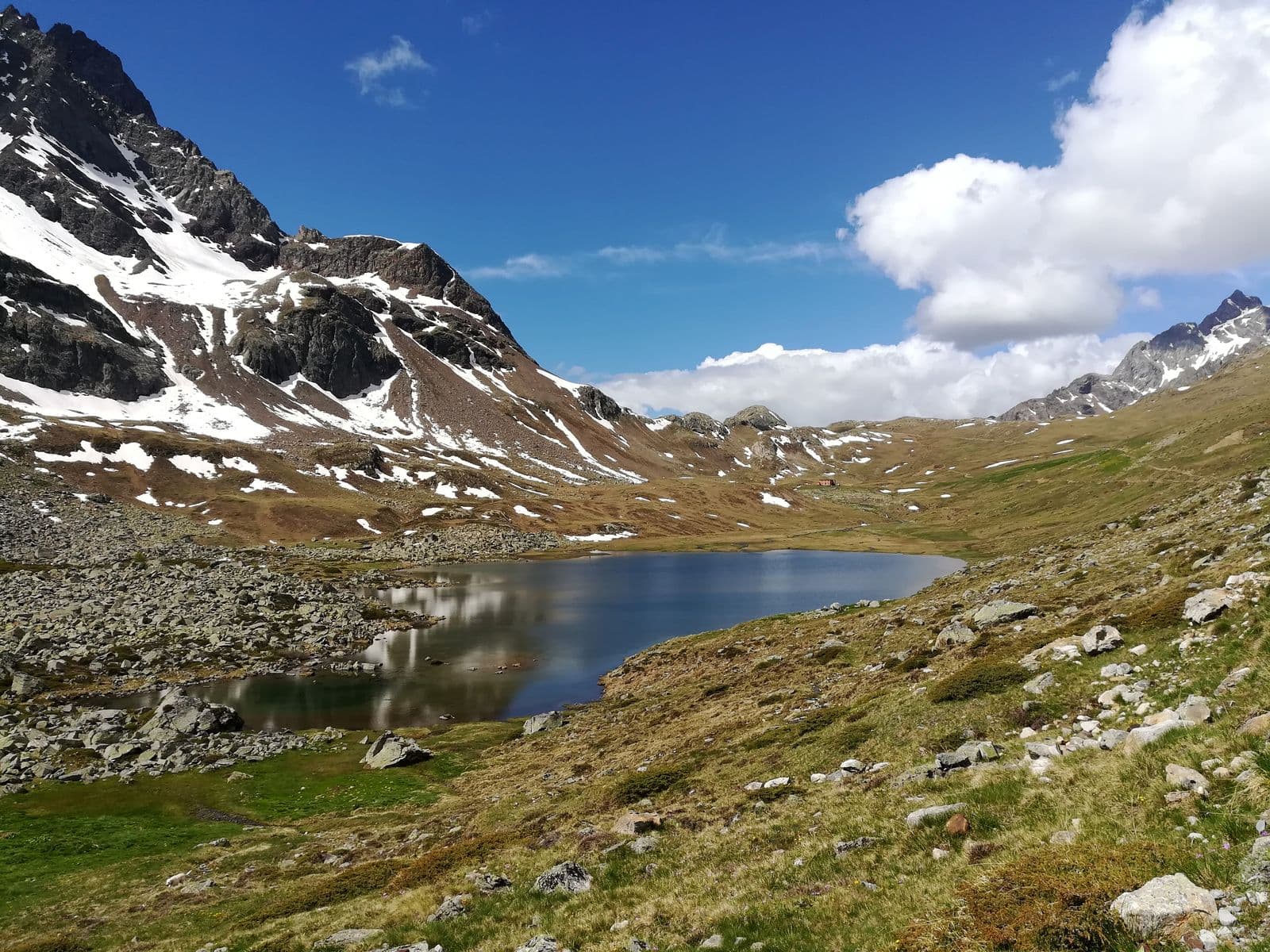
Photo: Istvan182 · CC BY-SA 4.0

A lovely day trip from Tirano
Distance and time from Tirano are calculated to the nearest point reachable by car to the place of interest: the rest of the route is on foot. Always check the route and distances carefully before setting out, also for possible seasonal or temporary closures of roads and passes.
Beyond the lakes of the Viola hut, a border pass between Valdidentro and Valposchiavo at about 2,430-2,470 metres: a path between the Corno di Dosdè and the Piz Val Nera, much loved by mountain bikers.
- Type
- Mountain passes and springs
- Municipality
- Valdidentro
- From Tirano
- Opening
- June 15 - September 30An outdoor place, always reachable. At altitude snow can make roads and paths impassable: they generally clear from June-July to September. An estimate based on the altitude.Indicative dates, not official: check before you go.
- Activities
- HikingMountain bikingTrekking
The pass behind the lakes
The Val Viola Pass (in Romansh Pass da Val Viola) is a pass of the Livigno Alps, between the Val Viola Bormina and the Val di Campo. Sources give the altitude between 2,432 and 2,470 metres: you find it between the Corno di Dosdè and the Piz Val Nera. On the pass runs the border between Italy and Switzerland, and the pass links the Bernina road, near Poschiavo, with the Valdidentro and Bormio. It is not a road: it is a path closed to motor traffic, which mountain bikers love.
An old border barracks
On the Italian side the road ends much earlier, at Arnoga: then you walk, on tracks and almost level paths, to the Viola hut, an old border barracks turned into a hut since 1972. A few steps from the pass, on the Swiss side, is the Lago Viola; further on the descent leads into the Val di Campo and, from there, to Sfazù and Poschiavo. It is one of those doors between two worlds that need no walls: the border is a sign, and a bit of descent.
A passage of history
The pass also has a historical soul: along the slope runs the Decauville, the old route of a narrow-gauge railway that carried material from the Cancano dams to Arnoga, today an almost level, panoramic path. The Val Viola, all around, is a great mountain garden inside the Stelvio National Park.
From Tirano: distance, driving time and day trip
Val Viola Pass from Tirano: about 1 hour 25 minutes by car (62 km) to Arnoga, in Valdidentro; then you continue on foot along the Val Viola. You follow the SS38 dello Stelvio to Bormio and then the SS301 towards Livigno; after about 15 km you turn left for the Val Viola. To these times add the walk described on this page: plan your day accordingly. From Tirano, the Alpine Hub of the Valtellina, you can easily organise day trips: in the evening you return to restaurants, shops and a good dinner.
How to get there
From Bormio take the SS301 towards Livigno and the Foscagno Pass and, after about 15 km, turn left for the Val Viola as far as Arnoga (1,850 m). An unpaved road of about 5 km leads to the Altumeira car park (in summer also with a shuttle); from here you walk towards the Viola hut and, higher up, the pass. From Switzerland you go up from Sfazù.
What to do
From the Viola hut you climb to the pass with a final uphill stretch; on the other side the Val di Campo descends to the lakes and the Saoseo hut. For cyclists, the loop between Val Viola, pass, Val di Campo and back is one of the great classics of the Upper Valtellina.
Before you go
The altitude of the pass varies from one source to another (2,432–2,470 m): check an up-to-date map. The Swiss border is on the pass: carry ID. The Viola hut normally opens from July to September; check the official website (rifugioviola.it).
Photo: Walter Micheletti · CC BY 3.0, Marco88bg · CC BY-SA 4.0