Photo: Dispe · CC0

A lovely day trip from Tirano · by car to the nearest point, then on foot
Distance and time from Tirano are calculated to the nearest point reachable by car to the place of interest: the rest of the route is on foot. Always check the route and distances carefully before setting out, also for possible seasonal or temporary closures of roads and passes.
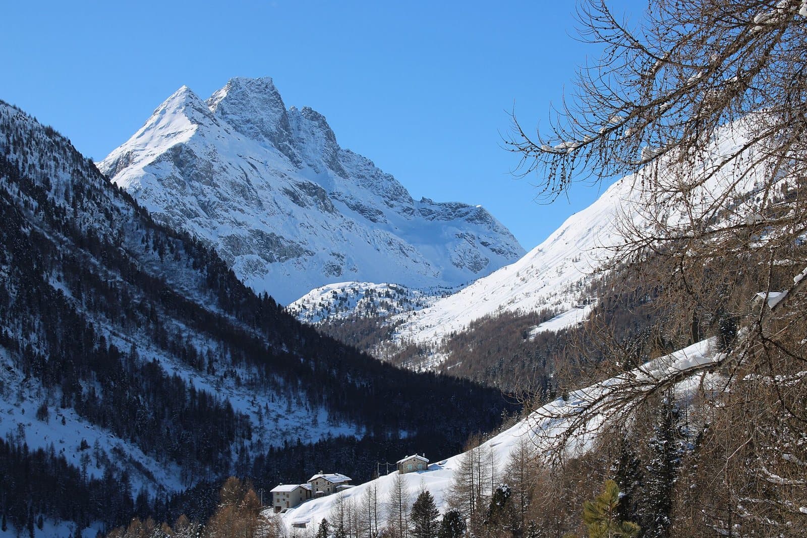
The pyramid of the Val Viola: 3,232 metres of dark rock that dominates the lakes of the Viola hut and mirrors its point in the sunsets of Valdidentro, with a snowfield a step from the path.
- Type
- Mountain
- Municipality
- Valdidentro
- From Tirano
- Opening
- June 15 - September 30An outdoor place, always reachable. At altitude snow can make roads and paths impassable: they generally clear from June-July to September. An estimate based on the altitude.Indicative dates, not official: check before you go.
- Activities
- MountaineeringSki mountaineering
The pyramid of Valdidentro
The Corno di Dosdè, 3,232 metres, is a mountain of the Livigno Alps, south-west of Valdidentro, in Lombardy. On its eastern side it looks down on the Swiss valley of Poschiavo: the border runs over a secondary summit, of 3,162 metres, west of the main peak. But it is from the Italian side, from the Val Viola Bormina, that it shows itself at its best: a dark, sharp pyramid, which the Viola hut has before it, in a plain of small lakes, and which the sunset lights up in red.
A snowfield, a valley, a hut
At the foot of the Corno stretches the upper Val Dosdè, a glacial valley of pastures and erratic boulders, with small lakes and streams, where the Federico in Dosdè hut (2,133 m) stands, dedicated to the young Bormio climber Federico Valgoi, who died in 2002 in the mountains he loved. Above, on the side of the Corno, the Dosdè snowfield and, higher up, the glacier: the setting is that of high altitudes, and a few minutes from the hut marmots whistle among the stones.
From barracks to summit
The other great landmark is the Viola hut (2,314 m), an old border barracks turned into a hut and run since 1972 by the Fraquelli family, at the foot of the pyramid. From here start the routes to the summits: the Corno di Dosdè, the Pizzo Dosdè (3,280 m), the Cima Viola and the other sisters of the valley.
From Tirano: distance, driving time and day trip
Corno di Dosdè from Tirano: about 1 hour 25 minutes by car (62 km) to Arnoga, in Valdidentro, for the Val Viola; then you continue on foot. You follow the SS38 dello Stelvio to Bormio, then the SS301 towards Livigno; after about 15 km you turn left for the Val Viola. Climbs at altitude take a full day and often a night in a hut, but Tirano, the Alpine Hub of the Valtellina, remains the ideal base for preparing and for returning: hotels, restaurants, shops and the Red Train station a step away.
How to get there
From Bormio take the SS301 towards Livigno and the Foscagno Pass and, after about 15 km, turn left for the Val Viola as far as Arnoga (1,850 m). An unpaved road of about 5 km climbs to the Altumeira car park (in summer also with a shuttle); from here the Federico in Dosdè hut is about 20 minutes on foot and the Viola hut about two and a half hours.
What to do
For walkers, the classic goal is the Viola hut and the Lago Viola, with the Corno always in front: from Altumeira it is about two and a half hours' walk. The Federico in Dosdè hut, about 20 minutes from the car park, is another way of arriving at its foot, with sport climbing (routes from 4a to 6c) and mountaineering. In winter, snowshoeing and ski mountaineering.
Before you go
The climb to the summit is a mountaineering route and requires experience. The Val Viola is in the Stelvio National Park: respect the park rules. Hut opening times change: check the official websites (rifugioviola.it for the Viola hut).