Photo: Dispe · CC BY-SA 4.0

Easy to reach from Tirano · by car to the nearest point, then on foot
Distance and time from Tirano are calculated to the nearest point reachable by car to the place of interest: the rest of the route is on foot. Always check the route and distances carefully before setting out, also for possible seasonal or temporary closures of roads and passes.
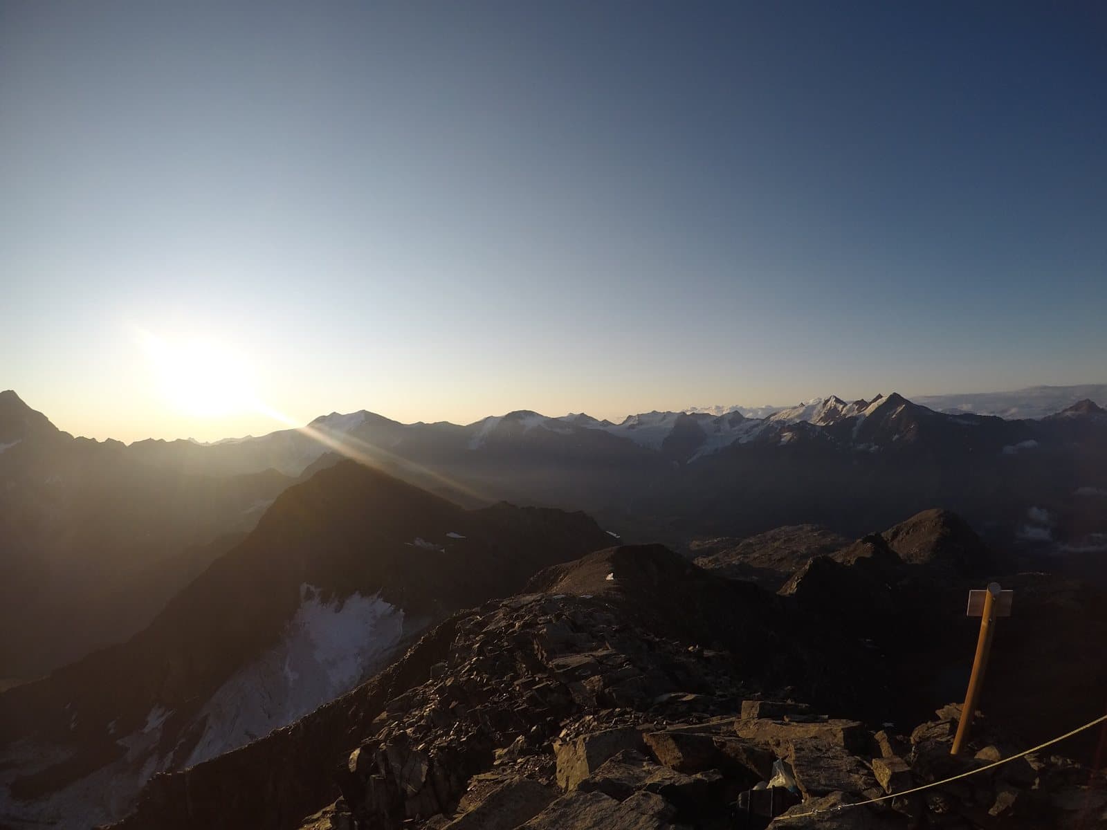
A 3,370-metre peak in the heart of the Stelvio Park, above Santa Caterina: dawn lights it up, a lonely bivouac on the ridge waits for you, and the Giro del Confinale circles it.
A three-thousander close to home
The Monte Confinale, 3,370 metres, is in the Valfurva, between Santa Caterina and the Forni valley, in the Ortles-Cevedale group and in the heart of the Stelvio National Park. It is a mountain that asserts itself without shouting: a solid summit, a step from the great names. It is a less celebrated peak than its high-altitude sisters, but for that very reason more intimate.
A bivouac on the ridge
Its point of support is the Giampaolo Del Piero Bivouac, at about 3,160 metres, on the ridge between the Confinale and the Cima della Manzina: nine places with mattresses, blankets, a table and a stove, reached after hours of walking. For those who love nights at altitude, it is a place of rare beauty.
A ring of days
The Confinale is the star of the Giro del Confinale, one of the great itineraries of the Upper Valtellina, and in winter it is a ski-mountaineering objective, with about 1,600 metres of ascent from Santa Caterina.
From Tirano: distance, driving time and day trip
Monte Confinale from Tirano: about 55 minutes by car (52 km) to Santa Caterina Valfurva; then you continue on foot. You follow the SS38 dello Stelvio to Bormio and go up the Valfurva to Santa Caterina. Climbs at altitude take a full day and often a night in a hut, but Tirano, the Alpine Hub of the Valtellina, remains the ideal base for preparing and for returning: hotels, restaurants, shops and the Red Train station a step away.
How to get there
From Bormio go up the Valfurva to Santa Caterina. From here the path climbs to the Pradaccio and the Lago della Manzina, then to the Del Piero Bivouac and the summit: an itinerary for experienced hikers, with about 1,600–1,700 metres of ascent.
What to do
From the Stella Alpina hut, at Campec, a path crosses the huts of Pradaccio, climbs to the Lago della Manzina and to the bivouac: an itinerary of about 1,600 metres of ascent, graded for experienced hikers, with the last stretch on steep scree marked by cairns. If you do not go to the summit you can stop at the lake, in a place of great beauty.
Before you go
The climb is for experienced hikers: the last stretch is on steep scree with traces and cairns. In winter and spring assess the avalanche risk. Information on bivouac and paths should be checked: figures vary from one source to another.
Gallery
Photo: Svíčková · CC BY-SA 3.0