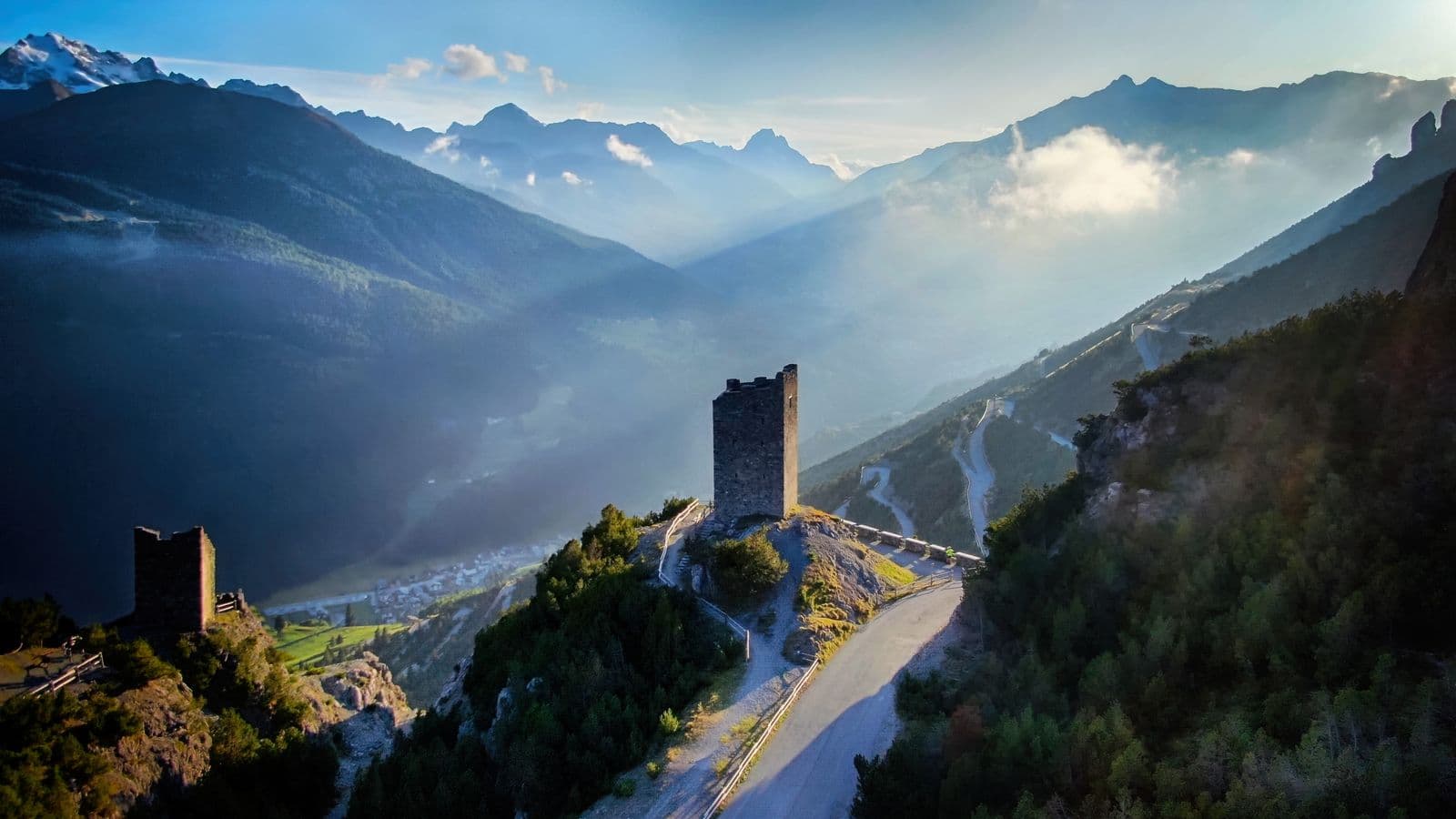
Photo: Maga84 · CC BY-SA 4.0

Easy to reach from Tirano · by car to the nearest point, then on foot
The route
- Ascent
- 144 m
- Highest point
- 1,920 m
- Lowest point
- 1,846 m
- Difficulty
- Easy
The track is derived from OpenStreetMap (© OpenStreetMap contributors, ODbL licence) and is indicative: ascents and altitudes are estimates. Before setting out always check the route, difficulty, conditions and any seasonal or temporary closures.
A flat, panoramic path on the track of a mountain railway: twelve kilometres between Arnoga and Cancano, above Valdidentro, on foot or by bike.
- Type
- Trails
- Municipality
- Valdidentro
- From Tirano
- Opening
- June 15 - September 30An outdoor place, always reachable. At altitude snow can make roads and paths impassable: they generally clear from June-July to September. An estimate based on the altitude.Indicative dates, not official: check before you go.
- Activities
- HikingMountain biking
The name comes from a French engineer, Paul Decauville, who in 1873 presented a system of portable narrow-gauge railways, made of prefabricated tracks easy to assemble and dismantle. A brilliant idea for building sites and mines, which in the Upper Valtellina left an unexpected legacy: a footpath.
Here the little train carried materials for the Cancano and San Giacomo dams, the great barriers that now form the lakes. Sources do not agree on the date: some speak of work begun in 1922, others of use in the 1960s. What is certain is that the rails have gone and the route has remained, and today it is the old service road for reaching the dams.
The route runs along the mid-slope, between Arnoga and the lakes, with trail marker 195. It measures about twelve or thirteen kilometres, with a total ascent of around a hundred metres and a maximum gradient of 22% in a few stretches: an easy difficulty. From Arnoga you climb through the wood to the Alpe Gattonino, at about 1,900 metres; from there you continue to the Fraele Towers, Lake delle Scale and Lake Cancano, at 1,950 metres. The surface is almost always dirt, except for the asphalted hairpins near the dams.
From the Decauville the view opens over Valdidentro as far as Bormio, with the rocky massif of the Plator peaks opposite. It is a view for slow walking: the larch and fir wood, the meadows, the lakes in the distance, and the sounds of the valley floor muffled.
It is an itinerary for everyone. On foot it takes about two and a half hours; by mountain bike, between one and two hours. It can be done in either direction, starting from Arnoga or from the Fraele Towers: from the towers you go down two hairpins on the Cancano road and take the Decauville. In winter the first stretch from Arnoga is groomed, for sled dogs and walks, with views of Bormio and Valdidentro.
The Decauville is also a perfect loop for cyclists: you can climb from Isolaccia to the Fraele Towers on asphalt, descend by the Decauville to Arnoga and continue into Val Viola. And for those who prefer to walk, it is the ideal link between two of the most beautiful places in the Upper Valtellina.
A path that tells two stories at once: that of engineering at the service of the mountain and that of a landscape that, even after the building sites, kept giving beauty. A gentle, panoramic way to cross Valtellina.
From Tirano: distance, driving time and day trip
La Decauville from Tirano: about 1 hour by car (52 km), to the nearest starting point; then you continue on foot. You drive up the SS38 to Bormio and continue towards Livigno (SS301) through Valdidentro, the heart of Alta Valtellina and gateway to the Val Viola and the Fraele valley. To these times add the walk described on this page: plan your day accordingly. Tirano is the ideal base to visit the Valtellina: hotels and B&Bs, restaurants, shops, supermarkets, the Bernina Red Train station and buses to get around.
Photo: qwesy qwesy · CC BY 3.0, qwesy qwesy · CC BY 3.0